And we are off, again…

with No Comments

The new academic season has started and the field science/studies group is getting underway. After our work in Iceland this past summer (see the blog, pictures, playlist, etc.) we have a bunch of data to organize and analyze with various toolchains. Working on this now are Craig, Nic, Erin, Niraj, and Vitalii. Kristin and I are also working on Android and platform development together. At some point they will make posts describing what they are working on, maybe even updated regularly… Most of my time so far this fall has been spent on the field studies/May Term proposal, helping Vitalii and Niraj get started, and tomorrow I’m going to put on-off switches on a couple of ambiance platforms so they are easier to work with. I still can’t fathom how we didn’t have those from the get-go.

Day one at Skalanes

with No Comments

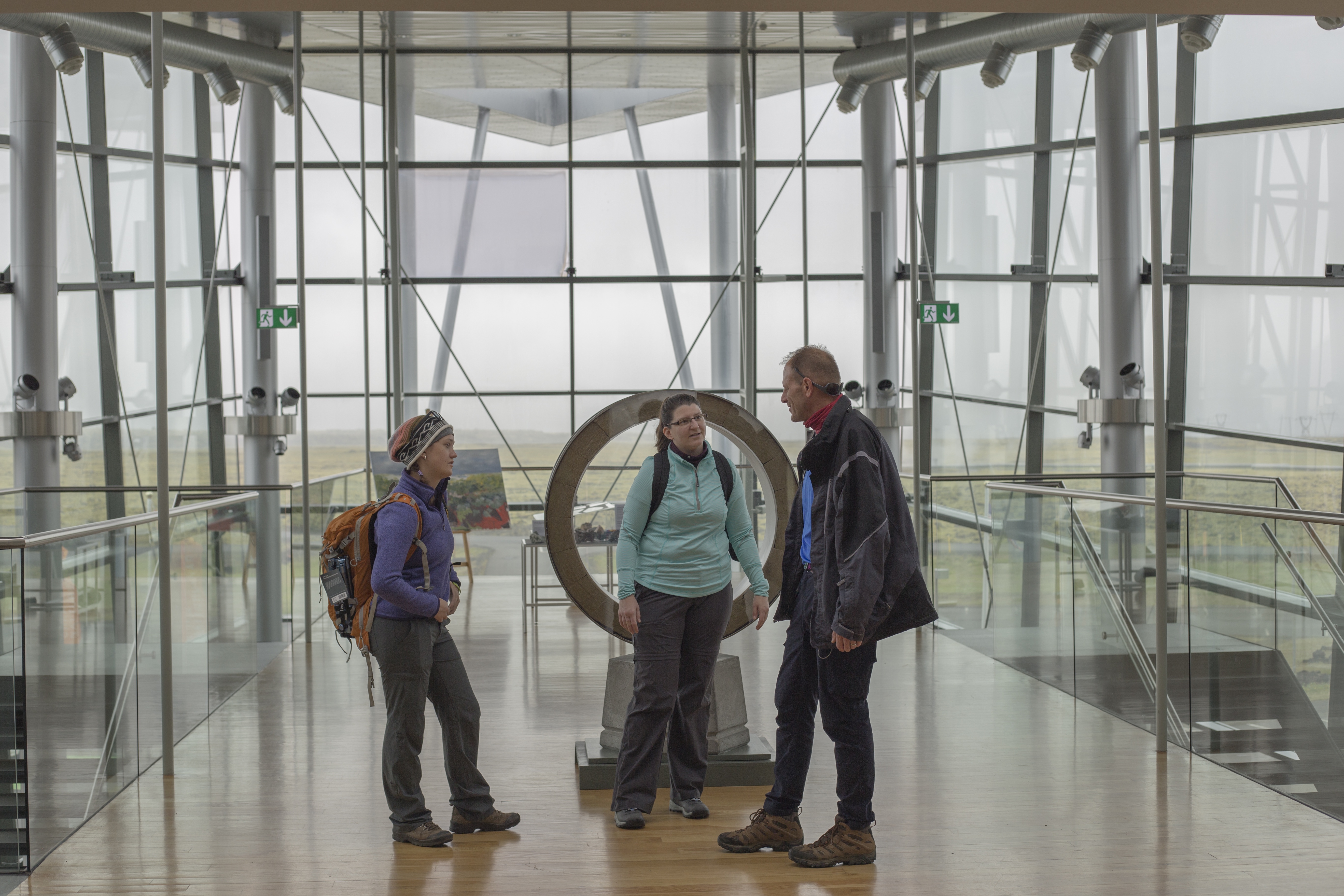
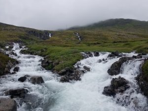
We arrived at Skalanes late in the day yesterday and settled-in for the next week, it will be nice not to be moving every other day or so. There is a group of students from Scotland working here this summer so we’ll be sharing the chores with them and helping each other where our projects overlap. Skalanes is an experimental nature and heritage field center at the end of a peninsula on the East coast of Iceland. You can drive to within about 3km of it on a gravel road that heads east out of Seyðisfjörður, from there you hike the rest of the way, including crossing a couple of amazing rivers.

20160701_160043_001

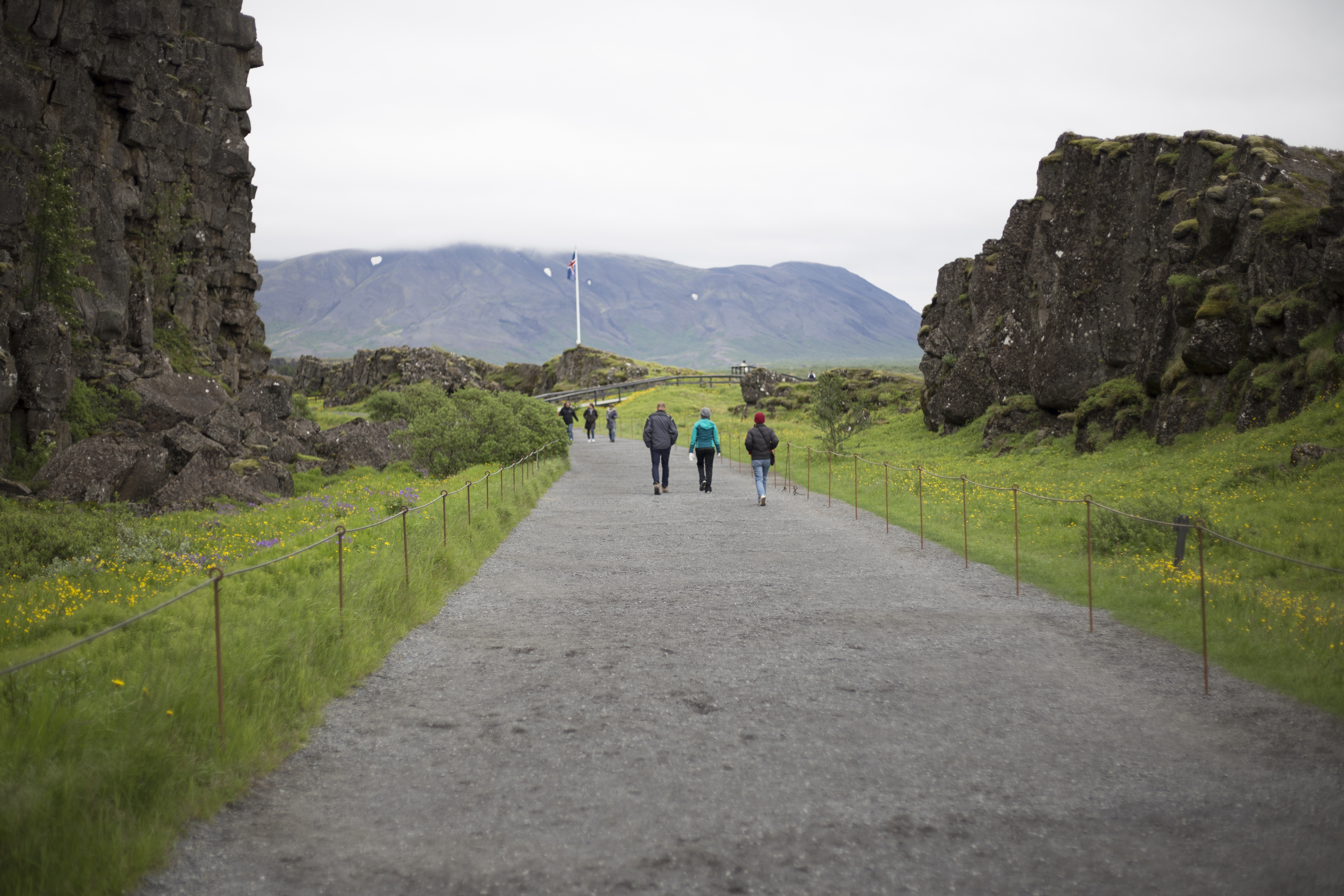
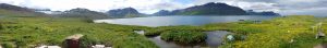
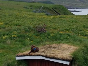
Skalanes sits near the shore of one of Iceland’s many fjords, and while we are here to work on a variety of projects it’s hard not to look-up now and again and relish the view.

skalanes-panorama

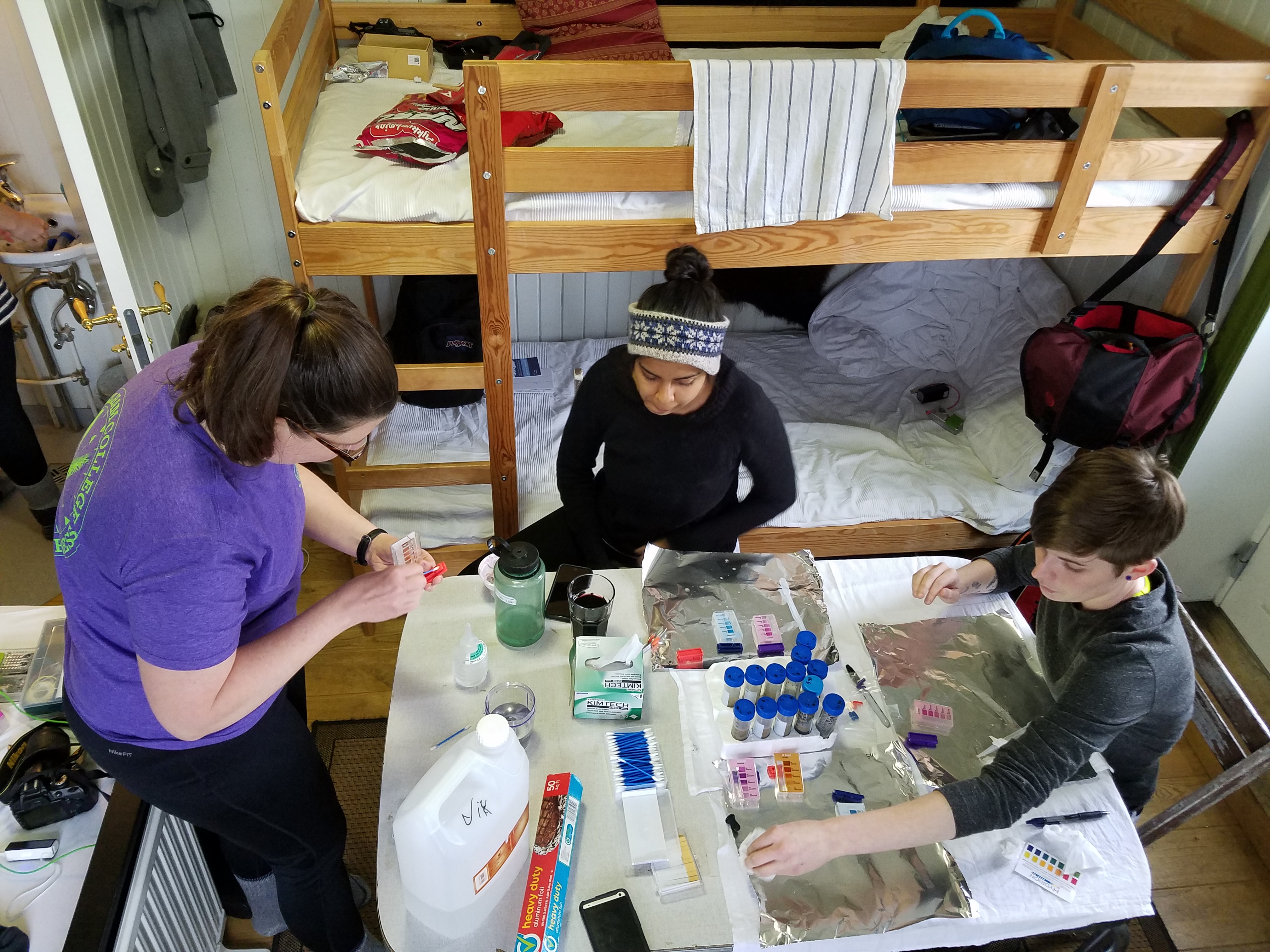
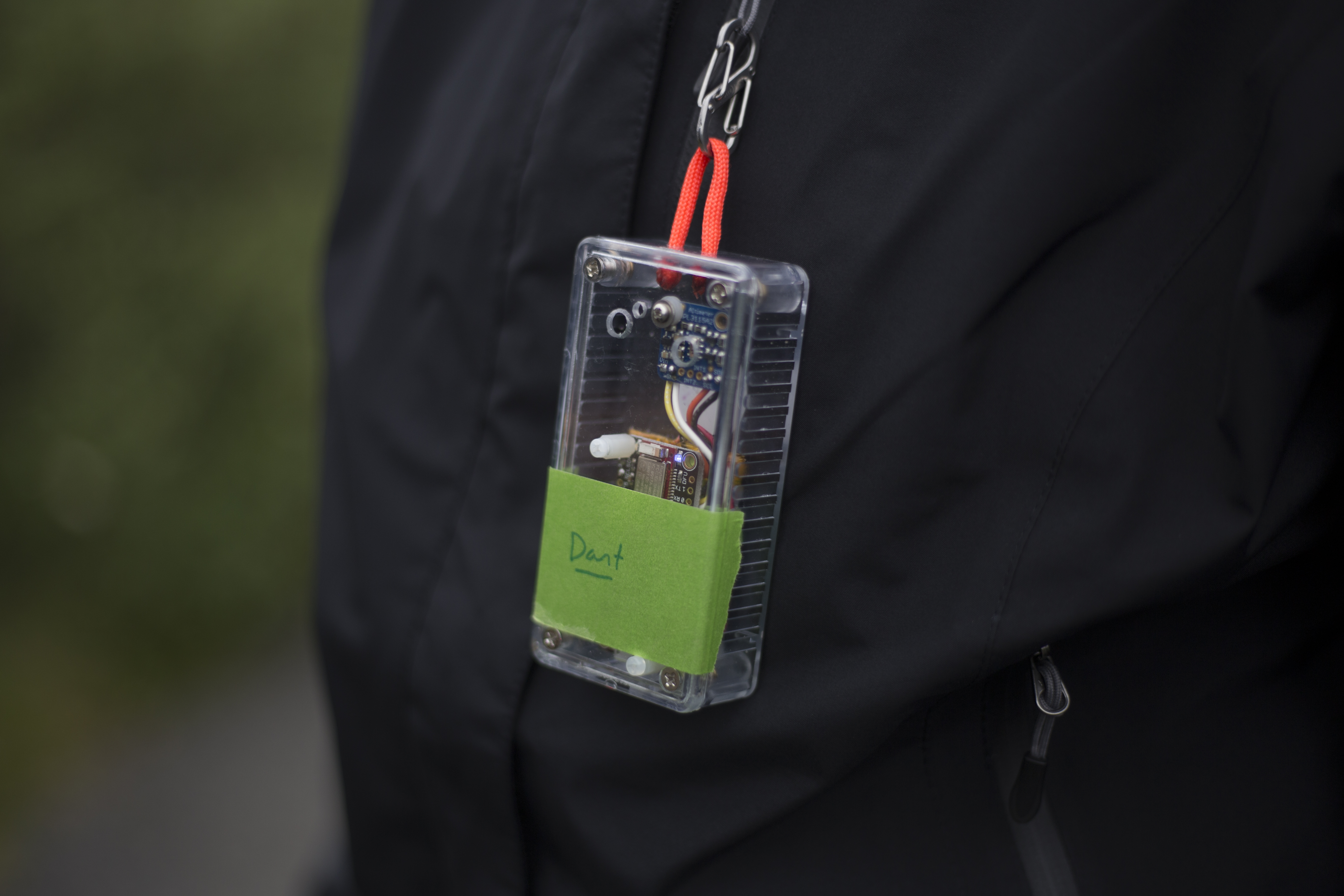
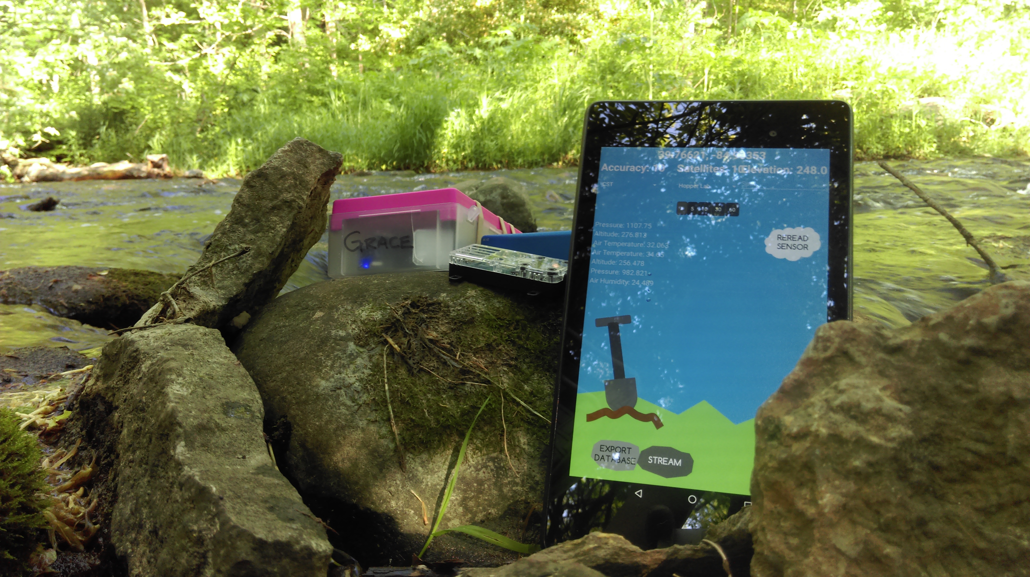
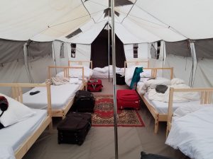
We have two spaces to use here when we are not outside collecting samples, etc., our sleeping tent and our “office” where we do the indoor science work and programming.

20160702_171041 20160702_164600

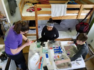
In the picture above Gail, Deeksha, and Kristin are performing the NPK and pH tests on the soil samples we collected in the forefield of the Solheimajokull extent of the Myrdalsjokull glacier last Thursday. 

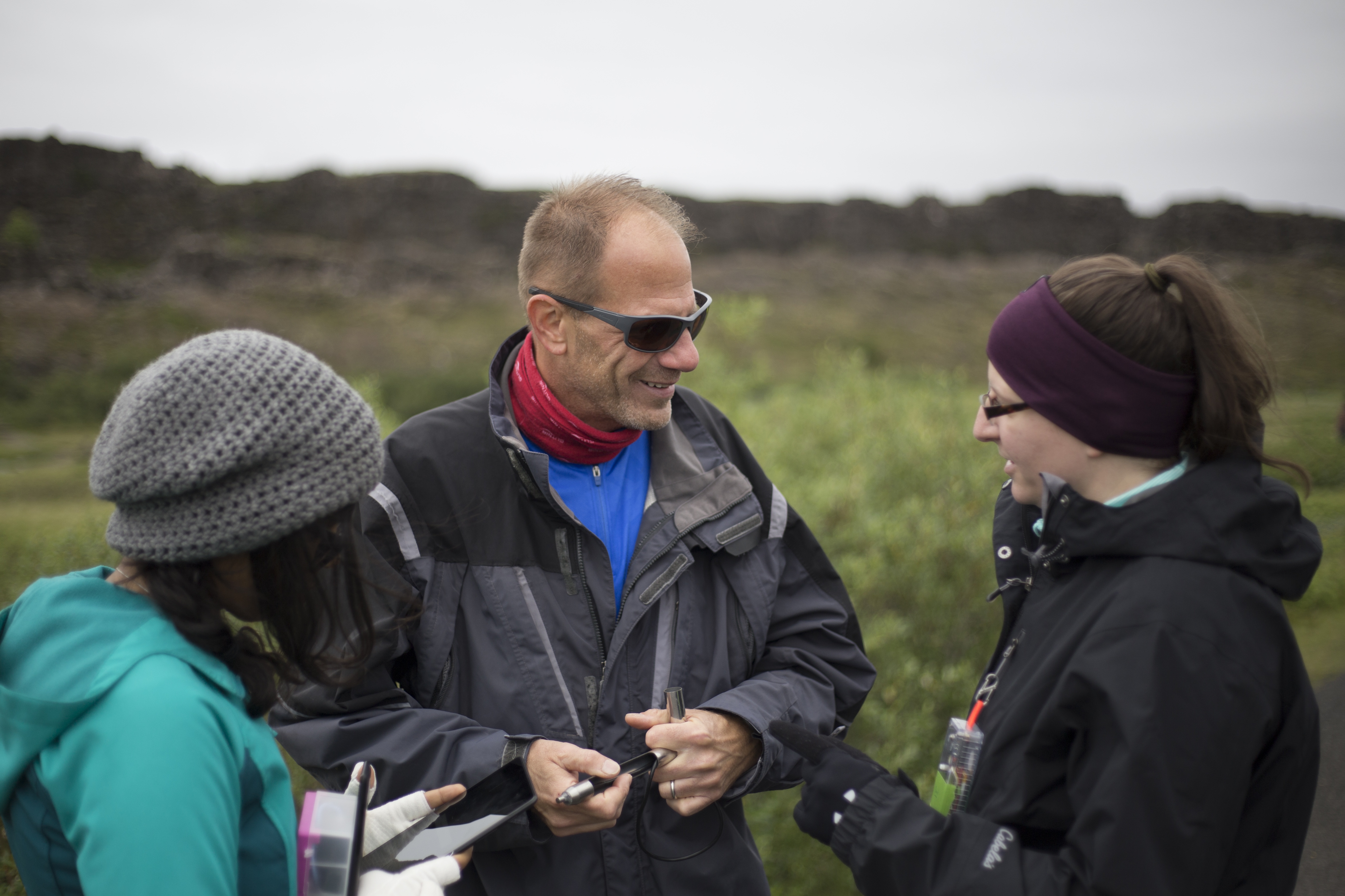
While we’re here we plan to work on a number of projects: improving the field/bench sampling functions of Field Day (our Android app), flying the UAVs over the archeological sites to capture close-in DNG images, performing small-scale LiDAR and magnetometer surveys on the archeological sites, testing the garden soil, measuring the flow rate of a river with an eye towards hydro power, and integrating all of the data we collect into QGIS.

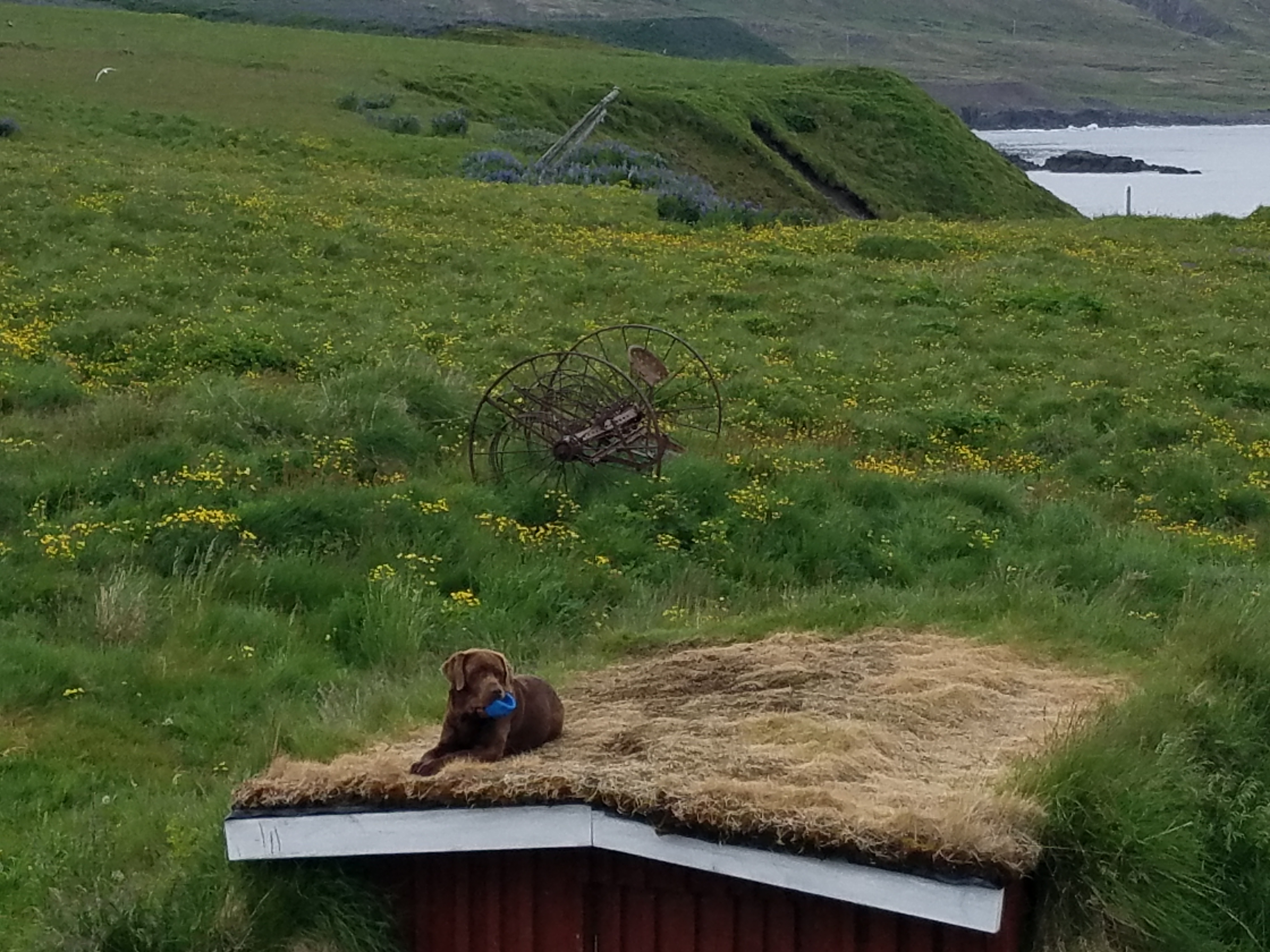
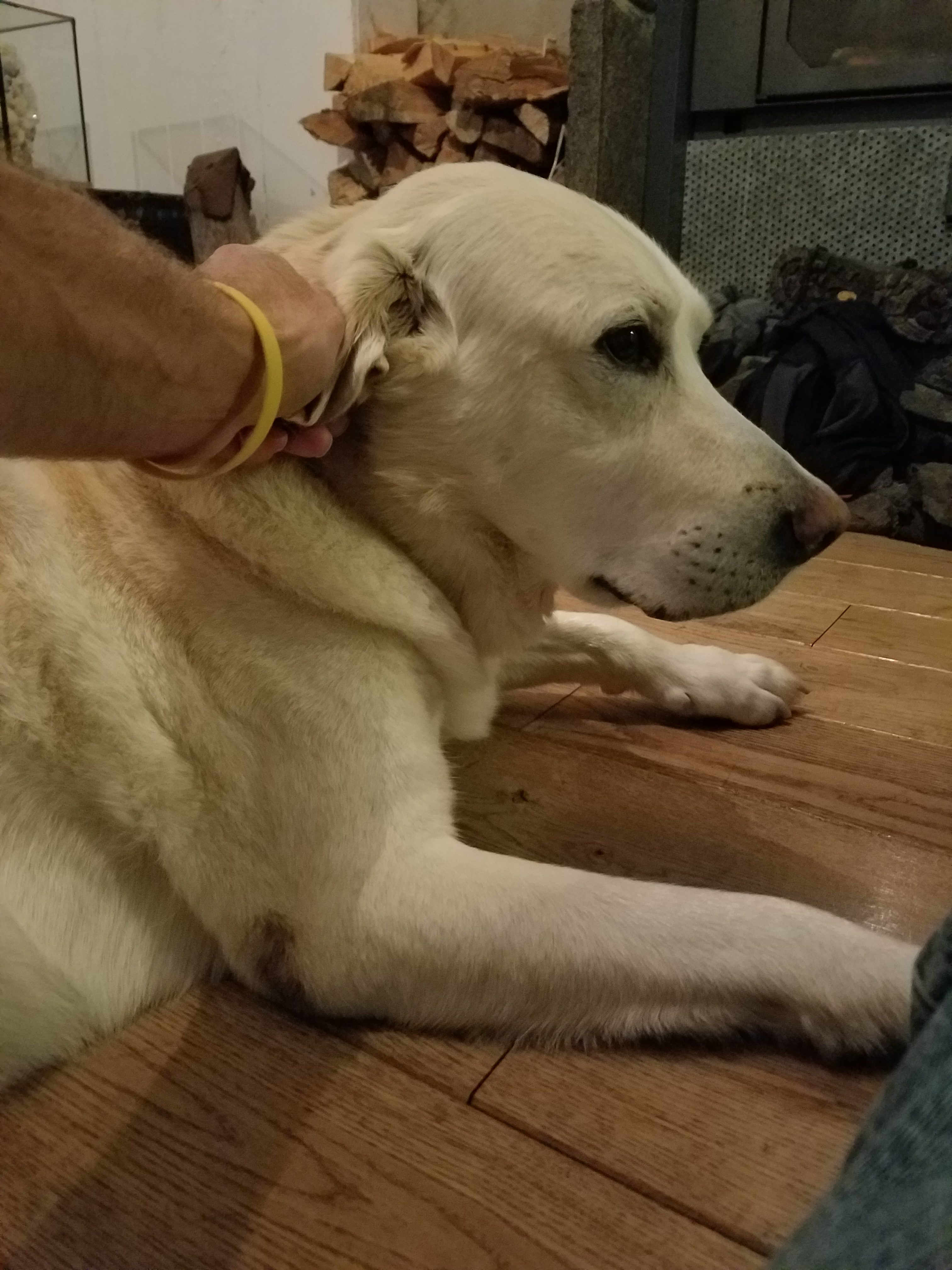
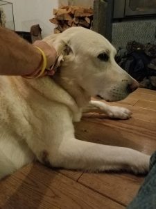
Finally, there are two amazing dogs at Skalanes, Friar (the young pup) and Beartur (the old wise one).

20160702_172814

20160701_214445

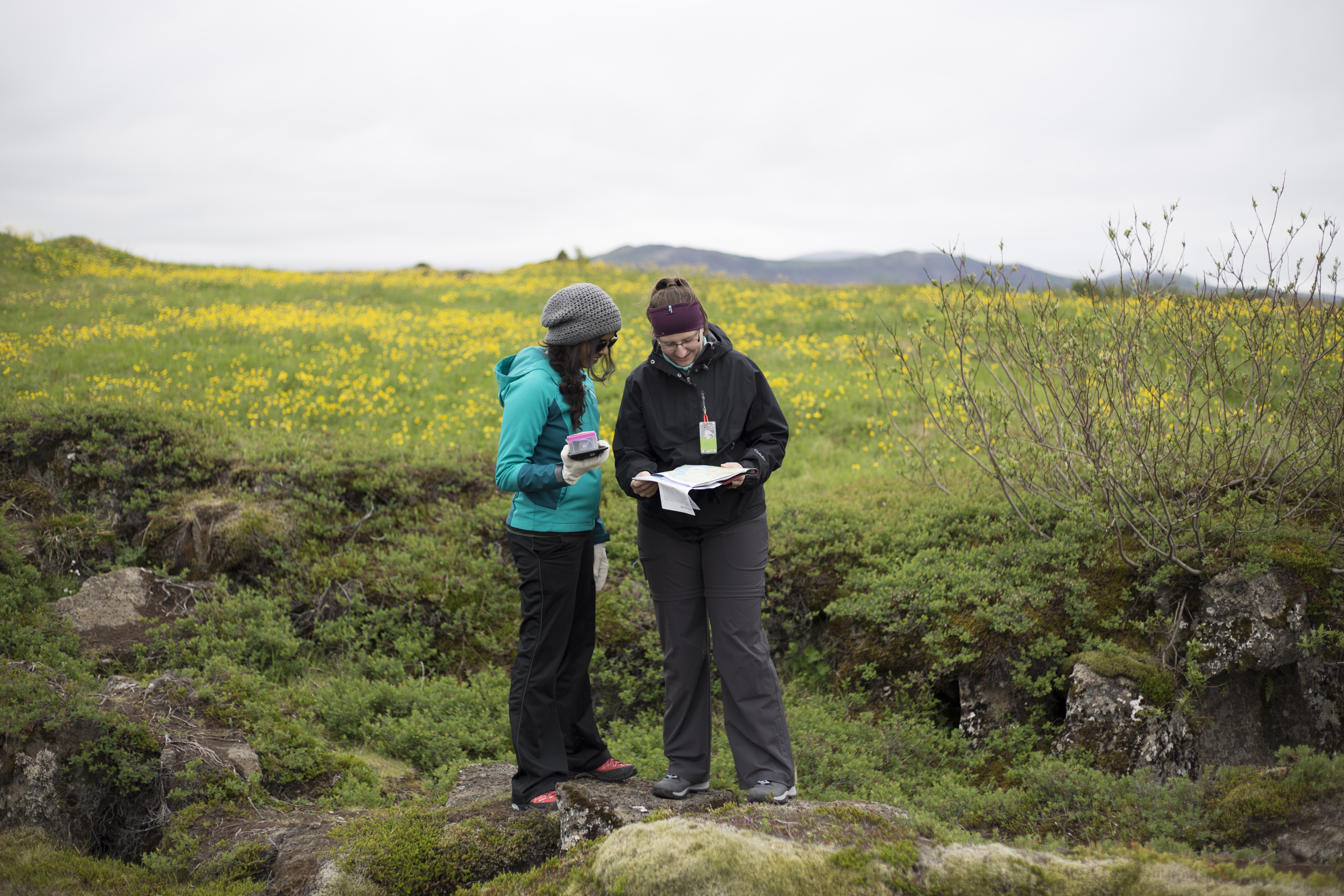
As Deeksha said, doing science here is a literal dream come true.

Our first day in the field

with No Comments

Today was our first day “in the field”. We started with a short visit to the Hellisheidi geothermal power station located just outside of Reykjavik. This is the largest combined power and heat geothermal plant in Iceland and the second largest in the world, 99% of the buildings in Reykjavik are heated by district hot water loop that originates here. The tremendous amount of heat stored in the ground under Iceland makes the energy economy very different here, all forms of fossil fuel are shipped here via barge making them very expensive. On the other hand hot water is plentiful, and electricity made from it inexpensive enough that it’s cost-effective to make hydrogen (many gas stations have hydrogen pumps) and to smelt bauxite into aluminum.

After a quick lunch and some hardware/software work we left for Pingvellir national park and UNESCO World Heritage Site. Pingvellir straddles the mid-Atlantic ridge making it an easy place to take a short leap from the North American plate to the European plate and to explore an important part of Iceland’s history. Iceland has one of the world’s oldest parliaments which was begun at Pingvellir in 930 CE. The park has well maintained trails, informative signage (in Icelandic and English), and many geological and historical features. We took our ambiance platforms and split into two groups each of which recorded a separate track around the park (visualization to follow). One detail worth noting is that it costs 200 ISK to pee (about 1.60 USD) at the visitor’s center but there are nice small lavatories spread around the park which are free.

Tomorrow we head to Heimaey, the largest island in the Vestmannaeyjar archipelago off the south coast.

img_2287 a-img_2248 a-img_2503 a-img_2445 a-img_2382 img_2443

(cp)

Field soil platform

with No Comments

I spent some time yesterday resurrecting the soil humidity & temperature and high temperature water platform that Ivan, Kristin, and I originally made (and re-made) in 2013 and 2014. I was able to find all the parts, re-assembled it, found an Arduino sketch in the Sparkle Share folder, and viola it worked. The wiring and sketch are documented here.

IMAG0446

Back to list management…

Breaking news…

with No Comments

For two weeks I’ve been trying to figure-out how to add the Iceland playlist Kristin created to my Spotify profile. Yesterday, Kristin explicitly shared it with me and that worked, phew. I was afraid we were going to have to cancel the whole project.

On more mundane fronts I’ve been working with Erin on the GIS and maps, with Kristin on Field Day, with Deeksha on the data model/data, with Tara on the NIR and tube turning rigs and Mothur, and with Nic on LiDAR, the UAS, and imagery. All of these are coming along well, we have lots to do but we are steadily moving along together. Go Team.

For Field Day Friday we made a simple lunch of pasta with pesto and then took a short walk around campus collecting data with Field Day/ambiance platform and the Yoctos. The streaming and sample data has been uploaded from the Nexus to Postgres, next week Craig is going to visualize it and start doing verification and validation on it. This is the first time we have had the luxury of working with an “independent lab” on this aspect, in the past developers did this (about as well as you would expect them to).

I setup IceBook (13″ MacBook Air) for Erin to install QGIS on. Slowly we will be migrating all of our software stack (database, analysis tools, visualization, time synchronization, etc) from hopper and other machines to IceBook. Just before we leave on the 22nd we’ll move our Git repository over and viola, we’ll have everything with us. We’ve done this twice before in Iceland and once in Nicaragua and it works really well, being self-contained helps a lot when Internet access is spotty.

Next week will probably look a lot like this past one. On Tuesday morning NIc, Erin and I are going to talk to Patrick about GIS and archeological surveying at Skalanes.

The low point of my day…

with No Comments

As near as I can tell from a quick look at the data collected by Field Day and Grace (our prototype ambiance platform) and the Yocto altimeter (based on the same MPL3115A2 chip that we use) this was the low point of my day yesterday at about 201m:

IMAG0439

I started Field Day and the Yocto around Portland, Indiana and then drove home and walked down to the creek where this picture was taken. The highest point in Indiana is about half-way between Portland and where we live in Boston. The creek bed is the limestone floor of the ocean that covered this part of the US about 350mya. Neither device was calibrated, and we won’t know for sure how the track looks until Craig maps the data, but things are looking good.


In other news Nic has collected data from the LiDAR in the lab as it moved slowly over an object on the floor. We’re collecting theta, distance tuples at set intervals (1cm) along the track, I think we can visualize these as stacked wind roses as a first-order approach to “seeing” what it found. Matplotlib to the rescue!

Our first Field Day Friday

with No Comments

Tara, Kristin, Nic and I took Field Day, Grace (the prototype ambiance platform), and a Yoctopuce altimeter for their first field test today. We biked down to the Starr-Gannett building in the gorge, walked around where they are setting-up for the Richmond Shakespeare Festival, and then had a nice picnic and returned to campus. Craig Earley is working on mapping the first data sets from Field Day/Ambiance, all we have to show for our effort is this great selfie…

IMAG0437

In the zone

with No Comments

Almost all of my free cycles are thinking about Iceland now, my grading is (almost) done and now I can focus a bit more on this. May Term started on Wednesday, we’re spending the mornings working/meeting together in the lab and the afternoons concentrating on our own bits. We submitted three posters to the XSEDE conference, one based on Field Day, one on UAS + LiDAR + DNG and machine learning, and one on Mothur (the software we use to process 16S rRNA sequencer output). Nic and I have a plan for the first round of testing with the UAS, unfortunately using it in the building is difficult because of all the EMI. Kristin is cruising along with Field Day, we are very close to uploaded data to the database (using the new schema) and should be ready to start Field Day Fridays this week. Erin is chugging along on the GIS, she is creating base layers by georeferencing Google Map images for Heimaey, the two glaciers, and Skalanes. Lots of list management and lab sorting this week, this is our chance to align our waterfowl for the run-up to June 23.

Scheming…

with 1 Comment

After a week or so of tinkering we have a new version of the database schema that supports Field Day and the visualization stack. Here is the fancy entity relationship diagram for it:

IMAG0420

Field Day will load trip, site, and sector information from Postgres (config option) and cache them on the tablet. Deeksha is committed to moving the data from Iceland13 & 14 and Nicaragua14 into this new structure.

Our credit card looks like one of Dali’s clocks…

with No Comments

Kristin booked our tickets (yes!), and I ordered high precision barometric pressure sensors (to be used for altimeters), Adafruit Feathers to use as the micro-controllers for the ambiance/orienteering and soil (field and bench) platforms. This model has BLE and a battery charging circuit. I built a simple rig for the NIR sensor and scissor table, this is one of the bench soil platforms.

The next thing I would like to wrestle is reconciling the data stream that comes through the sensors into the database. Given that we’ll be collecting readings from multiple sensor platforms at each spot we need a way to aggregate those. This mirrors what happens with 911 incident data, in that case it’s the call number that binds all the different responses (fire, EMS, etc.) to an incident together.

Lots to do, 58 days to do it in…

1 2 3 4 5 6 7