The year in review

with No Comments

For the first two months of 2020 we planned and worked as though we would be working in Iceland during June; once we realized that the Covid-19 pandemic would prevent that, and much else, we re-organized ourselves and our work in the new normal. This included accommodating people working remotely from a wide range of timezones and reprioritizing tasks based on a new timetable. Whenever possible we tried to make lemonade, for instance we were able to re-organize our data storage structures, something we could not have done without the long timeline available this past year. Here is a summary of the other ground we have covered, future posts will have more details about each of these bits.

Craft research – One of the challenges of doing system integration in this space is the fast pace at which the hardware is evolving. We refined our requirements and resurveyed the market, ultimately deciding to add the Parrott Anafi and the Skydio 2 to our kit. In addition to craft-mounted multi-spectral lens we are also working with a MapIR NIR equipped lightweight camera which we will use as payload on the Anafi.

The Anafi with the MapIR camera payload. Image credit Charlie Peck.

ODM configurations – With time and computational resources we have been able to read and experiment with the ODM options that apply to our analysis workflow, and there are lots of them.

GIS integration – Our workflow now incorporates QGIS, this gives us the ability to use the powerful georeferencing plugin to accurately merge each of the data layers (sensor modes).

Storytelling – For many years we have been taking a fairly ad-hoc and often random approach to getting the word out about our work. We realized that we could now take the time to make a more organized run at storytelling, so a few of us have.

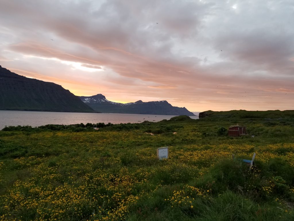
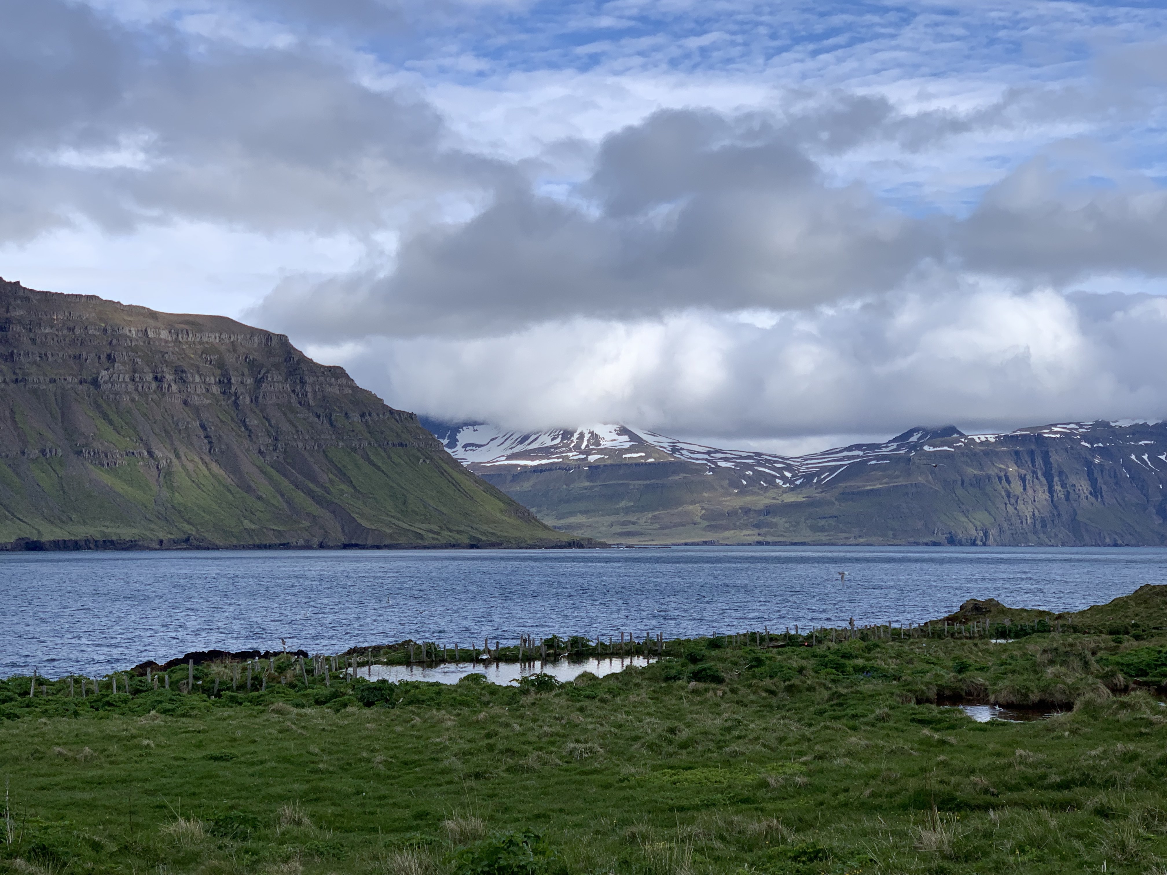
Planning for 2021 – We are now deep into the logistical and science planning for the 2021 field season, as I write this in mid-January we are working with the College and our colleagues in Iceland to plan our time there during June. One of our field sites, the Skalanes Nature Preserve, has experienced a number of mudslides this winter, destroying parts of Seydisfjordur and making travel along the fjord very difficult.

View to the North over the Eider colony at Skalanes. Image credit Charlie Peck.

And we’re off, again, hopefully…

with No Comments

Today is the official re-start of our National Geographic Society supported near-Earth survey work in Iceland (Earlham’s press release). Like many other scientists we have been unable to travel to field sites since the onset of the pandemic, the National Geographic graciously gave us a one year deferral for our grant, and now we are beginning to plan towards working in Iceland this coming June. Our project is based on commonly available UAV technology, our group is designing and building inexpensive, open, software and hardware systems for domain scientists to easily measure a variety of Earth surface parameters. Our first two disciplines are archaeology and sustainability, both of which depend on a variety of sensing modes. A few details about the gear and workflows are below, and in subsequent posts we will describe them in more depth.

Our group is a collection of students, faculty, and professionals primarily based at Earlham College in Richmond, Indiana and at Skalanes, outside of Seydisfjordur, Iceland. Together we cover archaeology, biology, computer science, geography, storytelling, and sustainability. The faculty and professionals are: Emmett Smith, Craig Earley, Rannveig Thorhallsdottir, Olafur Petersun, and Charlie Peck (me). The students we are currently working with are: Dung (Kate) Nguyen, Tamara Blagojevic, Davit Kvartskhava, Pyone Win, and Yujeong Lee. Over the next year you will learn more about all of us as we write posts that describe the specific aspects of the project which we focus on. For the most part we fancy ourselves as generalists, but in reality each of us brings lots of domain knowledge and focus to our work where it is blended into solutions.

Our goal for this cycle is to make it easier and cheaper for archaeologists to locate subterranean points of interest within a known or suspected cultural activity area, and for environmental scientists to quickly survey large areas for e.g. invasive species measurement or erosion. Our approach combines three relatively recent advances in drone, sensor, and machine learning technologies. 

1) Consumer grade drones capable of doing basic field science tasks, at accessible costs. 
2) Significant growth in the types of sensors available, and at low cost. 
3) Powerful, relatively easy to deploy open source machine learning libraries, which can extract deep patterns from large, noisy, multidimensional data sets. 

These three trends can support an approach to subterranean feature detection that is faster, cheaper, and more accessible to a wider range of practitioners than existing methods. Rather than depending on a single very sensitive, often expensive and complicated sensor to detect subterranean features, e.g. satellite or aircraft based LiDAR; our Terrestrial Mapping Platform (TMP) makes it possible to do ground based surveys, in a combination of sensor modes, and then use machine learning algorithms to combine those data sets into a single analysis to detect subterranean anthropogenic features and characterize surface vegetation.

Lunch during a day of soil sampling and aerial surveying at Sólheimajökull, an outlet glacier of the Mýrdalsjökull icecap on the southern coast of Iceland, June 2019. Image credit Porter Libby.

Program finds itself one hour ahead of schedule, one leader feints from shock…

with No Comments

Today was our last day at Skalanes, which is always a bit sad. After spending a wonderful week here doing science, hiking, cooking, and eating together with a group of students from Scotland we are packing-up to head back West for a couple of days in Reykjavik before the program ends on 23 June. Did I mention Fyrir the amazing dog? And Oli and Rannveig the wonderful hosts? We also work with Oli and Rannveig on a couple of science projects related to ecology and archaeology.

Early this morning was a scrum of packing, eating, making lunches, cleaning-up, and saying goodbye. Our travel plan was a trucks to take the gear to the first river, people hiking there, and then a bus to Seyðisfjörðurand and over the Fjarðarheiði mountain pass to the airport in Egilsstaðir. At approximately 10:00 GMT the group found itself completely packed and ready to go, at which point they realized they did not need to leave until 11:00. One of the leaders, who shall remain anonymous, had never been ready ahead of schedule before and feinted from the shock. Hilarity ensued and we Euchre and Carcassonne until it was time to leave.

The trip was uneventful other than the bus trip from RKV airport to the hostel, construction at the hospital has changed the bus route so rather than knowing where to disembark (12 people with baggage and 10 cases of science gear and samples) we were a bit lost. Fortunately a very helpful local explained where we could get off that would be close to our lodgings.

And here are a couple of pictures from Skalanes, which is a place that pictures can hardly do justice to.


Fyrir, local security.


View to the North from the house.

Digging, flying, and a lot of ACTATGCACGTC…

with No Comments

Another day in paradise, and a bunch more science. Our group has a number of on-going projects at Skalanes: aerial surveying (near infrared and visible light imagery) for archaeology and ecology, soil parameter analysis and DNA extraction in different types of habitats for ecology, and DNA extraction and tephra analysis for archaeology. Today the diggers went to the test pit and continued digging, measuring, and preparing to take horizontal soil cores in the pit tomorrow. The flyers continued to survey two large areas (~1 square km each) in both light modes. These flights generate hundreds of images each which are harvested to our laptops and then run through Open Drone Map to create composite images of the entire area. Lastly, Faith Jackobs (EC ’18 and IFS ’18) arrived from Texas to help Em and I with our 16S rRNA and ancient DNA analysis workflows. She and I are working through our ancient DNA analysis of the samples we took at Stod last year to confirm that the analysis was done correctly. This includes measuring the amount and nature of the damage to the fragments as part of establishing their age. Stay tuned for the results.

Insert obligatory picture of the amazing natural world at Skalanes here…

Welcome, and we’re almost gone…

with No Comments

Welcome to Earlham’s 2018 Icelandic Field Studies Epic program blog. Seventeen of us are packing-up to leave campus tonight, three more join us in Iceland. Over the next couple of days we’ll post news of our travels to Iceland, a bit about the people in our group, the science we do, and our daily escapades (complete with pictures!). Stay tuned.


(charliep)

And now available in video…

with No Comments

One of the things that was different about this year’s trip was that two of Earlham’s Marketing folks joined us for four days, two at Skalanes, one at Solheimajokull, and one at Laki (and a lot of time in the van/car/trucks gluing all that together). Susanna Tanner and Mark Brim trudged around in the rain and wind taking pictures, video, interviewing people, eating and traveling with us. We were really happy that they were forced chose to come to Iceland and work with us. This video is the first bit to come from that, more to follow.

Day one on the Solheimajoekull glacier

with No Comments

Today we drove from Reykjavik to the Solheimajoekull glacier on the south coast of Iceland to take soil samples and try-out flying our remote piloted aircraft (AKA drone). Groups of Earlham students & faculty have been working here for a couple of years measuring the shrinking extent of the glacier and taking soil samples on which we do 16S rRNA sequencing to characterize the development of soil microbes as the soil develops after being exposed by the receding glacier.

The red circle on the image is the area we work in, for a sense of scale the circle is about 2km in diameter.

Solheimajokull glacier, we work in the red circle (roughly).

This picture was taken from the ridge on the East side where we were sampling. We are almost always wet and cold when we are working here, but all a person needs to do is look around and take in the amazing view to feel pretty good about being there.

Panorama from the East side.

After finishing we piled back into our vehicles and drove to Vik where we will be staying for the next two days. Emi made a great dinner for us and now we are organizing the samples and data we collected today. Tomorrow we go to Heimaey, an island off the South coast to hike the two volcanoes located there and test our new elevation platform.

Driving, of a sort

with No Comments

This is the first of a couple of short clips from the GoPro dashboard cam that we used in 2016 (we plan to again this year). The wheat-to-chaff ratio is pretty low, but the kernels you do find tend to be gems. In this clip we are driving down to the red sand beach on the West coast of Iceland. It’s near the end of a long day of driving from Akureyri, Nic is at the wheel with “support” from Erin, Deeksha, and the Talking Heads.

Catching-up

with No Comments

In some sense the amount of activity going on is inversely proportional to the posts we’re making here to document it… Here’s a quick summary of what we’ve been working on since my last post:

o LiDAR – We have new unit which is much more capable. We built a test-rig in Hopper to simulate having it on Kia, we’re just starting to collect data. Nic and Kellan are working on the algorithms/workflow to analyze it. Charlie is working on mounting it on Kia.
o Image processing – Kellan and Nic are working on a workflow for extracting features from the images. Charlie built a map (headed to QGIS) with marked known POIs on the Skalanes peninsula to use as part of the training data.
o Glacier forefield sampling – Tara and Charlie are developing a sampling plan and 16S RRNA workflow for processing the soil samples.
o Benchmarks for registering multi-modal data collected by sensors on the RPA.
o Discovered Siggi’s yoghurt.
o Kristin and Charlie are working on Field Day, mostly on the BLE plumbing.
o Checklist App – More news to follow.
o Gail and Charlie have done lots of logistics and planning.
o Emi is working on the avian surveys and the MinION workflow for processing glacier forefield soil samples
o New ambiance platform (single chip) is designed, construction to follow.

More regular updates to follow, we’re all psyched.

Where are we?

with No Comments

I learned this week the breadth of coordinate systems that are used to geolocate a “point” on the surface of the earth. A very nice archeological survey was done of the Skalanes peninsula about 10 years ago (as near as I can tell, it is in Icelandic). The locations of the features they catalog are given in eastings and northings from a point that I have not found documented yet. It appears to be UTM but when you use 28 W, the UTM grid zone for eastern Iceland you get kind-of-sort-of close, say within a couple of Km, but nowhere no exact. The survey team used a differential GPS, if we can obtain a copy of their database we should be able to figure-out how to convert from their coordinate system.

In other news Gail and I have finished making the hostel, ferry, and car reservations. Next up is exploring bulk airfare.

1 2 3 4 5