As near as I can tell from a quick look at the data collected by Field Day and Grace (our prototype ambiance platform) and the Yocto altimeter (based on the same MPL3115A2 chip that we use) this was the low point of my day yesterday at about 201m:
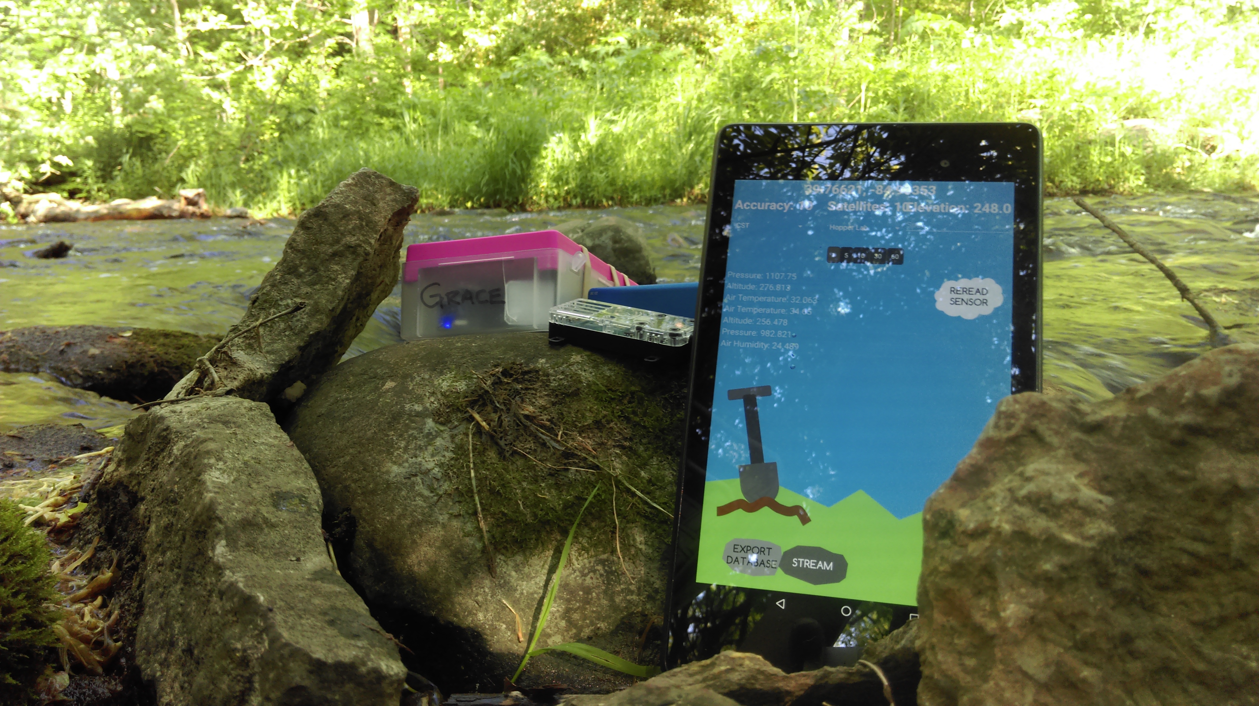
I started Field Day and the Yocto around Portland, Indiana and then drove home and walked down to the creek where this picture was taken. The highest point in Indiana is about half-way between Portland and where we live in Boston. The creek bed is the limestone floor of the ocean that covered this part of the US about 350mya. Neither device was calibrated, and we won’t know for sure how the track looks until Craig maps the data, but things are looking good.
In other news Nic has collected data from the LiDAR in the lab as it moved slowly over an object on the floor. We’re collecting theta, distance tuples at set intervals (1cm) along the track, I think we can visualize these as stacked wind roses as a first-order approach to “seeing” what it found. Matplotlib to the rescue!