A beautiful day at Skalanes

with 1 Comment

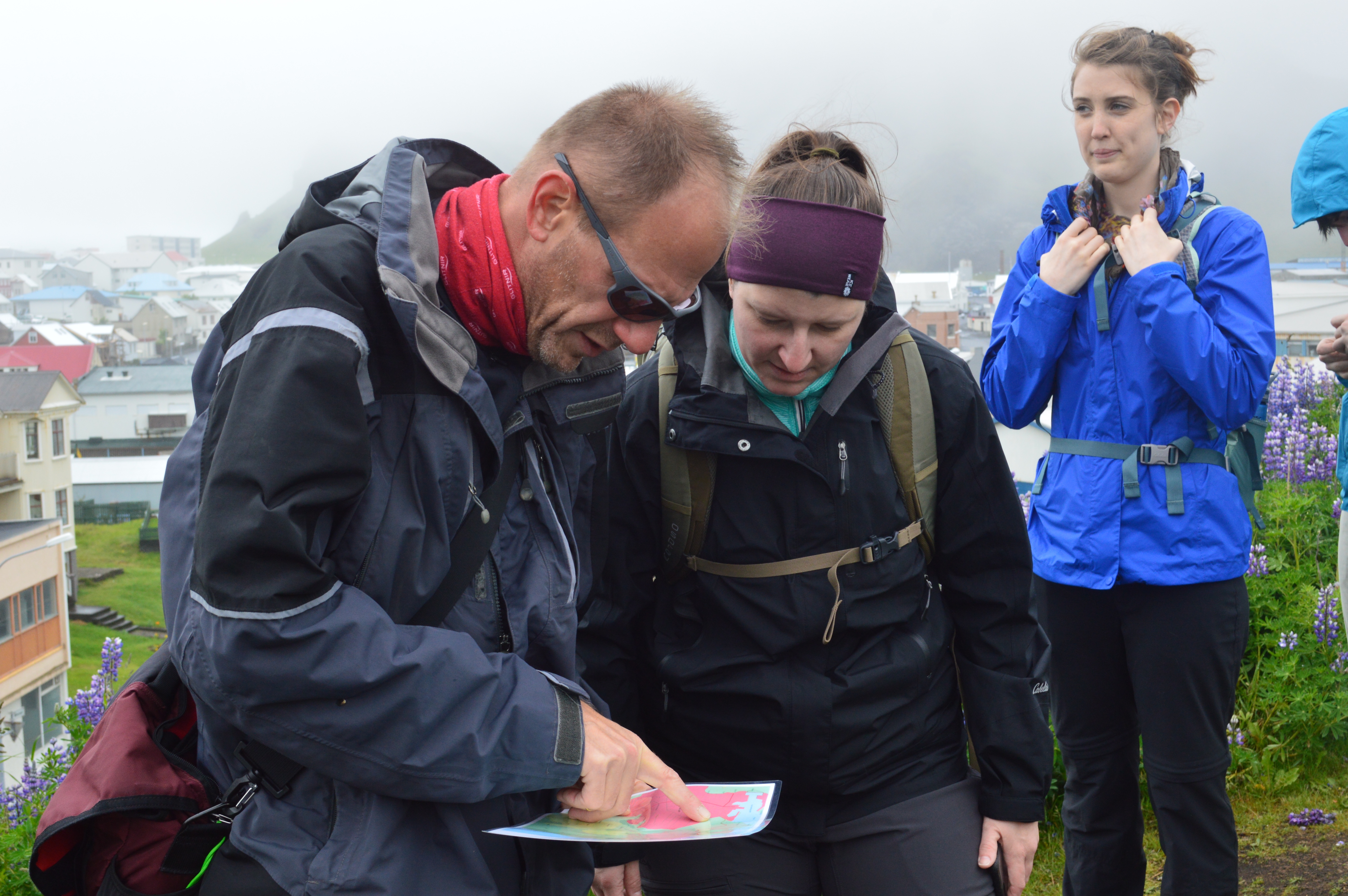
Today was another sunny, beautiful day at Skalanes. We woke up to the sun shining down and just a couple of clouds in the sky. We started the day with breakfast outside on the patio and then we all got to work.

There was a lot that was being worked on today. Erin and Nic were working on flying the drone. Erin was controlling the drone outside while Nic was in the door working on the computer. A Nexus running the Dji application is placed in the drone controller for flying, but the Nexus also needs to be connected to WiFi to communicate with the ground station program on Nic’s computer. Once they stepped outside of the room, the Nexus was losing WiFi access. We found really long micro USB cable so the Nexus could stay inside while the controller was outside with Erin flying blind. The ground station program on Nic’s computer allows the drone to go on autopilot. They were eventually able to get it to go on autopilot for a few minutes which was pretty cool. It was a little freaky yesterday when we told the drone to come home (where it took off from), then Nic decided to land it somewhere else so he tried to take control but the drone wouldn’t release control of itself. Nic was able to make a complete flight plan on the ground station software for the archaeological sites. I’ve posted a couple of pictures of Erin flying the drone and the final flight plan below.

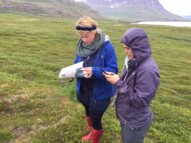
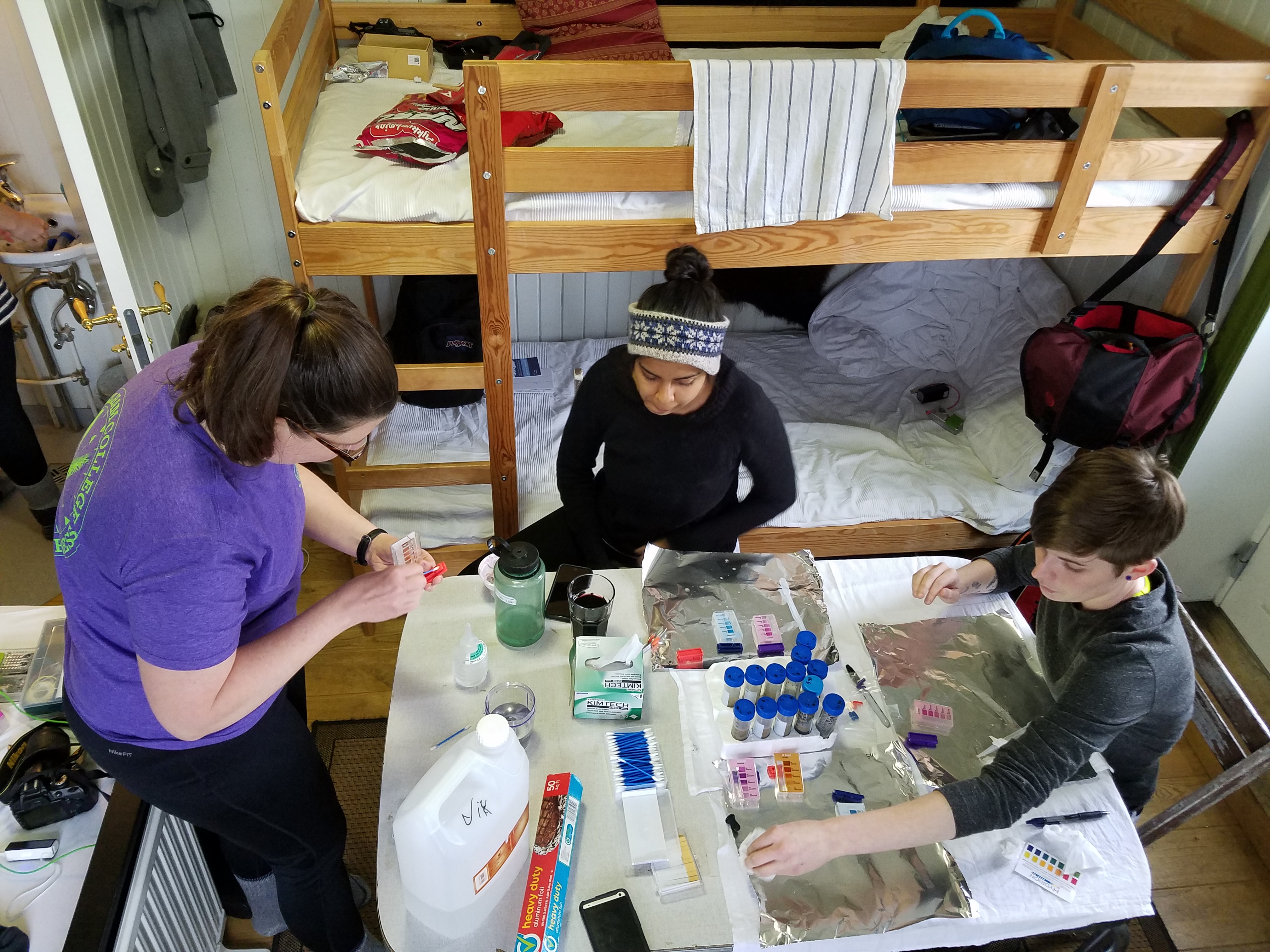
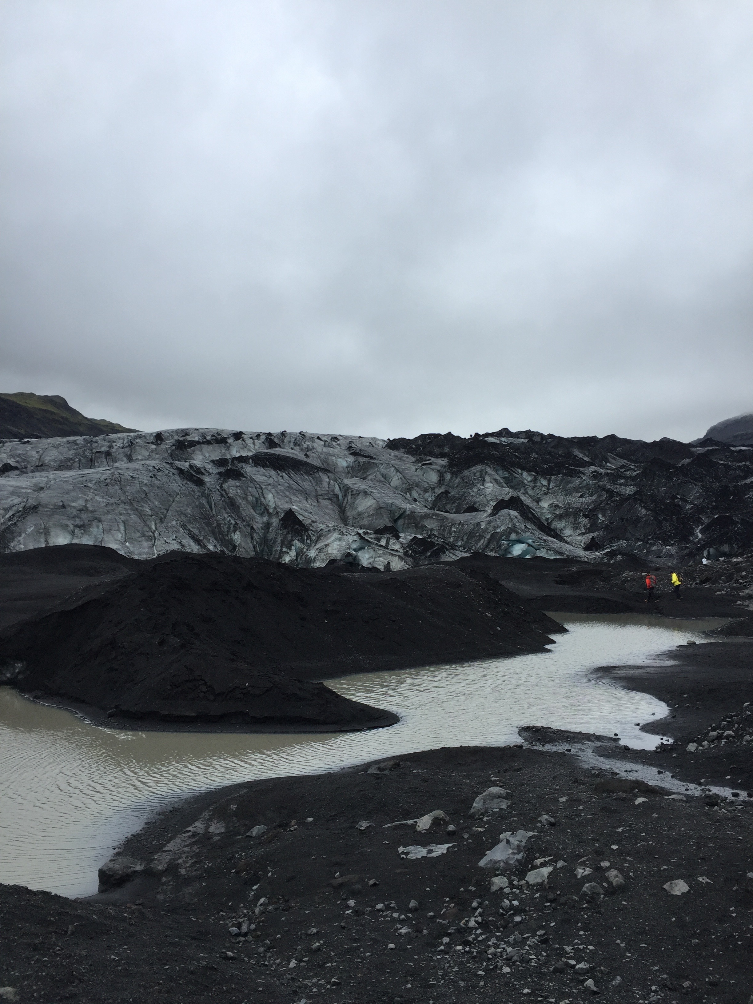
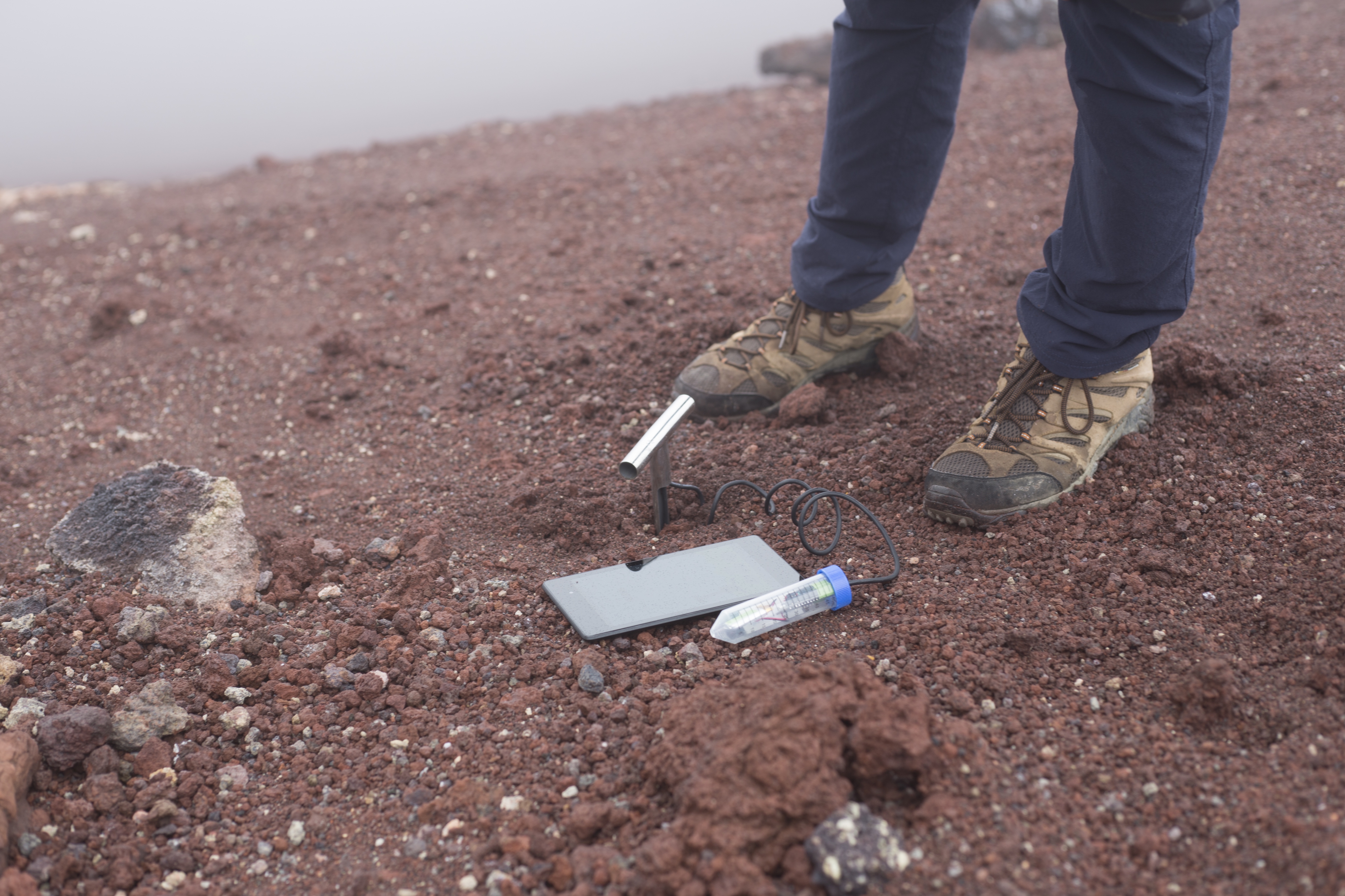
Tara did a lot of work on the soil samples. Instead of putting them in the oven, she took advantage of all the sunshine and had them dry in the sun for the past two days. They need to be dry in order to work with the Nano IR for spectroscopy. Tara sifted soil samples to remove the big rocks and then crushed what was left to make the samples more sandy. The standards that Tara made back in Richmond for the soil samples here were made with sandy soil, which is what much of Iceland is. The 20 samples from the glacier were much harder than the tephra layers from the riverbed. The tephra layers were basically mud that dried so they didn’t need to be sifted, just crushed to make sure they had the consistency of sand. This was all done outside on the deck and it was sunny enough that she got sunburnt! Something to think about next time is bringing a mortar and pestle to crush the soil. She was using some kind of fishing hard plastic thing to crush, which worked out surprisingly well. There were a couple of samples that were too rocky so she took some from the soil bag and let it dry in the sun that day too. Good thing we took more soil than we needed!

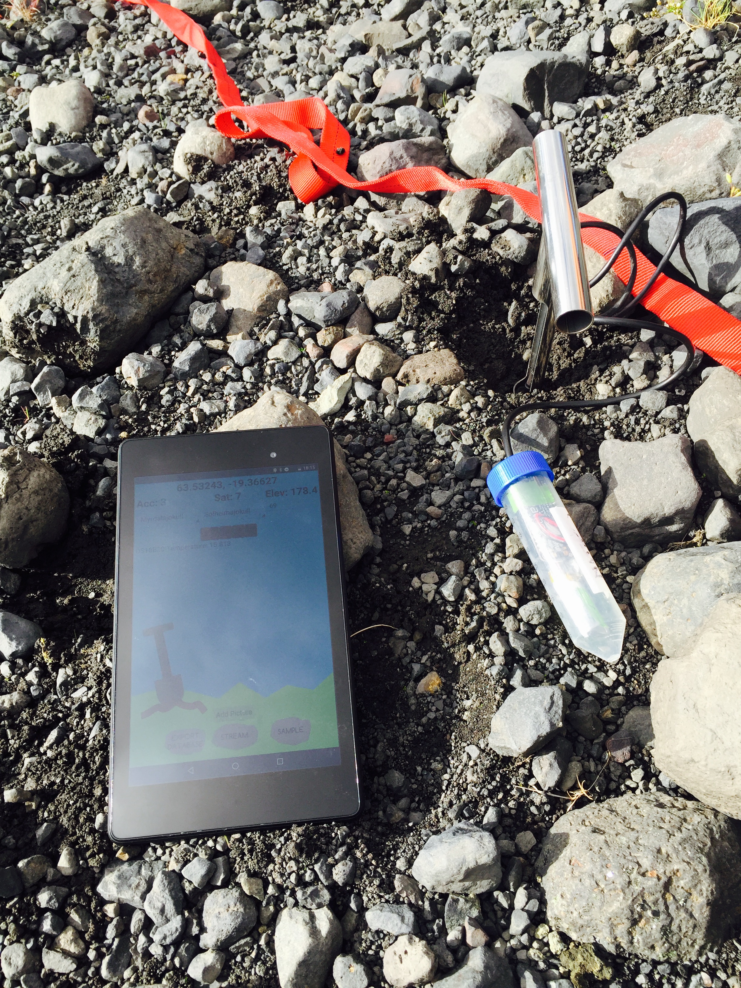
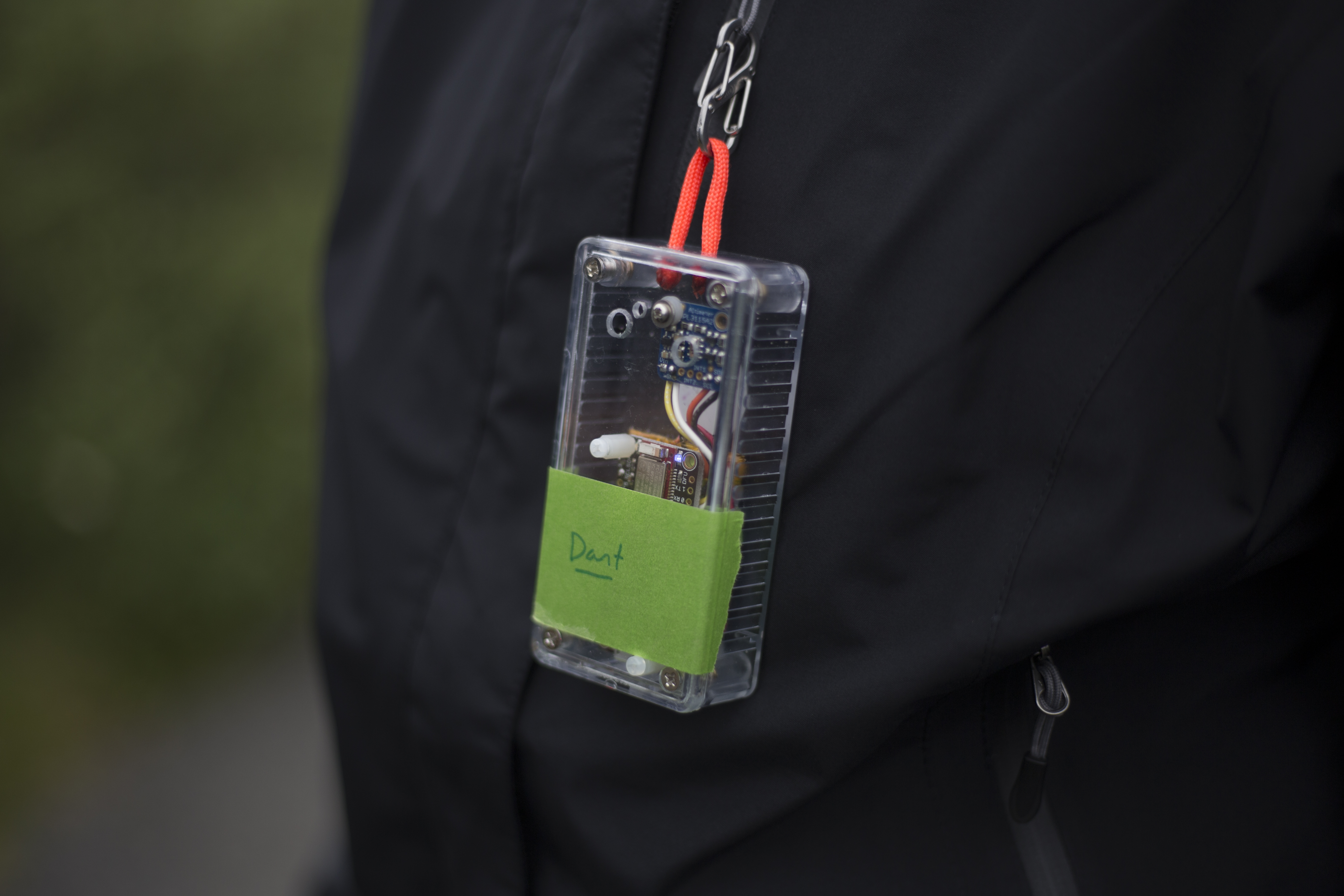
I did some work on Field Day and the Ambiance platforms sketches. We noticed that the altitude on from the sensors on the Ambiance platform was a little off — when we were upstairs in our ‘office’ it was telling us we were -40 below sea level. Charlie made a calibration code for the devices where it takes a known altitude that the user provides through Field Day and makes a correction value that is applied to the altitude taken from the sensors. So if we go down to the sea and give a calibration value of 0 since we’re at sea level, and the sensor is giving us -4, the correction value will be +4. The sensor isn’t really stable enough to give us exactly zero for a reading, but it’s pretty close.

I also did some work on the BLE reliability with Field Day. I left the platform running with Field Day plugged into my computer so I could look at the logs when it eventually stopped. I realized that after a little while the messages to Field Day would eventually get jumbled which caused Field Day to be confused. Field Day was sending messages too often, so it hadn’t finished processing the response before the next response came. This was done using a Handler and Runnable. I changed Field Day to only send another request to the bluetooth device once the response from the previous request had been processed. This has helped a lot. Before Field Day was only getting a hour or so of good reading from the device, but I left it running last night and it went from about 7:30 at night until 2 in the morning. I was really happy with that result. I learned that native Android has known issues with Bluetooth Low Energy and different Bluetooth chips has different issues as well. One thing that stuck out when I was reading was the unreliability with sending and receiving longer messages. The Ambiance sketches send long messages because there are so many sensors on the platform.

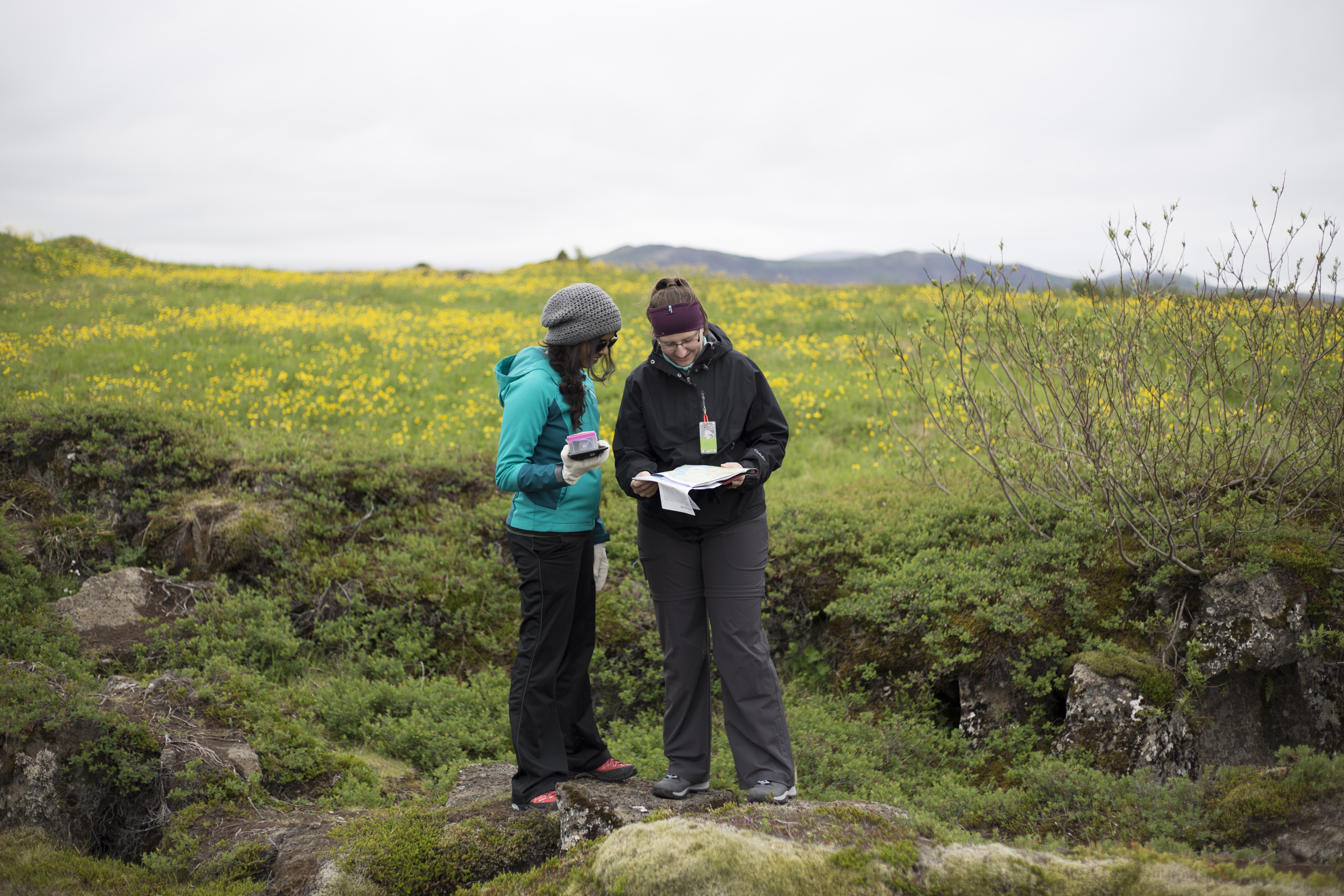
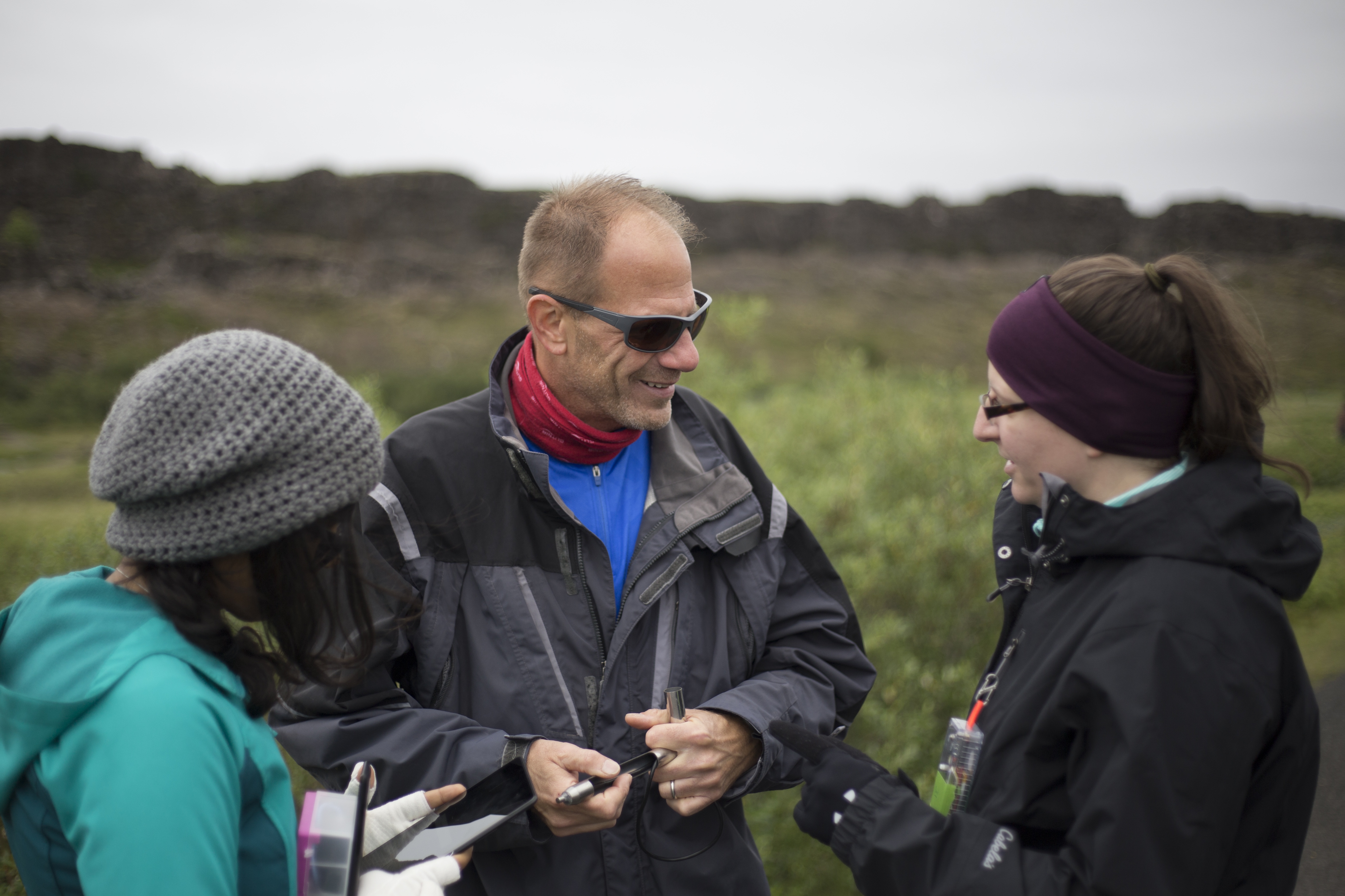
Deeksha worked on the visualization and produced some CSV’s from our trip on Heimaey and the glacier for Erin to put into GIS which was pretty cool. Charlie worked on added the BME280 chip to Dart, one of our ambiance platforms and rewiring Grace to work with the ambiance sketch pin settings. Gail worked on thinking about this trip in terms of wilderness and outdoor education program. She’s been thinking about sample day plans, how long we would need to stay at places, what kinds of topics would be interesting where, and what they would need to bring or have available. Needless to say, it was quite a long and successful day at Skalanes.

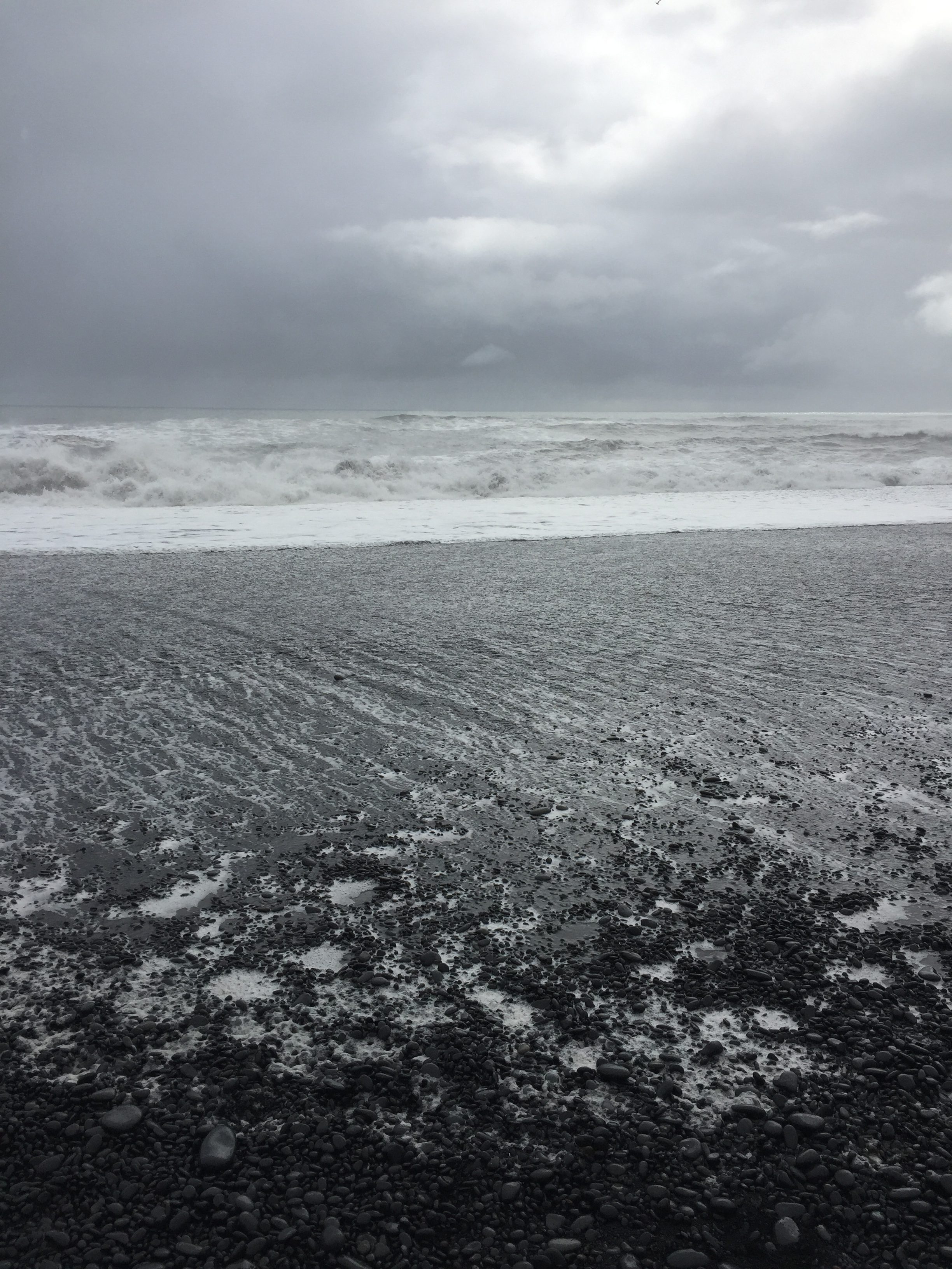
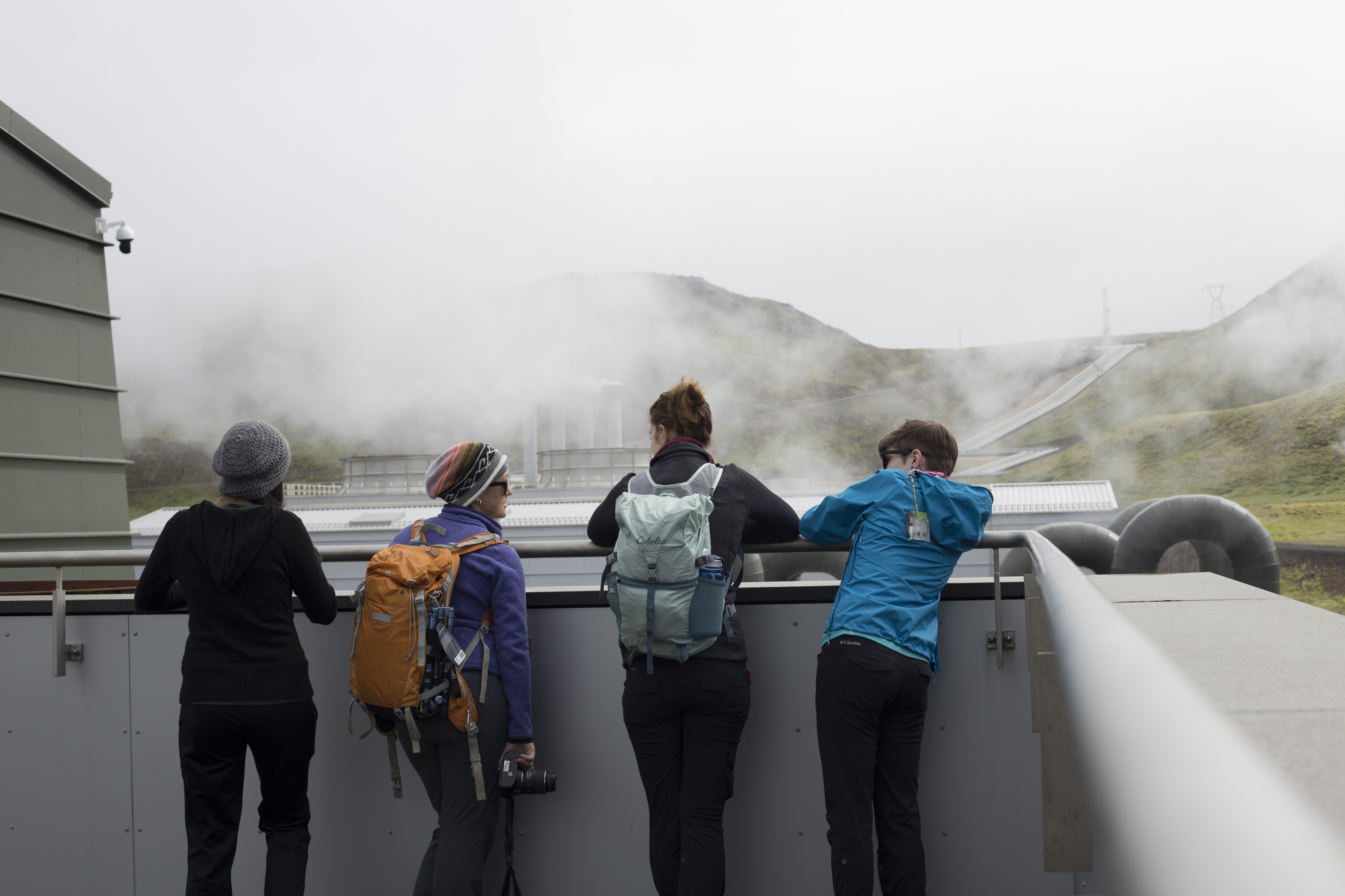
We finished the day with a bonfire at the beach. Our group, Oli, Rannveig and the Glasgow group that’s also staying at Skalanes were there enjoying the sunshine and hard work of the day. Erin and Charlie jumped all the way the water which was ice cold! Gail, Tara and I just stuck our toes in which was enough since the water so cold it hurt!


Blog 7/5/16: Drones, LiDAR, dirt

with No Comments

This is now our 5th day at Skalanes and were are all feeling rather settled in and have our workflows… er… flowing. We were awoken to a bit of surprise today, the tent was actually warm! This is the first day of being in Iceland where a jacket wasnt necessary without having to hike a volcano. With hardly a cloud in the sky the weather was perfect for taking arial images with the UAVs. Oli, Rannveig, and Bjarki took some of out (at different times) to explain the archeological dig sites and what areas would be helpful to have high resolution mappings of the area. I did an initial fly over survey of the known archaeological site. Later is post processing I started to look into tweaking the photos to highlight ground structures, cancel out water reflections, etc. Its all looking promising. Unfortunately, its so bright that the sun would mess with the LiDAR’s receiver and so I will have to wait for the sun to “set” before going out. This will probably be around midnight. Tara continues to work with the soil samples taken and devising ways to process the soil.

A Quiet Working 4th of July

with No Comments

It was great to have yesterday off to rest and also prepare for the start of the week. We seem to lose track of the days here, but I count that as one of the pros of this amazing “classroom” in which we are studying and working together. We have worked into the “roto” of chores around the lodge with the group from the University of Glasgow in Scotland. The time spent doing simple daily tasks  has been a great way to get to know each other and to learn more about each others’ research. They are also blogging about their time in Iceland.

We made a punch list of things we would like to accomplish over the next week. Today’s priorities included taking soil samples from the gardens at Skalanes, working on lidar and the drone systems, adapting the new data model into the vis, fine-tuning Field Day, and working with Rannveig to learn about the locations of known archaelogical sites on the Skalanes property.

It is a little strange to be abroad on the U.S. Independence Day. There are no fireworks, no special holiday gatherings, and no long weekend. The only red, white and blue in sight is the Icelandic flag. Nonetheless, we celebrate our freedom to be able to travel to such a magnificent country to learn and work together.

IMG_9124-1
Rannveig and Erin check the Skalanes map for archaeological sites.


Rannveig shows Erin a recent dig, believed to be the wall of a house.


File_000
The only red, white and blue in sight.


Day one at Skalanes

with No Comments

We arrived at Skalanes late in the day yesterday and settled-in for the next week, it will be nice not to be moving every other day or so. There is a group of students from Scotland working here this summer so we’ll be sharing the chores with them and helping each other where our projects overlap. Skalanes is an experimental nature and heritage field center at the end of a peninsula on the East coast of Iceland. You can drive to within about 3km of it on a gravel road that heads east out of Seyðisfjörður, from there you hike the rest of the way, including crossing a couple of amazing rivers.

20160701_160043_001

Skalanes sits near the shore of one of Iceland’s many fjords, and while we are here to work on a variety of projects it’s hard not to look-up now and again and relish the view.

skalanes-panorama

We have two spaces to use here when we are not outside collecting samples, etc., our sleeping tent and our “office” where we do the indoor science work and programming.

20160702_171041 20160702_164600

In the picture above Gail, Deeksha, and Kristin are performing the NPK and pH tests on the soil samples we collected in the forefield of the Solheimajokull extent of the Myrdalsjokull glacier last Thursday. 

While we’re here we plan to work on a number of projects: improving the field/bench sampling functions of Field Day (our Android app), flying the UAVs over the archeological sites to capture close-in DNG images, performing small-scale LiDAR and magnetometer surveys on the archeological sites, testing the garden soil, measuring the flow rate of a river with an eye towards hydro power, and integrating all of the data we collect into QGIS.

Finally, there are two amazing dogs at Skalanes, Friar (the young pup) and Beartur (the old wise one).

20160702_172814

20160701_214445

As Deeksha said, doing science here is a literal dream come true.

Errybody in the house shakin’ dirt

with 1 Comment

On June 28th we visited a small finger of Mýrdalsjökull (“mire valley glacier”) called Solheimajokull. Our goal was to stream accurate elevation data from our ambiance platforms in order to approximate the extent of the glacial finger. If our data comes out as we hope, we can combine it with existing datasets to approximate the volume of Solheimajokull. We were able to walk reasonably far up the glacier as well as to each edge, so we are hopeful that the volume calculation will be possible.


IMG_1700
Approaching Solheimajokull through the runoff from the glacial recession


On Wednesday June 29th our group bifurcated for the day to take care of two separate tasks. One group returned to Solheimajokull to take soil samples in the glacial forefield and the other stayed at the airbnb to work on platform reliability at data visualization.

The forefield represents a chronosequence in which the soil has developed as the glacier recedes. Our goal is to observe how soil composition varies with age. While sampling, we observed changes in the smell and texture of the soil as well as increasing plant growth as we got farther from the glacier. In the evening we separated out rocks from the soil and carried out NPK (nitrogen, potassium, and phosphorous) testing on the first few samples. In other words, we sat around our kitchen table and shook dirt in tubes for a few hours. In the next few days we will test the remainder of the soil samples as well as characterize the carbon concentration in the soil using NIR spectroscopy.


IMG_1746
Using our temperature probe ‘Calvin’ in the glacial forefield


On the 30th we traveled east, making two notable stops. The first was at Grafarkirkja, a river at which the tephra layers created by volcanic eruptions are visible. We took samples from the six topmost layers. Our goal is to identify the eruption of Laki based on the unique chemical signature of its ash. The ash produced in the eruption of Laki had unusually high levels of fluorine. With this information we should be able to distinguish Laki’s tephra layer from the other layers.

Our second stop was at the picturesque ‘Glacier Lagoon’, which is fed by Iceland’s largest glacier Vatnajökull. Large chunks of ice can be seen floating in the water. Charlie observed that there are fewer ice chunks than in 2014 and that the heavy recession of Vatnajökull is apparent across the lagoon.


IMG_1765
Glacier Lagoon


Today we arrived at Skálanes and have begun setting up our gear for carrying out soil analysis. At Skálanes we will conduct surveys of the nearby archeological site using our UAV and LiDAR platform. We are also interested in surveying local bird and fox populations using the UAV. All of the geocoded images and data we record will contribute to our goal of orienting our results using QGIS. We will also take soil samples from the gardens here to determine the its composition.

Blog 6/28/16

with No Comments

Today we started our ascent of Helgafell at 8am. The hike up was much quicker than Eldfell and the weather was clear so we had an amazing view at the top. We recorded GPS data starting at sea level all the way to the top of the peak. After hiking Helgafell we stopped in the town and had a quick lunch at a restaurant called Gött. Several of us tried the fish of the day, and at the risk of fulfilling every travel stereotype, a food picture is attached.

After our meal we caught the ferry to the mainland. We reunited with our vehicle and then embarked on a one and a half hour car ride through Vík to our Airbnb in Kirkjubæjarklaustur. We stopped at the Black Sand Beach near Vík and treated ourselves to coffee at Svarta Fjaran before going down to the water. Instead of sand the beach was covered in darks stones smoothed to perfection by years of weathering. The beach also has a unique basalt formation called columnar basalt, which is caused by lava cracking as it cools. A few of us took an unplanned wade in the seawater when the tide rushed in unexpectedly. Luckily we were only meters from fresh socks.

We are preparing to sample on the Glacier tomorrow afternoon. In the morning we will journey to downtown to procure distilled water for our soil protocols as well as groceries.


IMG_1676
Black Sand Beach was beautiful and overcast.
FullSizeRender
Delicious ´fish of the day´

Blog 6/26/16

with 2 Comments

Today we woke up early in order to catch a 9:45am ferry to the island of Heimaey.  Fortunately no one got sea sick, granted the ride was only a half an hour in fairly calm waters. Upon arrival we headed to our Airbnb for the night, which is a beautiful house just a few blocks from the harbor. Our hosts were incredibly nice and told us about the local pub and where there are interesting places on the island. Rain and clouds engulfed us all morning so we waited for it to clear up a little. After lunch we geared up and headed to the harbor to start streaming. The clouds hung low over the mountains creating an peaceful atmosphere over the fishing boats. We started streaming a meter above the water and walked from there up the the lava fields. The rocks were covered in moss with lupin stealing space in every crack. We could see where houses use to be before the 1973 eruption of Eldfell. We knew a lot about the eruption from the book Island on Fire which made the hike much more interesting. The hike included some walking along the road and then a steep ascent up the volcano. As we started walking up the wind picked up and blew rain into our faces. The summit was a scree trail which made hiking a bit more difficult. We took altitude, temperature and GPS coordinates at the top and then took our soil samples. We all stuck our hands into the soil on the side of the crater, enjoying the warmth. We took some time on the way down looking at the different rocks. There were red, black, orange, brown and yellow, all of varying textures. We walked back to the harbor to finish streaming and the headed back to our house for the night. We went to the pub our hosts suggested called 900 Grillhús. Here we enjoyed fresh seafood, fish, pizza and burgers which watching some soccer. Our day has finished with some data uploading, tech support and relaxing.

Our Airbnb on Heimaey.
A view of the city.
A view of the city.

Lupin & Heimaey

Charlie and Gail reading our map (with Tara in the background).
Climbing of the side of Eldfell.
Taking samples at on the rim o.f Eldfell
Taking samples at on the rim of Eldfell.

Taking soil samples on Eldfell.

Our first day in the field

with No Comments

Today was our first day “in the field”. We started with a short visit to the Hellisheidi geothermal power station located just outside of Reykjavik. This is the largest combined power and heat geothermal plant in Iceland and the second largest in the world, 99% of the buildings in Reykjavik are heated by district hot water loop that originates here. The tremendous amount of heat stored in the ground under Iceland makes the energy economy very different here, all forms of fossil fuel are shipped here via barge making them very expensive. On the other hand hot water is plentiful, and electricity made from it inexpensive enough that it’s cost-effective to make hydrogen (many gas stations have hydrogen pumps) and to smelt bauxite into aluminum.

After a quick lunch and some hardware/software work we left for Pingvellir national park and UNESCO World Heritage Site. Pingvellir straddles the mid-Atlantic ridge making it an easy place to take a short leap from the North American plate to the European plate and to explore an important part of Iceland’s history. Iceland has one of the world’s oldest parliaments which was begun at Pingvellir in 930 CE. The park has well maintained trails, informative signage (in Icelandic and English), and many geological and historical features. We took our ambiance platforms and split into two groups each of which recorded a separate track around the park (visualization to follow). One detail worth noting is that it costs 200 ISK to pee (about 1.60 USD) at the visitor’s center but there are nice small lavatories spread around the park which are free.

Tomorrow we head to Heimaey, the largest island in the Vestmannaeyjar archipelago off the south coast.

img_2287 a-img_2248 a-img_2503 a-img_2445 a-img_2382 img_2443

(cp)

Daily Blog 6/24/2016

with No Comments

Powered almost exclusively by La Mex and Gulzar’s the EC contingent embarked on the Icelandic Field Studies trip today! (6/24/2016) We left a spectacularly stormy Indiana to fly to JFK where a subsection of the group spent a couple of hours in NYC looking for a 7.2 volt 1800 miliamp battery. (We finally found one at Tinkersphere) Following a mandatory airline shuffle and confusion period, we were finally on our way! We learned that when an airport is the size of the familiar Dayton airport but handles multiple international flights, bad things happen with luggage times. About an hour and a half of waiting around later(without water fountains, we strangely couldn’t find any), we found and counted our 12 TSA inspected bags and were off! Some of us met Lupin for the first time on our way to Bonus, and all of us ooh’ed and aah’ed at the giant hot water pipes. We were able to get all the topographic maps we needed at IÐNÚ The rest of the day was pretty low-key as the group rested and got used to the 12am brightness.

That’s all for today but more tomorrow! We will be at Pingvellir and the Hellisheidi Geothermal plant tomorrow.