Ambiance and a Feather

with No Comments

So, it’s been a little while since my last post. Here’s a quick update. I assembled our ambiance platform using the Adafruit feather and two sensors: Altimeter and Temperature, Humidity and Pressure. The Adafruit feather is a tiny BLE capable micro controller (like a Light Blue Bean). We decided to go with the feather because the BLE chip it uses is Nordic, like the Red Bear Labs BLE Shield. With the Nordic chip we can make our own services with UUIDs. The Bean has a built-in set of UUIDs and communicates differently than the Nordic chip.

The platform sensors currently use two different communication protocols: I2C and SPI, but we decided that probably wasn’t going to be a problem. I was able to solder on the sensors to a prototyping board and upload a sketch. I tested without the BLE first time to make sure it was working. It was, thanks to sample code from Adafruit! Adafruit has a different BLE library but it’s all the same principal. I tested the BLE code with Field Day and all works well. A picture of the ambiance platform is below.
Brief Update

with No Comments

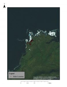
Map1EiderSo there are definitely some challenges in terms of the GIS stuff. I decided to bring all the layers into ArcGIS to see if I could do more with fixing projections in a platform I already know. It gave me the same result so then I brought a base map in which showed me that I think it is the JPEG of the Skalanes area that has the projection issues not some of the other layers (some still are nowhere). When I went to create a base map layer of that area it wasn’t really working therefore I set up a meeting with Jose and will hopefully most some more updates after that meeting.

I have also started to look at good articles regarding sense of place and other wilderness related things that would help everyone to better understand that program and in order to work things like that into this program.

Scheming…

with 1 Comment

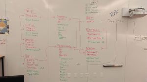
After a week or so of tinkering we have a new version of the database schema that supports Field Day and the visualization stack. Here is the fancy entity relationship diagram for it:

IMAG0420

Field Day will load trip, site, and sector information from Postgres (config option) and cache them on the tablet. Deeksha is committed to moving the data from Iceland13 & 14 and Nicaragua14 into this new structure.

1 2 3