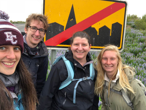
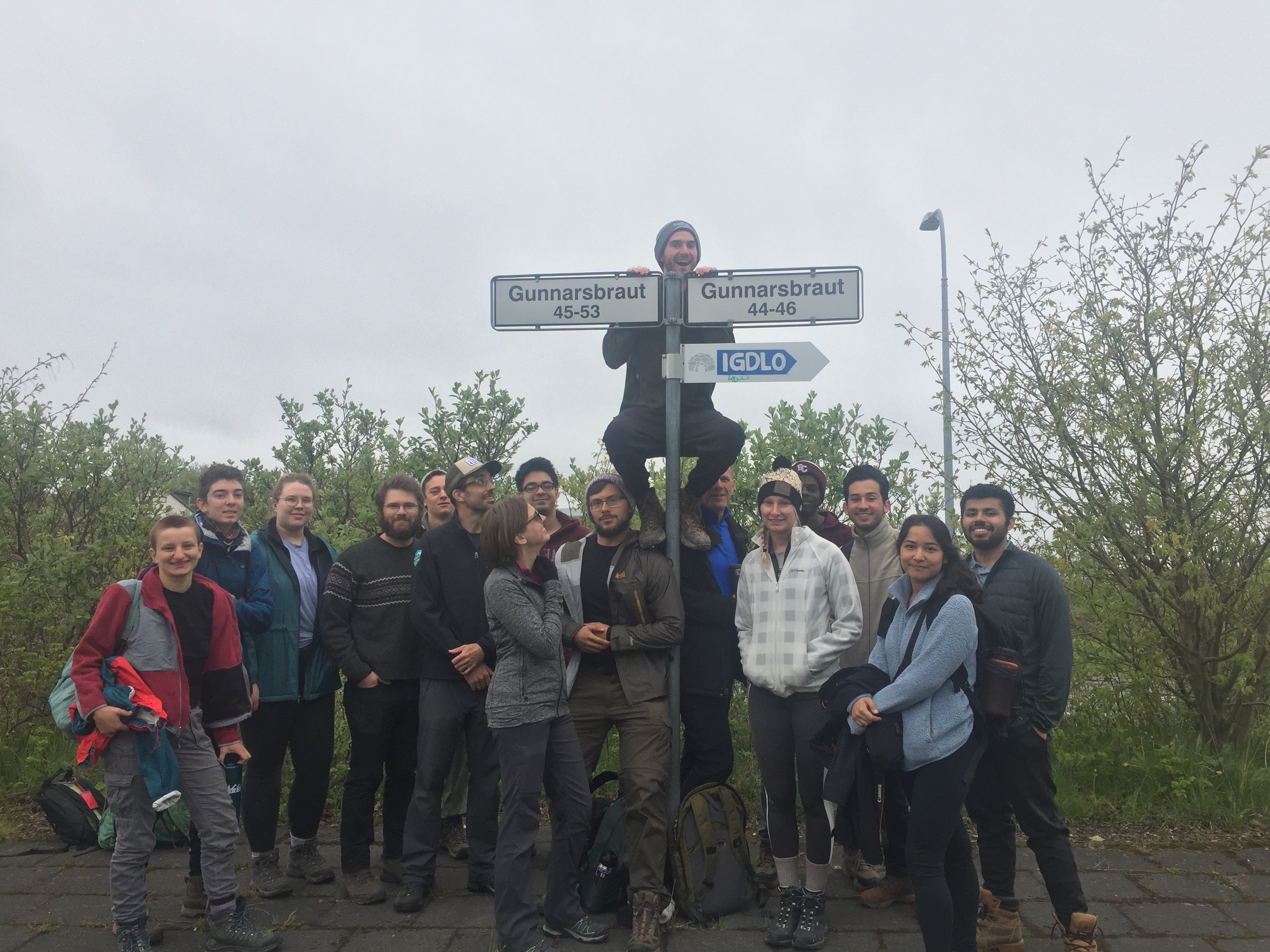
The Iceland trip is officially in progress! I should probably introduce myself (and everyone else) before I continue on, I’m Kathryn Hulleman and I am a biochemistry junior.
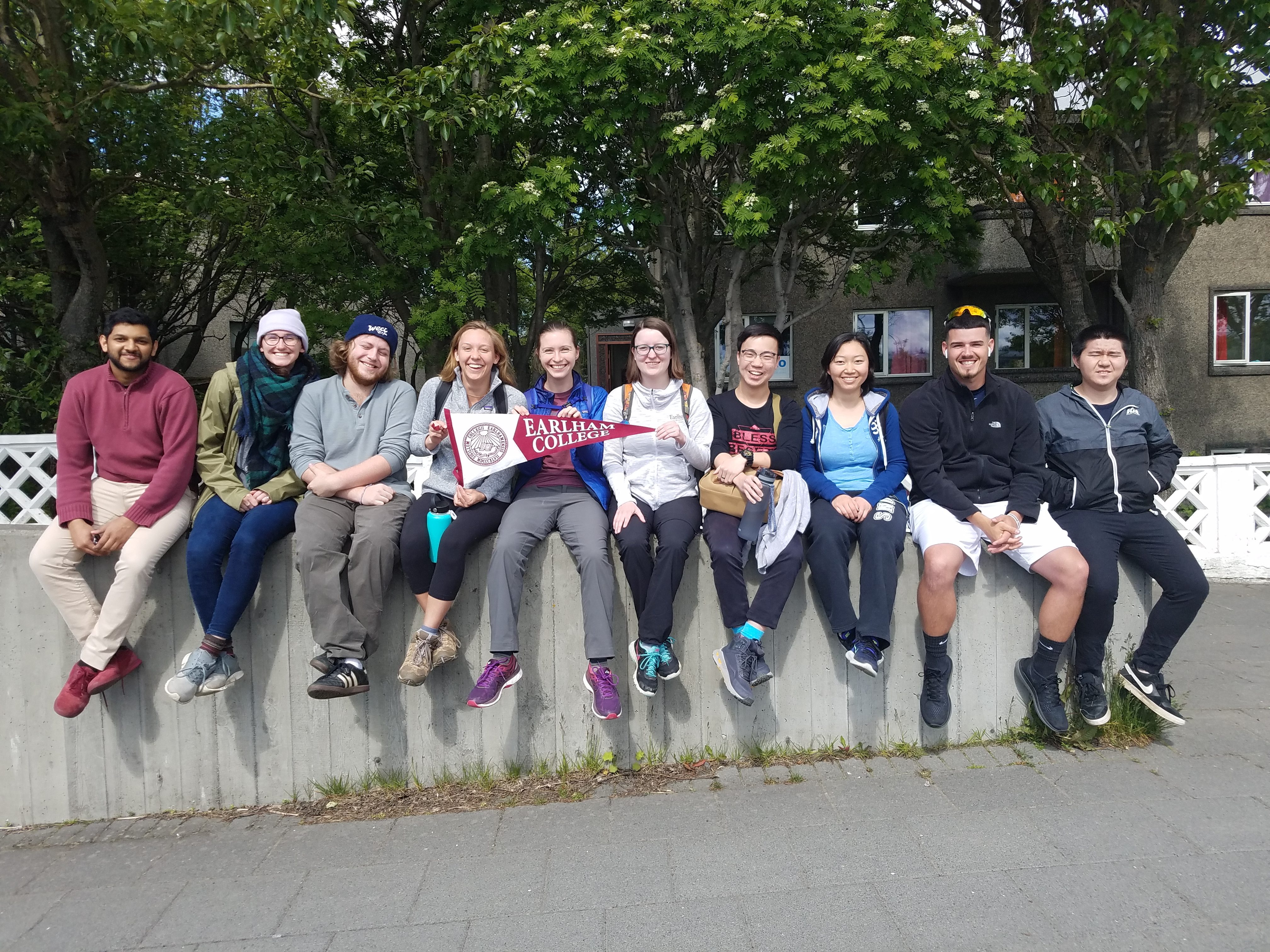
This is all of us students on the trip, and from right to left: Li, Jordan, Joyce, Roger, Lilli, Kathryn (me), Sydney, Porter, Kaela, and Mubi.
Today was a long day (or two depending on how you count). Fortunately for us, all of the flights went smoothly (no missed flights, delays or people). We passed the time in the Minneapolis airport by playing codenames. On the way into Reykjavik, there was interesting statue. That is wait for it… An egg with a jet hatching out of it.
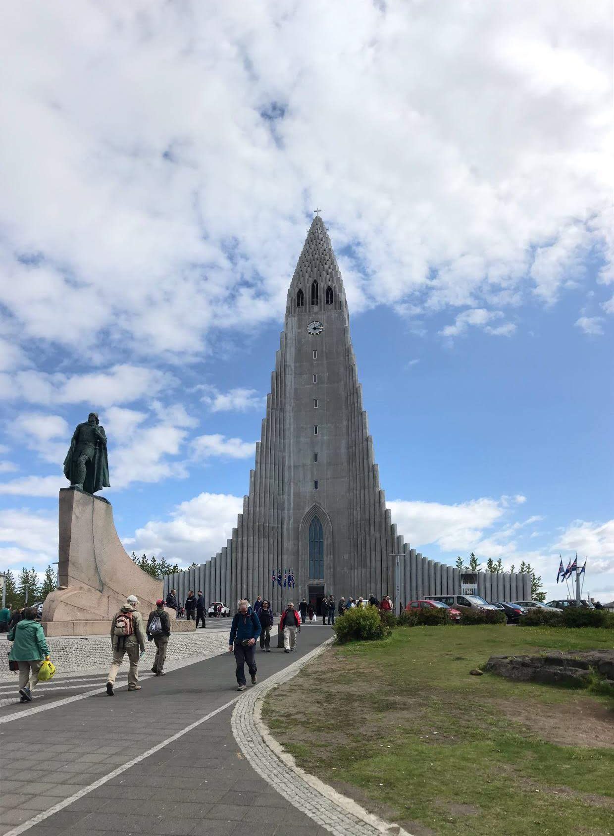
Luckily for us, the weather was beautiful when we arrived in Iceland— nice and sunny, no rain, and a minimal breeze. To start off the trip, E and C (plus me) went out shopping for food while everyone else took a nice, needed nap. After lunch, which was sandwiches with smoked lamb and some Swiss cheese, and with full bellies, we started out on adventure to the downtown area lead by Em. Em’s tip for not getting lost in Reykjavik is to know how to get home from the concrete church, because it is visible in from most of the downtown area.
Some highlights from our walk around Reykjavik included:
- We saw a beautiful black cat named Kisa who was very soft and friendly.
- There was a flight show going on to celebrate a 100 years of flight in Iceland. I saw many planes doing tricks out on the harbor (one even did two or three loop-d-loops in a row
- Seeing the Icelandic version of the Sydney opera house (as Kaela pointed out). It is a concert hall over the harbor meant to imitate the look of basalt columns.
- We went into the flea market and then hanging out in the parliament park to enjoy the Iceland air.
Charlie and Jordan cooked a delicious meal of baked cod with leaks, mashed potatoes and a salad. And now for the photos!

This is the beautiful cat Kisa who graced our presence this morning!

Here is Sydney (with Porter and Mubi in the background) on the street of downtown Reykjavik. As you can see the sun is out and there is almost no wind! This nice of weather probably won’t happen again on the trip, but one can hope!
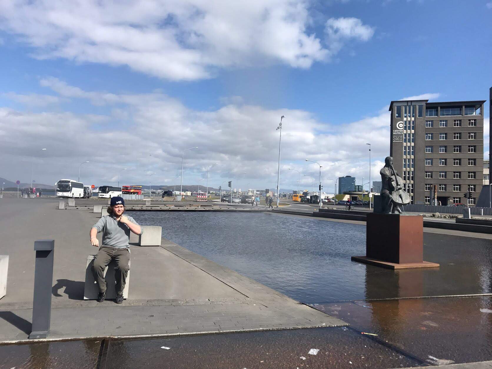
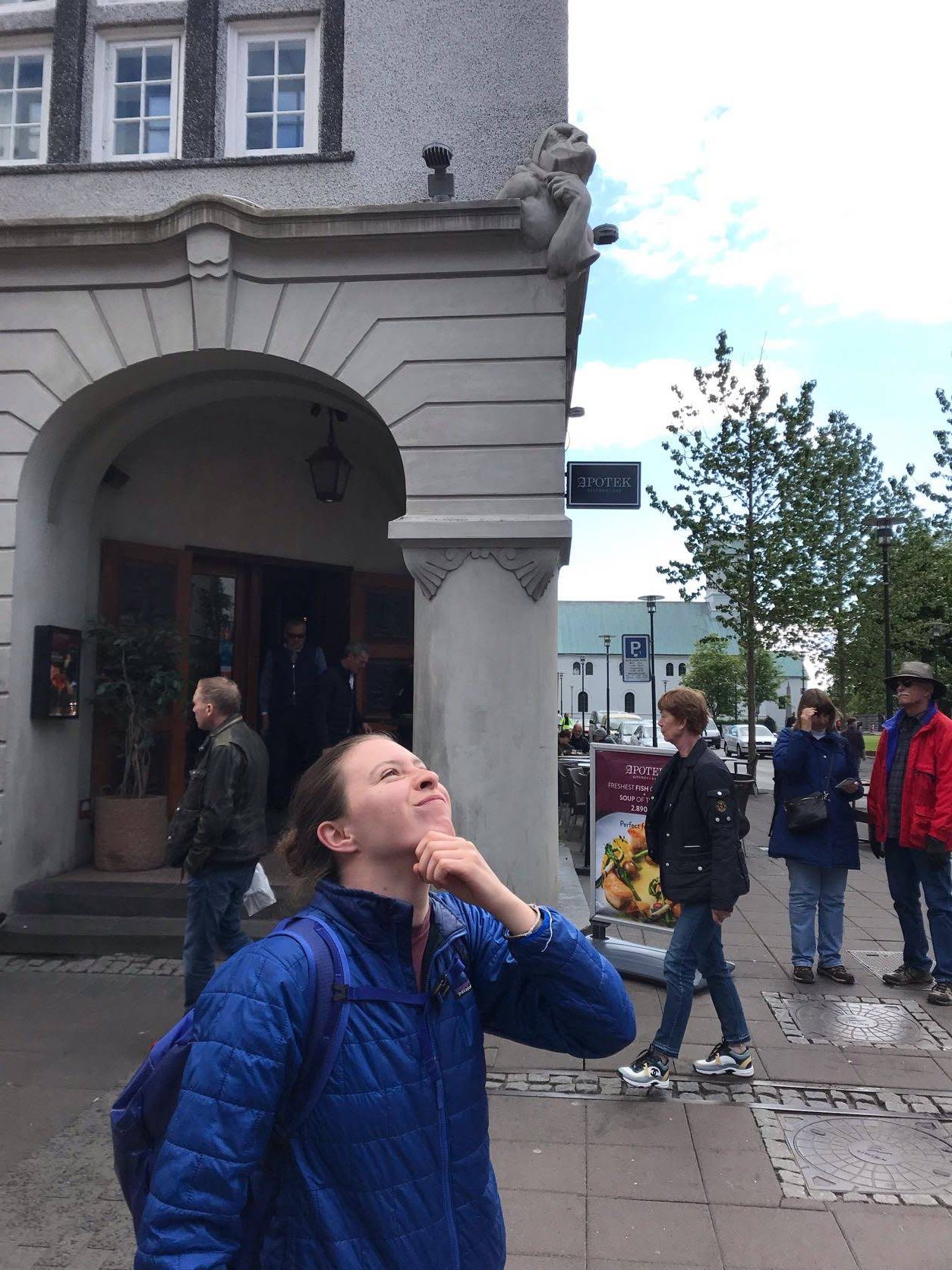
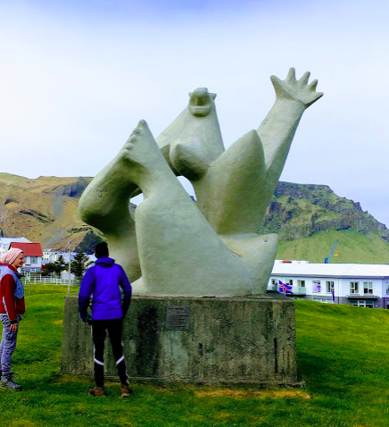
Porter and I have started a trend of imitating statues throughout the city (with much goading on Kaela and Sydney’s part) which we hope to continue throughout the trip.
And that concludes all that we did for today. I for one am ready for bed and can’t wait for what tomorrow brings!