Elementor #3519
on 2024-07-09
with
No Comments
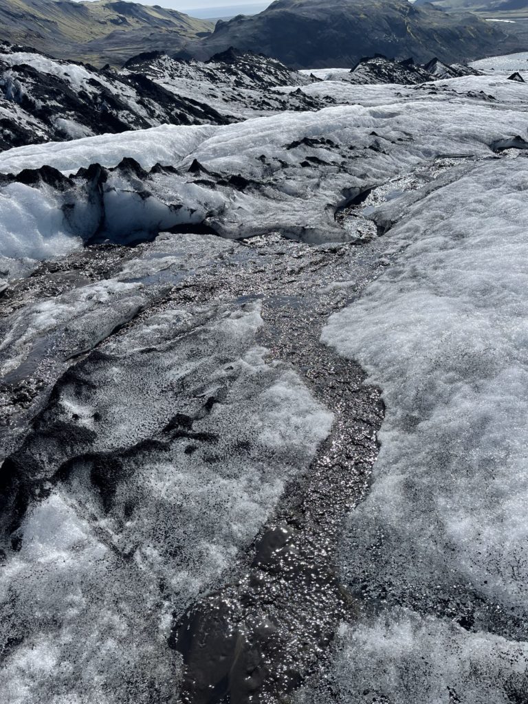
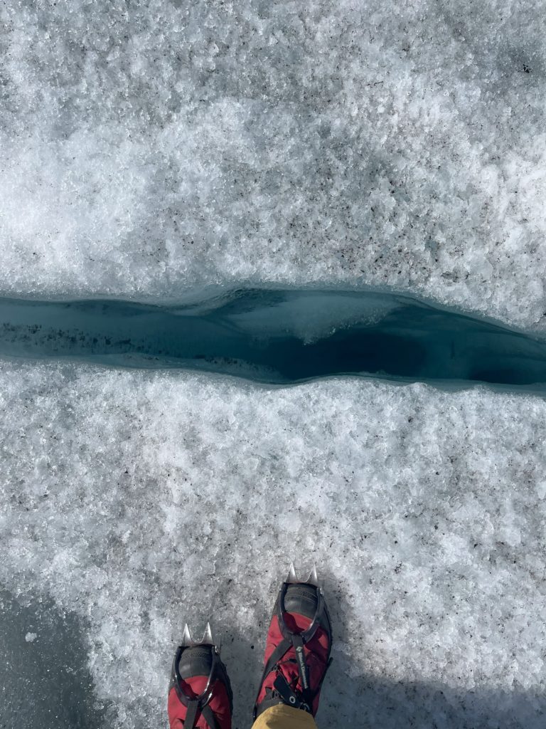
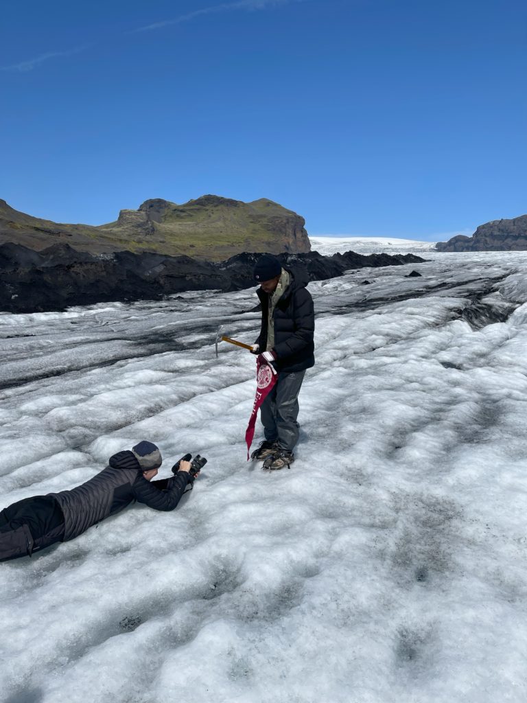
While we had previously visited Sólheimajökull, today was the first time we hiked on part of it. We met with two guides, Gummi and Odur, who showed us how to attach crampons to our feet and helped us navigate the treacherous terrain. We tried not to get distracted by the beauty of the landscape and started screwing in sliced-up orange shirts in the ice to locate the ground control points in our pictures (a location whose coordinates we recorded). Naturally, this brought us some attention as the average tourist does not bring a drill. Part of the group separated and went farther ahead to screw in the shirts and record the coordinates while the rest flew the drones; Charlie went farther up that glacier than he ever had before, which made him quite joyful. Overall, we had a very productive day and a fantastic time.
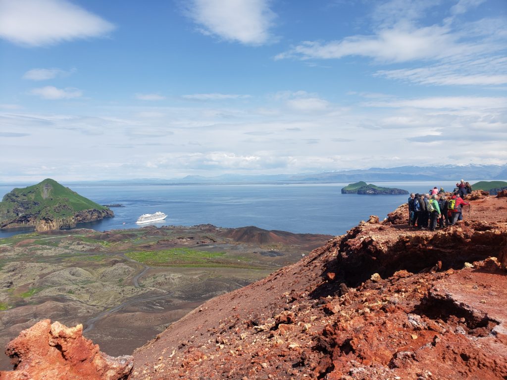
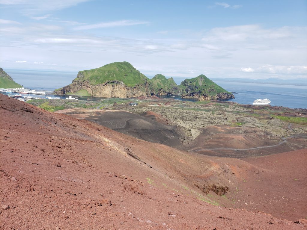
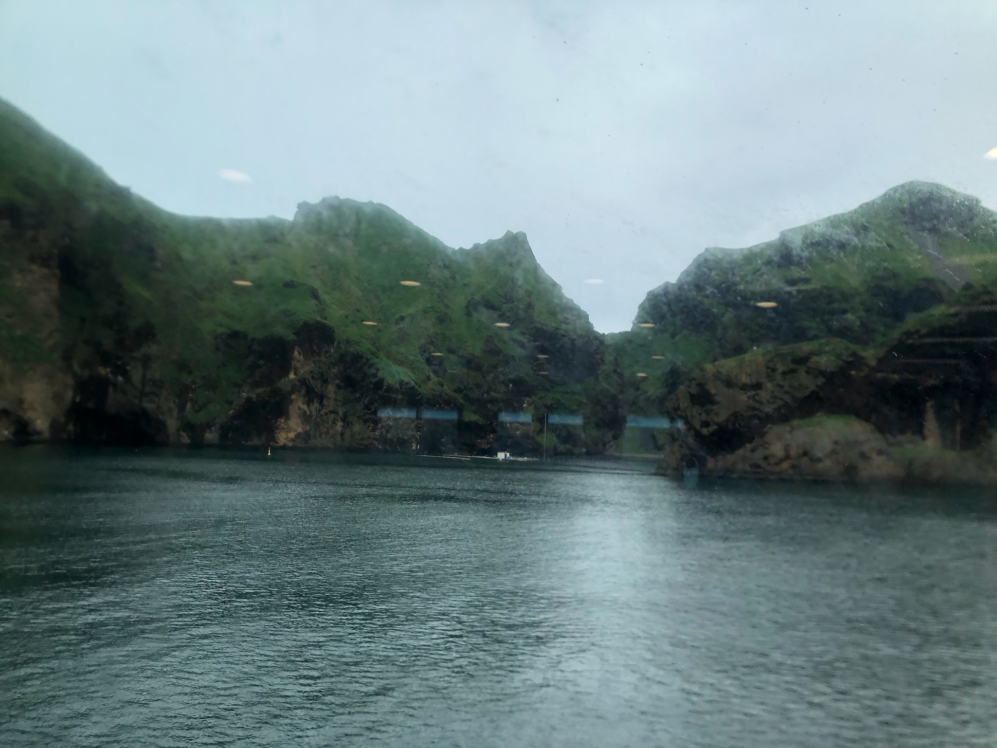
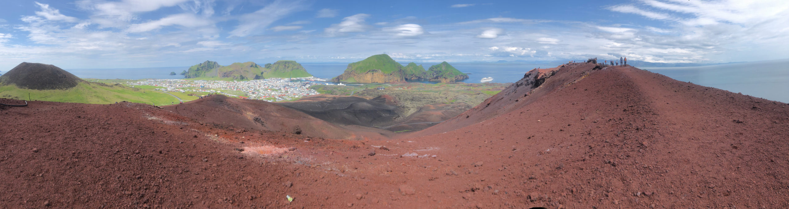
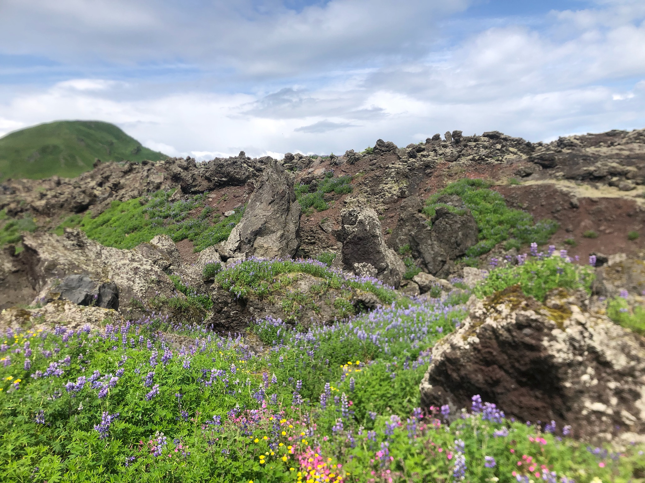
Today, we woke up early to catch a ferry to Heimaey, a small island off Iceland’s southern coast. We went to Eldheimar, a museum about Eldfell‘s 1973 volcanic eruption and its consequences on Heimaey’s population. Some of us then hiked Eldfell and Helgafell, the volcano right next to Eldfell, which allowed us to find some cool rocks. This was a free day, meaning we didn’t have to work on our projects, so everyone went their own way to observe the island and ended up with unique stories about our time there!
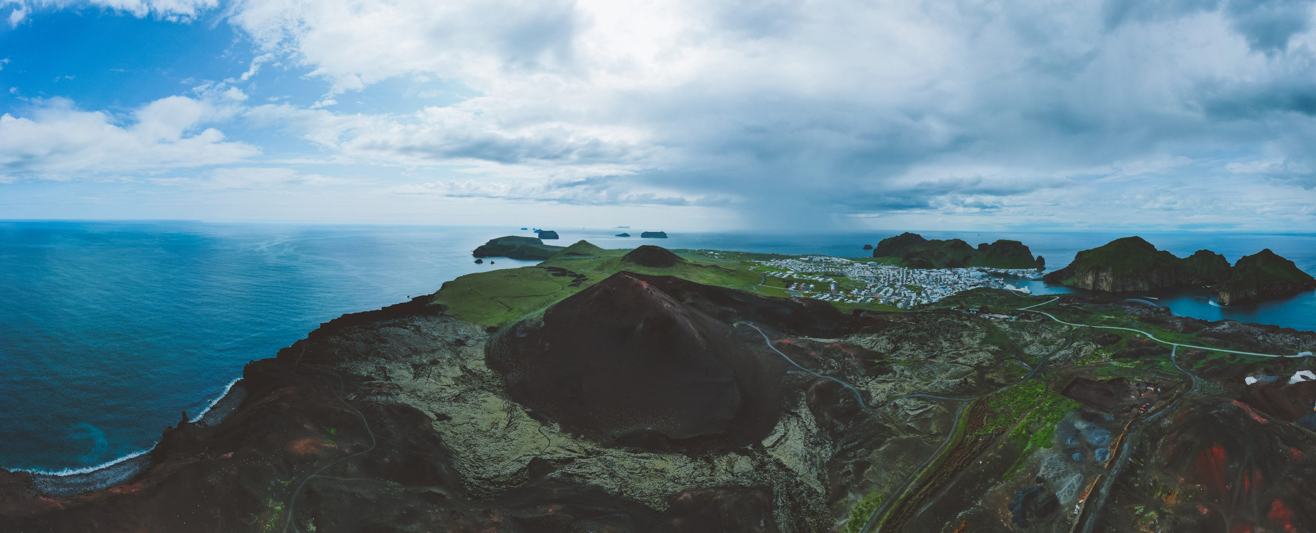
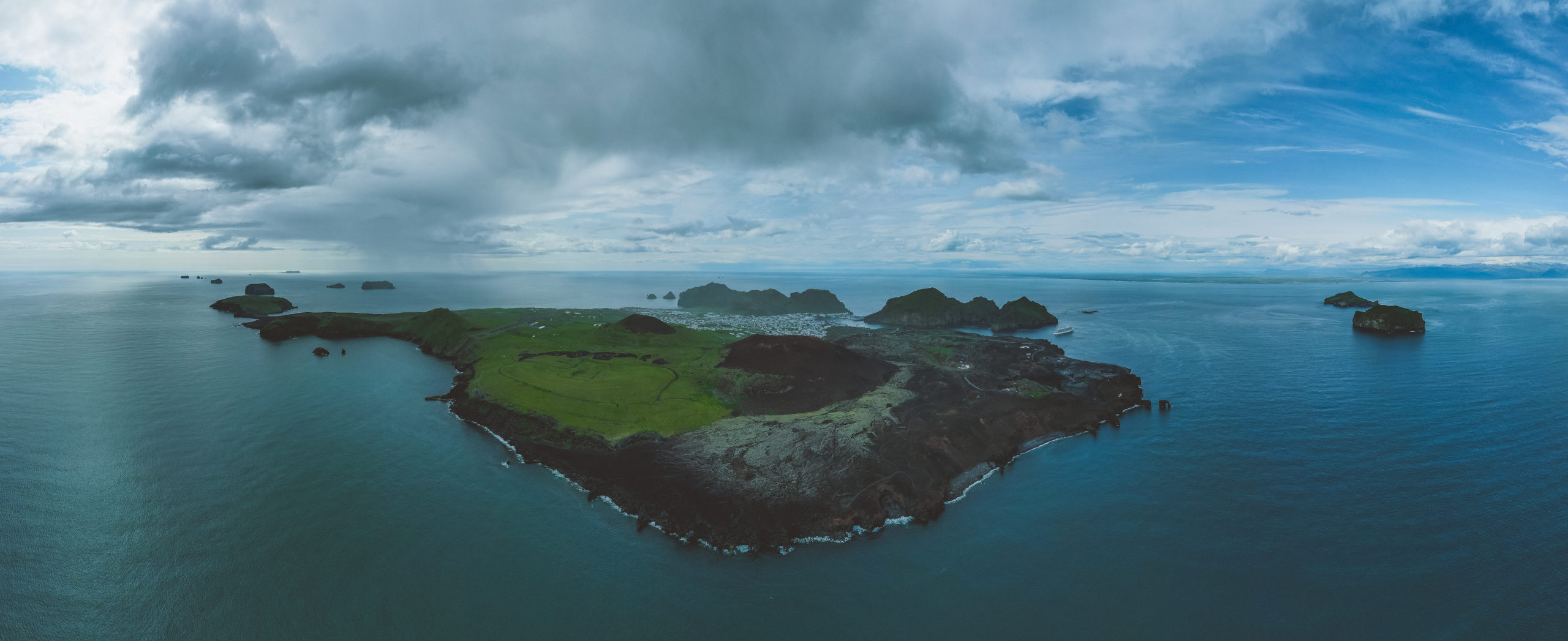
Today we visited the Heimaey, the most populated island in the Vestmannaeyjar archipelago off the south coast of Iceland. It was a long day, we left Vik at 6:30 for the ferry and didn’t get back until 10:30 that night, but it was full of cool things.
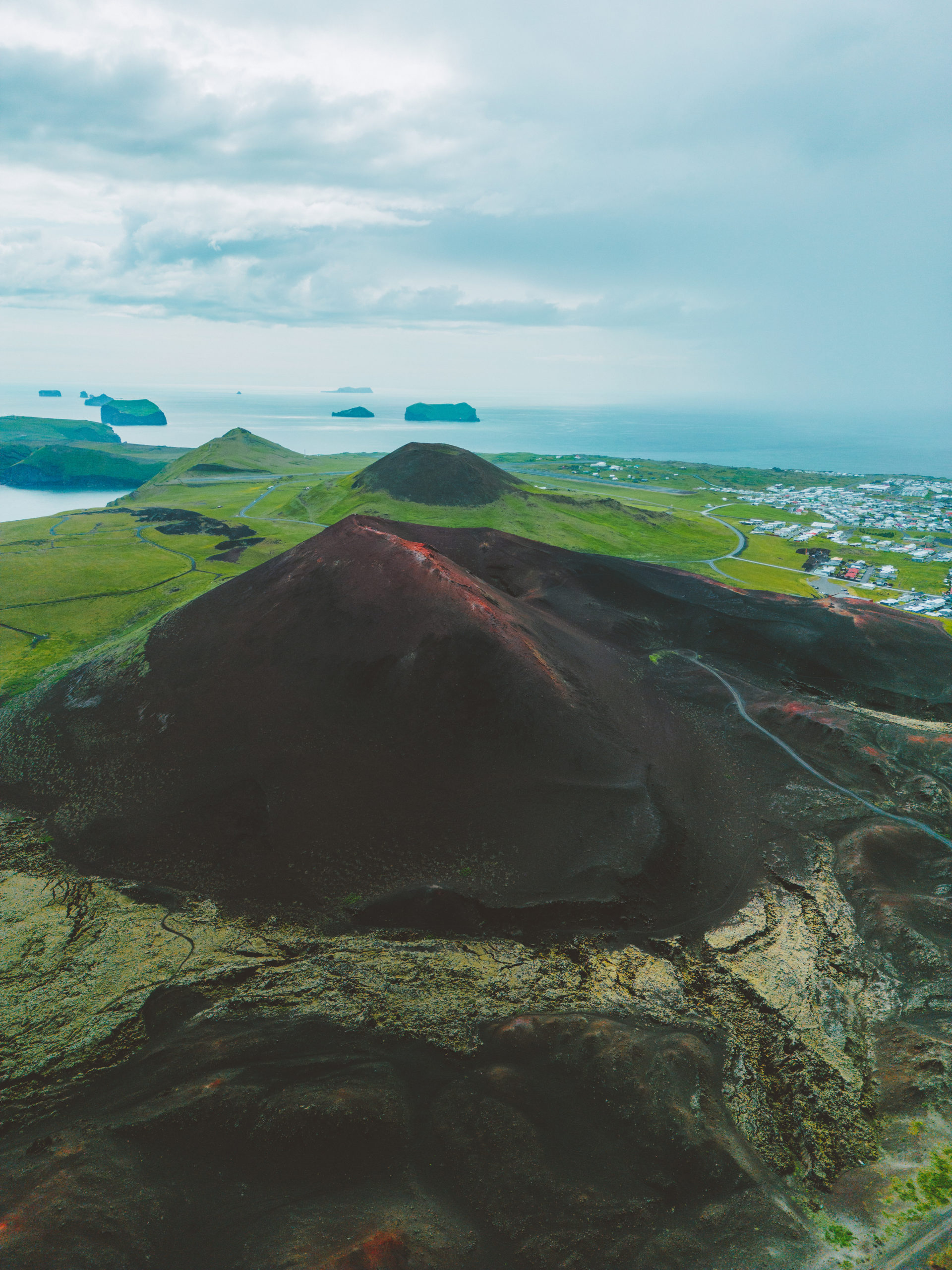
In the morning we visited the museum memorializing the 1973 Eldfell eruption which almost destroyed the town and closed the harbor. The experience was both sobering and uplifting, seeing before and after images of the town, along with the still half buried ruins of peoples homes really put the danger of volcanic eruptions into perspective; but people all over Iceland, and the entire planet, came together to help and now the town has bounced back from the disaster. Afterwards we hiked up to the top of the Eldfell volcano itself, it was exhausting, but the view was amazing.
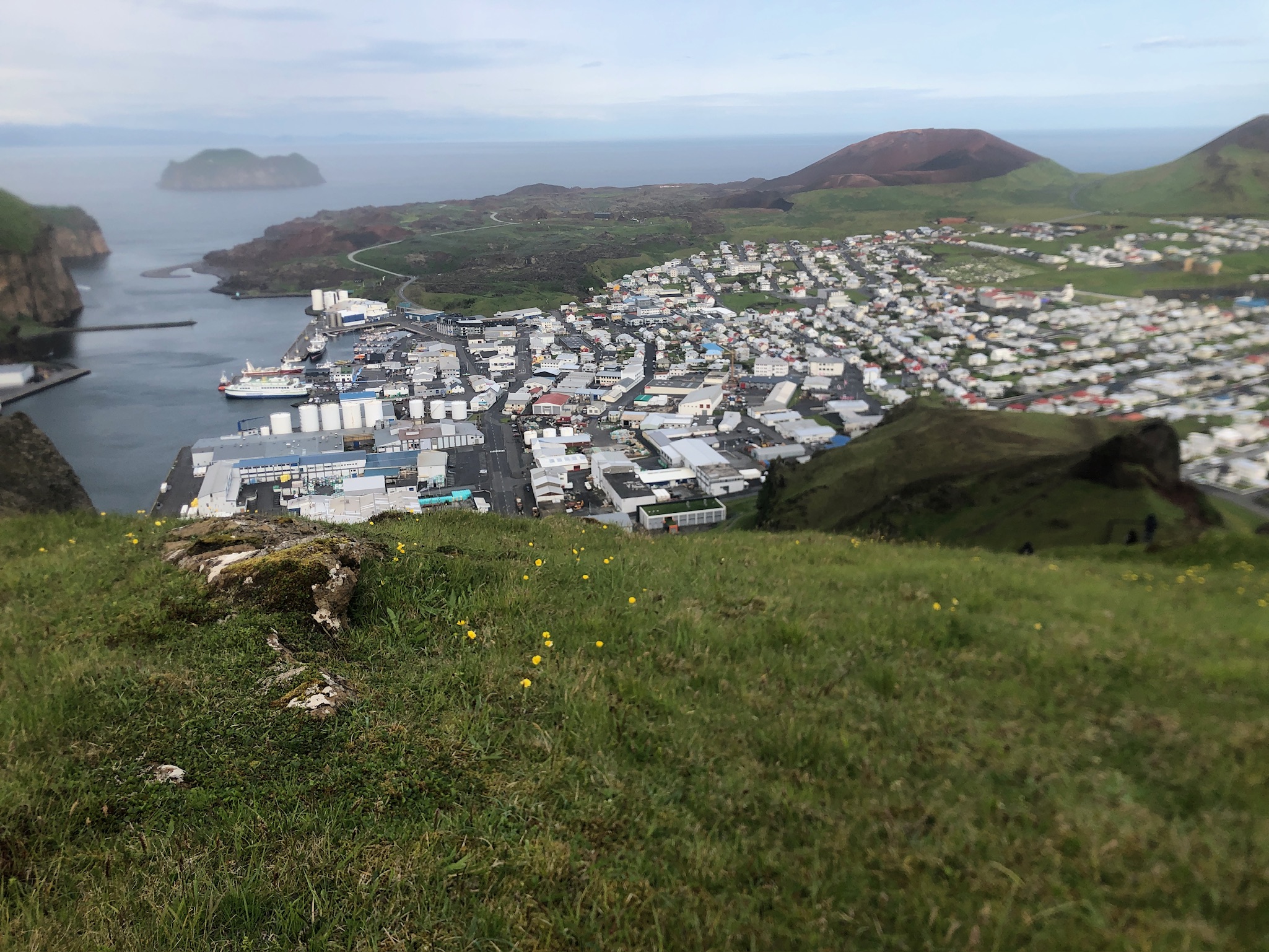
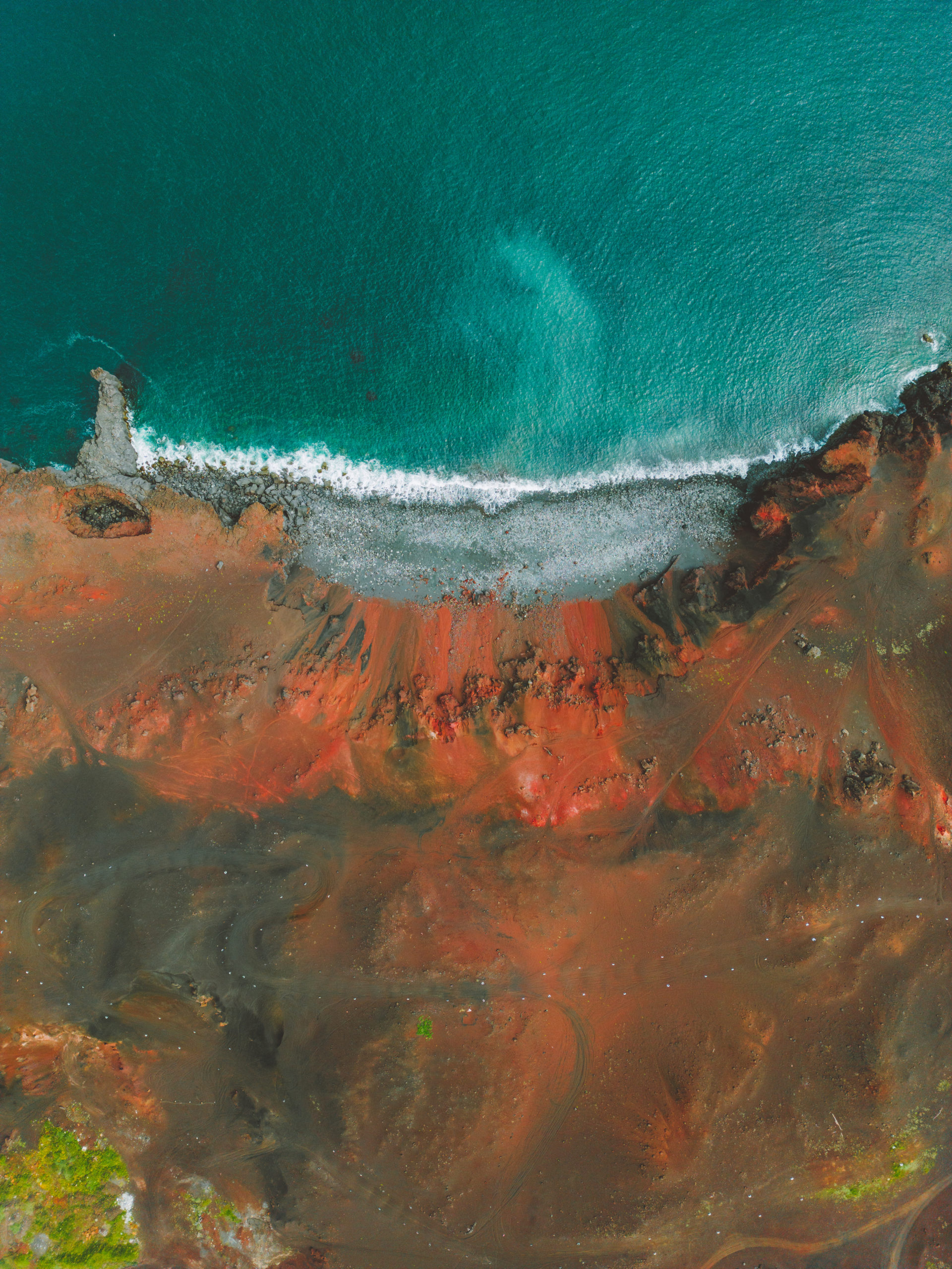
Afterwards we split up into small groups to explore the island at our own pace, people visited the lava fields created by the eruption, the town’s aquarium, and many other things.
I ended up taking a trail up the west side of the Blátindur mountain, more or less diagonally opposite of Eldfell, which also had a spectacular view.
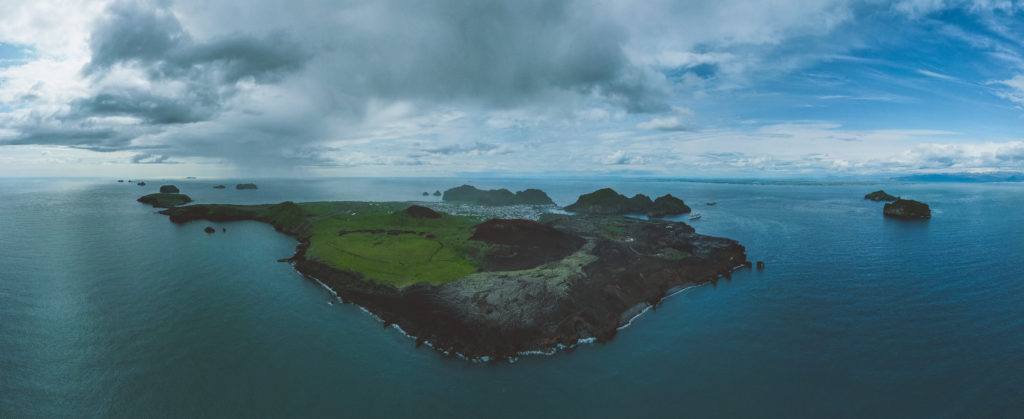
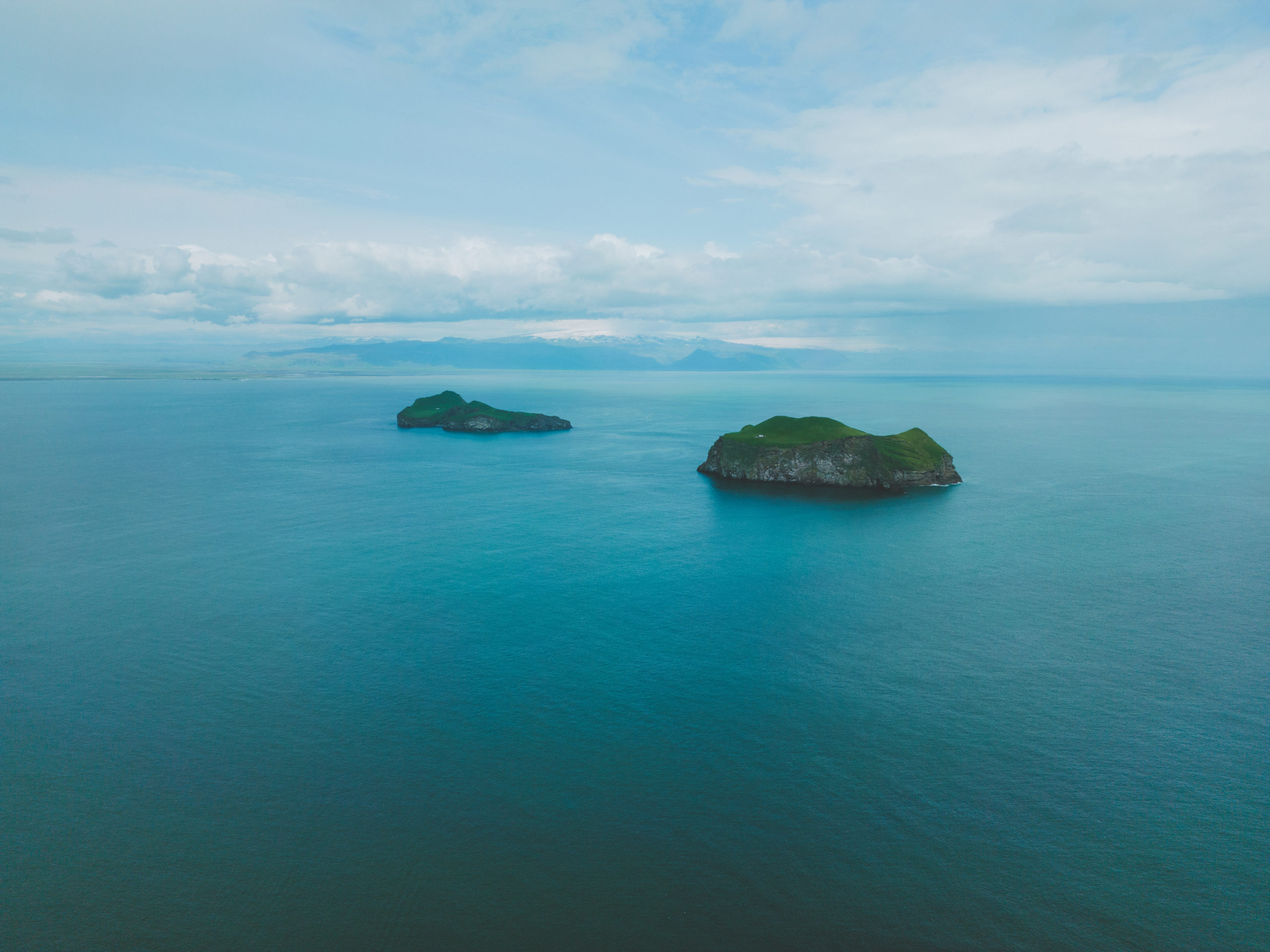
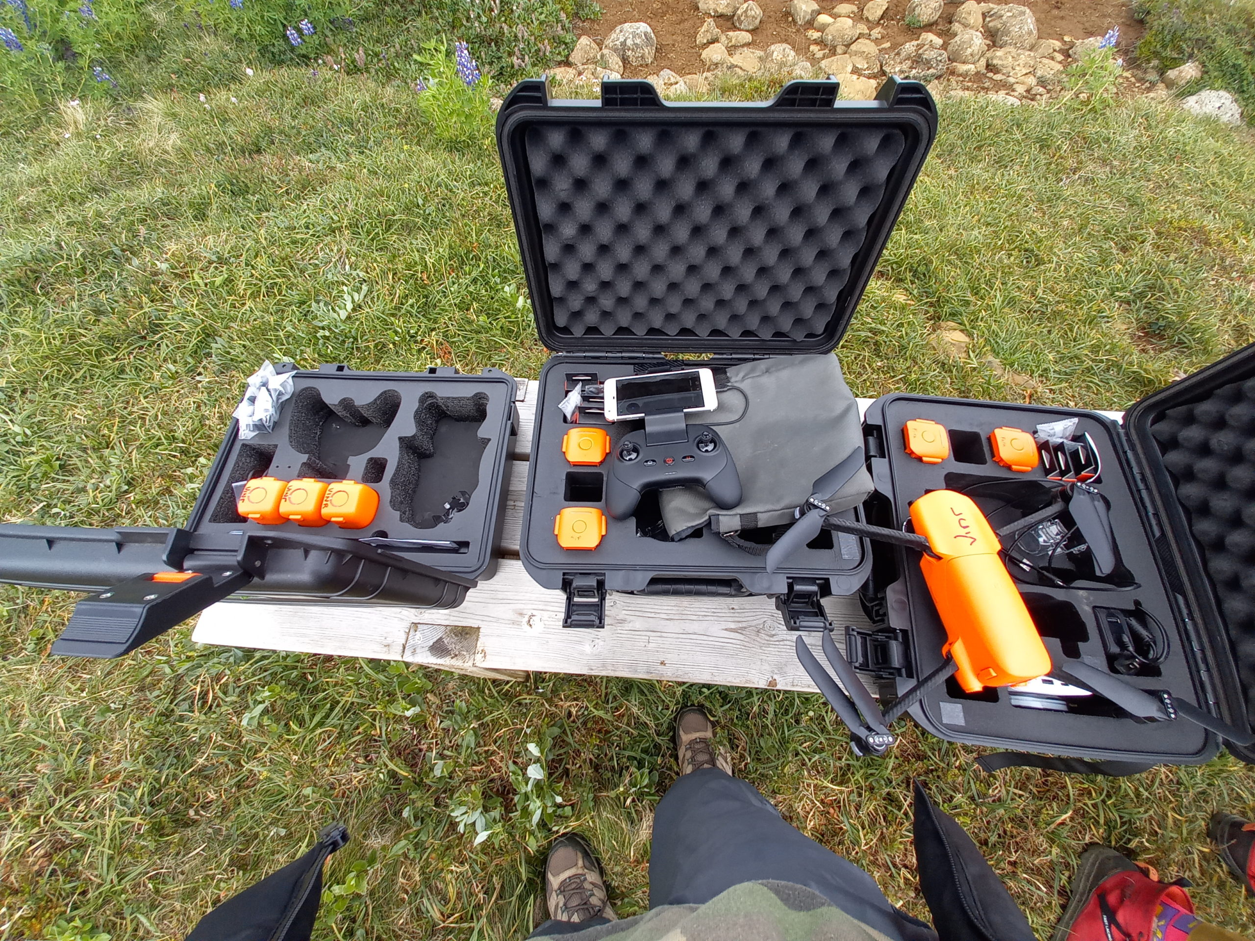
Finally here is a gallery of some fantastic drone photography from the groups photography expert Joe

Our ten day adventure at Skálanes has come to an end. After days full of exciting research, hiking, and more, we departed early in the morning yesterday on our drive to Vík, where we’ll be staying for the next five days doing some glacial research. Yesterday, we arrived at our cabins in the late afternoon and had a delicious dinner (and ice cream!) at a restaurant only a couple minutes walk away. This morning, some of the group went to the glacier to do some work with drones, and on Monday, we will all be going to continue research. Our time at Skálanes may be over, but there is still adventure ahead.
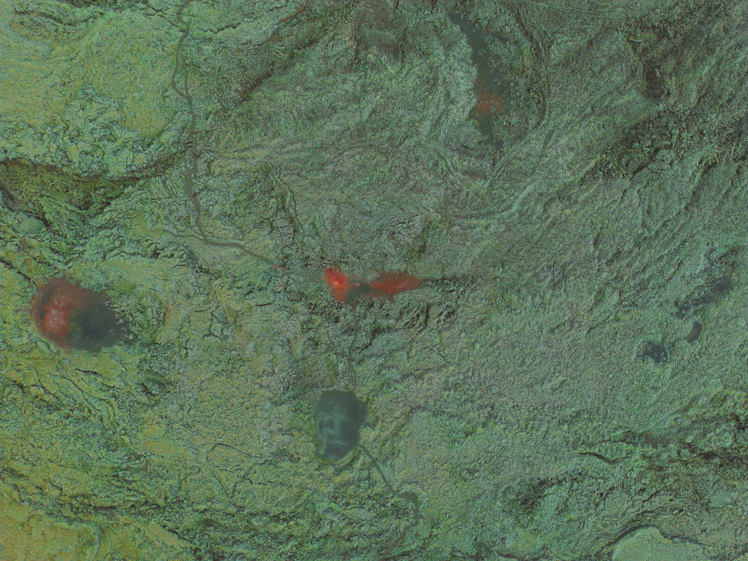
Some would think that weekends are for relaxing and doing nothing. Not for this group though! Despite it being a Saturday, we were hard at work as usual in Skálanes. The day started nice and early with breakfast to get us charged and ready for the work we were about to do. Some of us did drone flying over the land from the coastline all the way to the first ridge behind the house and the Ytri-Sanda river. Some of us worked on GCP locating, others on GoPro footage and WebODM work. All hands on deck!
As the evening started setting in, we all sat down for dinner together in the dinning room, as tradition. We had rice, chicken and bean curry. Yum! Perfect meal after a long day.
After dinner, some of us decided to go for a hike up one of the ridges behind the house. We set out at around 8:30pm, bundled up in warm clothes and full of excitement to get to the top of the ridge. The hike was a rollercoaster of emotions. Fear of climbing up the steep ridge (It is very steep indeed! Watch out for the rocks if you decide to go up yourself and try not to look down hahaha), happiness from finally making it to the top and appreciation for how beautiful the view was. The Skálanes house looked so small from the top of the ridge.
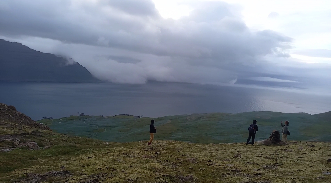
We started heading back to home-base because the weather was getting bad. Lots of rain and wind. We made it back around midnight. I must say, despite how scary the hike was, it was totally worth it. Iceland truly is a beautiful place.
Another busy and fun day in books. We all look forward to what the next couple of days and weeks have in store for us. Lots more research to do!
Yesterday evening, we were warned about today. Seth gathered us all in the parking lot in front of our tiny cabins and started off with, “Tomorrow will be a busy day.”
He said that we would have to drive to Egilsstaðir to pick up some researchers from the University of Southern Connecticut joining is at Skálanes and pick up food for our time there. Once we had gotten all of the people and all of the groceries, we’d then juggle the vehicles to transport all of the people and luggage to Skálanes.
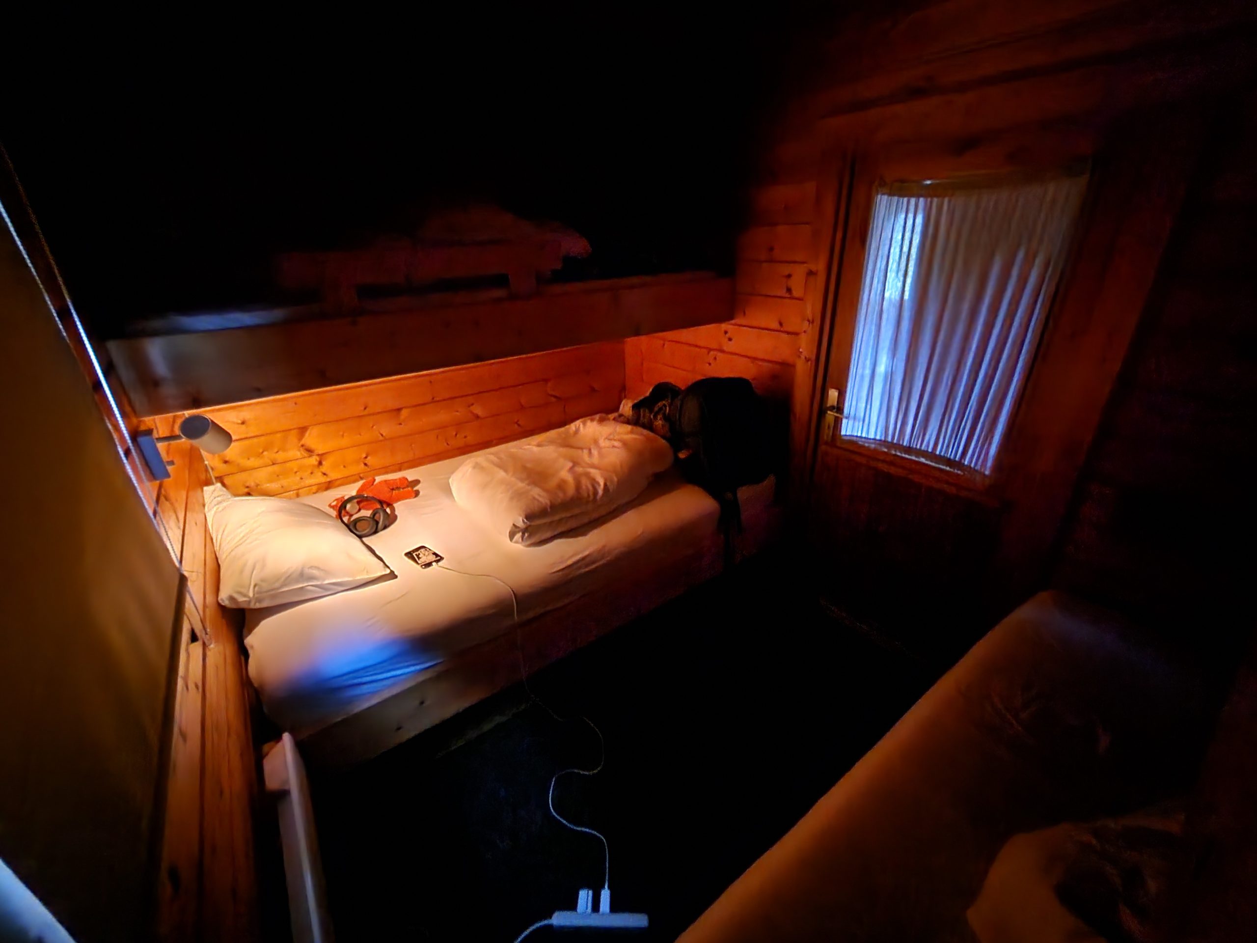
I sensed that staying at these admittedly very cramped cabins with no hot water was not the most popular choice amongst us, but I found them to be very cozy. After a good night’s rest, we woke to a rainy morning.
The plan, made last night, had been to eat breakfast in the parking lot. This did not happen. We stayed in our warm, dry cabins as long as we could, eating our breakfast from the cooler that Clayton so bravely brought to the four of us in our cabin through the drizzle.
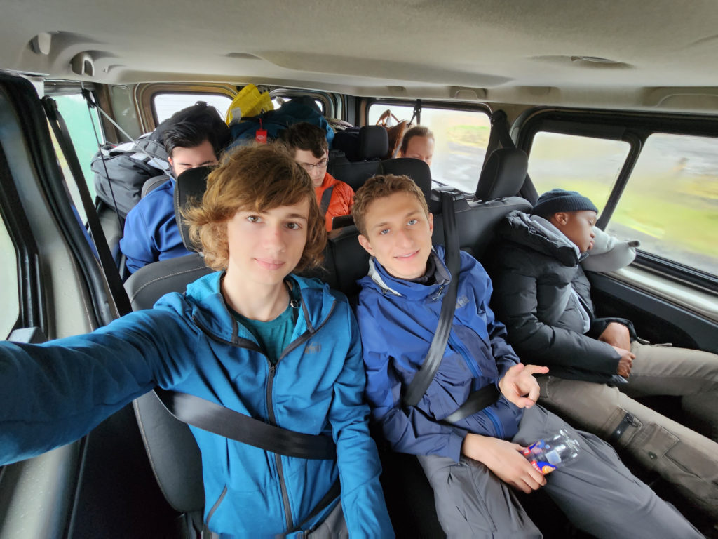
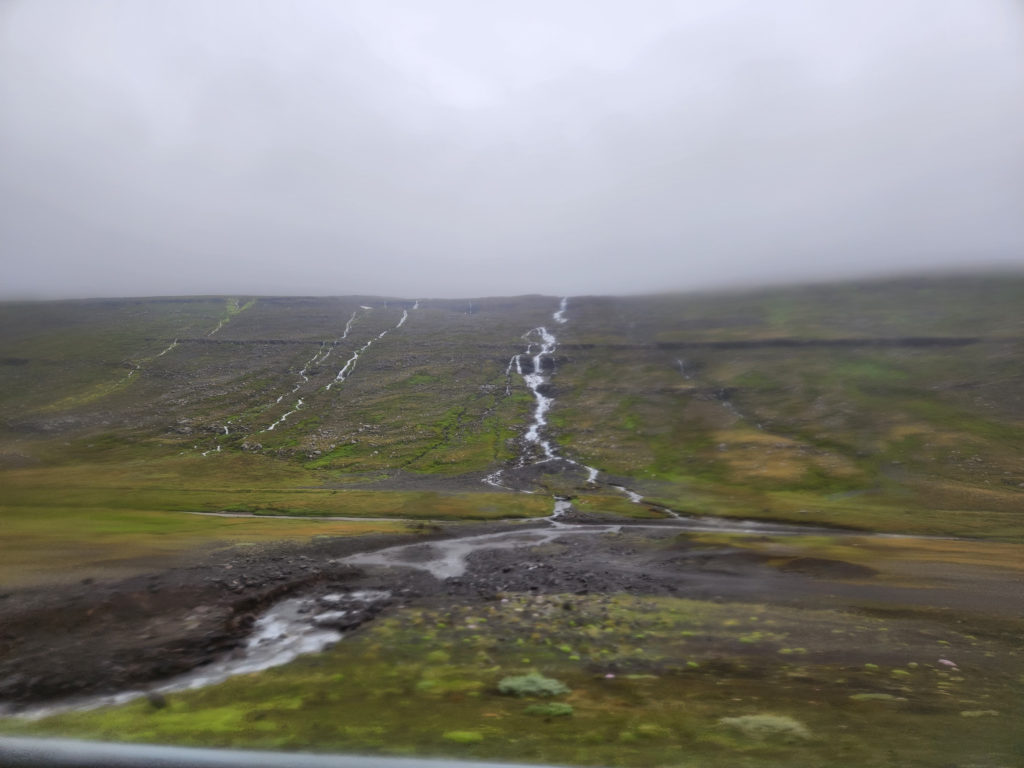
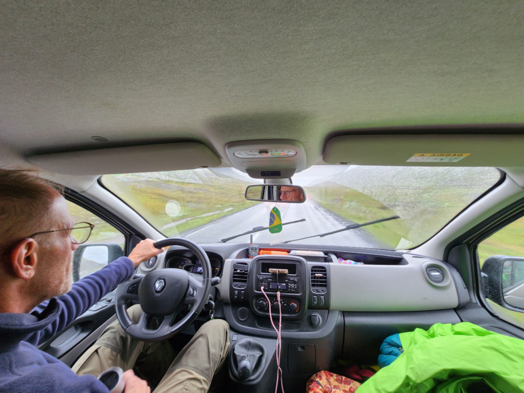
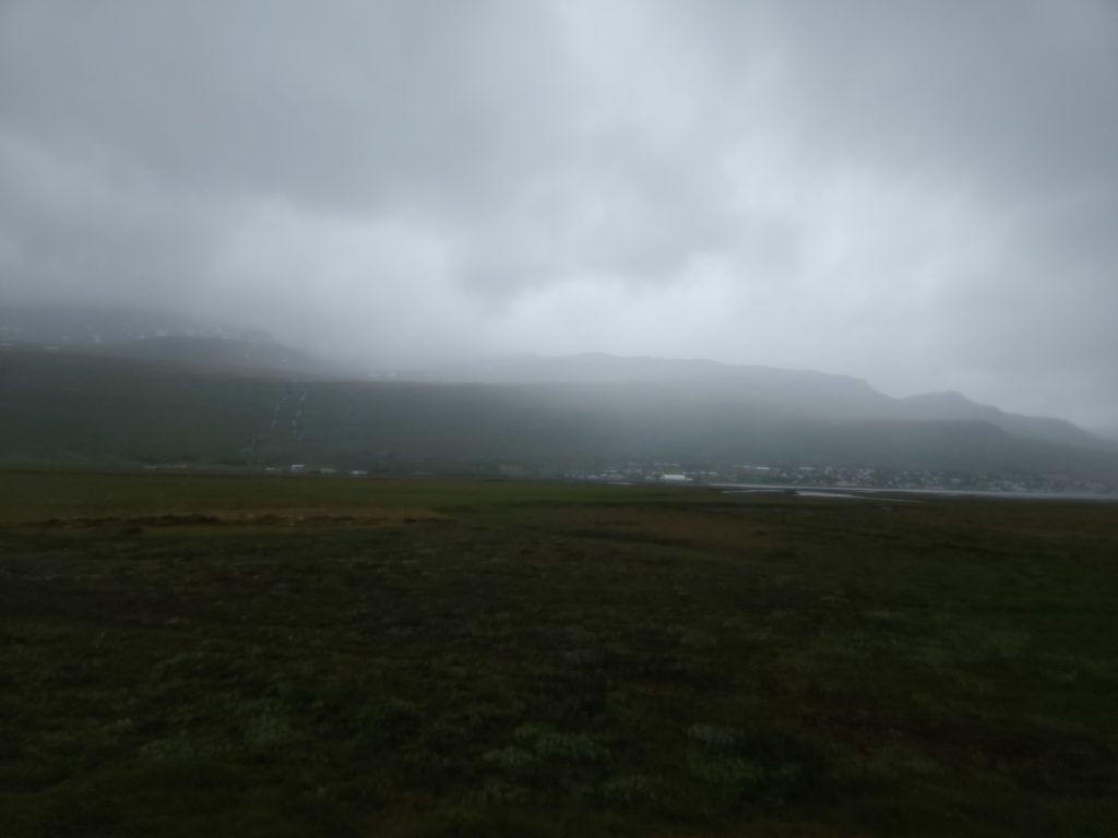
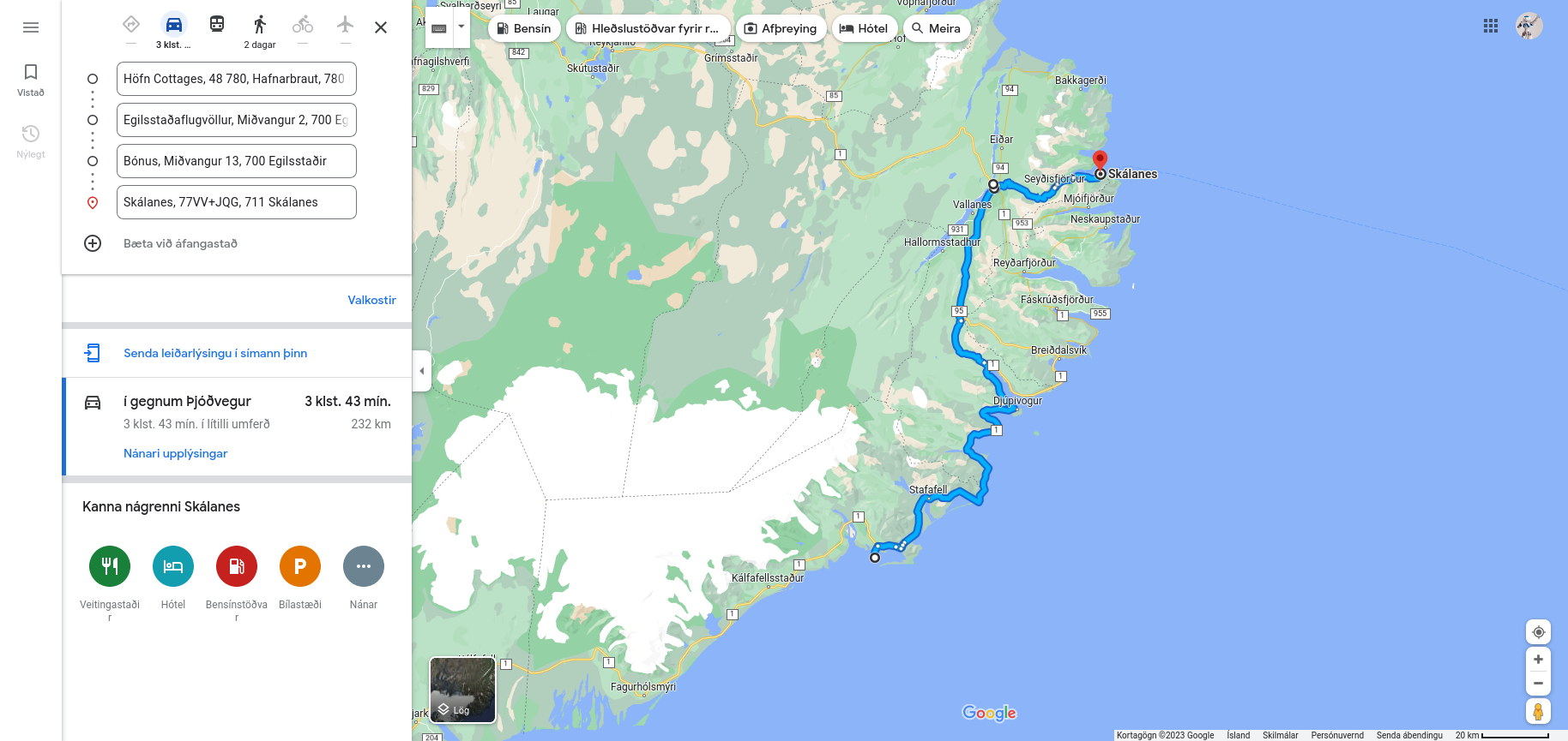
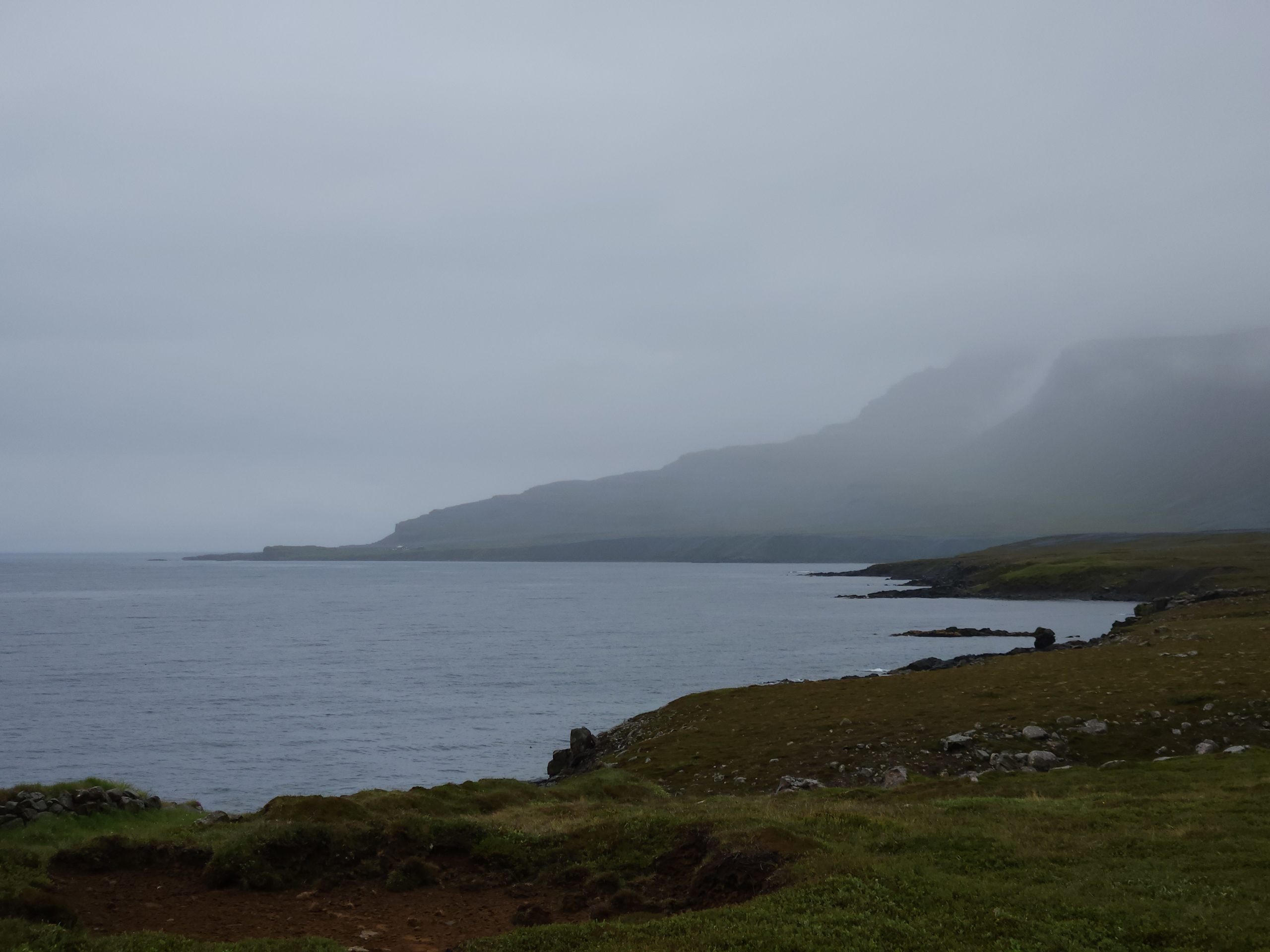
After that was the drive to Egilsstaðir. In this part of the country, Route 1 snakes along the coastline, allowing us to look at the fjords and the mountains between them from both sides as the road passed around them.
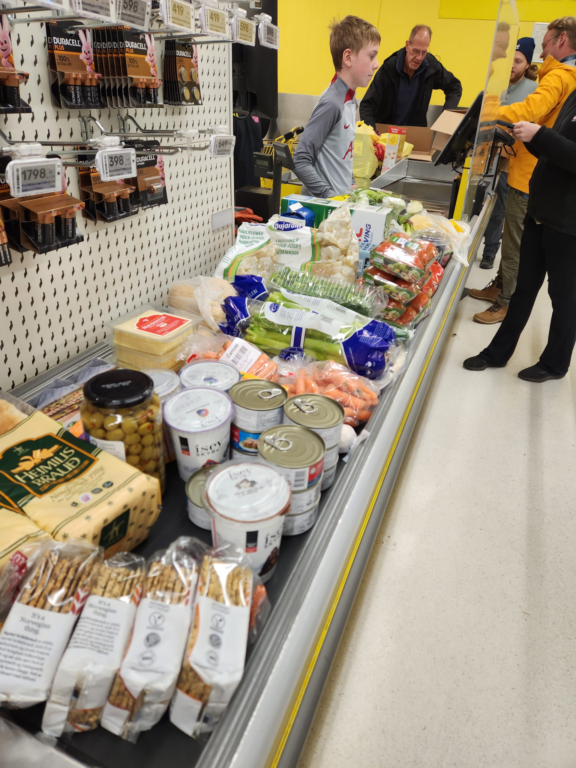
We finally arrived in Egilsstaðir. The group waited in the parking lot of a Bónus grocery store. As the ones flying in were picked up from the Egilsstaðir airport, we bought the food we would need at Skálanes.
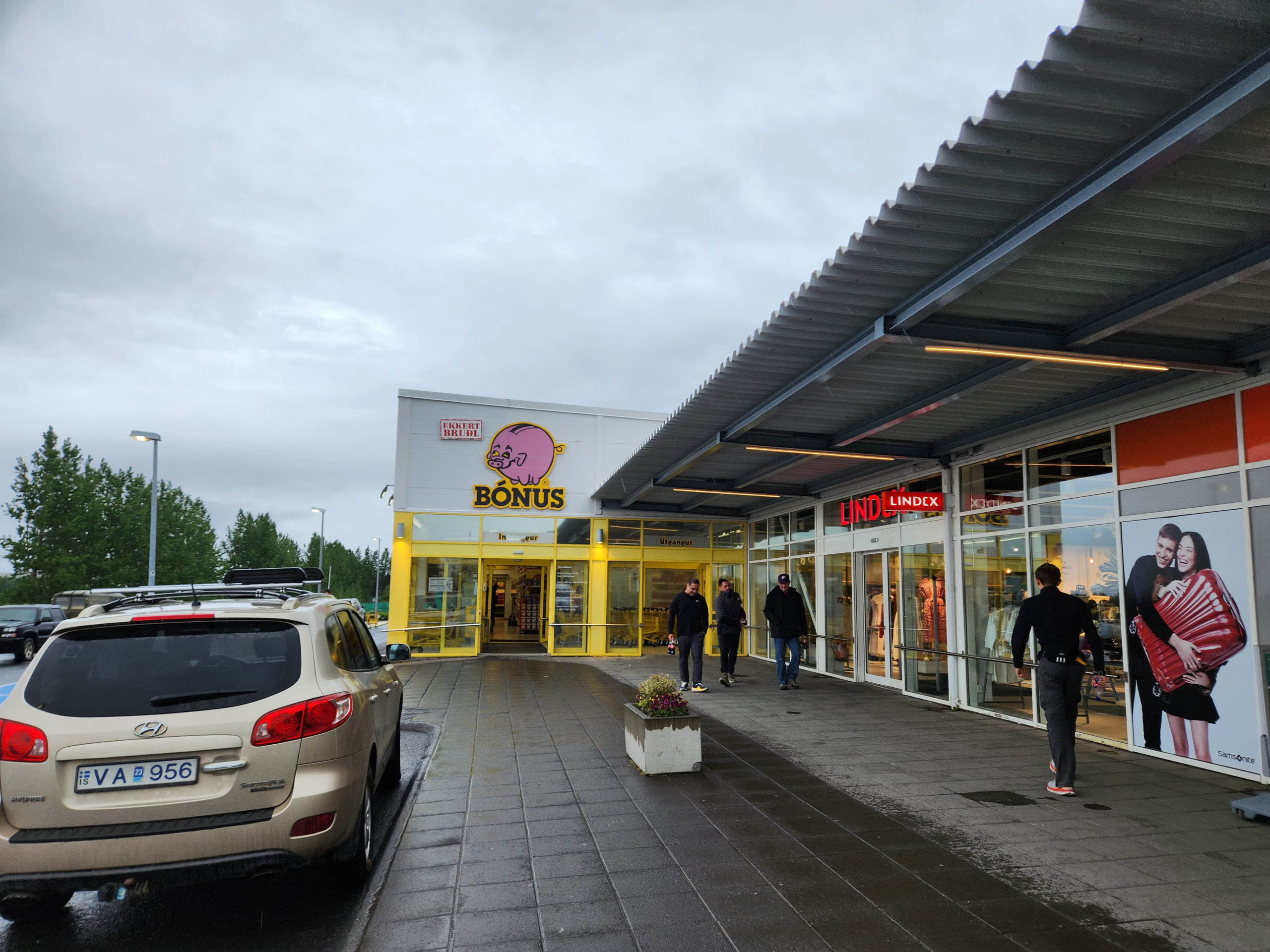
We need a lot of food to feed the 20 people at Skálanes. This will not be the last trip.
After a long wait for everyone to return from the airport, we drove to Seyðisfjörður, the last town before Skálanes, to arrange the luggage. Because we have to drive through a river on the road to Skálanes, we can’t take our normal vehicles there, instead relying on one rugged wrangler to carry all of our luggage.
At the last gravel parking lot before the river crossing, we parked the van for the last time before Skálanes.
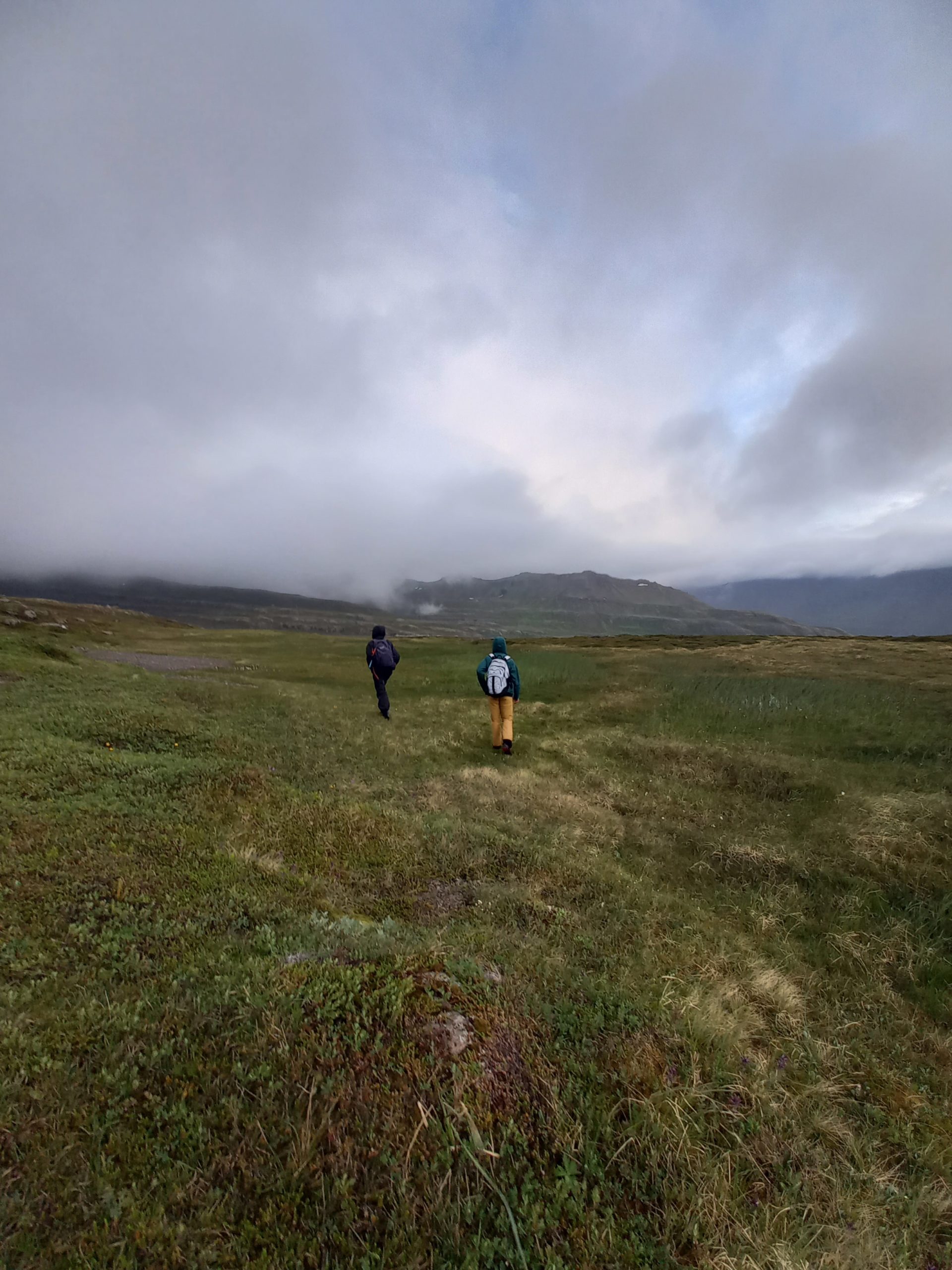
We were given a choice: to wait until the next trip of the motor vehicle or to start walking. I chose the latter, obviously. It was cold and wet but I think not a soul who walked regretted it.
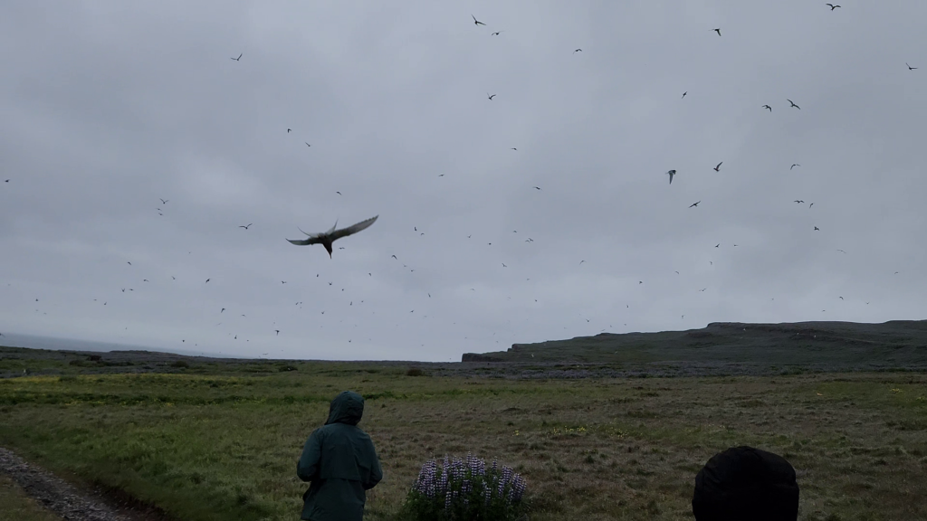
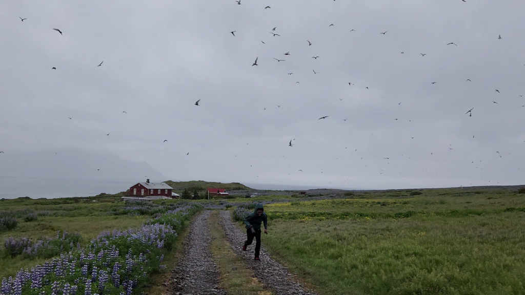
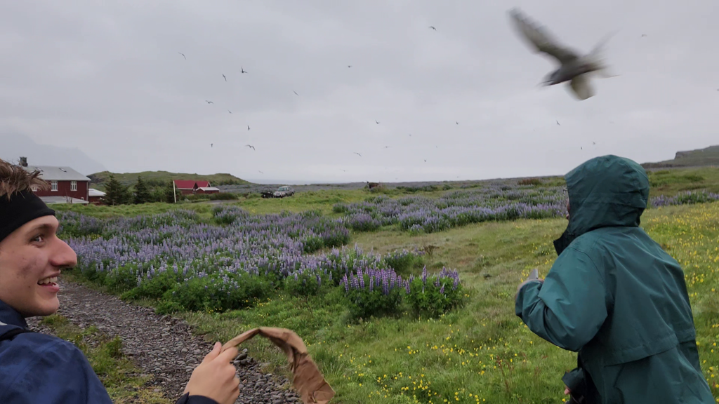
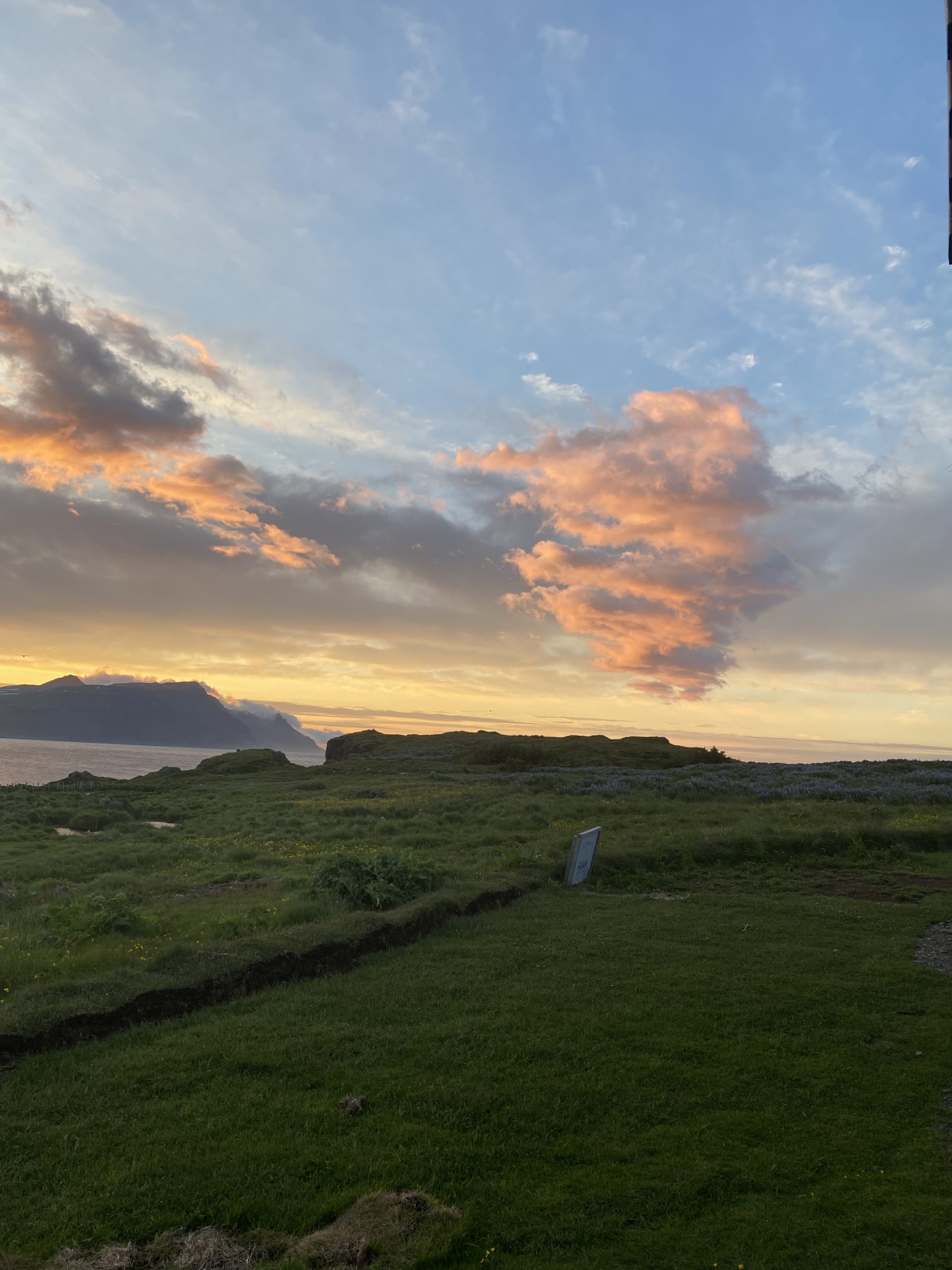
When the end of the walk was nearing, This sign was posted on the path:
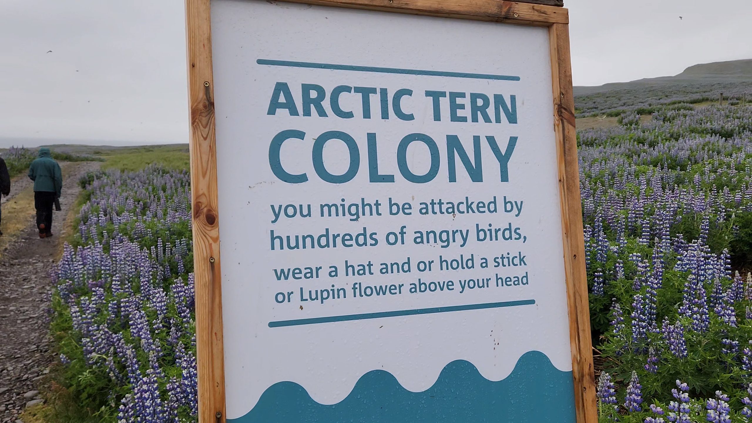
And Justin, being the tallest, felt their wrath.
Now, I could have simply gone to bed now, but I had heard of a bird watching platform just a little bit farther east, and I’ll leave you with this:
Hello all!
This is Justin, I’m a rising senior biochemistry major and your host for our first blog post!
15:50
All of the students and a few faculty have checked in and made it through TSA with no problems! For some of us, flying internationally is a new experience so smoothness throughout the process of getting to Iceland is the goal.
17:08
Charlie, one of the faculty leads, has been stuck in TSA for 45 minutes. A minor setback but the flight boards in 80 minutes so we aren’t too worried!
18:20
Charlie made it to the gate. Everyone is accounted for and we’re on track for boarding at 18:40
18:50
We are not on track as we thought but never late than never. We are boarding now!
20:31? (time zones are weird)
We are 40 minutes into the flight and so far everyone is doing well.
Flight path wise we are right on the border of Canada between Detroit and Toronto. For our first blog post, I thought it would be fun to provide updates at different portions of our trip but Im realizing it’s harder than it looks as we switch back and forth between time zones .
One thing I found both funny and cool is that before takeoff, many in the group pulled out phone apps for measuring altitudes and air pressure. As a group of scientists, there’s no place or limit for curiosity.
Looking at the flight path, we should fly over Greenland. It’s nighttime and very foggy right now so it might be a close call whether we’ll be able to see it well, but fingers crossed. See you all in the next update!
05:00
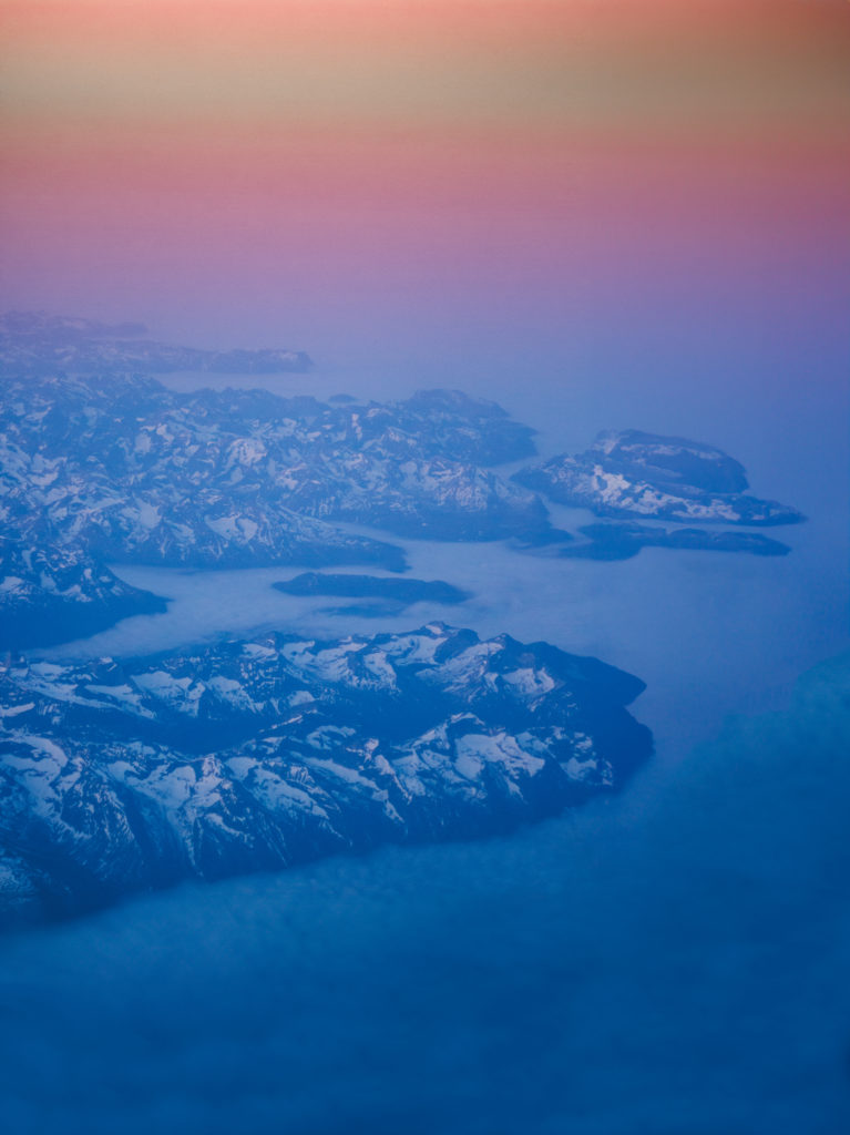
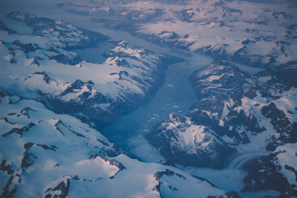
We just passed over Greenland! For those who aren’t familiar, the name Greenland is very deceptive, as the island is mountainous and entirely covered in snow.
Here are some pictures taken by Joe, another student who you’ll get to know more about throughout the trip. He captured these pictures on his Canon camera (he does really cool photography stuff).
I sat near Joe and Issac (who you’ll also meet) and we were in awe of the landscape. We all agreed that seeing Greenland alone made the trip worth it!
05:53
We only have 38 minutes left of the flight! Most people were asleep for most of the journey, but it looks like the majority of us are awake now.
06:03
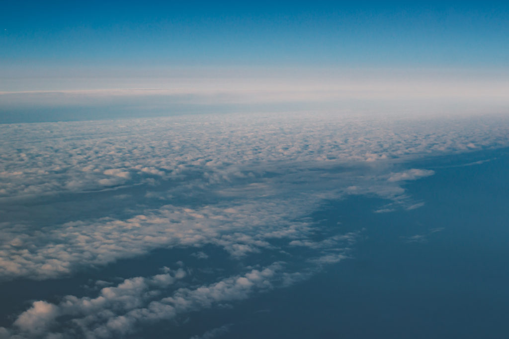
30 minutes left. We’ve started to drop altitude slightly, indicating that landing is approaching. If you look at the picture below you’ll notice a bank of clouds. We suspect that the presence of these clouds means there’s land nearby. Iceland might just be hiding behind them!
06:13
20 minutes left! I decided to interview Clayton, another student you’ll meet, to gauge his thoughts and emotions right now. It’s worth mentioning that he has never traveled outside of Ohio and Richmond, Indiana. So many of us have been eagerly awaiting Clayton’s perspective on the flight. Here’s a quote from our conversation:
“The initial takeoff is probably one of the most amazing things I’ve experienced” – Clayton
06:23
Only 10 minutes until landing. We’ve descended about 6000 meters in the last 15 minutes.
Apart from that, there’s nothing new to report.
See you on the ground!
06:33
We’ve landed! And we spotted lots of lupines in bloom. The plan here is for us to get our baggage, and head to the hostel where we will stay for a day before heading to our next destination.
16:00
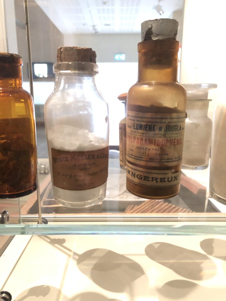
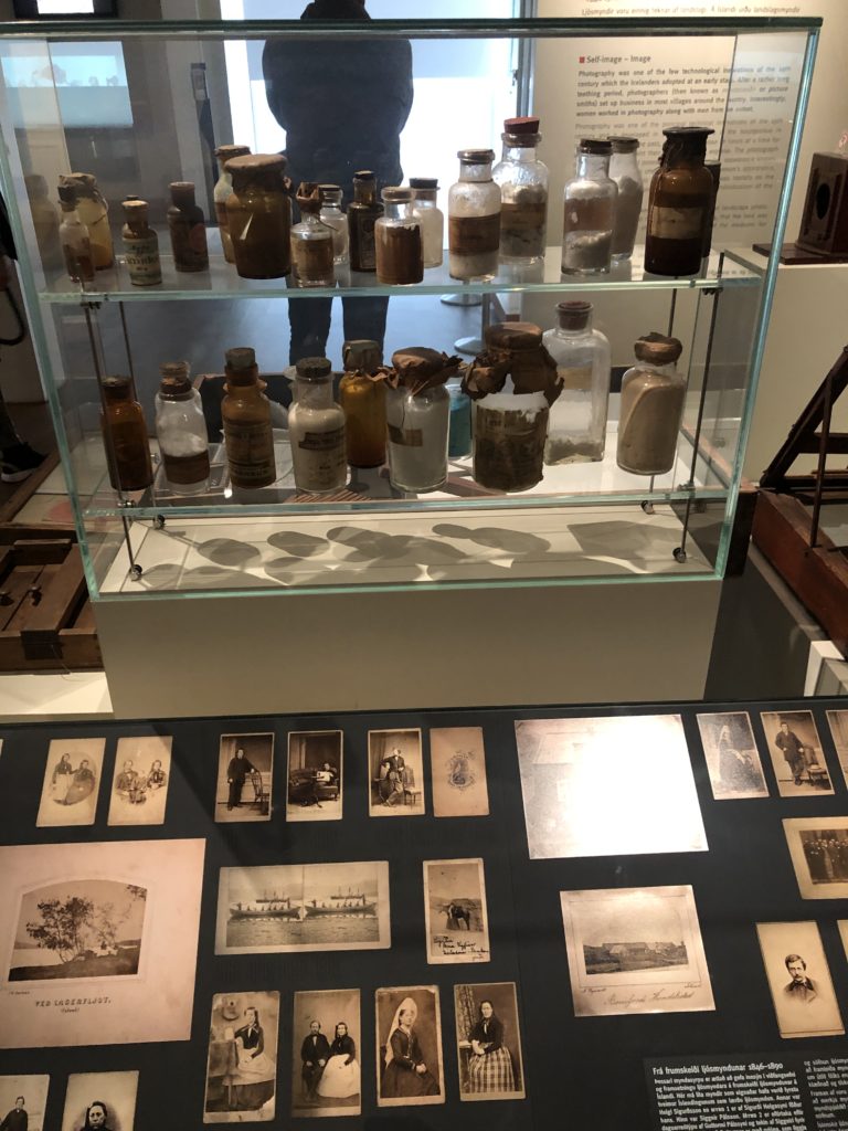
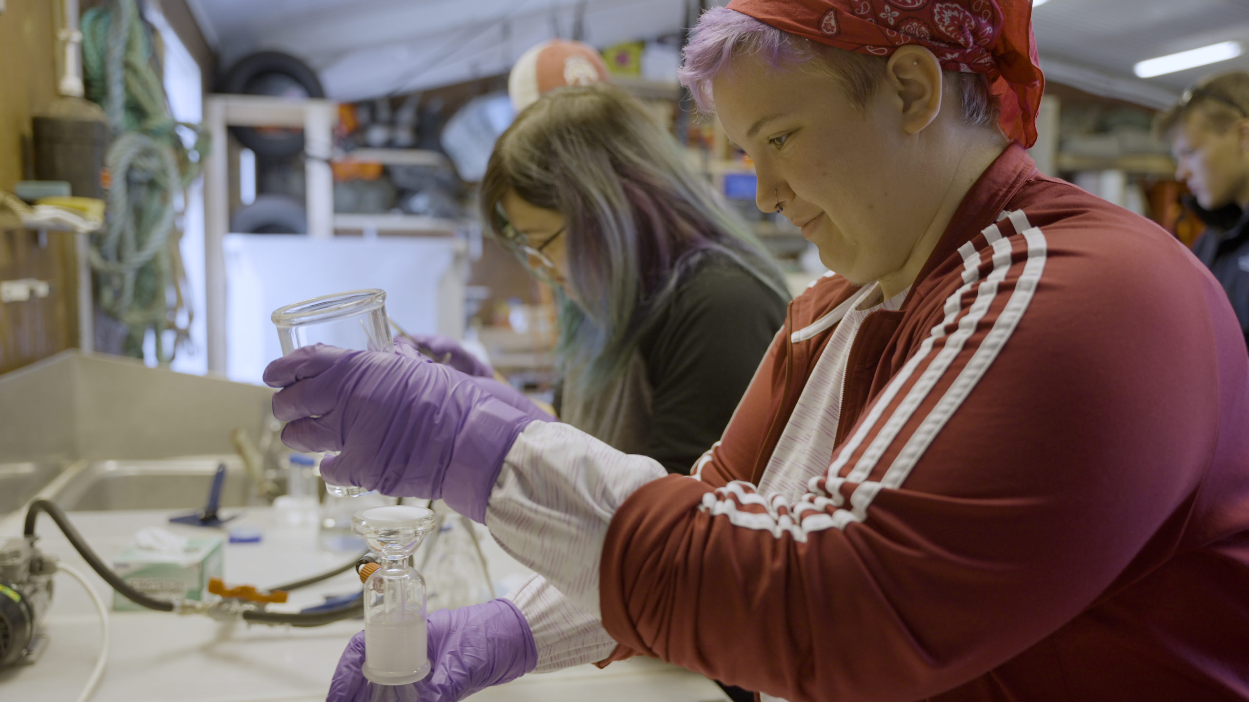
A few of us are visiting the National Museum of Iceland, while others went on a quest for groceries needed for dinner. Now, here’s a tricky question for you: What do you think these bottles are?
Surprisingly, they are actually chemicals for film processing! Initially, I mistook them for bottles of medicine. It’s fascinating how things can be deceiving at first glance.
We plan to continue exploring until the museum closes in about an hour. Our next update will be back at the hostel!
19:55
Everyone has enjoyed a delicious dinner and we have the rest of the night to relax before embarking on our 7-hour road trip to our next destination.
Seth, Charlie, and Porter teamed up to cook pasta and it was amazing! We also had salad on the side with a dressing from Stevie, another student who you’ll meet. Stevie spoke very highly of this dressing during our car ride and I can confirm that it lived up to its reputation!
With dinner taken care of, we can now retreat to our rooms and unwind before hitting the road tomorrow morning. We’re excited about the many opportunities we’ll have to explore the stunning landscapes and wonders Iceland has to offer.
Thank you for joining me on our first day and I look forward to seeing you again soon!
Hey everyone, Jacob here,
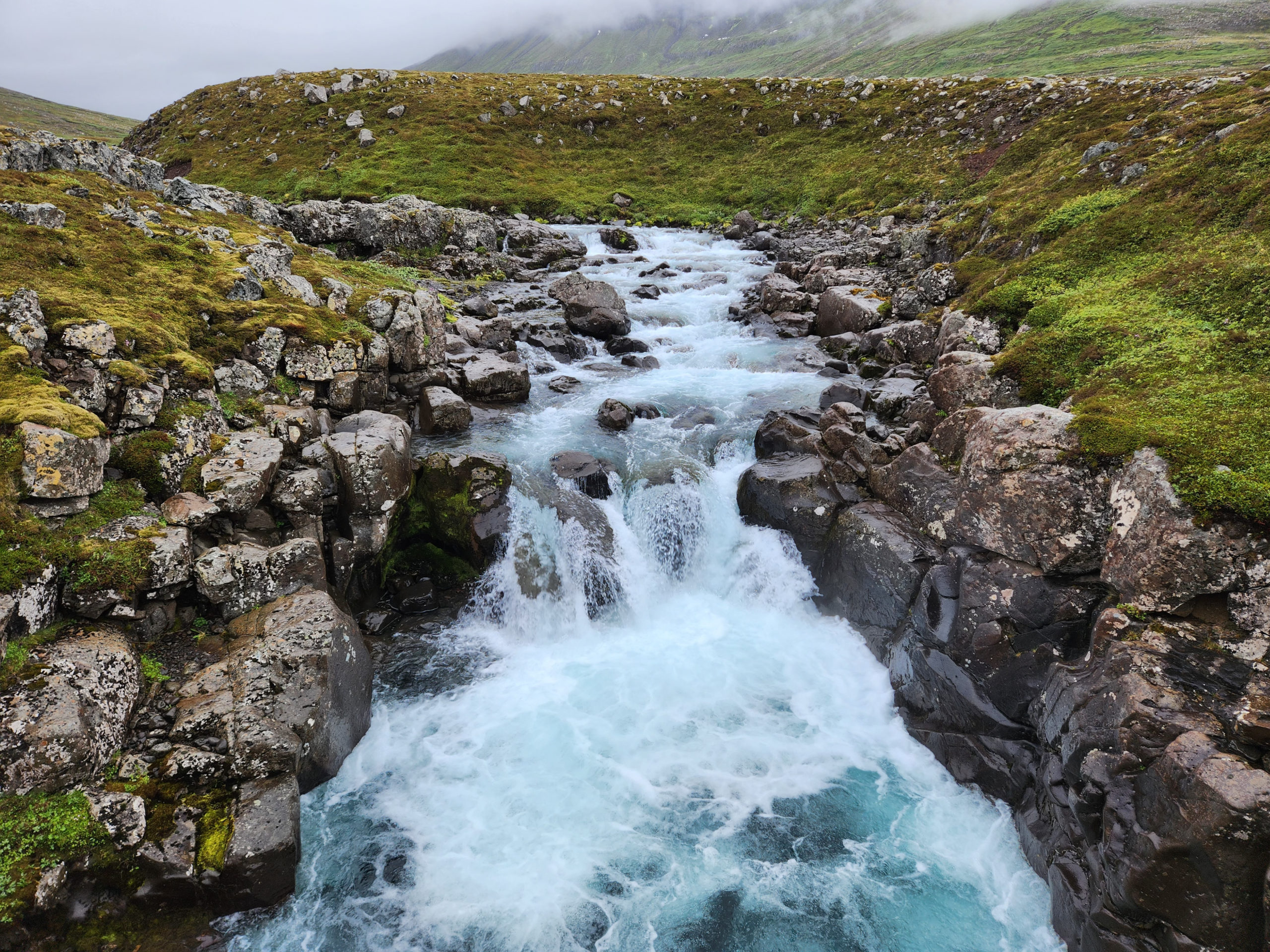
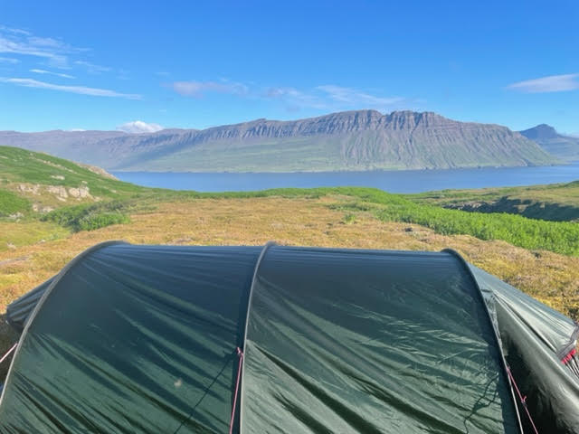
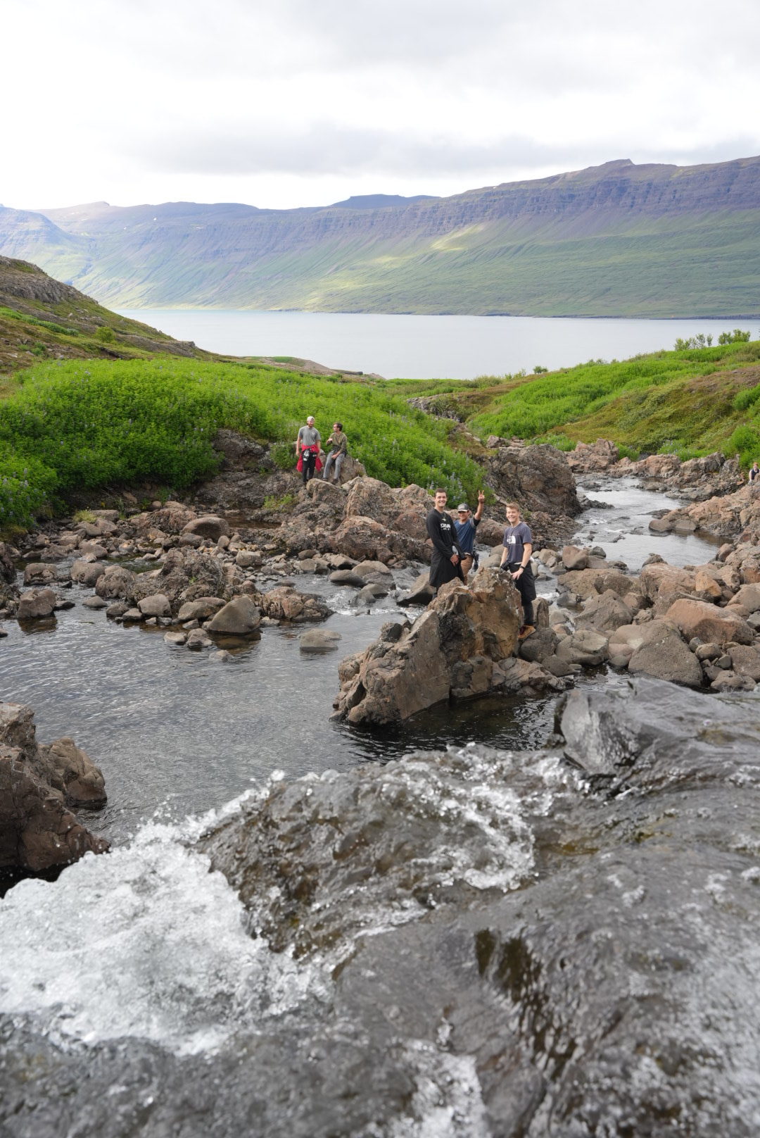
After a busy day of science, a portion of our team hiked up a series of waterfalls to find a peaceful spot to pitch a tent. After setting up camp for the night, we hiked up the mountain until we reached snow. Andrew and I were able to make snow angels in July! After a long hike back, we packed into the tent and called it a night. Soon, we woke to the sound of rushing water and the most beautiful landscape you could wake up to. We headed back to Skalanes to prepare for our day in Seyoisfjorodur
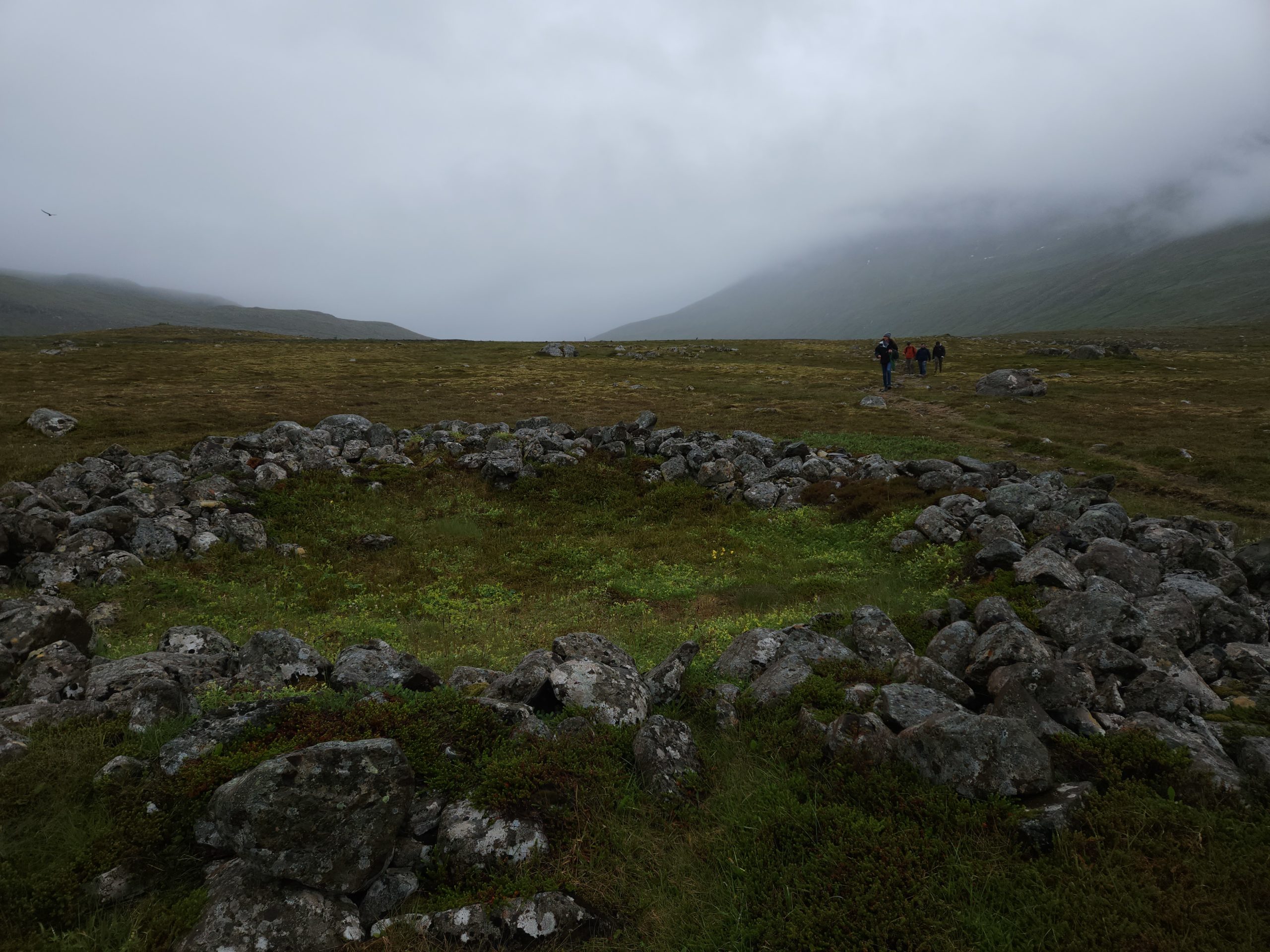
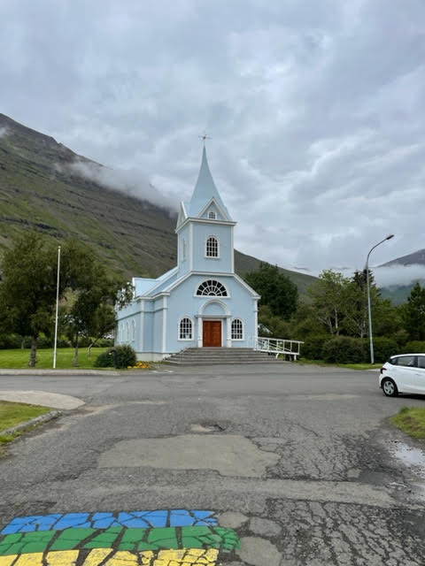
Once we arrived in the 700 person town, Olí gave the entire group a tour of his hometown. We were able to learn its history from the 800’s to present day. Near the end he took us to an archeological site thats excavating a viking longhouse in town. From there, the group was free to roam. Many of us enjoyed local restaurants, churches, and hikes.
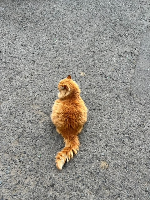
Finally, at the request of Ana, we got to meet Olí’s pets. Her favorite being this big girl, Kottur (meaning cat.) Yes, the cats name is cat. If you’re wondering why he’s so chunky it’s because Olí lives across the street from a food truck and they feed him at the end of the night.
So long, Jacob
Andrew here!
The first full days in Skalanes have been action packed with a lot of flexibility involved. We will be spending the next 11 days here, and we are joining a group of six student from Glasgow, Scotland, who have been working on various projects for the past five weeks, including tracking the arctic foxes in the area and measuring how rising temperatures affect the local seabirds.
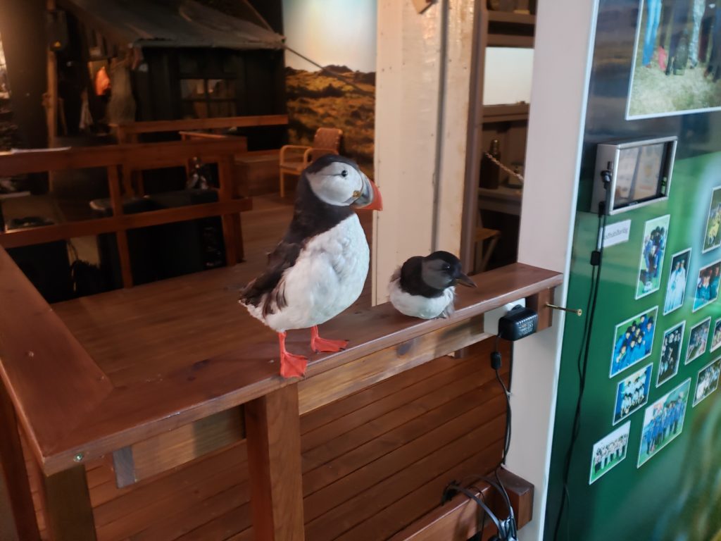
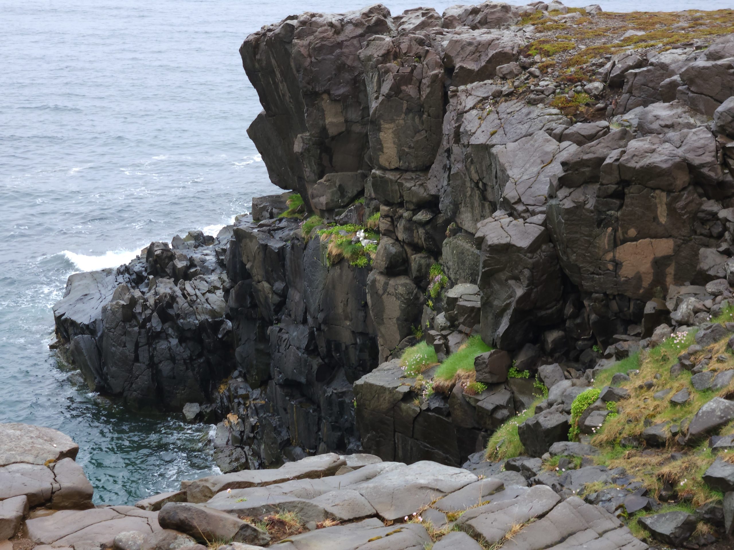
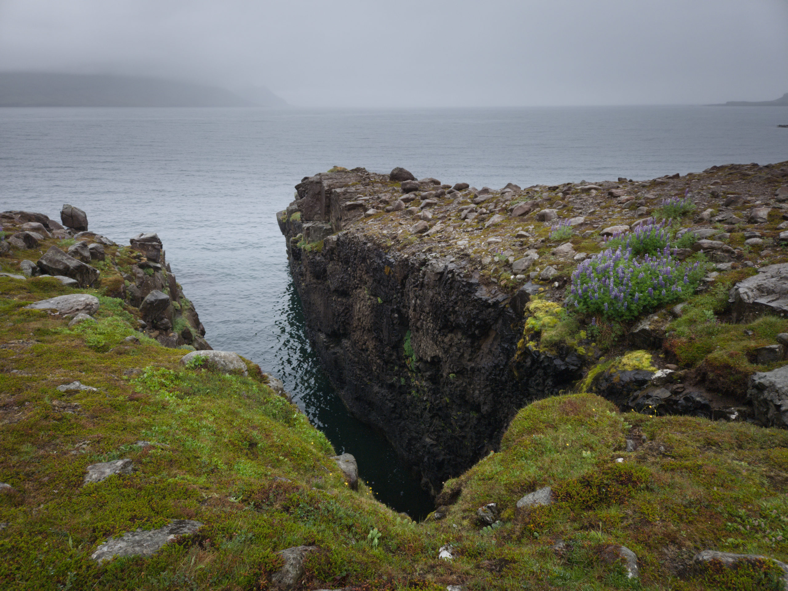
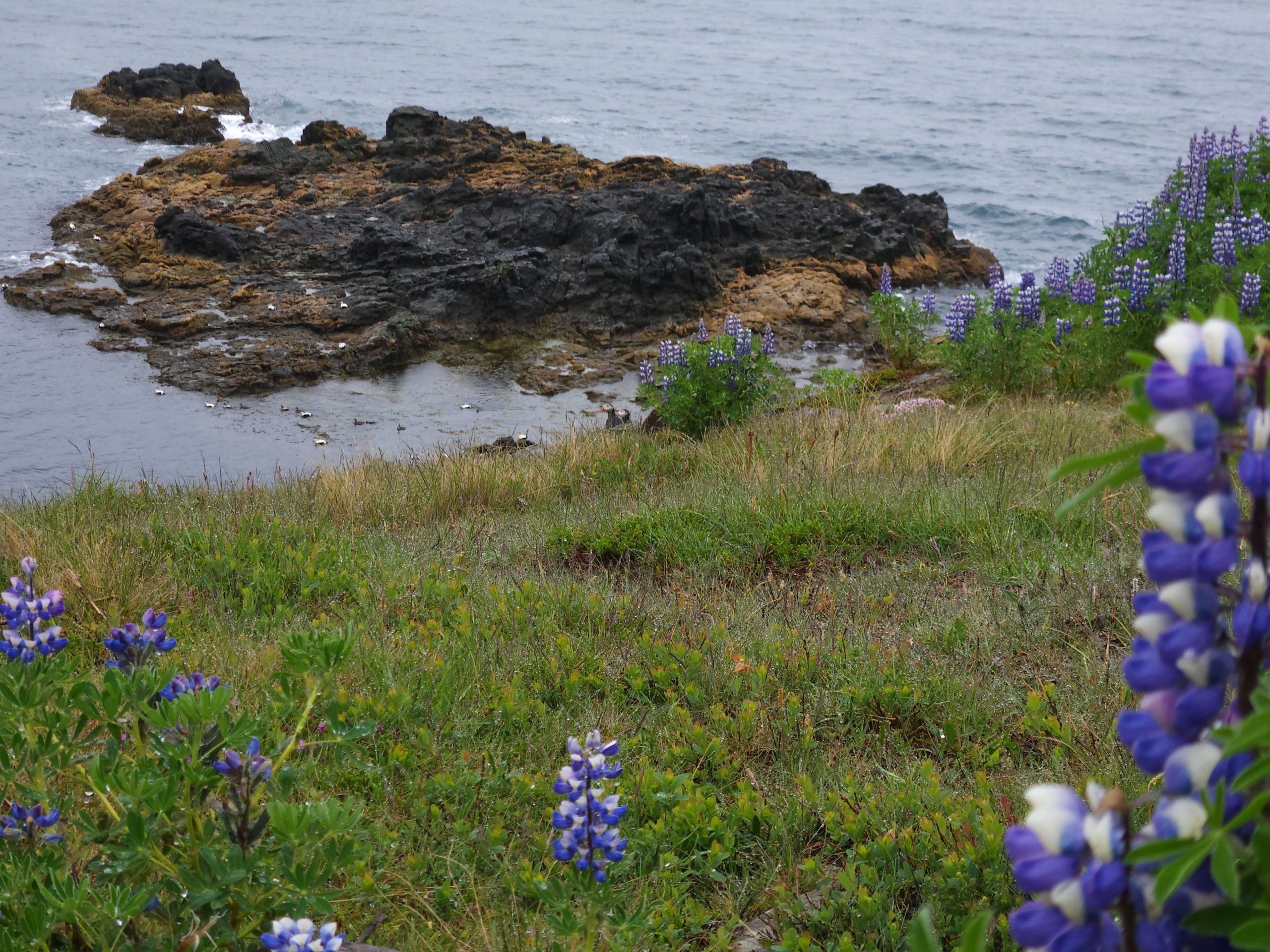
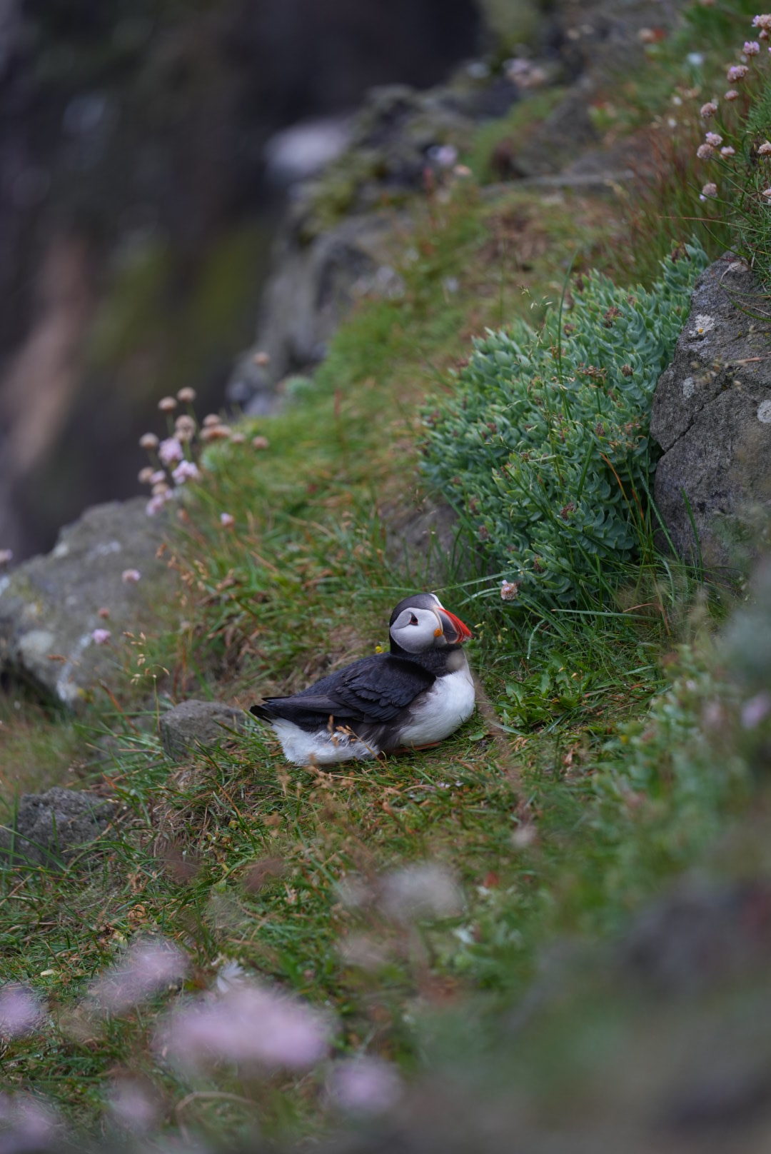
On the first day, we unpacked, organized, and did a bit of hiking. The goal was to get some ground points to measure the accuracy of the digital reconstructions we make with our drones by measuring coordinates at various waterfalls on the Ytri-Sanda, one of the rivers we are going to survey. A secondary goal of the hikes were to explore the area, and see some of the local wildlife, including Puffins!


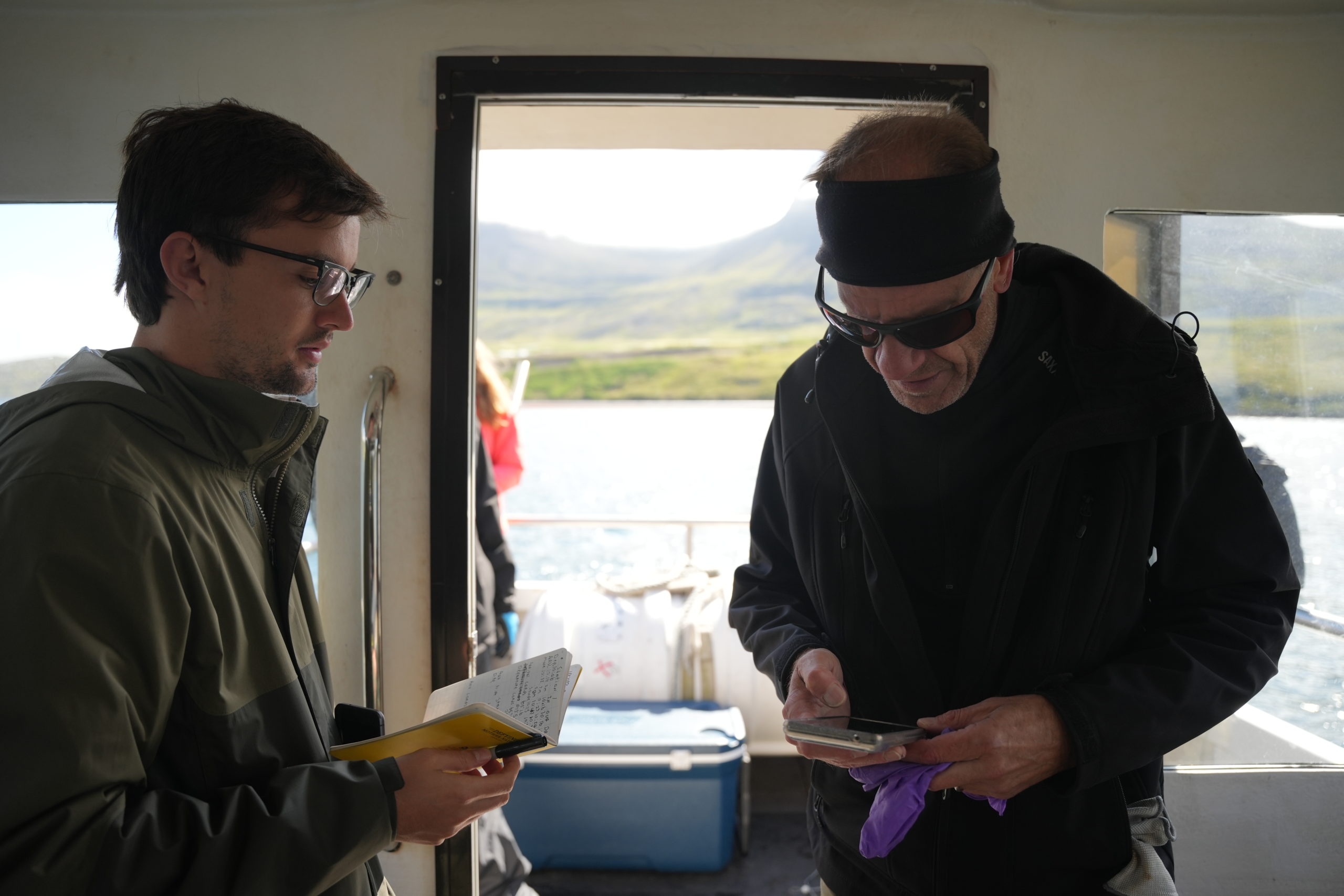
Our second day was spent in seyðisfjörður, gathering water samples. Based on when we could get access to the fishing boat, we ended up taking all of our water samples (and subsequently filtering them) in one day instead of two, and this resulted in a midnight party calibrating the sonde, our water probe.
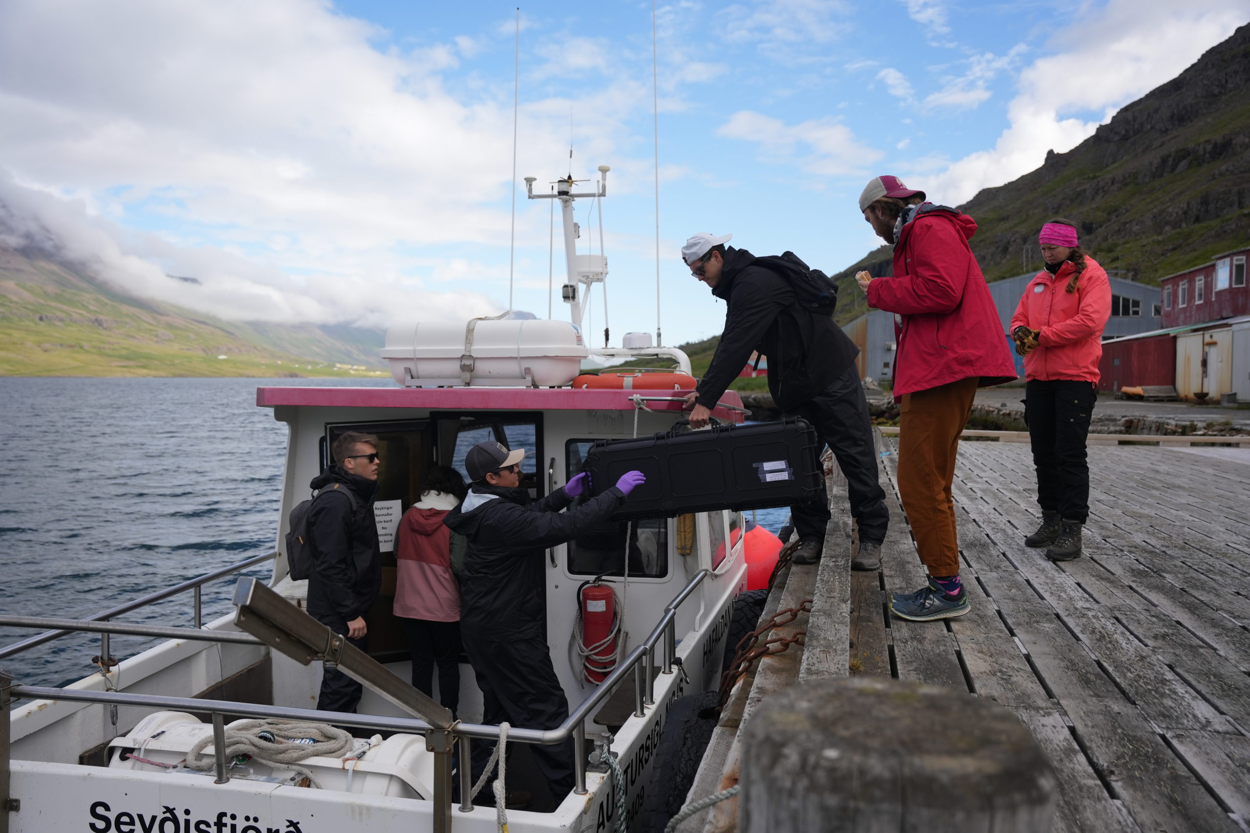
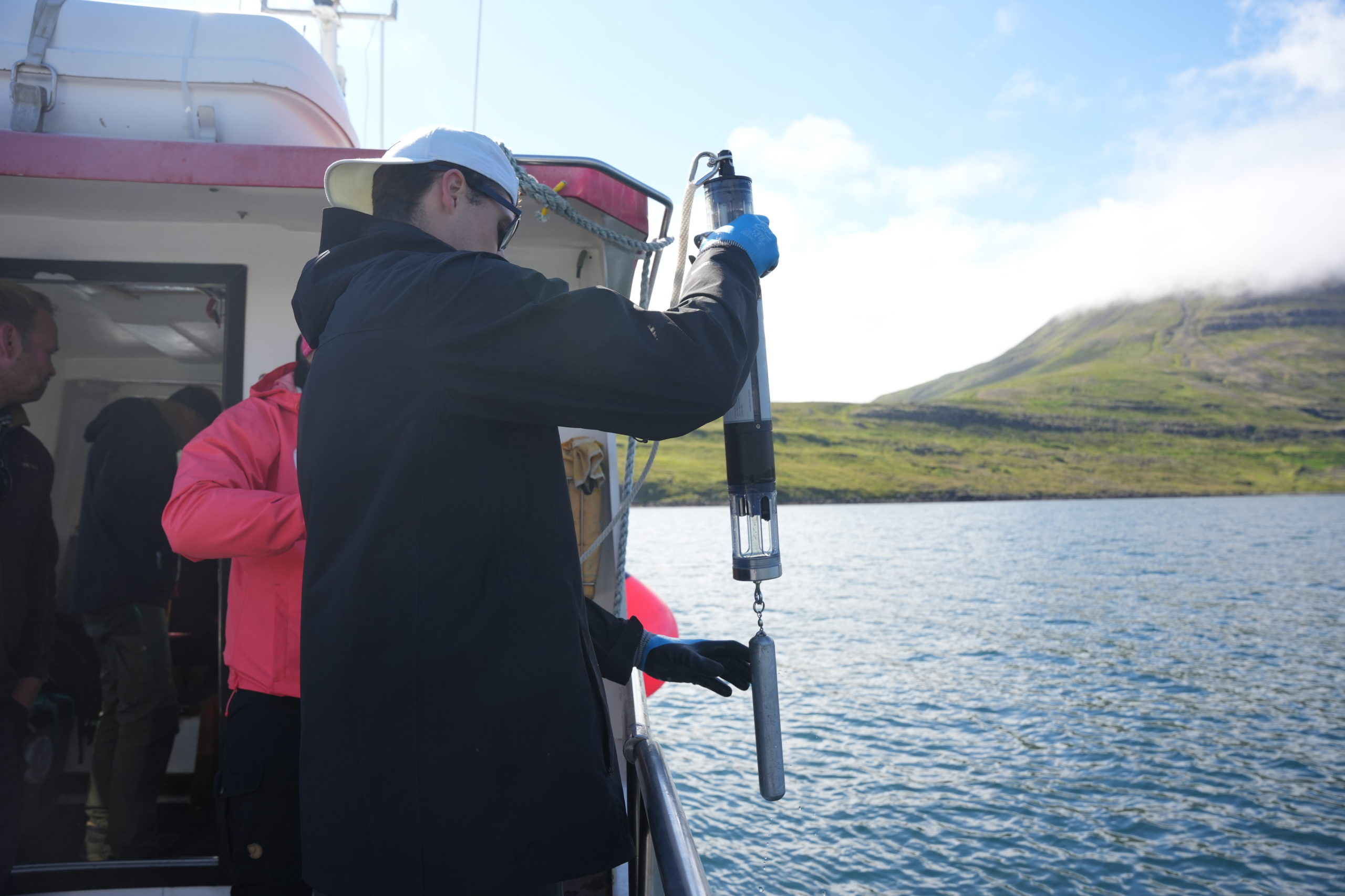
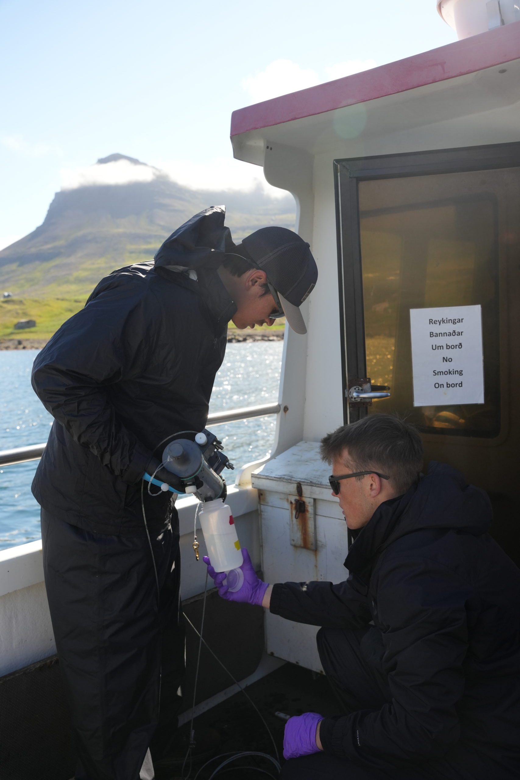
After taking the water samples, we had to quickly get them back on shore in order to filter them before the DNA degraded.
PS: Seth got a speeding ticket 🙂
QOTD: “Your shower status doesn’t concern me that much”
-Andrew