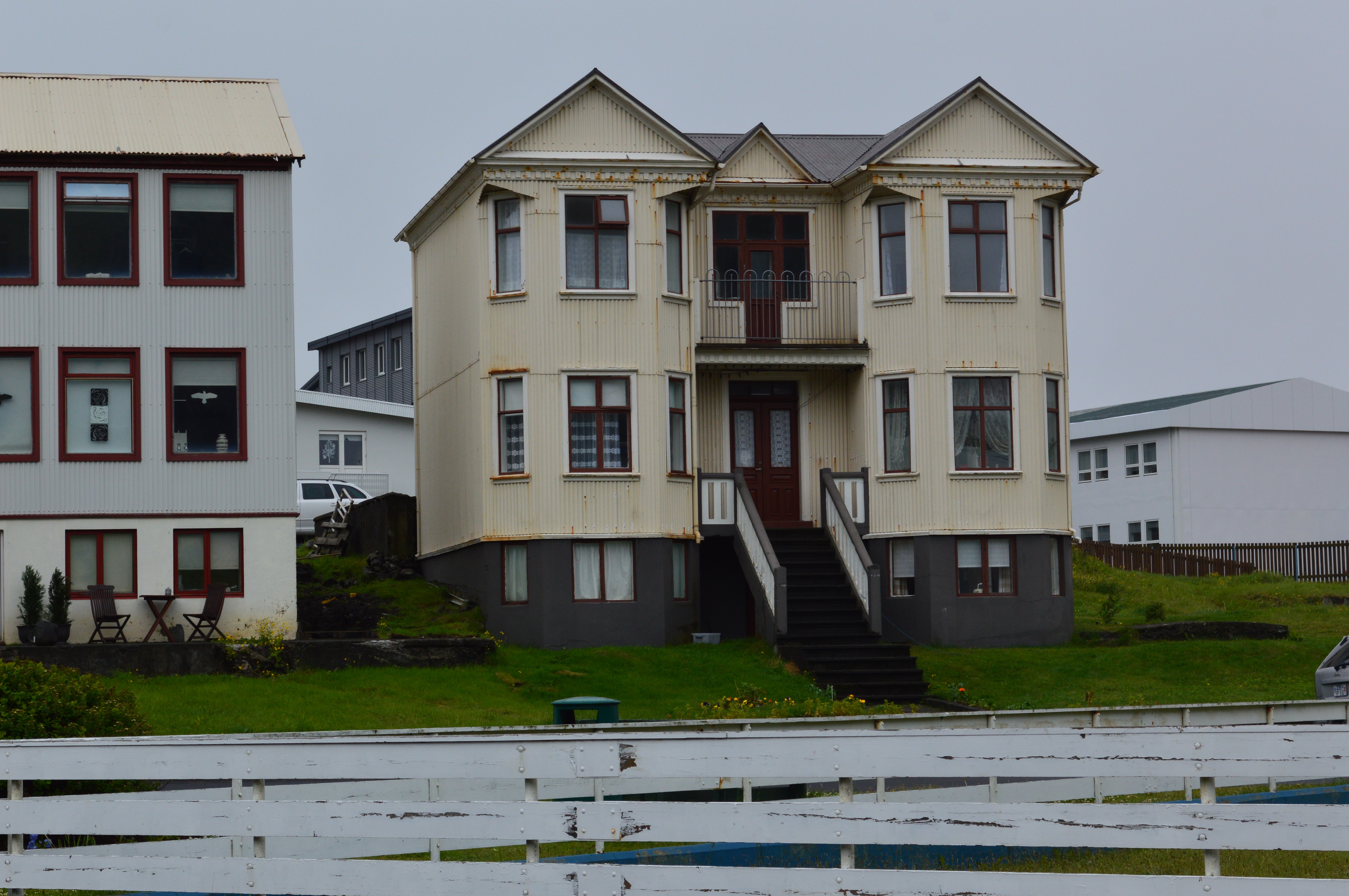
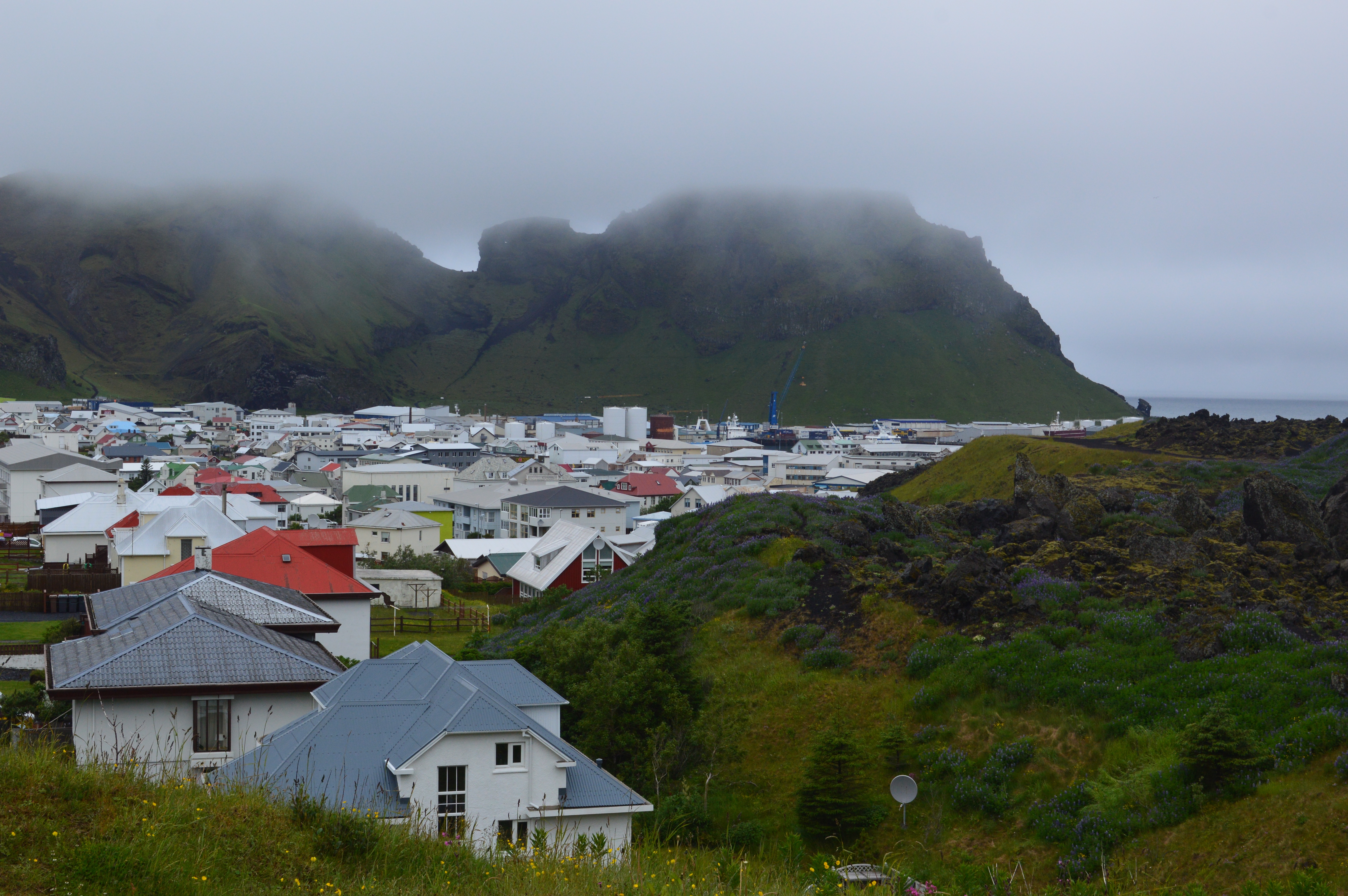
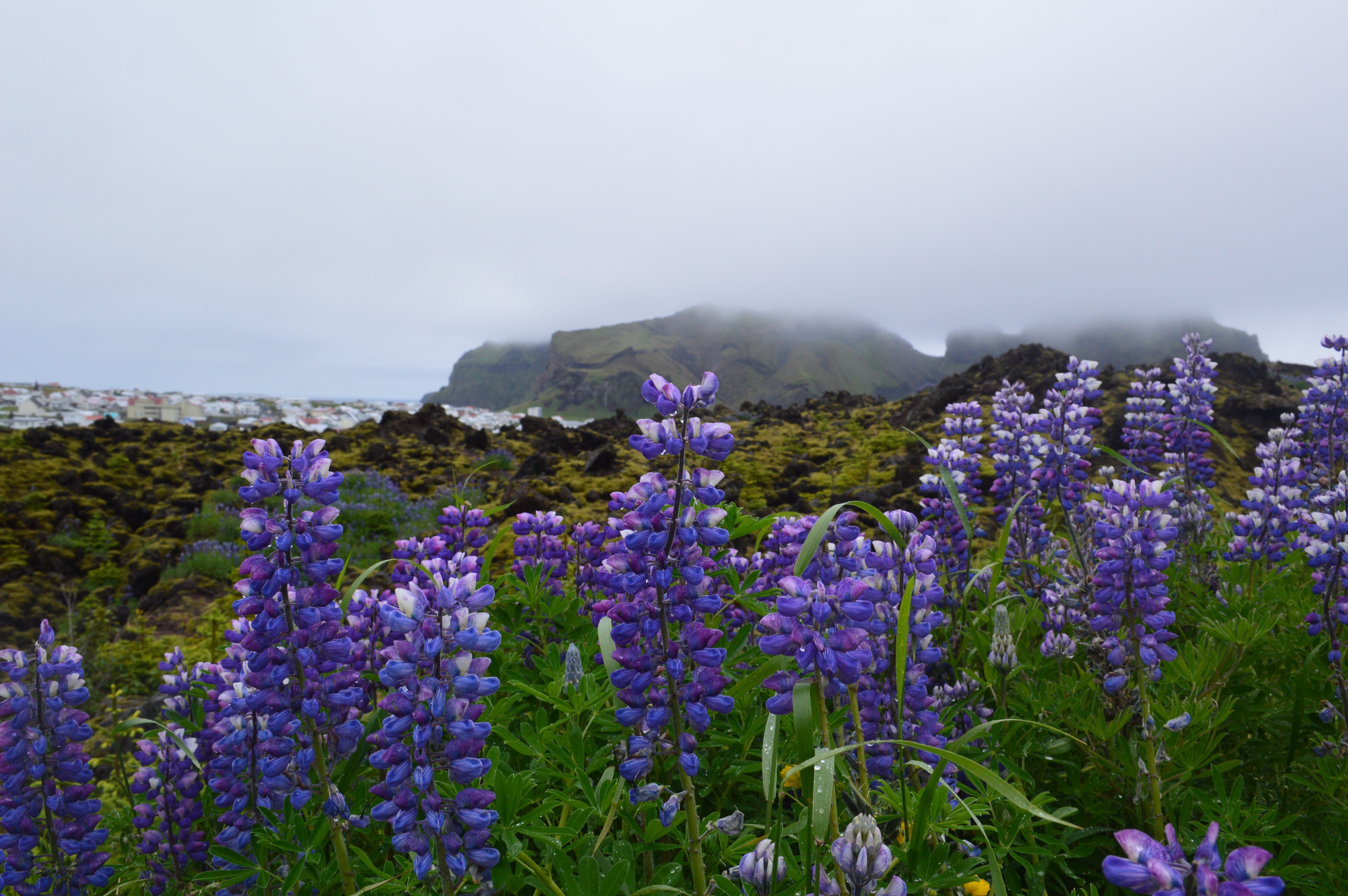
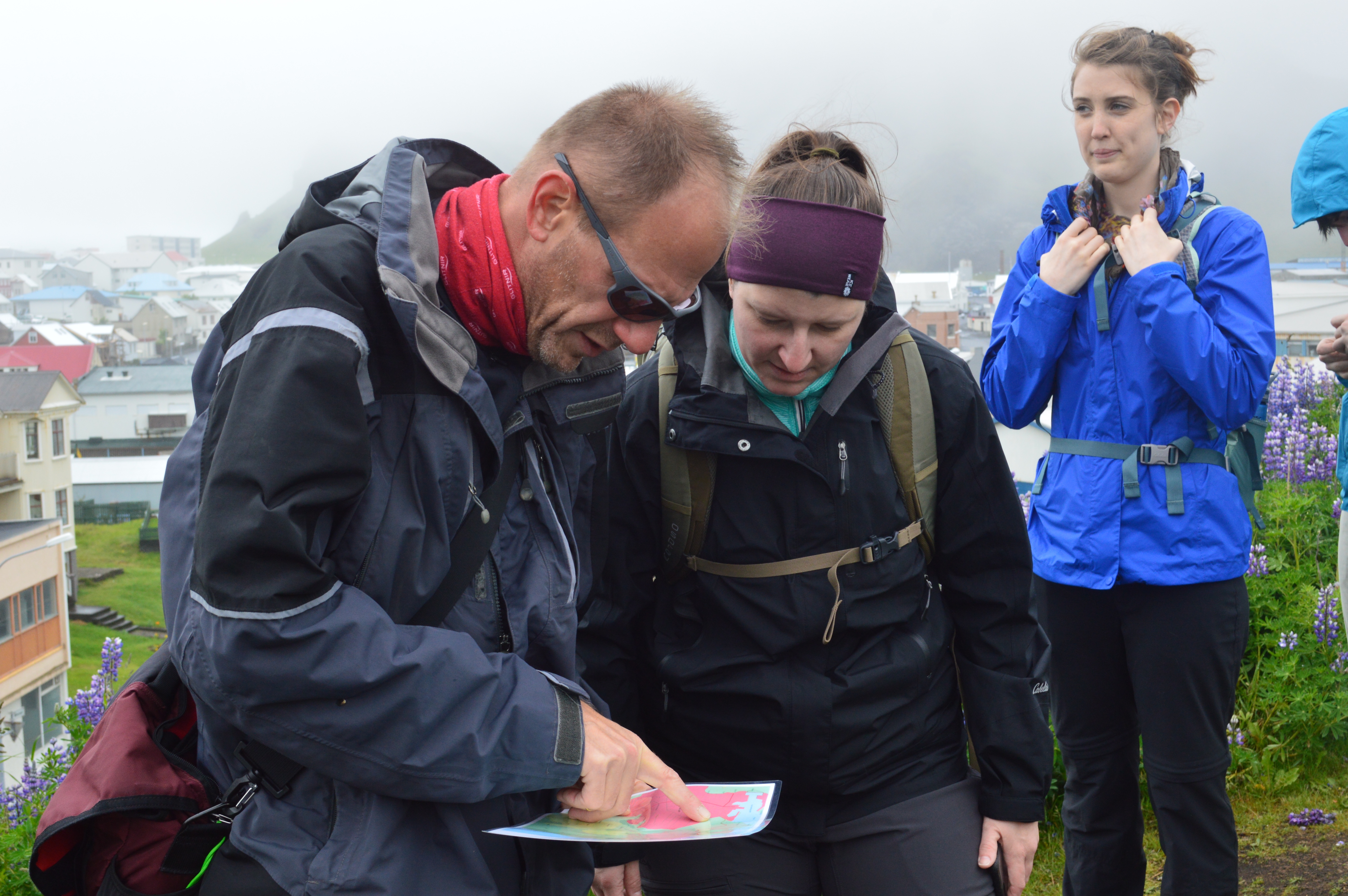
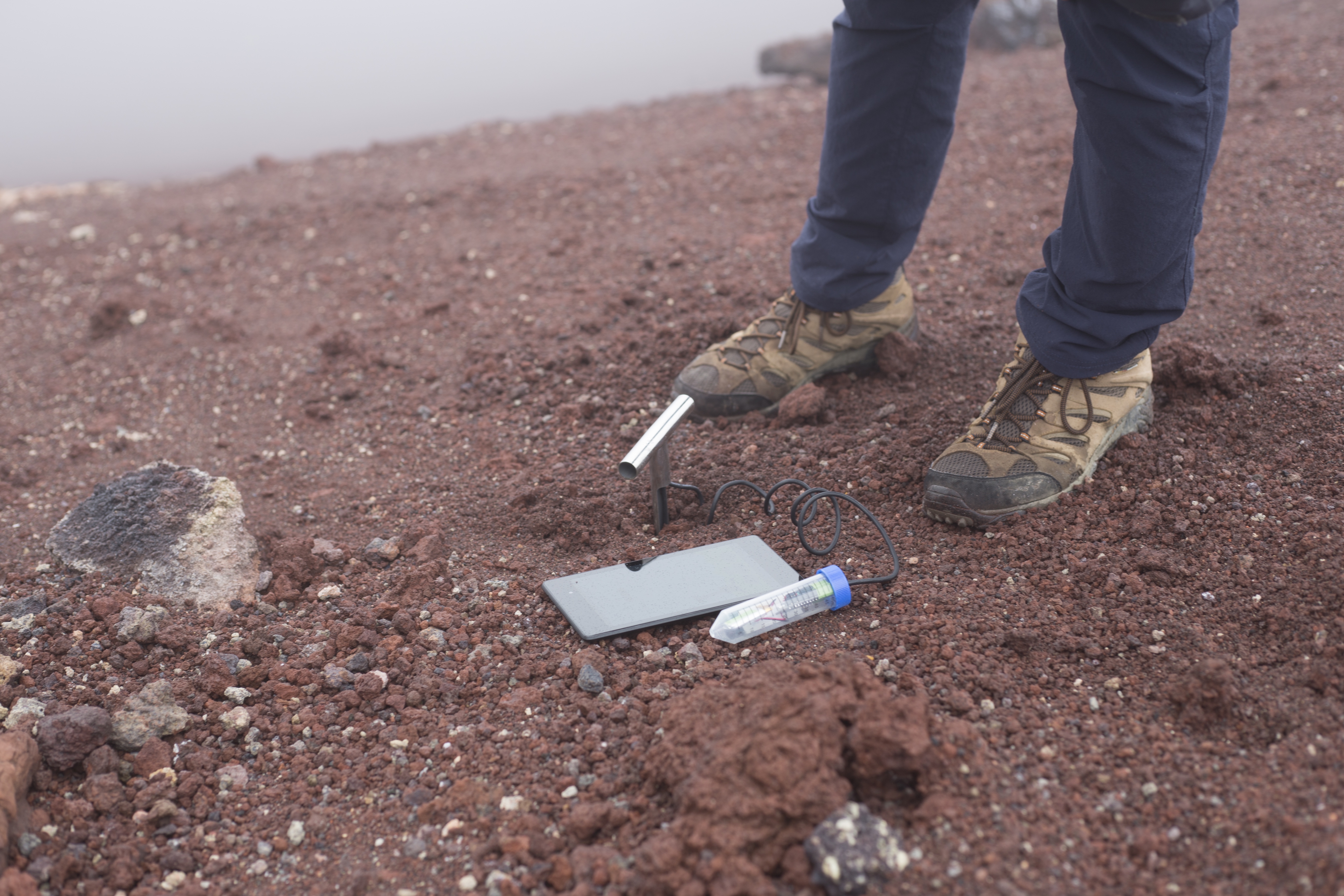
Today we woke up early in order to catch a 9:45am ferry to the island of Heimaey. Fortunately no one got sea sick, granted the ride was only a half an hour in fairly calm waters. Upon arrival we headed to our Airbnb for the night, which is a beautiful house just a few blocks from the harbor. Our hosts were incredibly nice and told us about the local pub and where there are interesting places on the island. Rain and clouds engulfed us all morning so we waited for it to clear up a little. After lunch we geared up and headed to the harbor to start streaming. The clouds hung low over the mountains creating an peaceful atmosphere over the fishing boats. We started streaming a meter above the water and walked from there up the the lava fields. The rocks were covered in moss with lupin stealing space in every crack. We could see where houses use to be before the 1973 eruption of Eldfell. We knew a lot about the eruption from the book Island on Fire which made the hike much more interesting. The hike included some walking along the road and then a steep ascent up the volcano. As we started walking up the wind picked up and blew rain into our faces. The summit was a scree trail which made hiking a bit more difficult. We took altitude, temperature and GPS coordinates at the top and then took our soil samples. We all stuck our hands into the soil on the side of the crater, enjoying the warmth. We took some time on the way down looking at the different rocks. There were red, black, orange, brown and yellow, all of varying textures. We walked back to the harbor to finish streaming and the headed back to our house for the night. We went to the pub our hosts suggested called 900 Grillhús. Here we enjoyed fresh seafood, fish, pizza and burgers which watching some soccer. Our day has finished with some data uploading, tech support and relaxing.


2 Responses
Rannveig Thorhallsdottir
Hey, you have arrived to Iceland, welcome!
Rannveig Thorhallsdottir
P.S. I now have seven aerial photographs of Skalanes from the National Survey of Iceland – (1945, 1971-1994) and I am trying to get SPOT5 satellite photos with red and infrared from them too – hopefully we can get them too:)