Grimsey Island Voyage

with No Comments

Howdy all blog followers, family, friends, and research enthusiasts! Sam here and I am going to be recapping our day out at Grimsey Island.

This morning was an early one as we had a wake up call bright and early at 6 AM. After a quick breakfast, we hit the road to Dalvik so we could catch the ferry. When we arrived in Dalvik, we discussed the main tourist spots and other interesting places to see on the island before we boarded the ferry and set sail at 9 AM. Most of the group collected some Z’s for the first hour of the voyage, but shortly after, the sea had other plans in store for many members of the group. As the sea sickness set in and many breakfasts were reintroduced to the outside world, we journeyed on to Grimsey where we arrived at 12 PM.

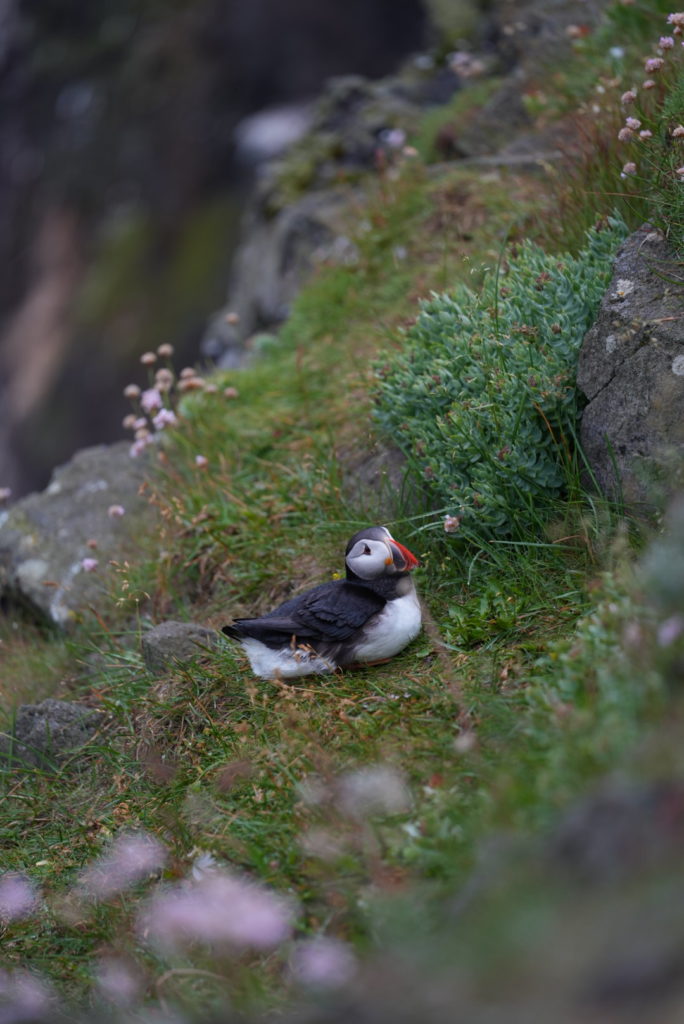
Upon arrival, the group split up and adventured on the island to discover all the cool sights it had to offer. A few of the group members and myself hit golf balls into the ocean at an old, 3-hole golf course, played soccer, shot some hoops at the local school, and even swam in the Arctic Ocean while the rest of the group chose to toss a frisbee at various spots along the island and hike the cliffs ridden with puffins.

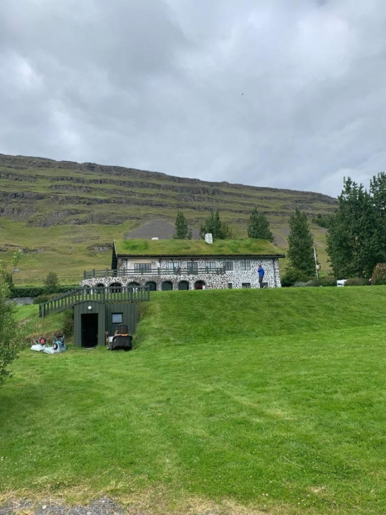
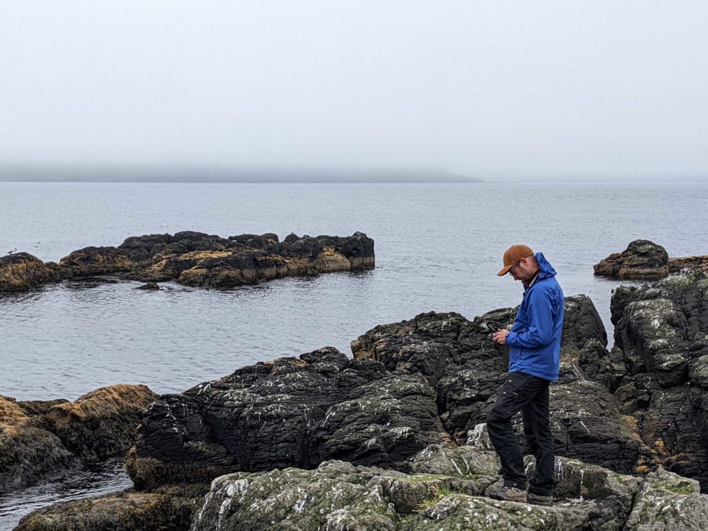
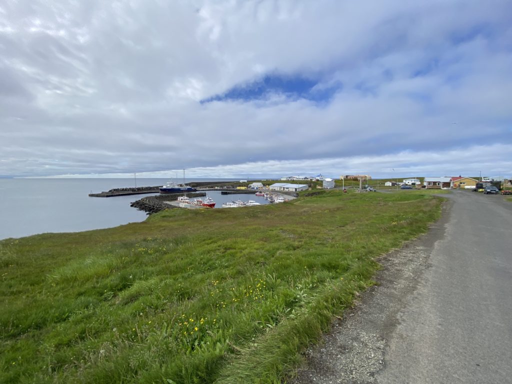
After walking and exploring the island for 4 hours, we boarded the ferry and geared up for the ride back to Dalvik. Someone must have put in a good word with Mother Nature because the ride back was A LOT smoother than the trip to Grimsey. Many of the group took to the main deck at the front of the boat to watch the scenery of the fjord as we slowly made our way towards Dalvik. We were fortunate enough to see many dolphins and even a whale, but we were not able to capture any great footage of them (Sorry!) Instead, below is a picture of Grimsey I took towards the harbor! Tune in tomorrow for the update on our weekend here in Akureyri!
Sightseeing around Lake Myvatn

with No Comments

Hi, this is Emmett S, coming to you live from Akureyri, our new home base.

Today we travelled from Skalanes, the nature reserve on the East Coast, to Akureyri, a large (for Iceland) city on the North Coast. Our route took us into the barren, windswept highlands. Patches of green moss and grass were interspaced with bare, black and brown dirt and rocks. As we drove along, I imagined how hard it was to traverse that landscape with only a trusty steed for company. Being in any fog or mist would be immediately disorienting. There would be nothing to mark your path except stone cairns. It’s no wonder many parts of Iceland were isolated for so long.

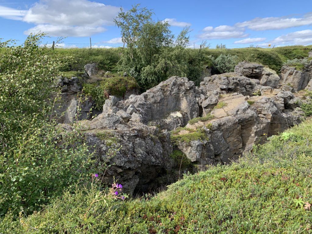
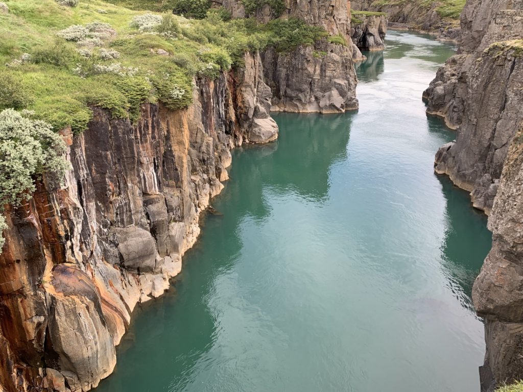
We made a few stops during the day. Our first was at a colorful rock canyon called Moira (not to be confused with Moria from Lord of the Rings).

No retouching of this photo occurred. The water is that color, and the walls are painted by minerals leaching through the porous rocks.

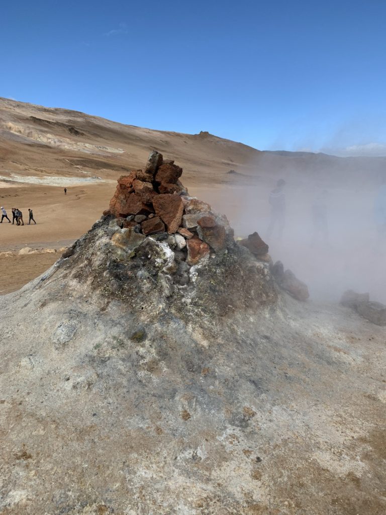
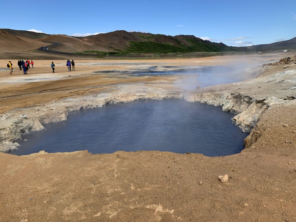
Next we drove to Namafjall Hverir geothermal area, which had hot pots and fumaroles (vents). The area stank of sulfur and the wind was intense. We hopped out of the vans to see a the small vents and bubbling pools, and quickly got back into our vehicles to make a quick trip over the mountain to Lake Myvatn.

A smoking fumarole
A mud pot, boiling away.

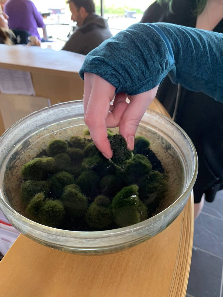
At the lake, we did a short hike into a lava tube that contained hot water suitable for swimming. Then the group split. Most of us went on a longer hike to another lava tube, while a few of us went to Sigurgeir’s Bird Museum where we saw the unique moss balls. We also spotted Horned Grebes, a Red-throated Diver, Velvet Scooters, and a Tufted Duck swimming in Lake Myvatn, along with many other waterfowl we didn’t have time to identify.

Underneath this stone crack is hot water for bathing!
These moss balls, made from the filamentous green algae Aegagropila linnaei, only occur in only two places in the entire world – Lake Akan in Japan, and Lake Myvatn in Iceland. They are thought to form due to the action of the wind on the water.

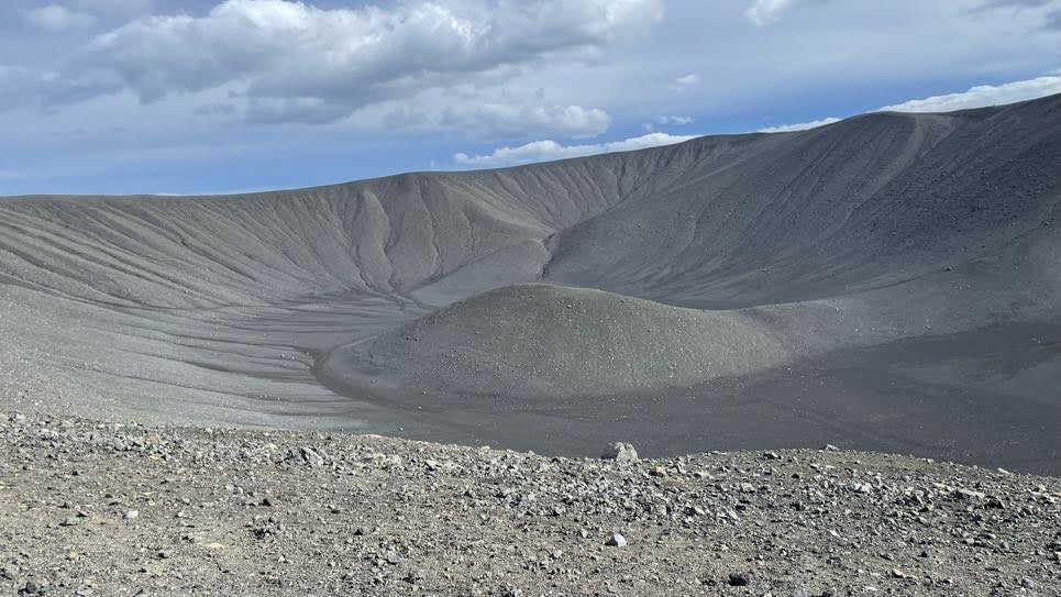
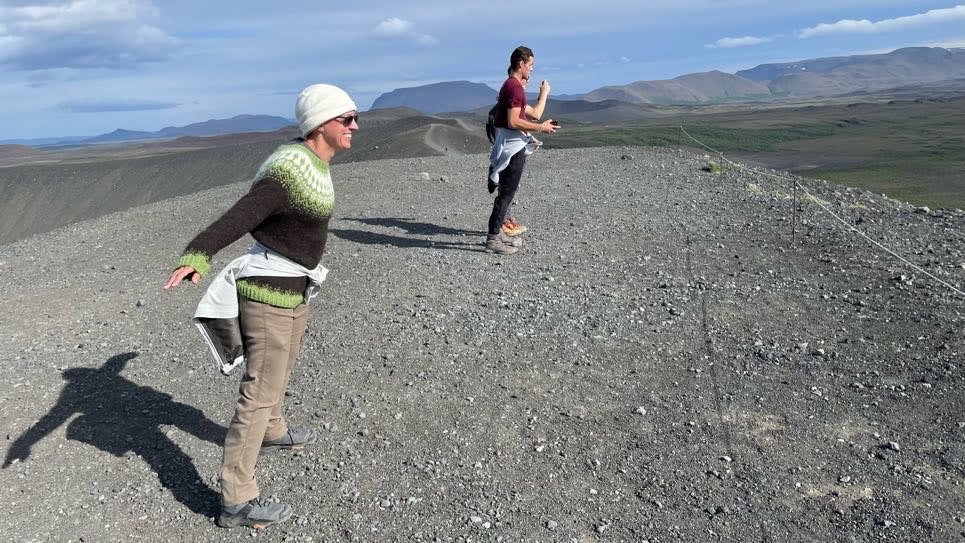
After that, a small group drove ahead to Akureyri to get groceries and make dinner. The rest of the group climbed up to the rim of Hverfjall Caldera, where we were met with lovely views and extremely intense wind. We hiked the entire rim of the caldera, then drove to Akureyri where we had dinner and an early evening. You’ll find out why tomorrow!

The Hverfjall Caldera, from the top. The rim is about 2 miles around.
Leaning into the wind at the top of the caldera.
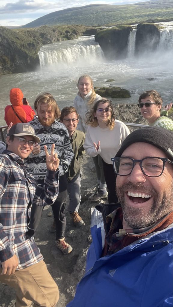
Some of the crew at Godafoss.

Day out 7/26

with No Comments

Hi its Andy!

Today we spent the day away from Skalanes, first we went to a national forrest near Egilsstaðir. We spent about an hour or so exploring, climbing trees, and throwing rocks into the ocean.

After the forrest we went to Gunnar Gunnarssons house where we chowed down on a delicious buffet. Gunnar was a prolific Icelandic writer who built a small estate that today houses a restaurant, cultural center, a museum with virtual reality and an archeology site of an old monastery and church.

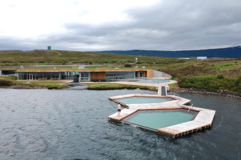
After the museum we went to the Vok baths. The baths had 3 thermal pools which steadily increased in heat, a sauna and the ability to jump in the river and then quickly get back in the warm tub right after. Kate told us that jumping into the freezing cold river and then back into the hot tub 9 times provides special health benefits. Not everyone did it a full 9 times but we all jumped in and took a quick swim at least once or twice. Nobody took their phones past the locker room so I’ll provide this photo from online so you can get a good idea of where we were.

And of course, a picture of Fryir (:

Kayaking and surprise guests

with No Comments

Hi everyone, Ana here,

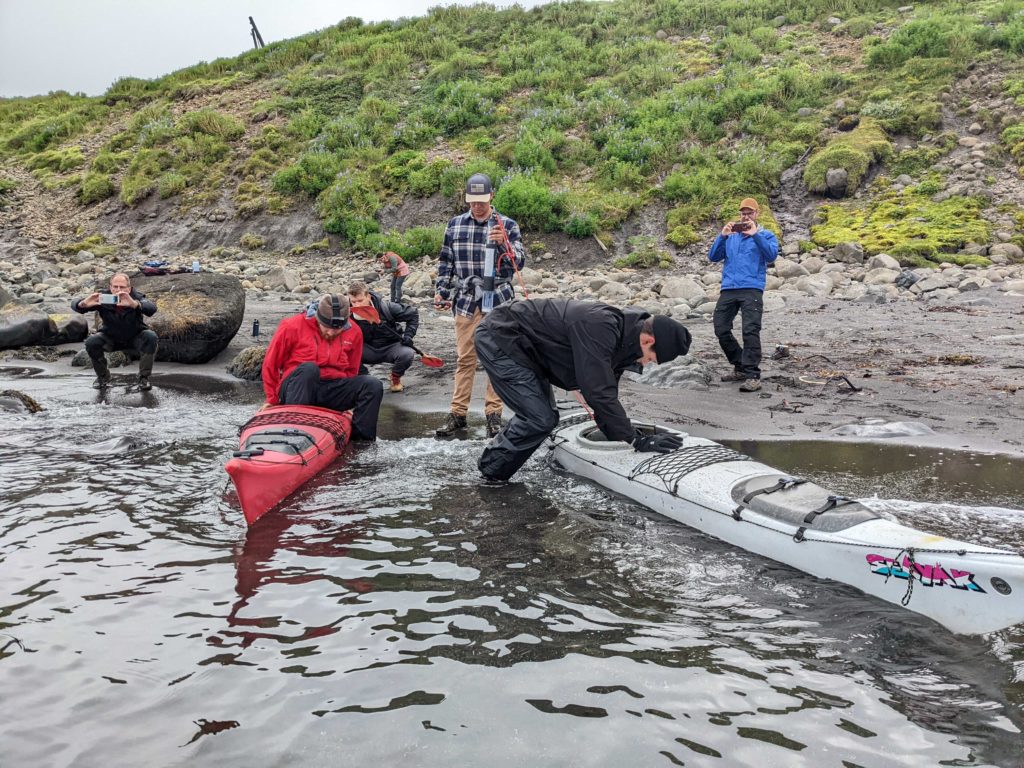
Yesterday was really busy! as our hardworking Bio team continued working on DNA extractions, the rest of us headed to the shore to gather more data. Sam and Andrew did an amazing job collecting water samples from the Fjord, and thanks to them our scientific research is going pretty smoothly!

Getting ready!

Seth and I decided to fly drones above the fjord to capture some kayaking footage, but unfortunately that didn’t go too well. R.I.P Skydio 1 and now 2 (aka Big Bird and Hulk), we will certainly miss you.

Moments after crashing the drone…

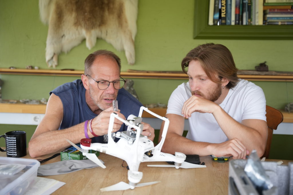
Today has been slightly more relaxed. We walked over to the nearby archeological site and practiced flying the DJI Phantom III. Charlie, Andrew and I spent some time “engineering” and successfully attached a Map IR camera to it.

Charlie and Andrew looking thoughtful

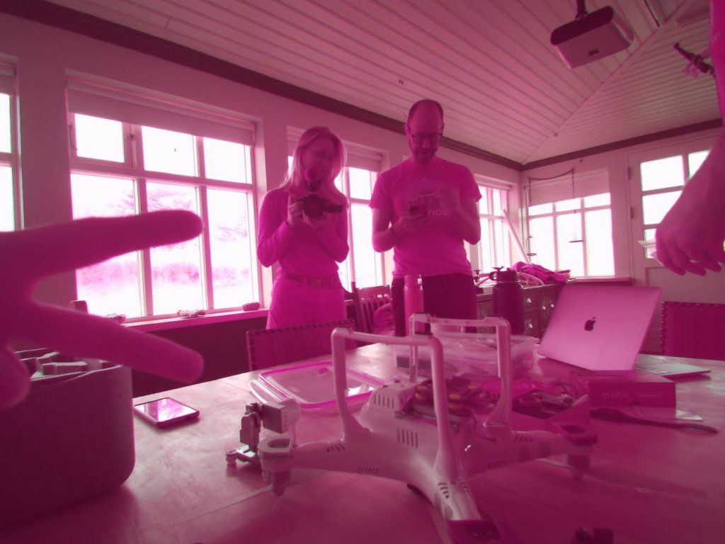
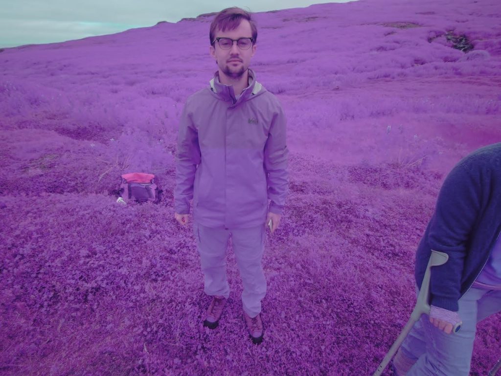
What makes this camera really unique, is that it is able to capture infrared wavelengths invisible to the human eye. This is especially important for our work as it allows us to detect the differences between the chemical composition of soil under plants. The Map IR proved equally important in helping Andrew discover his secret talent in Photography:

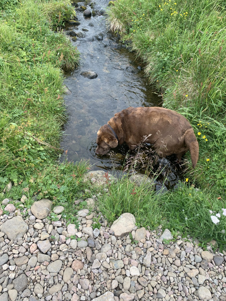
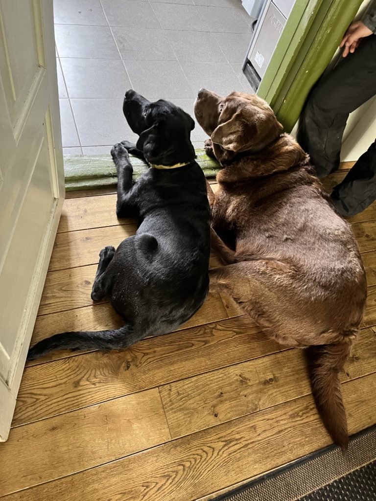
As for our surprise guests, we got to meet Olí ‘s dogs! Here are Fyrir and Brandur!

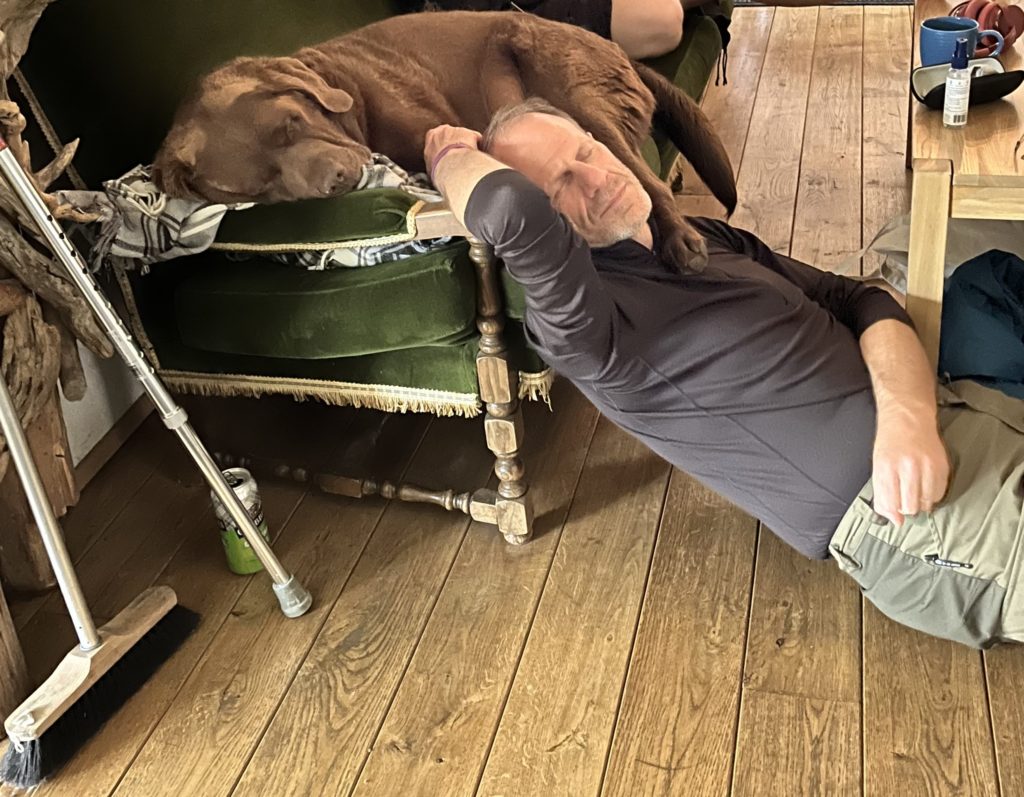
We’ll get to hang out with Fyrir a lot more as he will be staying in Skalanes for the next few days. Enjoy this wholesome picture of him and Charlie napping together 🙂

~ Ana

Camping and Seyoisfjorodur

with No Comments

Hey everyone, Jacob here,

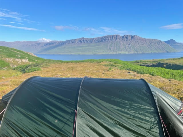
After a busy day of science, a portion of our team hiked up a series of waterfalls to find a peaceful spot to pitch a tent. After setting up camp for the night, we hiked up the mountain until we reached snow. Andrew and I were able to make snow angels in July! After a long hike back, we packed into the tent and called it a night. Soon, we woke to the sound of rushing water and the most beautiful landscape you could wake up to. We headed back to Skalanes to prepare for our day in Seyoisfjorodur

The beautiful view we woke to early in the morning

Once we arrived in the 700 person town, Olí gave the entire group a tour of his hometown. We were able to learn its history from the 800’s to present day. Near the end he took us to an archeological site thats excavating a viking longhouse in town. From there, the group was free to roam. Many of us enjoyed local restaurants, churches, and hikes.

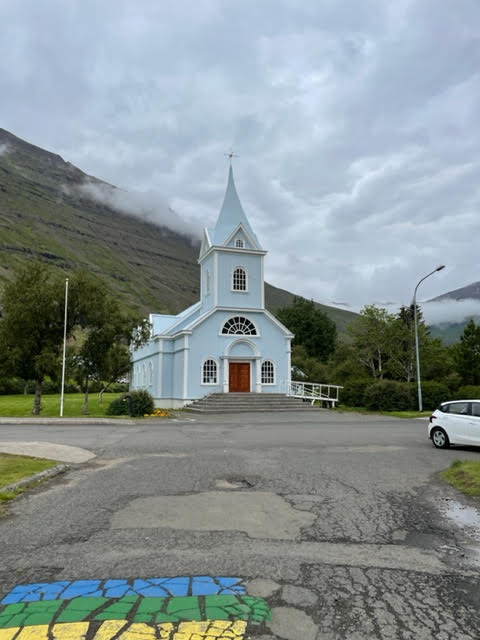
This blue church was imported from Norway. The color has no significance, but was absolutely beautiful on the inside and outside

Finally, at the request of Ana, we got to meet Olí’s pets. Her favorite being this big girl, Kottur (meaning cat.) Yes, the cats name is cat. If you’re wondering why he’s so chunky it’s because Olí lives across the street from a food truck and they feed him at the end of the night.

Look at her chunk

So long, Jacob

Getting Busy in Skalanes!

with No Comments

Andrew here!

The first full days in Skalanes have been action packed with a lot of flexibility involved. We will be spending the next 11 days here, and we are joining a group of six student from Glasgow, Scotland, who have been working on various projects for the past five weeks, including tracking the arctic foxes in the area and measuring how rising temperatures affect the local seabirds.

This is the farmhouse at Skalanes, home for the next week and a half!

On the first day, we unpacked, organized, and did a bit of hiking. The goal was to get some ground points to measure the accuracy of the digital reconstructions we make with our drones by measuring coordinates at various waterfalls on the Ytri-Sanda, one of the rivers we are going to survey. A secondary goal of the hikes were to explore the area, and see some of the local wildlife, including Puffins!

Ethan is using the Nomad (super-accurate GPS) to get our exact coordinates and altitude at the top and bottom of each waterfall

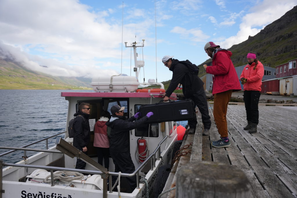
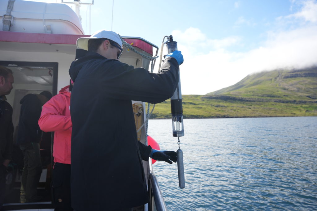
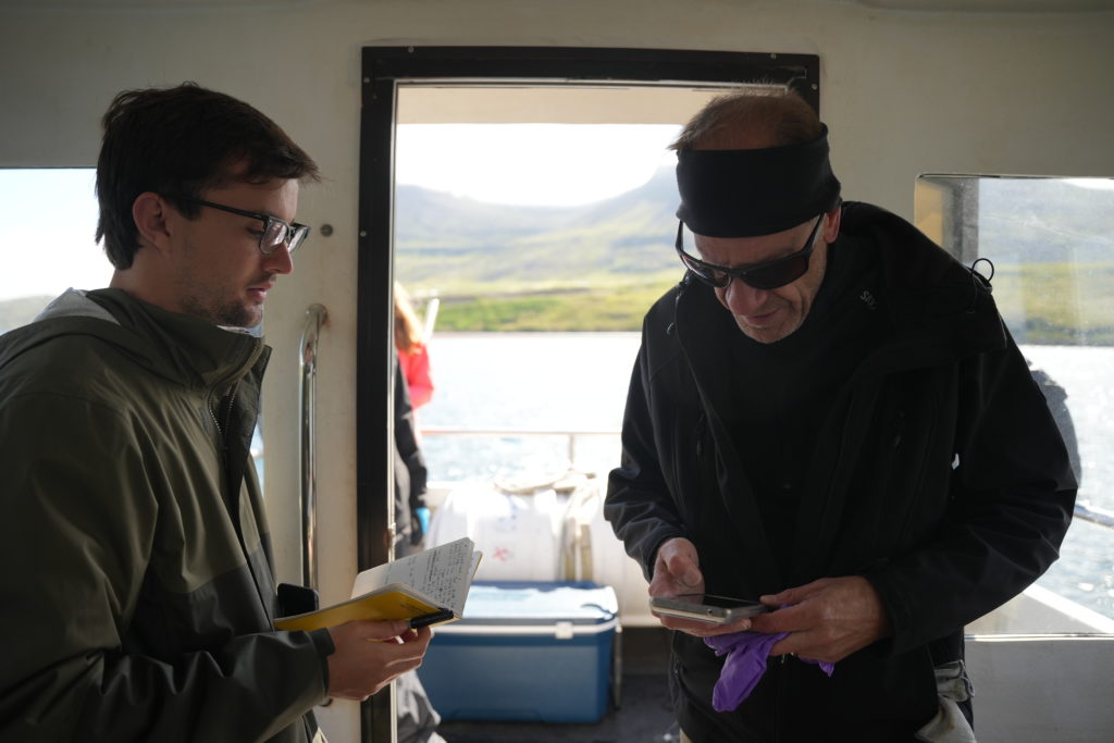
Our second day was spent in seyðisfjörður, gathering water samples. Based on when we could get access to the fishing boat, we ended up taking all of our water samples (and subsequently filtering them) in one day instead of two, and this resulted in a midnight party calibrating the sonde, our water probe.

Loading the Sonde onto the 30m fishing boat
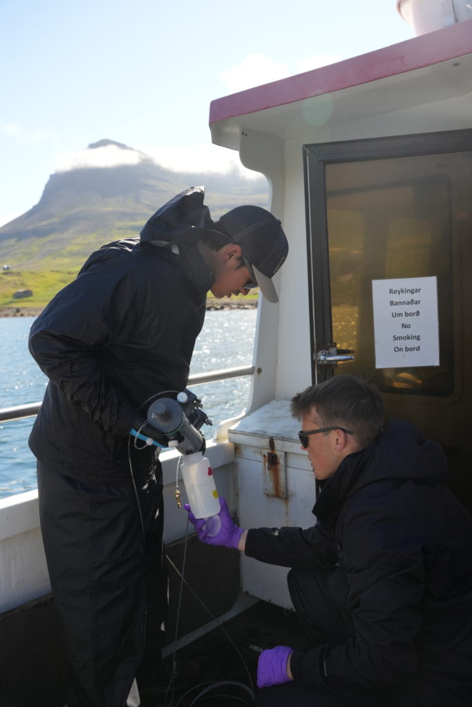
Sam preparing to take data from water using the Sonde (Oxygen saturation, pH, etc)
Ethan and Jacob taking a water sample from the Fjord
Charlie and Andy <3
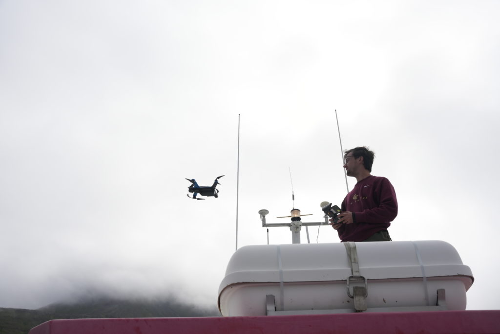
Andy flying the drone from ON TOP OF the boat!

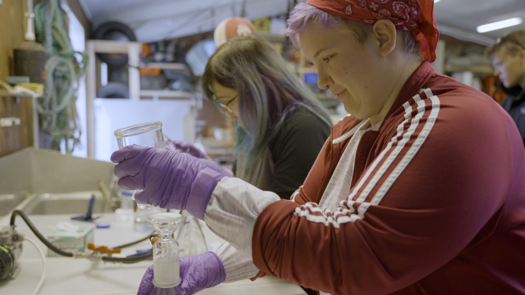
After taking the water samples, we had to quickly get them back on shore in order to filter them before the DNA degraded.

Emmett and Sabine filtering the DNA (and being troopers–they stayed until 7 PM!)

PS: Seth got a speeding ticket 🙂

QOTD: “Your shower status doesn’t concern me that much”

-Andrew

Trip to Klauster, then off to Skalanes!

with No Comments

Ethan here!

Today’s blog post will encompass both today, and yesterday’s adventures!

Yesterday was our trip to Klauster. We started at a museum where we saw a documentary detailing how travel around the island was orchestrated in the 50s and 60s. It was done mostly by horseback, even when the first car on the island was used there were no roads; it often got stuck and then had to be dragged out by horses! The museum also detailed the various mosses that we see covering almost all of the island!

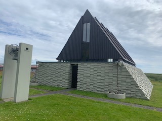
A tribute to the original church of the heroic priest, Jon Steingrimsson. It contains a beam and even an altar from the original church!

Our second stop yesterday was a visit to the church built in memory Jon Steingrimsson’s church, who’s story was detailed in our summer reading before coming here, Island on Fire. During the eruption of Laki in 1783, lava was bound to surround and engulf the town. The people of the town all sheltered in Jon’s church, and after his powerful sermon and prayers from all the townsfolk, the lava changed directions and was extinguished by the river on the other side of the town!

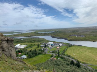
The river on the other side of the town can be seen here from atop the mountain that the lava went around, nearly engulfing the whole town.

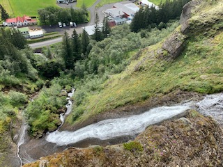
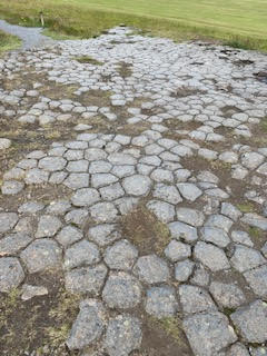
The hike we took to get that shot of the town had a really neat waterfall that we were able to get to the top of, and even drink out of! The end of the hike also had the tops of columnar basalt that you could walk on, as opposed to the sides of them that we saw yesterday.

This is the base of the waterfall, the beginning of our hike.
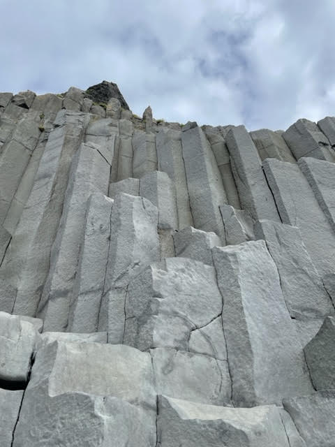
Here is a shot of the columnar basalt referred to as “The Church Floor”!

Today’s trip, however, was less exciting, but there is so much to look forward to! We left Vik and arrived to Skalanes after a short… 8 hour drive. We took many breaks along the way in small towns, as well as the ice lagoon to break up the drive and make it a bit more manageable!

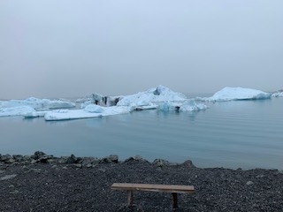
The ice in this river is from the glacier just up stream, it was a very foggy day! The ice that has not been exposed to much sun stays a beautiful bright blue, so the recently broken chunks of ice make for a great view!

– Ethan

Solo pt. 2

with No Comments

Jacob here!

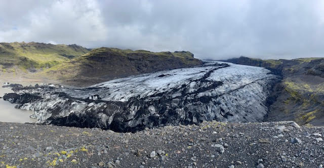
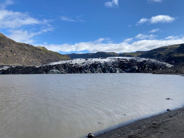
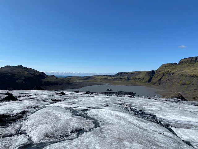
Following a first successful day of drone flying, the team once again set out to cover more ground on the glacier. A team of two hiked up the glacier to set ground points which include the GPS coordinates, height, and more. The other team hiked a near mountain and flew the drones over the glacier to capture video of the ground points. Following this, we hiked back down and met at the lagoon created by glacial runoff. We once again sent out the drones to capture more data.

Above is a beautiful image of Solo from the mountain the drone team set up base!

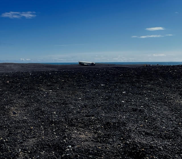
Following another successful day of flying, a large group traveled just down the road in Vik to hike out to a crashed DC3 airplane. The plane crashed landed in 1973 after running out of fuel. Only later was it discovered that the pilot made a mistake and switched to an empty fuel tank. The crash ended with zero casualties

Wrecked DC3 in Vik

Finally, we visited the black sand beach in Vik. The beach features columnar basalt. The rocks are formed from magma solidification and cooling. This has become a popular spot full of others. Its also hosts a family of puffins!

-Jacob

Drone Surveying Day 1 on Sólheimajökull glacier

with No Comments

Hey everyone! This is Sam and I am going to be highlighting our day on the Sólheimajökull glacier today.

This morning was an early one for the group as we ate breakfast at 06:15 and packed up our belongings before leaving the hostel in Reykjavik. We hit the road to Sólheimajökull shortly after 07:00 and began to prepare for the long day on the glacier doing drone surveying. With the help of our awesome tour guides Oddur and Gumi, we were able to conduct our long anticipated plan of collecting thousands of drone images of the glacier snout in order to construct a 3D model that can be compared with less accurate satellite imaging to understand how the glacier is continuing to melt. We are the first group of researchers ever to have done this type of surveying on Sólheimajökull, and we hope that this method is sufficient in providing us enough data to continue in the coming years here in Iceland.

After a 6 hour survey session and 10 plus kilometers hiked on the glacier, the group departed and settled into the Puffin Hostel in Vik. We are all pretty wiped from the hike and expect to return to the glacier tomorrow bright and early to continue our drone surveying. Overall, 15/10 day for all!

-Sam

Day 2 7/12

with No Comments

Hi all! Andy here!

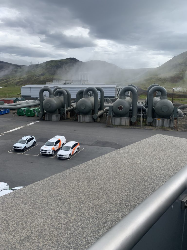
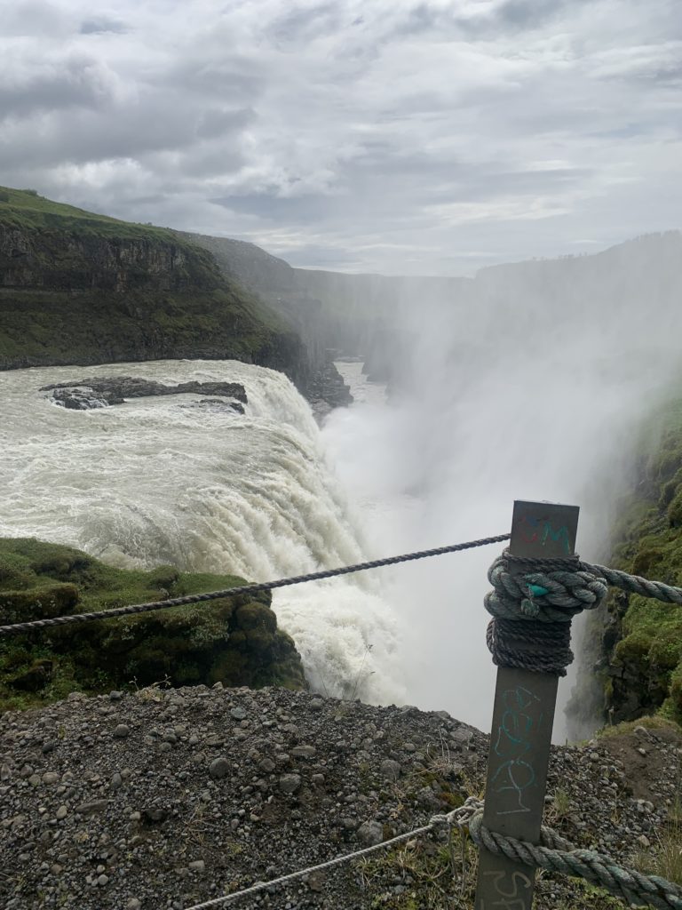
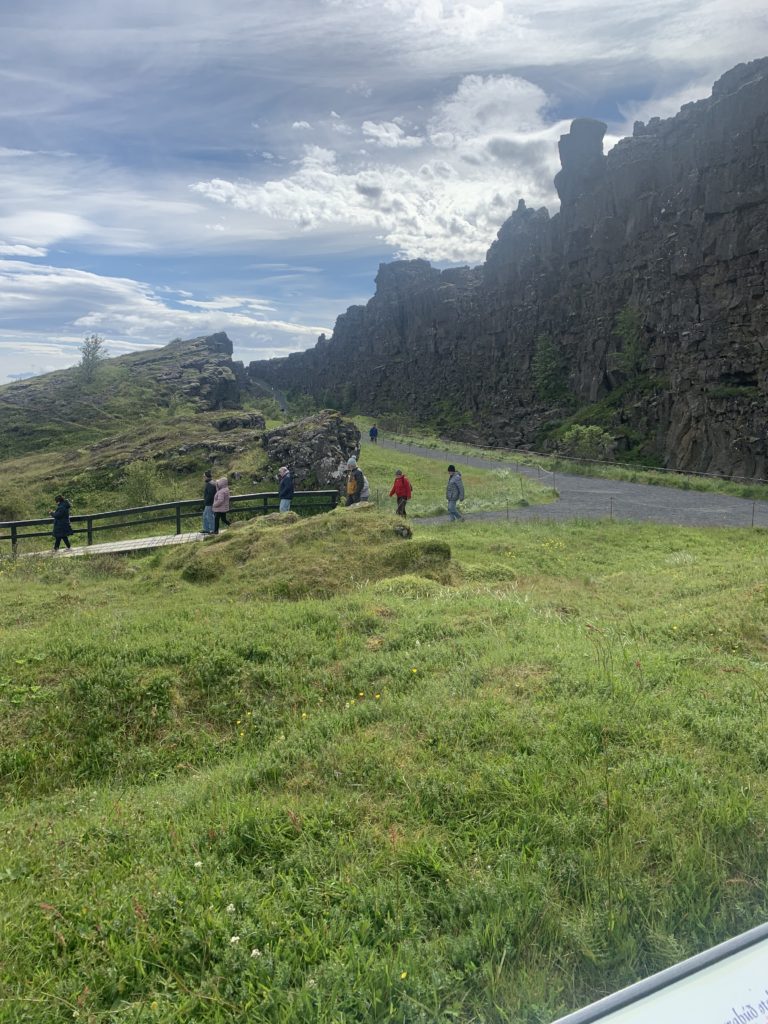
Today we had the opportunity to sleep in and catch up on much needed rest. We got out of the hostel and headed to Hellisheidi geothermal power plant. There was a guided tour lead by Chris who was incredibly knowledgeable and gave us a lot of good info on both the technical side and what was going on around the plant. There was two start ups right outside, one was creating algae using the resources from the plant. The other one was using carbon capture to take carbon from the atmosphere and inject it back into the ground where it is going to turn back into rock. They were currently the biggest one in the world but, had plans to expand 10 fold. The plant was currently using grant money but in the future will using carbon tax credits will become profitable. The next place we went was Gullfoss which was a waterfall about an hour away. The views were super scenic and we were able to walk right up close to the edge. The water has some pretty intense flow. Afterwards we went to the Althing which is a historic site in Iceland. Im sure I’m going to forget some of the major events that have happened, some of them are, the signing of Icelands independence, the location of the first ever parliament and where Iceland decided to become Christian. It was selected because it had a megaphone effect and freshwater nearby. Everyone seemed to have a great time but got back to the hostel pretty tired and wanting to rest for the next day on the glacier.
– Andy

Hellsheidi

Gullfoss

Allthing

1 2