Highlights of an amazing trip

with No Comments

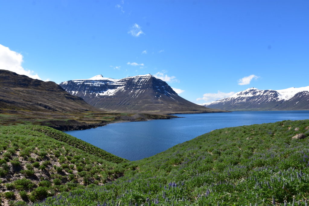
Today is the last day most of us are in Iceland for this trip. As I started this post, we were completing a tour of the Golden Circle after a few days in beautiful Reyjkavik. Now we are preparing for departure.
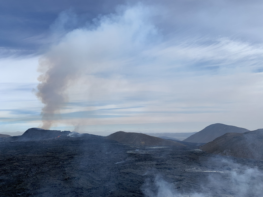
Our view of the volcano

I wanted to post some of the highlights of our trip. There’s a rough order to them, but don’t take the numbering too seriously – it’s been a great experience all-around. Without further ado:

  1. The volcano is truly incredible. It was not uncommon for people to spontaneously shout “Wow!” and “Oh my god!” as the lava burst up from the ground.
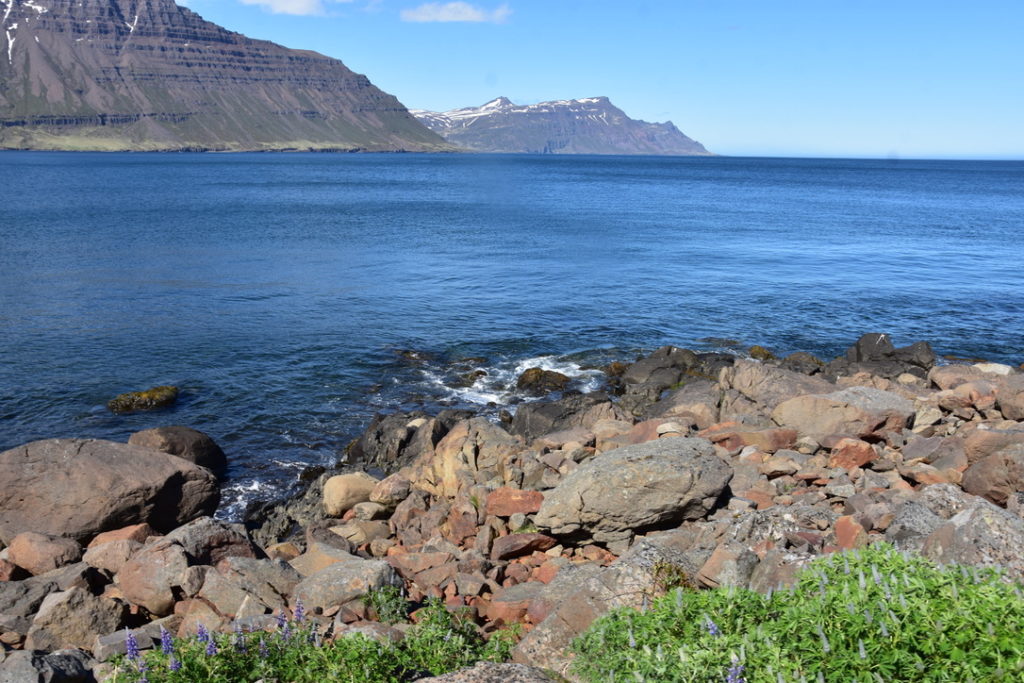
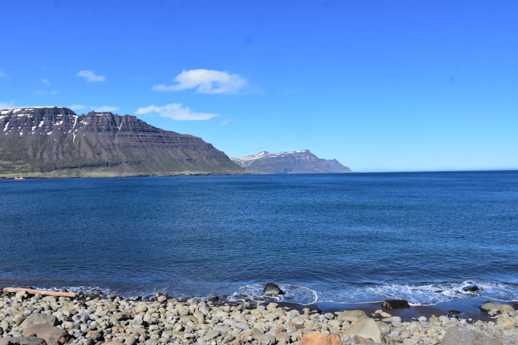
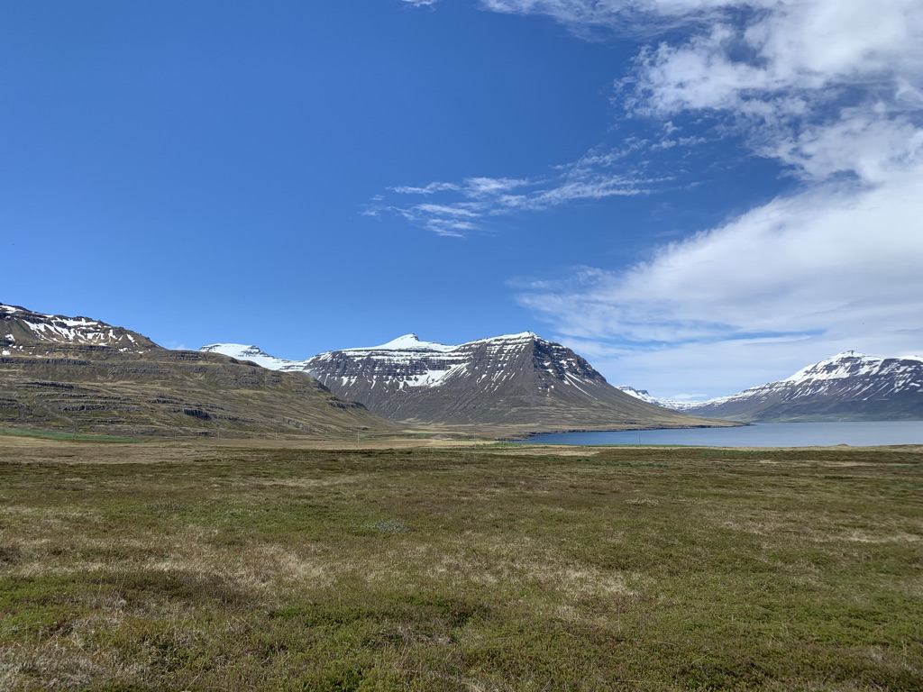
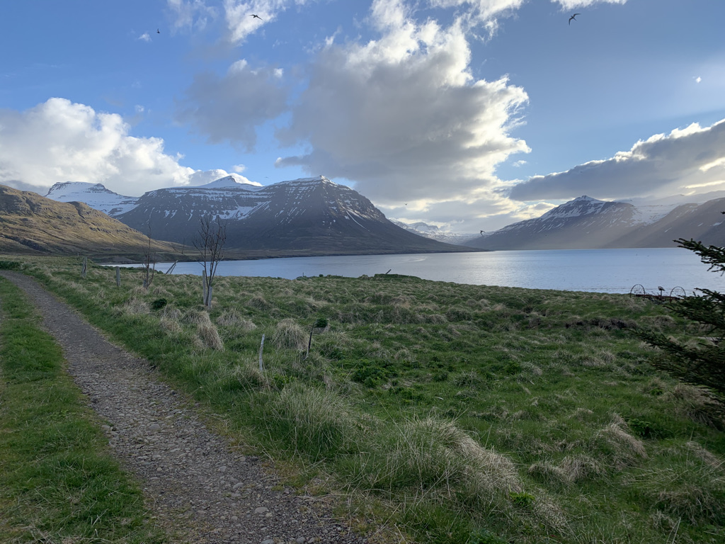
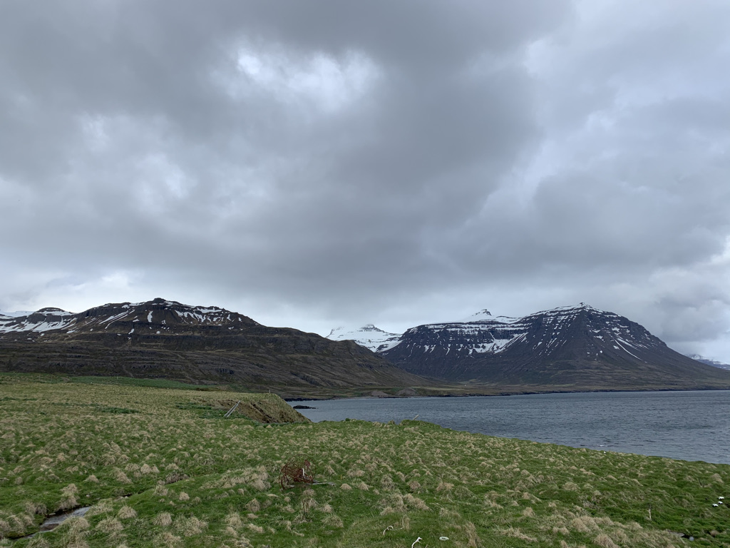
  2. We woke up every day for a few weeks with a view of a fjord.
  3. We did a glacier hike on Sólheimajökull, with two awesome guides.
  4. This was a historically successful round of data collection, both on the drone side and on the biology side. We’ll write and share a lot more about this in the next few months.
  5. We shared space with the group of phenomenal students from the University of Glasgow. We also collaborated with them on multiple occasions, learning a lot about different ways to study wildlife and local sites.
  6. THE FOOD – you probably don’t associate Iceland with food culture (I certainly didn’t), but our meals were delicious.
  7. The architecture and decorations are so distinctly Icelandic.
  8. Amazing photography and video – in high quality and high quantity.
  9. Walking along the boundary between the North American and European plates.
  10. Guided tour from our Skalanes hosts – who incidentally are awesome people – of a stretch of eastern Iceland.
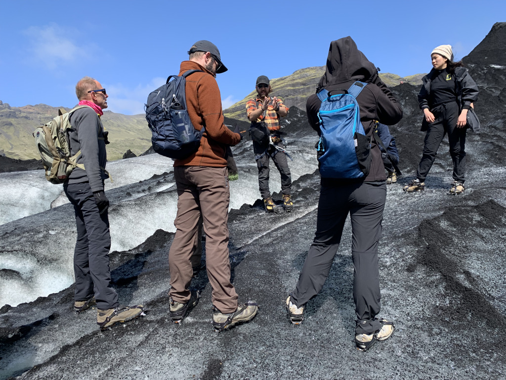
Getting the rundown about glaciers at Solo

Some of my personal honorable mentions include:

  • Trail running at Skalanes is breathtaking.
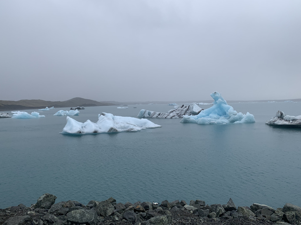
  • Blue glacier ice is real neat.
  • The National Museum of Iceland is fascinating and well-done.
  • Rainbow roads in both Seyðisfjörður and Reykjavik highlight what a welcoming place this country is – also perfect reminders of Pride Month in the U.S.!
  • My first-in-my-lifetime tour of a beautiful country happened alongside people I admire who teach me things every single day. What more could I ask for?
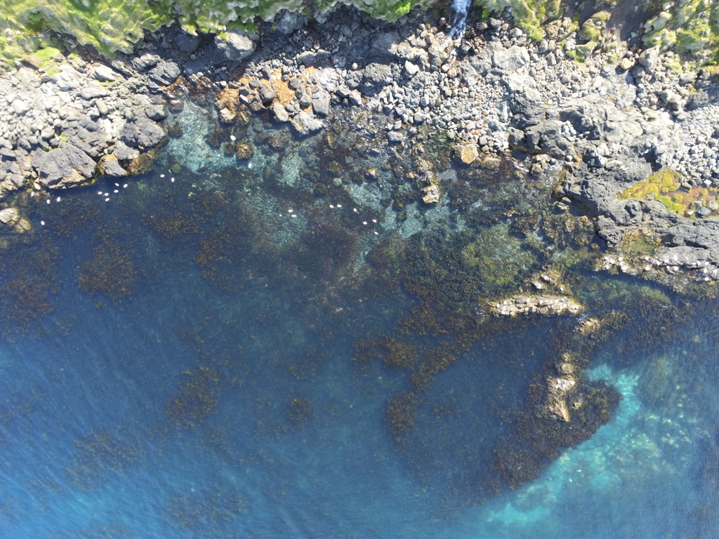
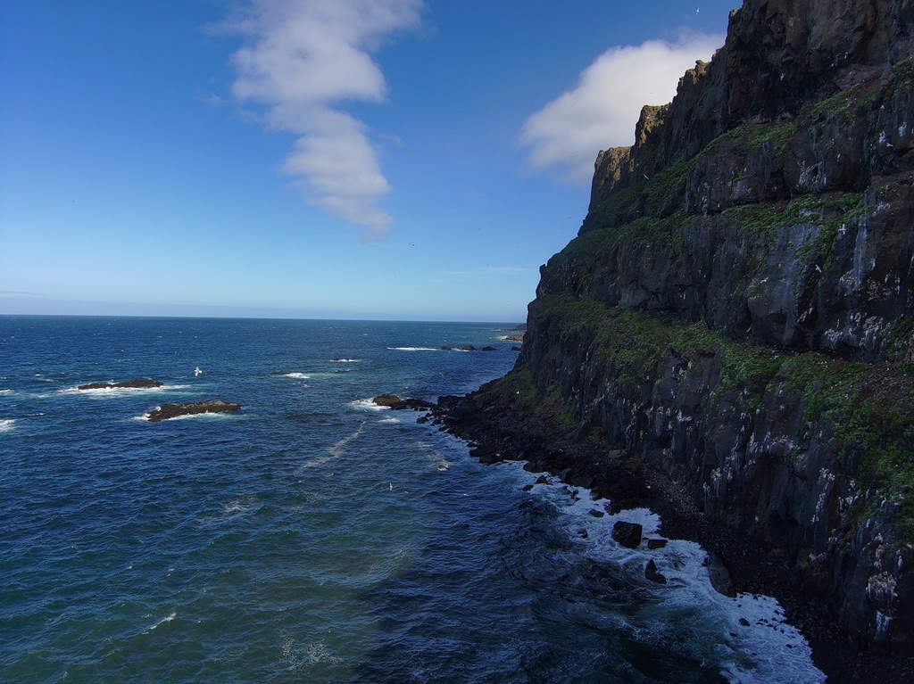
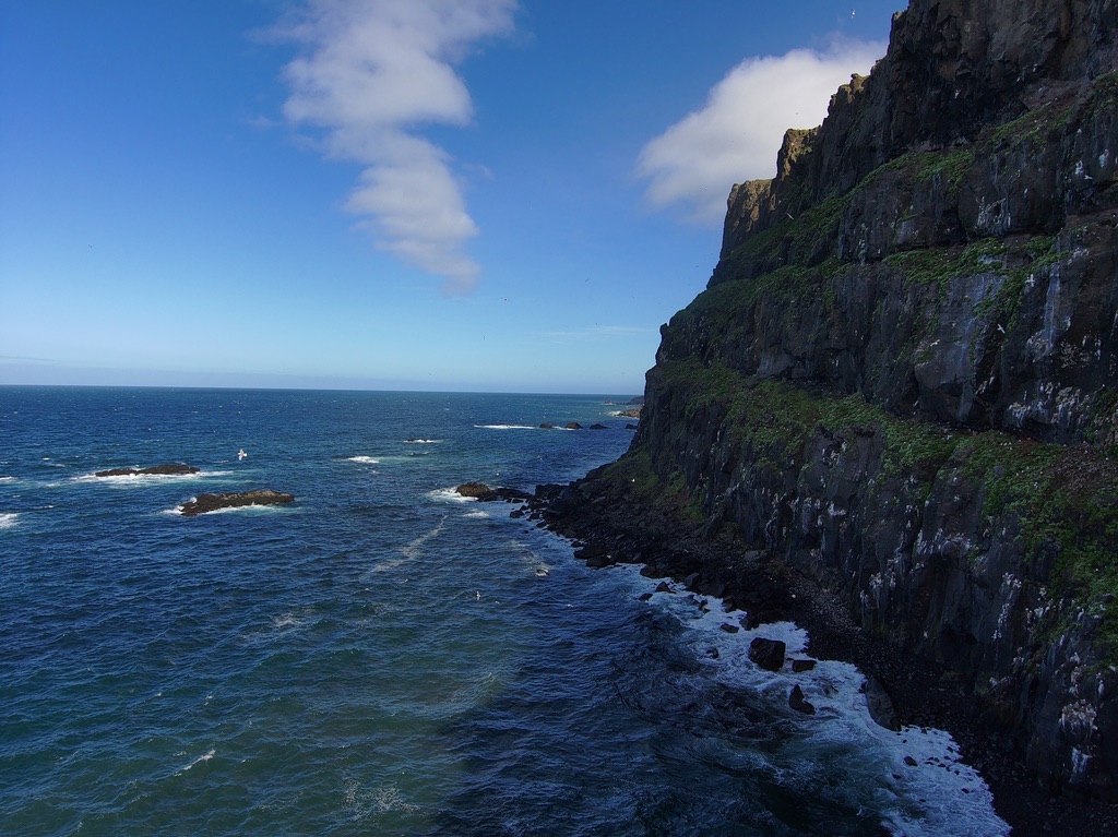
A drone photo of the coast by the fjord

If you haven’t already, check out this interview with Charlie and Emmett, conducted by Cincinnati Public Radio.
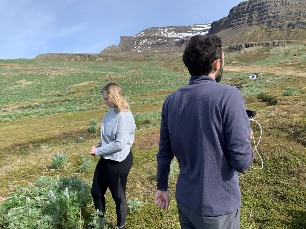
Davit and Tamara flying

In addition to our success this year, we’ve also set up some great new opportunities for future years. With our long-time friend and collaborator Rannveig Þórhallsdóttir, we’ve added the cemetery in Seyðisfjörður to our list of sites to survey. We believe there may be historically-significant artifacts to be found there, and our drone work lends itself well to finding out.
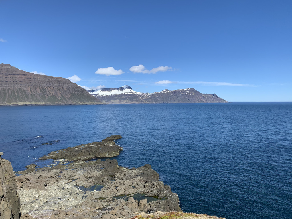
The fjord at Skalanes

Finally, here’s the trip by the numbers:

  • 7 Earlhamites
  • 26 days
  • 183 GB of initial drone images and initial assemblies
  • 2 great hosts at Skalanes
  • 6 outstanding co-dwellers
  • 4 guides at 2 sites
  • 1 perfect dog
  • N angry terns
  • 1 amazing experience
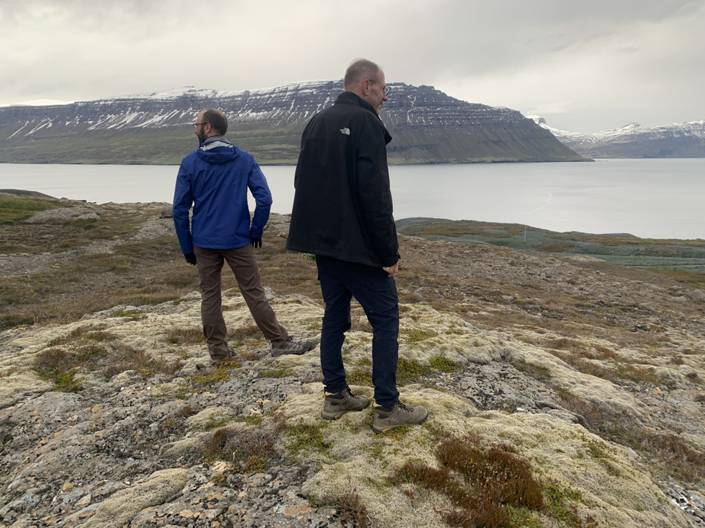
Admiring the view

And that’s a wrap. Hope to see you again soon, Iceland!
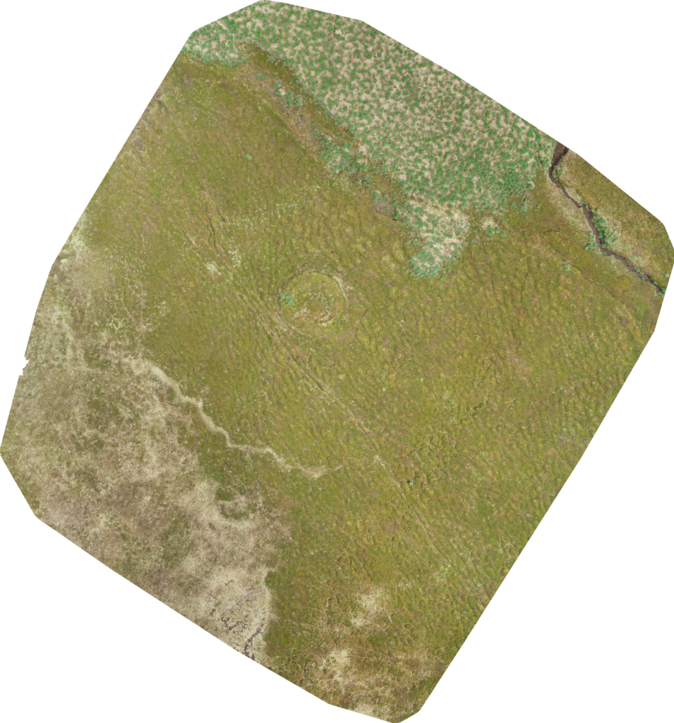
Flying cameras are good

with 1 Comment

We recently chose not to use ground control points (GCP’s) as part of our surveying work. This is a departure from standards and conventions in the near-Earth surveying space. However, we believe we have made a sound decision that will support equally effective and more time and cost-effective research. In this post, I’ll explain that decision.

The short version: drone imagery and open-source assembly software (e,g. OpenDroneMap) are now so good that, for our purposes, GCP’s have no marginal benefit.

We have high-quality information about our trial area from an established authority – the Cultural Heritage Agency of Iceland. Their 2007 report of finds is the basis of our trial runs here at Skalanes. Surveying these predefined areas, we’ve now flown multiple flights, gathered images, and then run three assembles with OpenDroneMap.

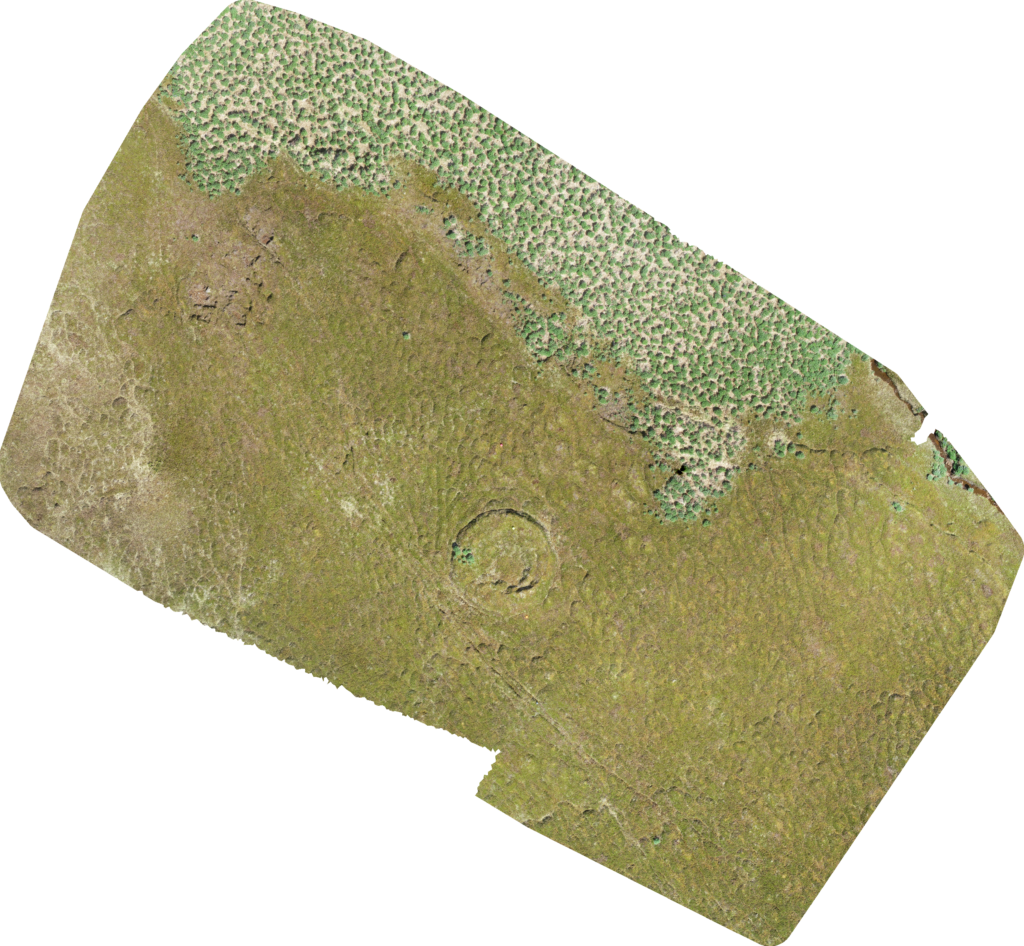
Here’s a simple run over the area with no GCP’s:

Here’s a run over the area with GCP’s, adding no location metadata other than the craft’s built-in GPS coordinates (you’ll note that the ground footprint is slightly different, but the roundhouse in the middle is the key feature):

We also manually geocoded the GCP’s for one run.

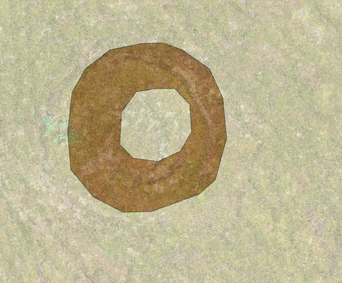
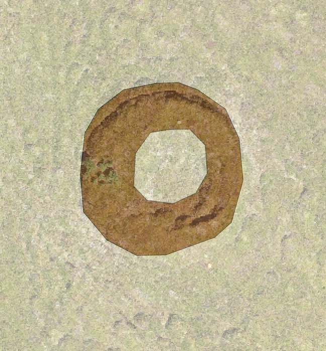
In the end, we observed no meaningful difference between an assembly with GCP’s and an assembly without them. Adding the images as raster layers to a QGIS project confirmed this to our satisfaction:

With GCP:

Without GCP:

In summary, ground control points just don’t help us much compared to just taking a bunch of good photos and using high quality software to assemble them. They also cost us in portability: even four GCP’s are difficult to carry, occupying significant space in airport luggage and weighing down walks in the field. For scientists interested in doing work over a large area, potentially multiple times, that inconvenience is not a trivial cost.

The ODM assemblies are outstanding by themselves. We have good technology and build on the work of a lot of brilliant people. That frees us to be more nimble than we might have been before.

It wouldn’t be a post by me if it didn’t end with a cool picture. Here’s a drone image from a cliff near the house where we’re staying:

A reflection on awe

with 2 Comments

The Greater Good Institute at Berkeley considers awe one of the keys to well-being:

Awe is the feeling we get in the presence of something vast that challenges our understanding of the world, like looking up at millions of stars in the night sky or marveling at the birth of a child. When people feel awe, they may use other words to describe the experience, such as wonder, amazement, surprise, or transcendence.

That’s the feeling I have at least once a day, every day, here in Iceland.

And it’s difficult to write a blog post about awe. Almost by definition, it’s an emotion that defies easy explanation. It has a mystique that risks being lost in the translation to plain language.

But if I can’t describe the feeling, I can describe why I’m having it.

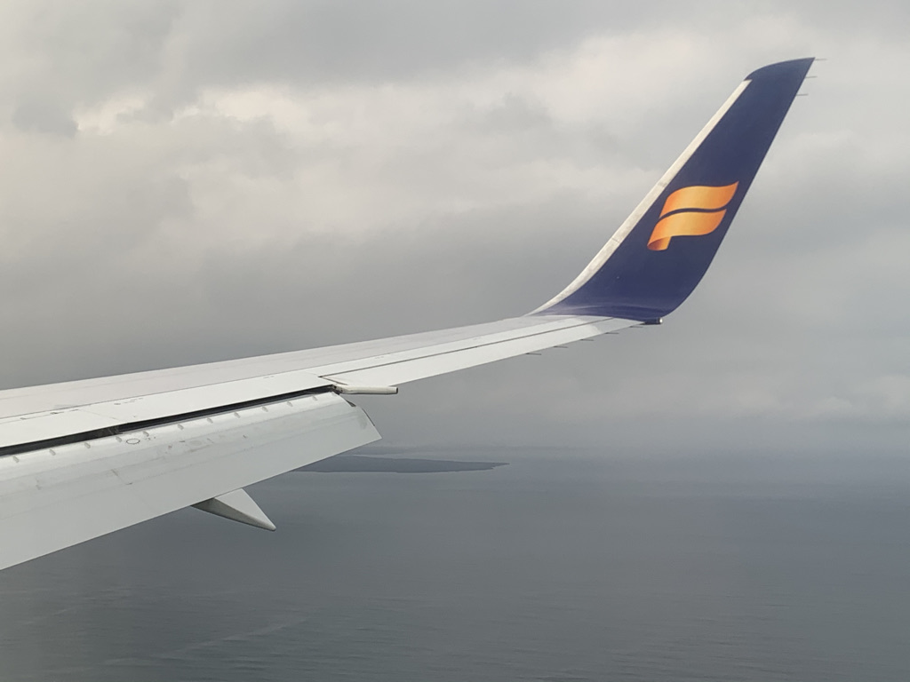
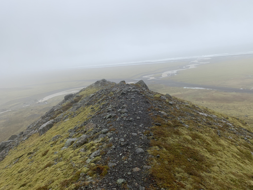
Unique among my traveling companions, this is my first-ever trip out of my country of origin (🇺🇸) The sliver of gray in this image is the first thing I ever saw of a country not my own:

When we arrived, I got a passport stamp and exchanged currency – both brand new experiences. However mundane, they were novel for me and began waking me up to the new world I’d entered.

Our first few days were chilly, windy, and rainy. I was much happier about this than were my traveling companions. If our weather wasn’t pleasant, it was nonetheless exactly the immersive experience I was hoping for when I signed up for this trip.

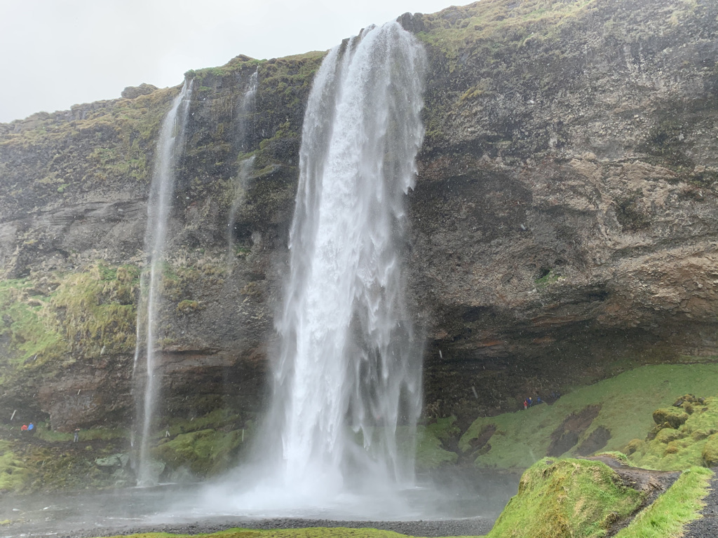
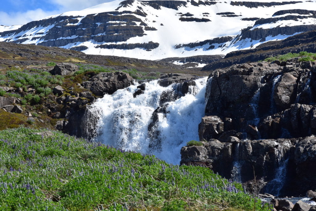
In those first few days, I got to see this amazing waterfall:

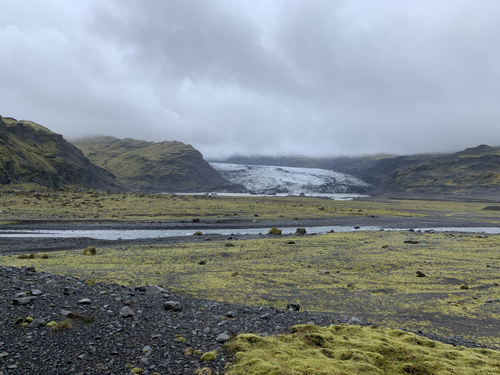
I got to participate in collecting soil samples at a glacier —

Solo!

— and in howling wind on the side of a moraine:

The right side of the moraine was calm and quiet. The left was much less so.

For good measure, I saw floating blue ice for the first time:

All this was great, and to me they made this trip worth the months of planning and days of travel difficulties it took to get here.

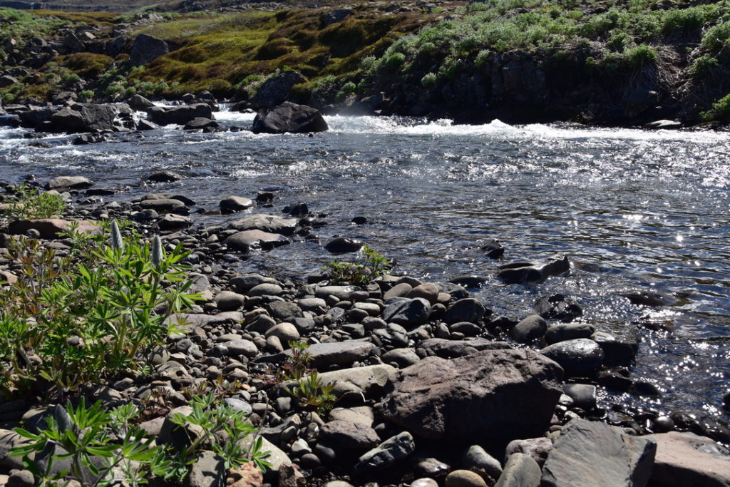
Then we got to Skalanes, where I’m writing this post, and its landscapes exist on a whole other level. Here are ten views here, drawn almost at random from my photos:

This is a country that absolutely runs up the score on natural beauty.

I’ve taken hundreds of pictures here and they’re all amazing – but none does justice to actually being here. That combination is the signature of an awe-inspiring experience.

Awe puts us in touch with something above and beyond our daily worldly experience – call it the divine, the sublime, whatever speaks to you. It’s an experience you can reproduce if you try, but I believe it connects most deeply when it emerges organically from the world you enter. That’s what’s happened to me here.

It is remarkable that this is what we get to do for work, and I am so glad we have some more time to spend here in this awesome country.

We’re on track for summer

with No Comments

Discussions are ongoing about the viability of summer travel given the pandemic. However, as Charlie has blogged recently, we are “acting as if”. As such, we are trying to maintain our original calendar.

Lo and behold, we have:

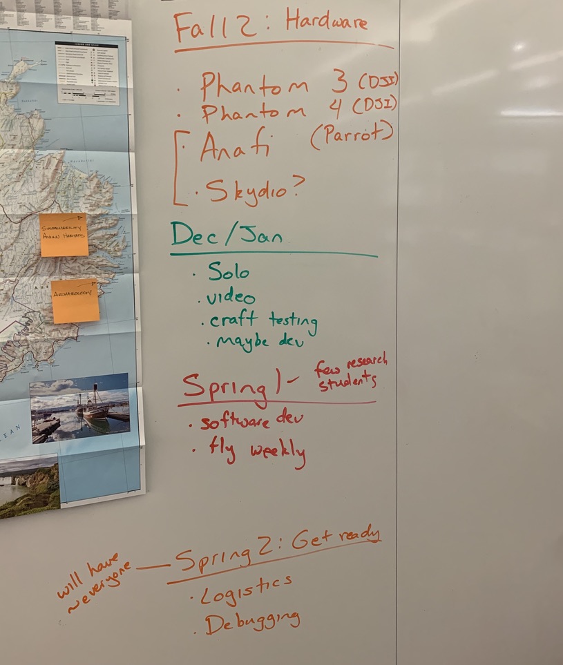
Imagine a “You are here” arrow by Spring 1

Here’s the full breakdown of that schedule and our progress:

Our plan for the fall was to find and test alternative UAV’s. This proved prudent, as the federal government banned DJI craft late last year. We are happy with both the Parrot and the Skydio craft, for different reasons which we’ll undoubtedly cover here on this blog in the future.

December and January, which were effectively a long winter break for a subset of us, were dedicated to testing the craft, capturing initial video, and possibly beginning development. This was a success as well. Additionally we have begun spinning up a more sophisticated web presence for the stories we’re telling – changes we will be prepared to publish soon.

We’ve now started the calendar for the spring, term 1 of 2. We are moving into scaling up our operation of the craft and developing software to automate that work. It’s a tough problem but one we can solve in the time we have.

We’re optimistic about our ability to meet the moment. If the world continues to make progress on COVID-19, we should be in shape to have a successful research trip.

Cross-posted to craigearley.com

Preliminary notes on the Parrot Anafi

with No Comments

After three extremely short flights, these are my notes about the Parrot Anafi drone.

We’re experimenting with different UAV’s as part of the Iceland terrestrial surveying program (we’re being optimistic about travel in 2021…). These are some notes with my initial observations.

This is based on the base case: taking the craft out, taking off, flying for at most a few minutes, and touching back down. As such, don’t take a single word of this as gospel – it’s just preliminary opinions for the historical record. 🙂

Short version of the review: holy portability! One thing I don’t like about the DJI Phantoms is that they are so heavy (both the craft and the RC-tablet unit). If it’s a pain here on-campus, where trips are short, I imagine it’s a pain in the field. The Anafi is ludicrously lightweight and doesn’t feel like a chore to carry around.

Video quality on the built-in camera is fantastic (4K etc.).

It’s not a perfectly seamless integration with our existing workflows. Within our group, for example, we usually use tablets, which are handy for their big screens. The Anafi seems built around the assumption of a phone. That’s true all the way down to the RC unit being designed to accommodate a phone but not a tablet. That’s different, but if we can only get this app for phones I am not necessarily sad about it.

There are many X factors I haven’t yet been thorough enough to review. For example: battery life, stability in breezes (heavy winds make most UAV’s hard to use), and the software/developer ecosystem.

These have been my extremely preliminary notes about the Parrot Anafi. It’s not even close to a comprehensive evaluation of everything we care about. Still, those usability factors are important if this is going to scale and be useful for others. So for now, I’m impressed.

This is a cross-post from Craig Earley’s personal website.