We recently chose not to use ground control points (GCP’s) as part of our surveying work. This is a departure from standards and conventions in the near-Earth surveying space. However, we believe we have made a sound decision that will support equally effective and more time and cost-effective research. In this post, I’ll explain that decision.
The short version: drone imagery and open-source assembly software (e,g. OpenDroneMap) are now so good that, for our purposes, GCP’s have no marginal benefit.
We have high-quality information about our trial area from an established authority – the Cultural Heritage Agency of Iceland. Their 2007 report of finds is the basis of our trial runs here at Skalanes. Surveying these predefined areas, we’ve now flown multiple flights, gathered images, and then run three assembles with OpenDroneMap.
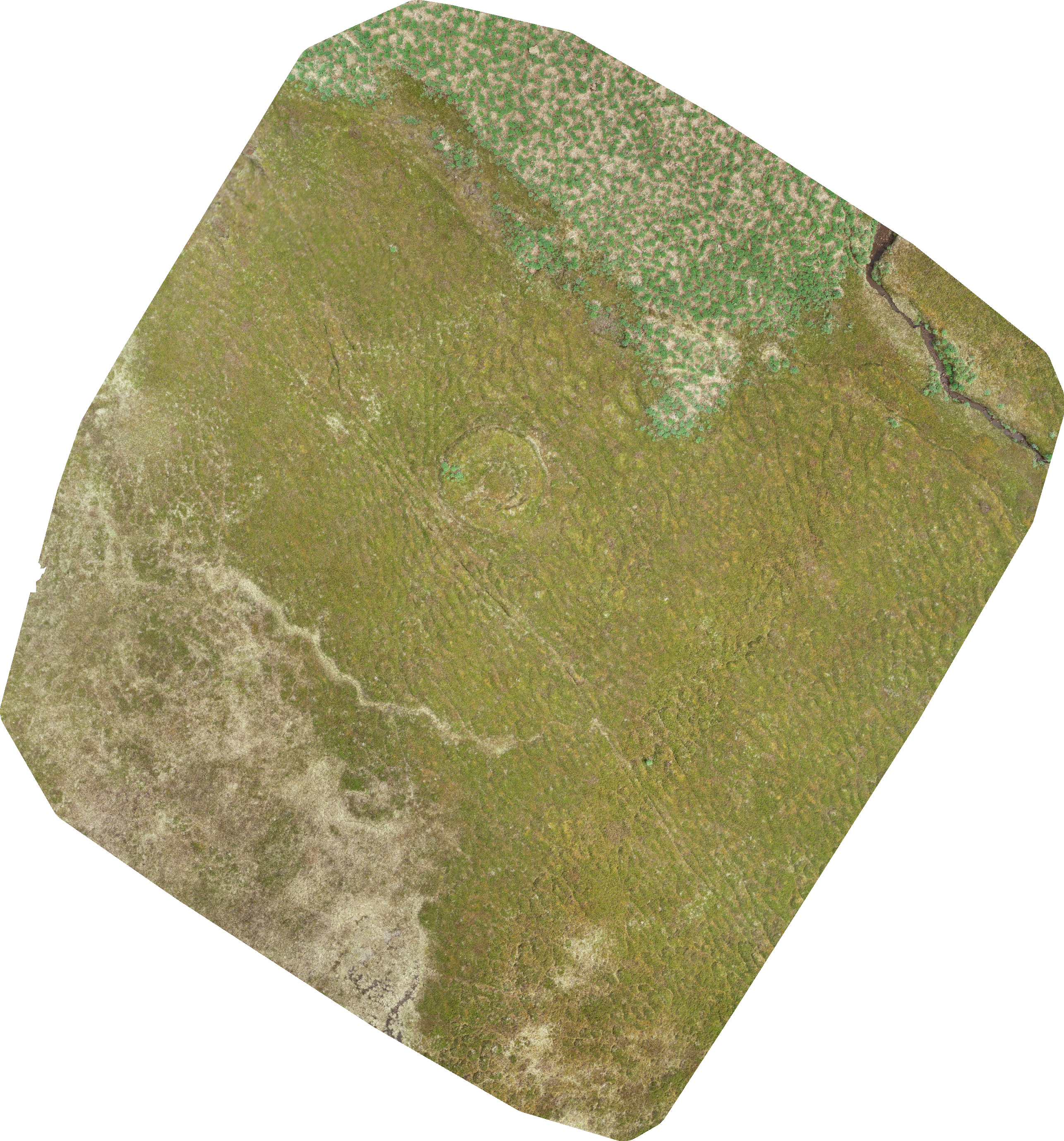
Here’s a simple run over the area with no GCP’s:
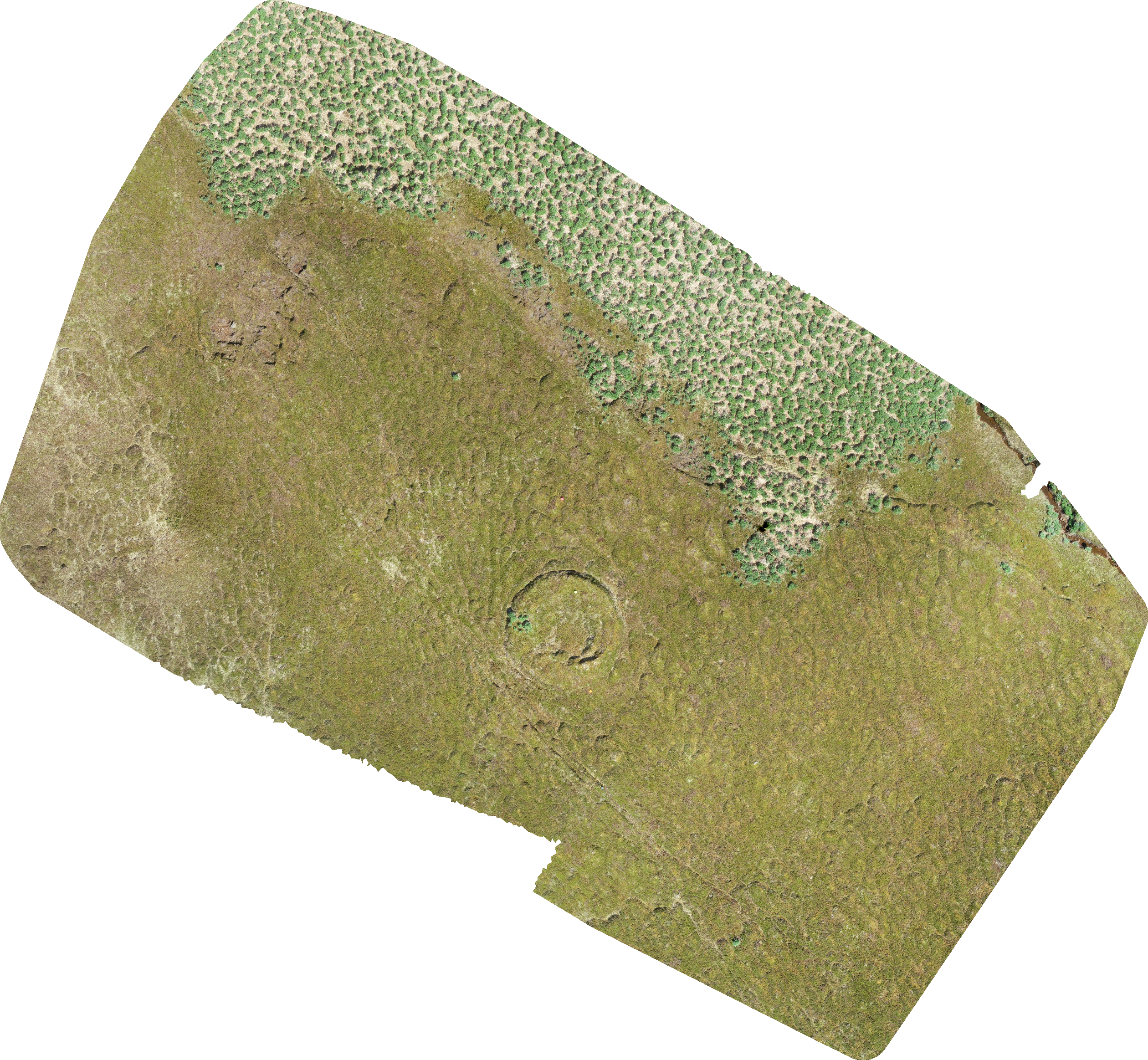
Here’s a run over the area with GCP’s, adding no location metadata other than the craft’s built-in GPS coordinates (you’ll note that the ground footprint is slightly different, but the roundhouse in the middle is the key feature):
We also manually geocoded the GCP’s for one run.
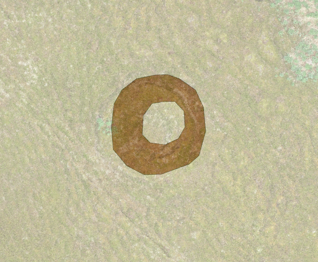
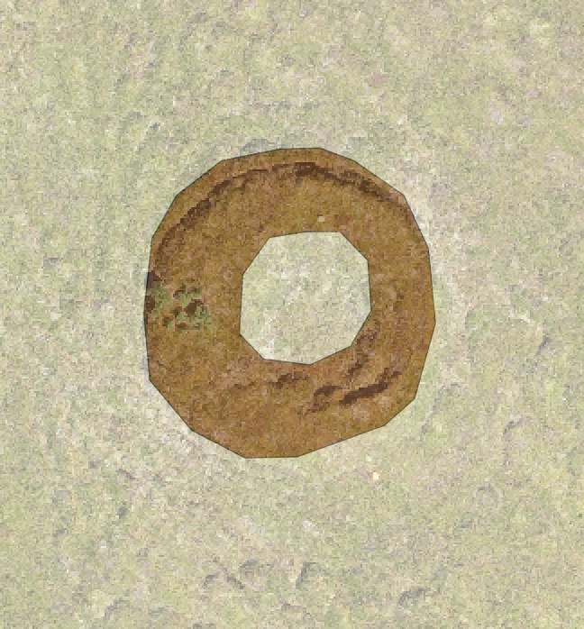
In the end, we observed no meaningful difference between an assembly with GCP’s and an assembly without them. Adding the images as raster layers to a QGIS project confirmed this to our satisfaction:
With GCP:
Without GCP:
In summary, ground control points just don’t help us much compared to just taking a bunch of good photos and using high quality software to assemble them. They also cost us in portability: even four GCP’s are difficult to carry, occupying significant space in airport luggage and weighing down walks in the field. For scientists interested in doing work over a large area, potentially multiple times, that inconvenience is not a trivial cost.
The ODM assemblies are outstanding by themselves. We have good technology and build on the work of a lot of brilliant people. That frees us to be more nimble than we might have been before.
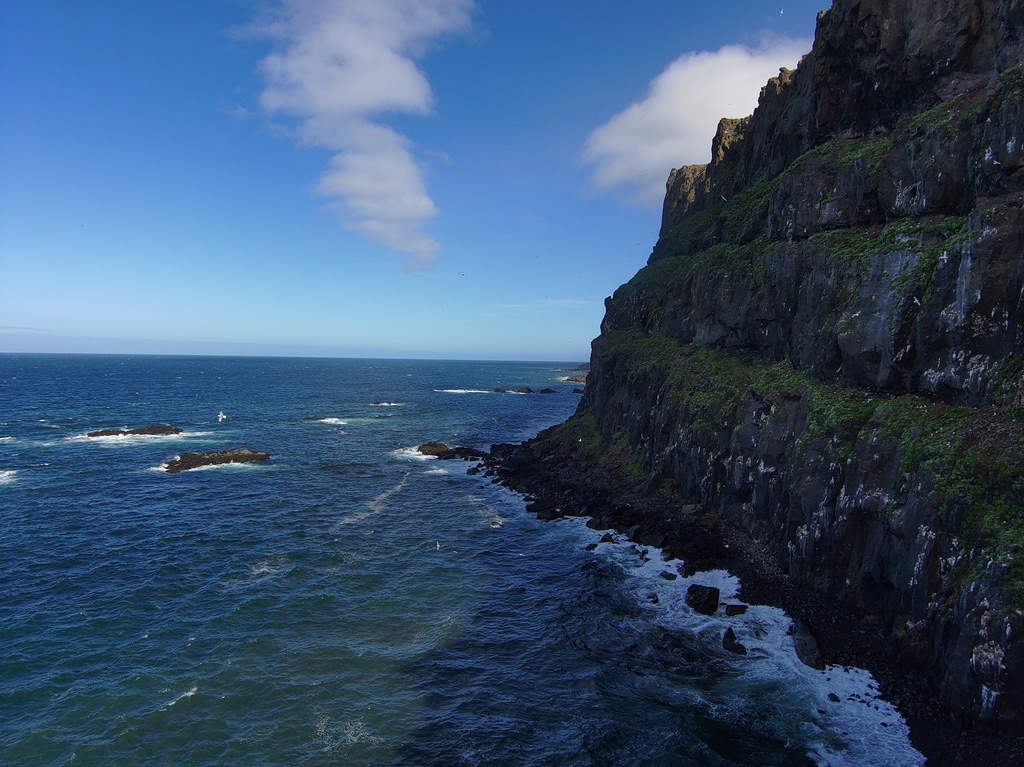
It wouldn’t be a post by me if it didn’t end with a cool picture. Here’s a drone image from a cliff near the house where we’re staying:
One Response
Flying cameras are good - Craig Earley
[…] Cross-posted at the Earlham Field Science blog. […]