Writing’s not really my forte, so I’ve been postponing writing a blogpost for quite a while now. I guess it’s the right time to introduce myself, the work I’m doing in Iceland, and some highlights from the past couple of days.
My name is Davit. I recently graduated from Earlham with a degree in Computer Science. I’ve been involved in Icelandic field science research since my junior year. Our plan to go to Iceland in 2020 failed miserably because of the global pandemic. We all waited patiently (or not) for one full year, and then a week ago we drove to Chicago, flew to New York and then to Keflavík. In reality, the trip was way more complicated and tiresome than I just made it sound; but arriving at Skálanes flushed away all the annoying details of getting here.
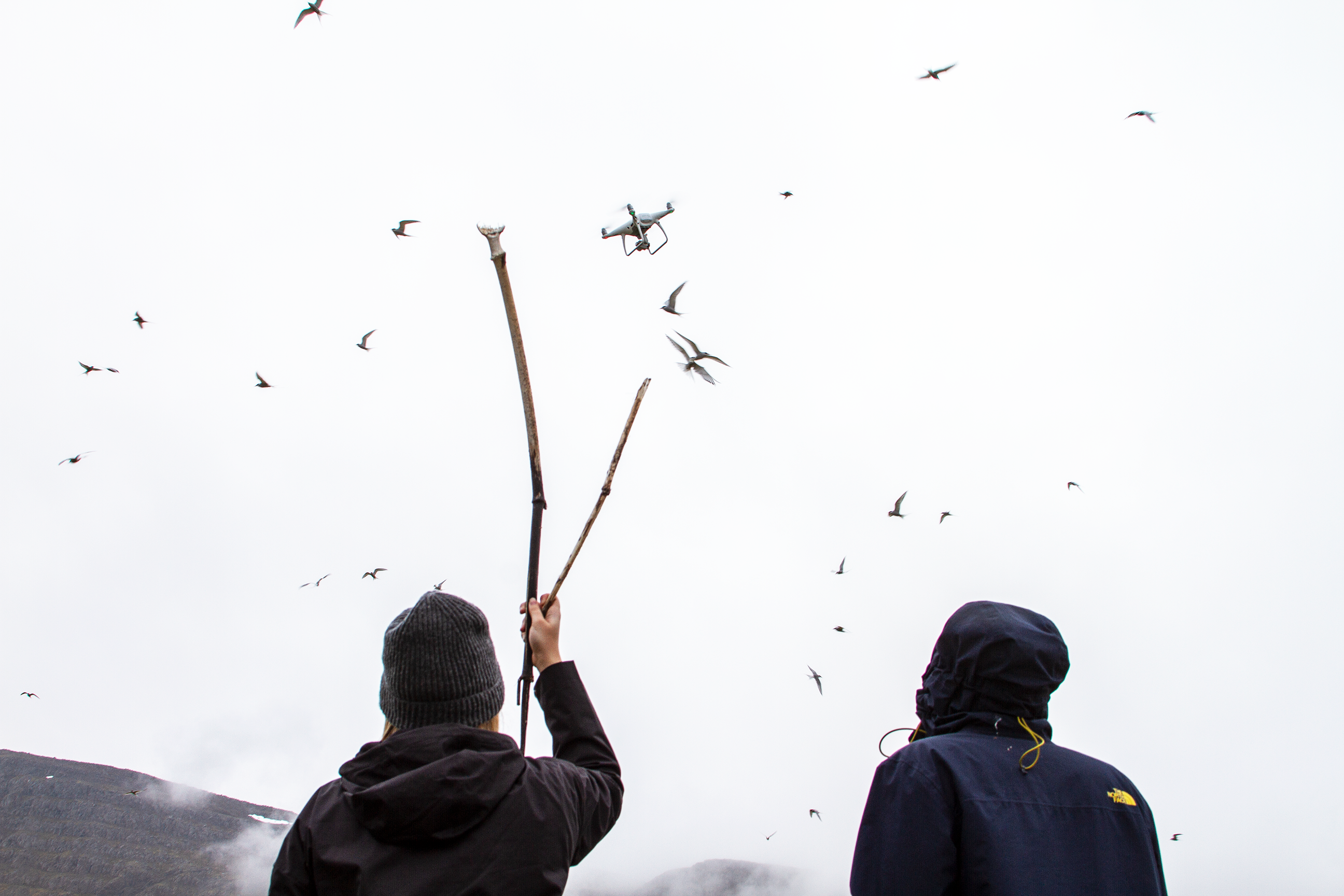
Wet, exhausted and frozen, we made the final 2 km hike on foot. As we walked, our path took us through a permanent tern colony, which is an important part of the preserve. At Skálanes we were greeted by our host – Olí who had already prepared a hot meal for us. He told us that the next day would be sunny – an Icelandic luxury that we had to take advantage of. Next morning, we got up early and started working on using our drones to survey areas of archeological interest.
A few details about how I’m involved in this research:
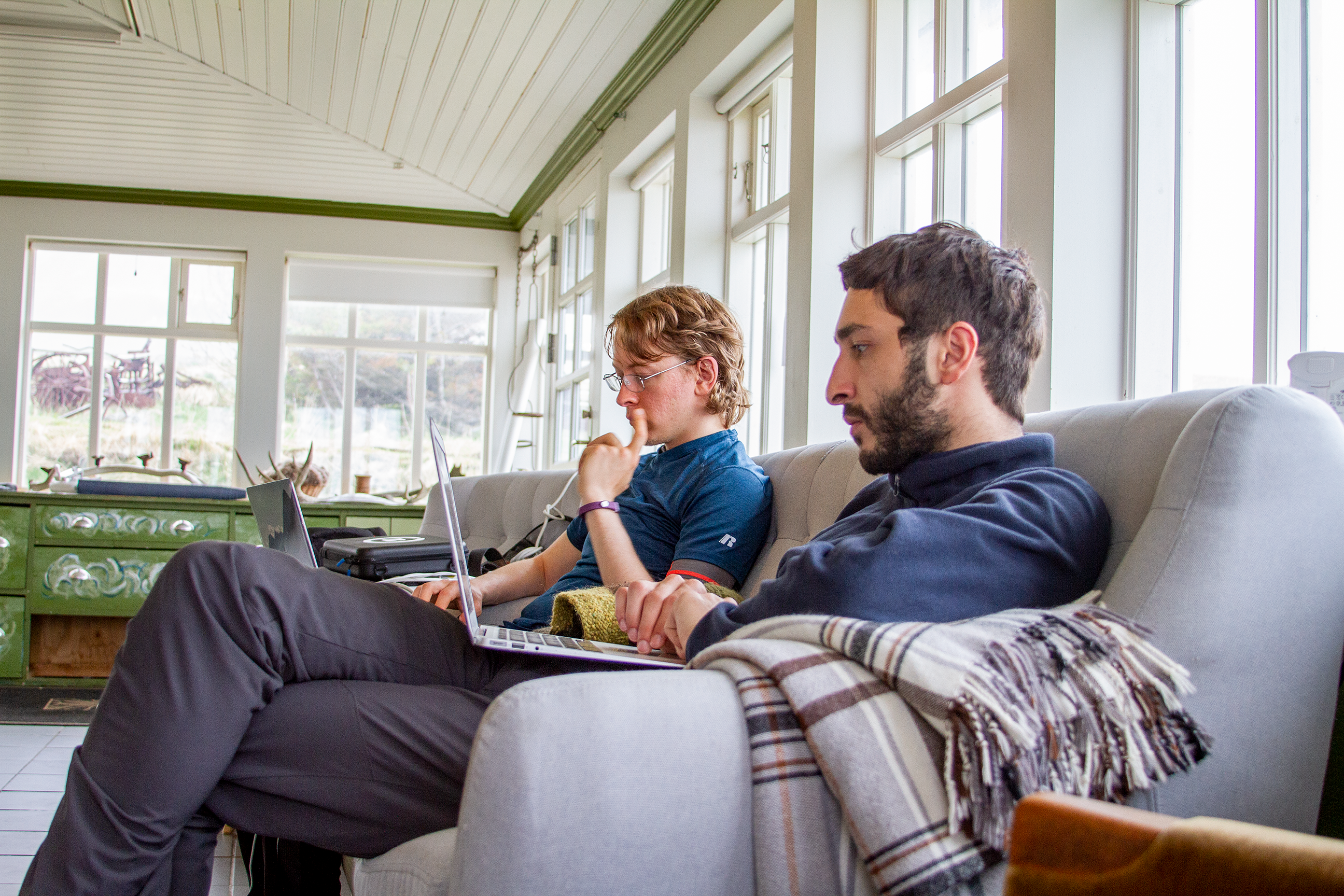
Most of the work that I did on campus involved refining the workflow of surveying to ensure that everything would go smoothly in Iceland. This included familiarizing myself with the drones and practicing flying them manually. I also built a web interface for the visualization of the near-infrared (NIR) images taken by the drones. I have been a sysadmin at Earlham for almost 3 years, so I was also helping in plumbing up different software and tools that the research depends on.
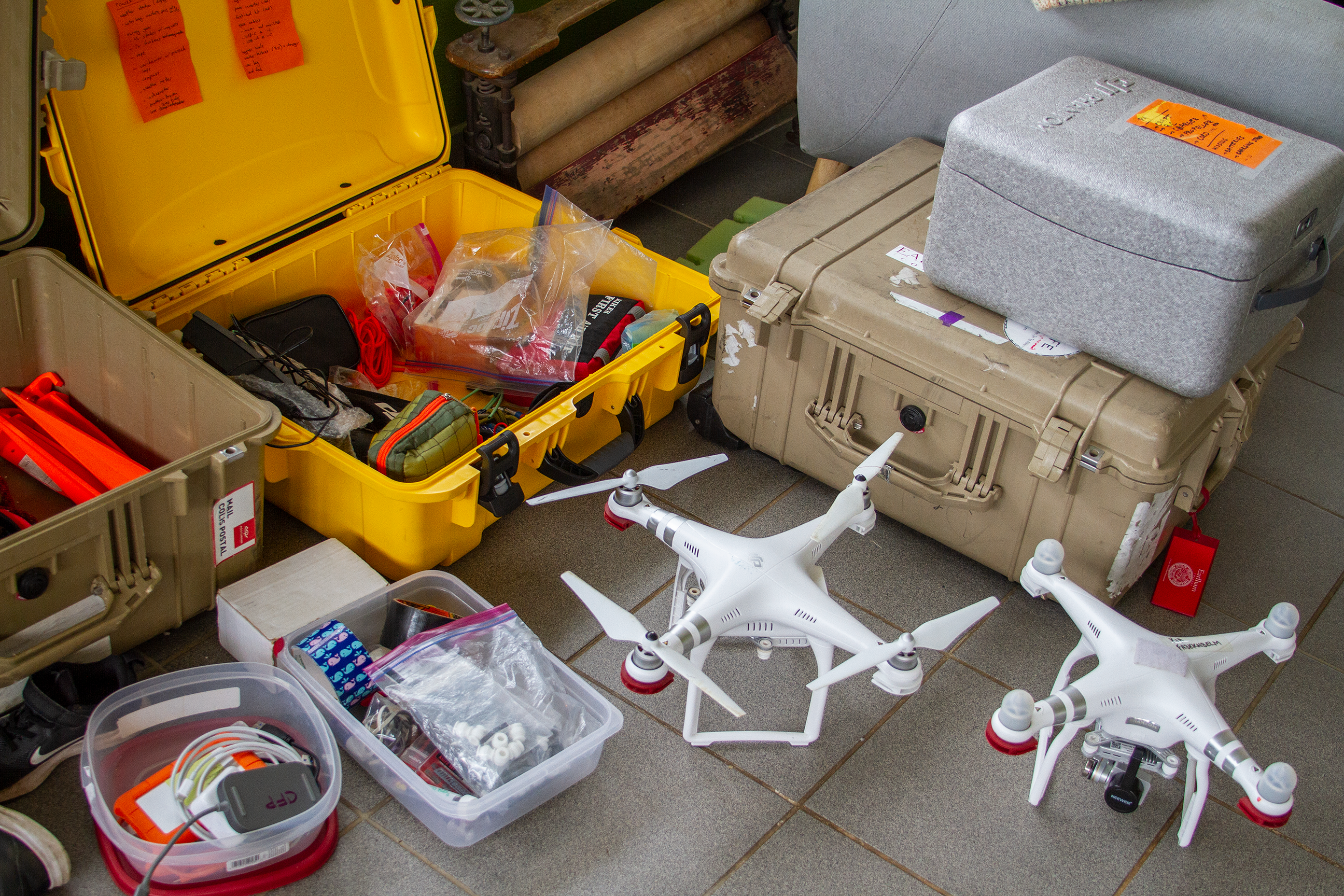
The last two days the clear weather has allowed us to fly the drones. We have tried to make the most out of it! After Charlie picked the first spot for us, Craig, Tamara and I went to the surveying site. We have been using a Phantom P4 drone with PixD4 software to make automated flights. By taking a good amount of photos from 50 meters of elevation we will be able to build 2D and 3D models of the terrain.

Unfortunately, we had a bit of bad news too. Our only drone with NIR lenses is a bit jet lagged and is stubbornly refusing to calibrate its gimbal. Once it starts raining again (it won’t be long!) we will be forced to work inside. Then, we’ll have the chance to focus and solve the NIR issue. Meanwhile, we are using the ordinary lenses to harvest as much data as we can.
Today, we flew the drones at a spot where the terns are nesting. They’re beautiful birds, but they were not at all happy to see us doing science nearby. They made continual short ranged attacks by pecking us, and also engaged in long ranged bombing efforts as they dropped their biological weapons on our heads.
Leave a Reply
You must be logged in to post a comment.