We’re Freeeeeee!!!

with No Comments

Finally, freedom!

We were back in Reykjavik and each of us got the whole day free to do whatever the heck we wanted in the capital. I decided to stay in for lunch, made myself an omelette and some ramen, and then headed to the public pool called Laugardalslaug. Unfortunately, phones and cameras were prohibited in the pool area so capturing pictures was not possible. However, I ended up enjoying the place and the vibe quite a bit as I went around dipping in the hot tub and steambath, completing a couple of laps and then going down a slide (a definite spot of fun for the young ones). There was also a small hot tub in a corner that had geothermal seawater, extracted from a borehole near the coast and heated further. It also had a few interesting salts (6 different ones, cannot recall all of them) – you would be able to feel the difference in texture if you went for a dip in it.

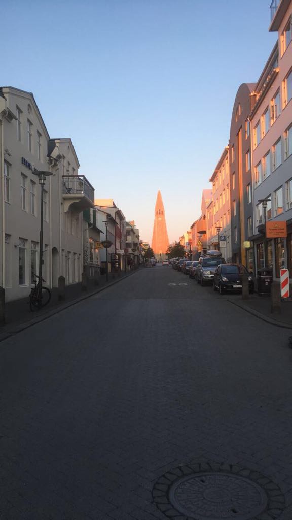
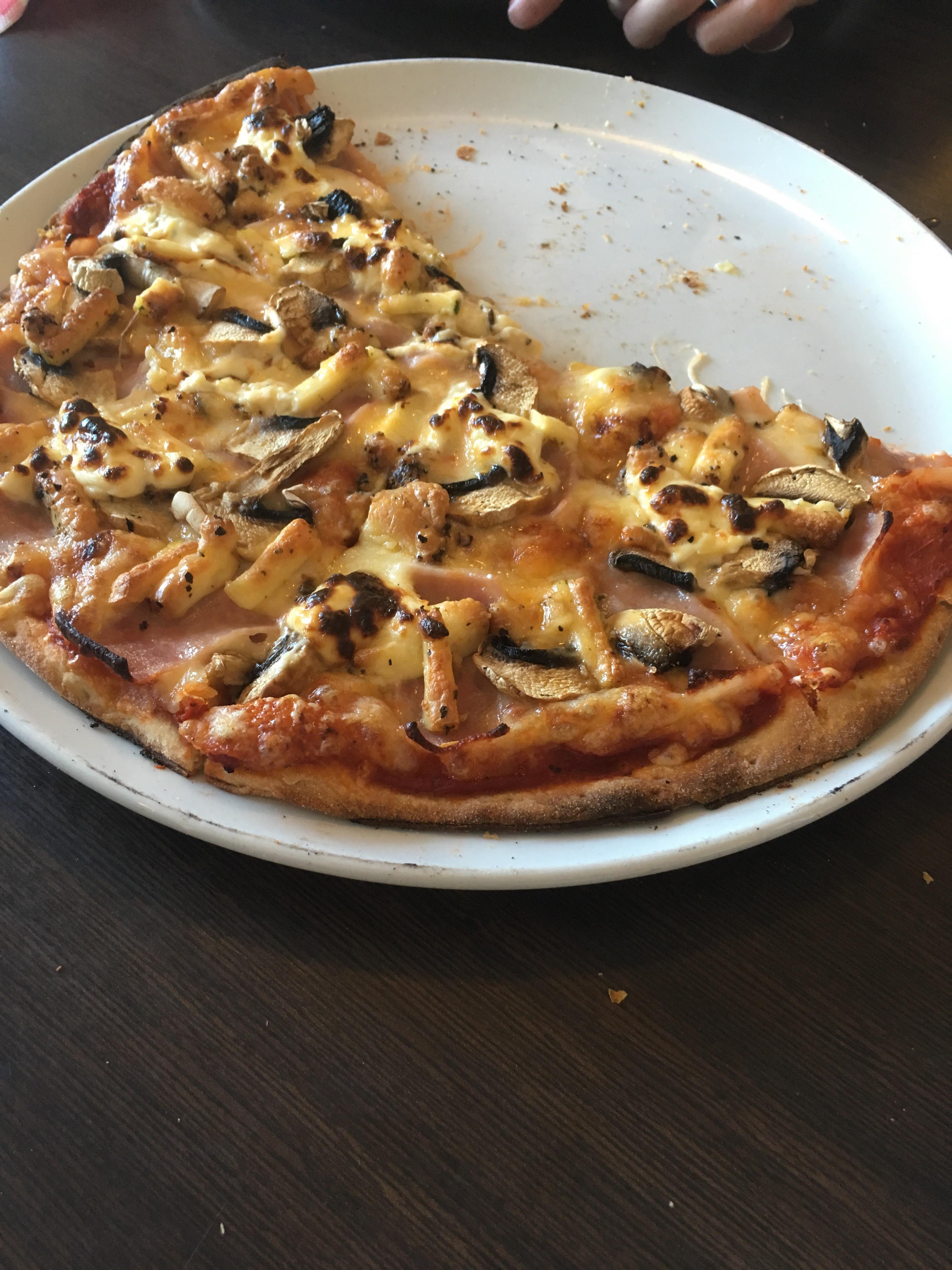
Later, I decided to have dinner at this food court that was within a 10-minute walk from the hostel and I did not regret that decision at all since I got to enjoy some absolutely delicious salmon. It was also the summer solstice, so a lot of people were hanging out in downtown and around the city. I decided to go for a walk, hoping to catch a view of the midnight sun and I was served just right!

Spotted on a main street, looked very intriguing
View of Hallgrimskirkja, the largest Lutheran church (probably the tallest building in Reykjavik), under the midnight sun

Delicious Food = Science Completed

with No Comments

A lot had to be done today, but when did that ever bother anyone getting their stomachs full and tastebuds stimulated?

After an early rise, a group of us headed out to the field at 8 AM to capture imagery from the drone, while the others stayed back at the schoolhouse to finish testing the soil samples collected earlier at the Sólheimajökull glacier. Being part of the group on the field, I was flying the drones through the flight paths we had previously made to capture two different types of imagery, Visual Lens Imagery (VLI) and Near Infra-Red (NIR), of the sites of interest. We planned to use the imagery captured from the drone flights to analyze the sites further, which would give us information regarding earlier settlement on the sites; for instance, the NIR imagery allows the camera of the drone to visualize the land in terms of colors that the average human eye cannot detect and thus, it proves to be useful for detecting differences in vegetation of the land.

Following the morning session of flying, we headed back to get some lunch and were already expecting a great meal based on what we were served yesterday, but our expectations were again exceeded with amazing food: beef meatballs with cheese, white rice, salad, creamy cheese sauce (I don’t know the name but it’s really good, I swear!). Given the satisfaction earned from this meal, we were determined to finish all the remaining work we had, so we headed back onto the field and stayed till 5:30 PM, with some delays experienced due to technical difficulties with one of the drones.

Drone team in their element (job not well done – needed a smaller altitude for this picture)
As we were flying the drones, excavation was occurring at this site of archaeological interest

Further proof of hospitality we received from Stodvarfjordur: Brekken offered to serve us dinner when they learnt that we will not be around for lunch tomorrow! And guess what? We stuffed ourselves again with the delectable pizza we were served. To finish off the day, our beloved faculty leaders E & C gave a brief presentation in the schoolhouse about the whole project, with the main audience being the local crowd.

The only picture of the pizzas I could capture given the rapid rate at which they were being consumed, but I can confirm that there was no lack of either quality or quantity
E & C talking about the project while Rannveig (on C’s right side) was translating

Mountain Hike, Off the Island, Onto the South Coast

with No Comments

The first thing we did after waking up was hiking up the 2nd mountain. For me, it was Helgafell, which is older compared to Eldfell, and is located towards the southeast part of the island of Heimaey. While hiking, we continued monitoring the altitude we were measuring yesterday with elevation platforms.

On the hike up to Helgafell, with the Sun shining down on us
View of airport and the southern end of Heimaey from the top of Helgafell

We returned to the hostel to feed ourselves lunch and to pack up for our ferry back to the mainland. Then we all got into our vans and drove towards Vik, a town close to the southern coast of Iceland, where we planned to stay for the next 3 nights. To finish off, E made some delicious veggie soup with bread and salad that had to be devoured.

Graffiti spotted on the way to the ferry from Heimaey
We stopped at Seljalandsfoss, a wonderful tourist attraction, on the way to Vik