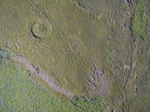
I learned this week the breadth of coordinate systems that are used to geolocate a “point” on the surface of the earth. A very nice archeological survey was done of the Skalanes peninsula about 10 years ago (as near as I can tell, it is in Icelandic). The locations of the features they catalog are given in eastings and northings from a point that I have not found documented yet. It appears to be UTM but when you use 28 W, the UTM grid zone for eastern Iceland you get kind-of-sort-of close, say within a couple of Km, but nowhere no exact. The survey team used a differential GPS, if we can obtain a copy of their database we should be able to figure-out how to convert from their coordinate system.
In other news Gail and I have finished making the hostel, ferry, and car reservations. Next up is exploring bulk airfare.


