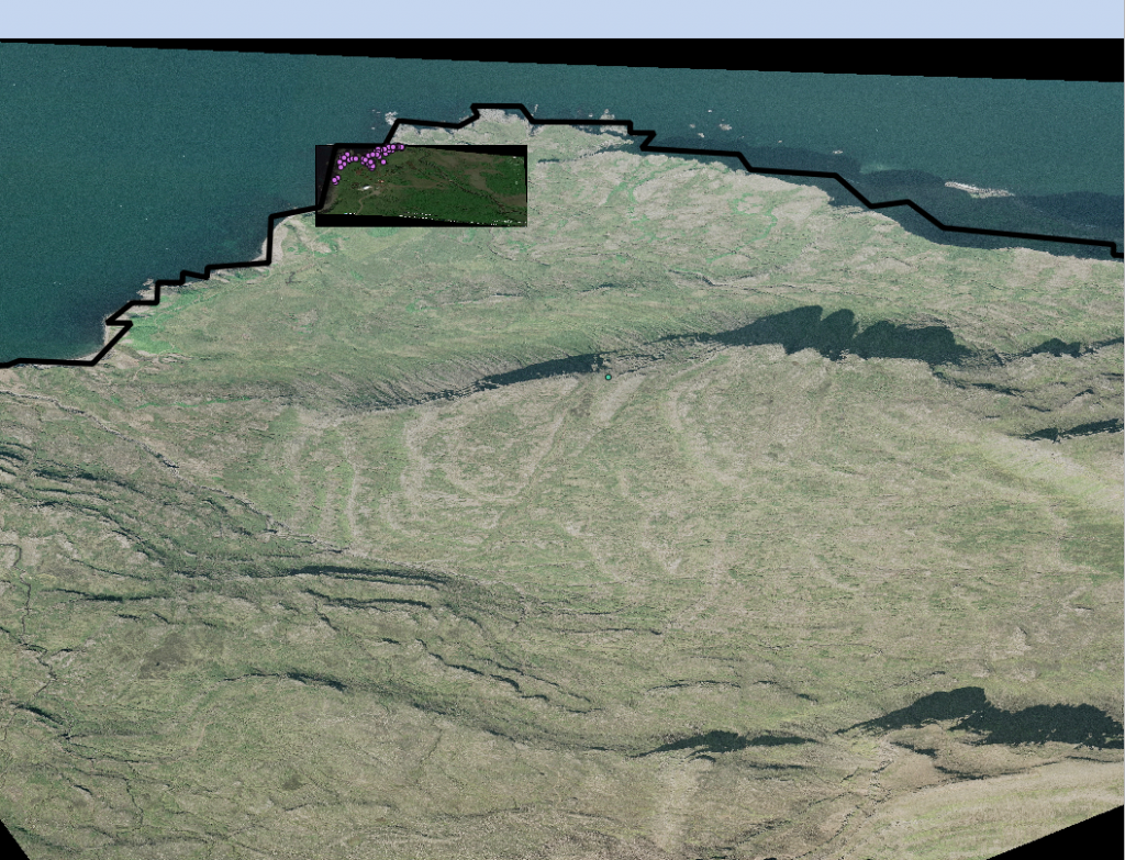
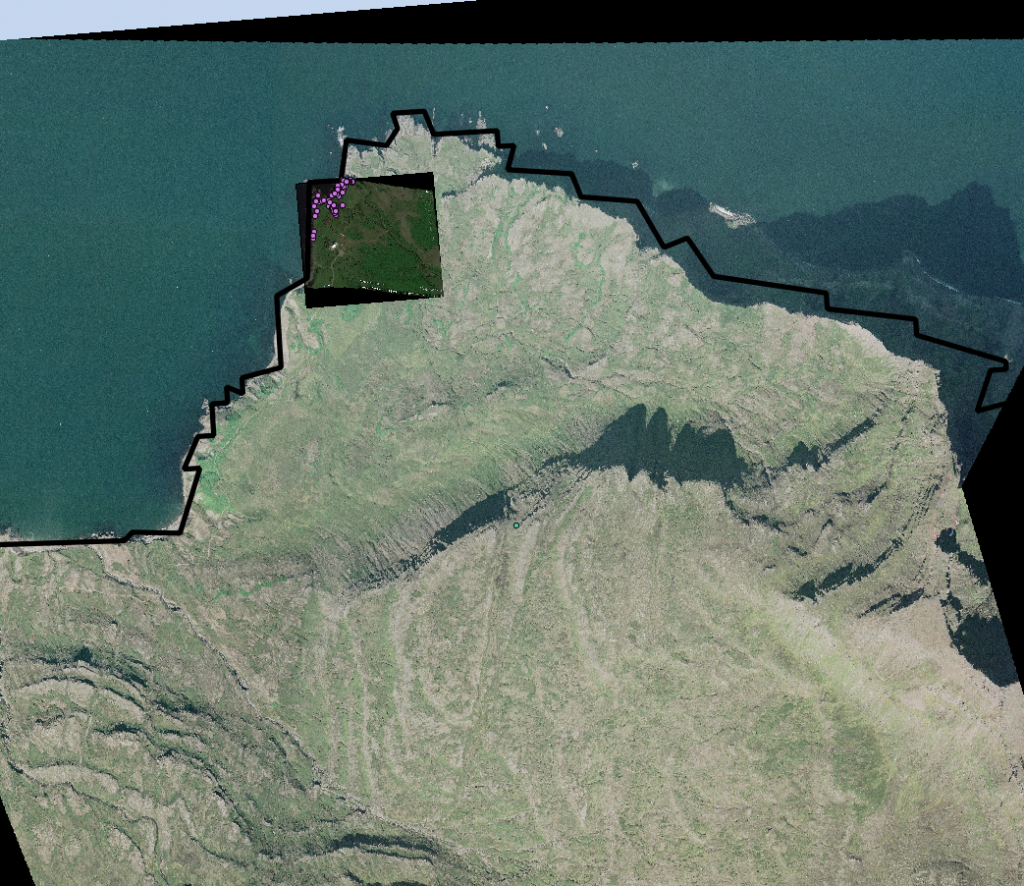
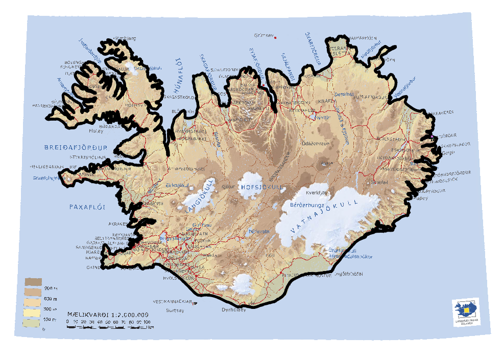
I had lots of success this week with QGIS. I met with Jose and we figured out some of the georeferencing issues in ArcGIS. From there I just had to figure out what to do in QGIS to georeference jpeg files. It took a little while due to different information from different versions but eventually I was able to use the georeferencer plugin in QGIS to match the images spatial to the rest of the layers we have right now. I also took images from google earth and brought them into QGIS the same way. Right now all of the layers are in WGS1984 because that is the projection the layers were in when we received them from Oli. However the way this projection works makes it so Iceland is very skewed. I then changed the layer projection to ISN2004/Lambert2004 (EPSG:5325). This means that the individual layers are projecting on the fly which is fine for what we are doing now however before analyzing anything I will need to individually convert the layers. I am not entirely sure how necessary this is because spatial analysis should still be accurate event if it is visually skewed (we will see). Comparison below:


I have also added Google Earth satellite images of Heimaey. We finally received that maps of the Skalanes peninsula from Omnimaps. They will not have any of the others ready therefore I have looked into other sources and decided that we will stop at a map store in Reykjavik (Ferdakort- Map Shop) called Iðnú Bookstore. I did cut the map that we do have so we can tape the two halves of the peninsula together. I also was able to find a topo map of the Richmond area for use when testing (checked out from the library). Aside from this I have collected some books on sense of place and the value of the outdoors to make a reading collection for our trip (besides Island on Fire).
3 Responses
Rannveig Thorhallsdottir
Have you already checked this website out for maps? http://www.lmi.is/kort/
Erin Lewis
Yes! I have actually been using this website as best I can for maps but they don’t seem to have topographic maps. The next post of mine should actually reference this website some.
Rannveig Thorhallsdottir
I have been waiting forever for them to send me air images of Skálanes – hope they will send it before you arrive! I will continue to call them.