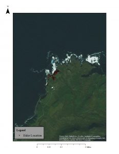
 So there are definitely some challenges in terms of the GIS stuff. I decided to bring all the layers into ArcGIS to see if I could do more with fixing projections in a platform I already know. It gave me the same result so then I brought a base map in which showed me that I think it is the JPEG of the Skalanes area that has the projection issues not some of the other layers (some still are nowhere). When I went to create a base map layer of that area it wasn’t really working therefore I set up a meeting with Jose and will hopefully most some more updates after that meeting.
I have also started to look at good articles regarding sense of place and other wilderness related things that would help everyone to better understand that program and in order to work things like that into this program.
Leave a Reply
You must be logged in to post a comment.