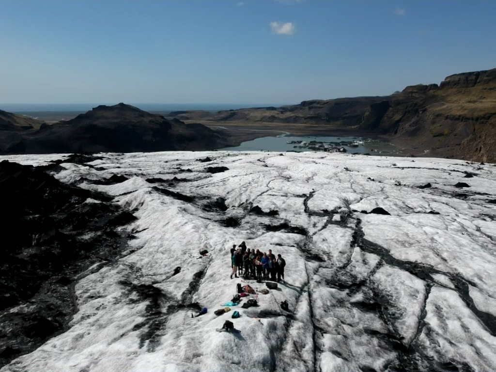
Today is the official re-start of our National Geographic Society supported near-Earth survey work in Iceland (Earlham’s press release). Like many other scientists we have been unable to travel to field sites since the onset of the pandemic, the National Geographic graciously gave us a one year deferral for our grant, and now we are beginning to plan towards working in Iceland this coming June. Our project is based on commonly available UAV technology, our group is designing and building inexpensive, open, software and hardware systems for domain scientists to easily measure a variety of Earth surface parameters. Our first two disciplines are archaeology and sustainability, both of which depend on a variety of sensing modes. A few details about the gear and workflows are below, and in subsequent posts we will describe them in more depth.
Our group is a collection of students, faculty, and professionals primarily based at Earlham College in Richmond, Indiana and at Skalanes, outside of Seydisfjordur, Iceland. Together we cover archaeology, biology, computer science, geography, storytelling, and sustainability. The faculty and professionals are: Emmett Smith, Craig Earley, Rannveig Thorhallsdottir, Olafur Petersun, and Charlie Peck (me). The students we are currently working with are: Dung (Kate) Nguyen, Tamara Blagojevic, Davit Kvartskhava, Pyone Win, and Yujeong Lee. Over the next year you will learn more about all of us as we write posts that describe the specific aspects of the project which we focus on. For the most part we fancy ourselves as generalists, but in reality each of us brings lots of domain knowledge and focus to our work where it is blended into solutions.
Our goal for this cycle is to make it easier and cheaper for archaeologists to locate subterranean points of interest within a known or suspected cultural activity area, and for environmental scientists to quickly survey large areas for e.g. invasive species measurement or erosion. Our approach combines three relatively recent advances in drone, sensor, and machine learning technologies.
1) Consumer grade drones capable of doing basic field science tasks, at accessible costs.
2) Significant growth in the types of sensors available, and at low cost.
3) Powerful, relatively easy to deploy open source machine learning libraries, which can extract deep patterns from large, noisy, multidimensional data sets.
These three trends can support an approach to subterranean feature detection that is faster, cheaper, and more accessible to a wider range of practitioners than existing methods. Rather than depending on a single very sensitive, often expensive and complicated sensor to detect subterranean features, e.g. satellite or aircraft based LiDAR; our Terrestrial Mapping Platform (TMP) makes it possible to do ground based surveys, in a combination of sensor modes, and then use machine learning algorithms to combine those data sets into a single analysis to detect subterranean anthropogenic features and characterize surface vegetation.
Leave a Reply
You must be logged in to post a comment.