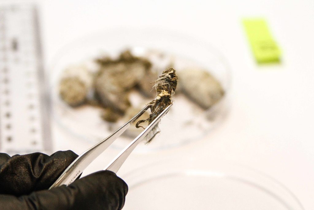
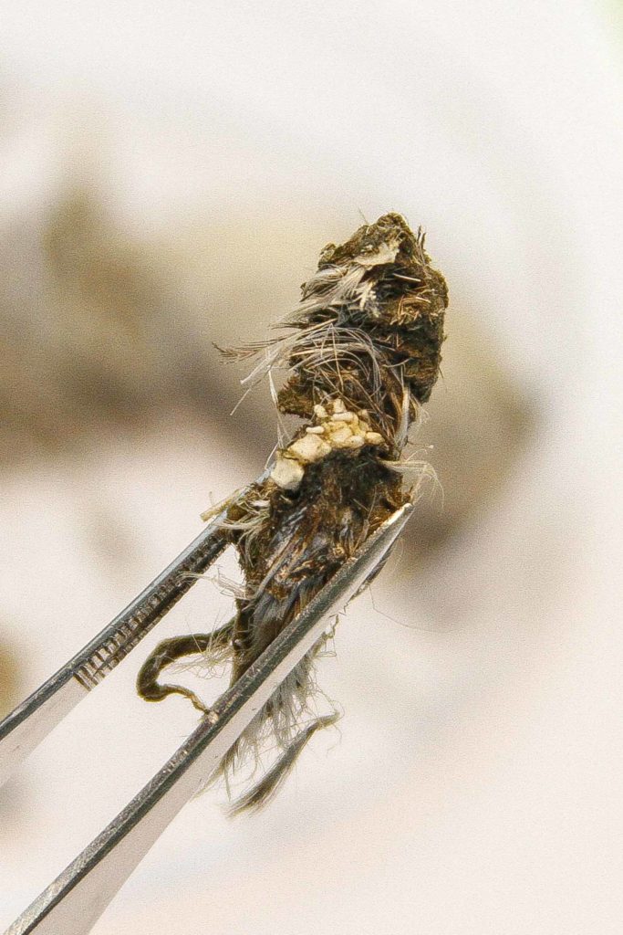
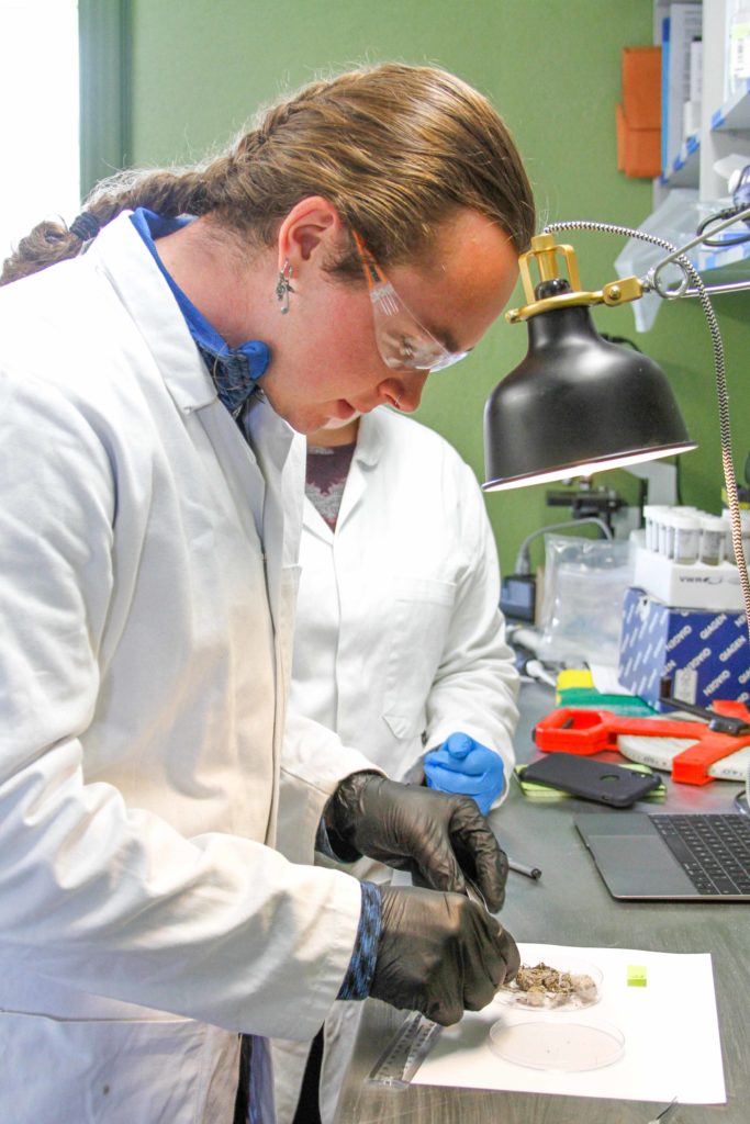
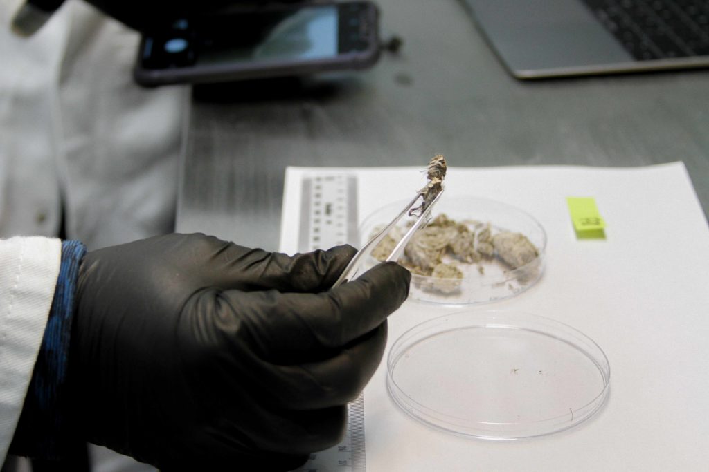
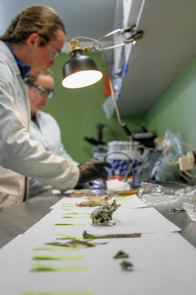
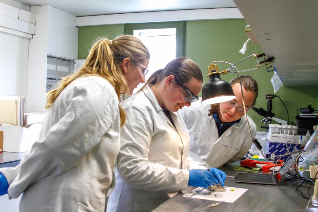
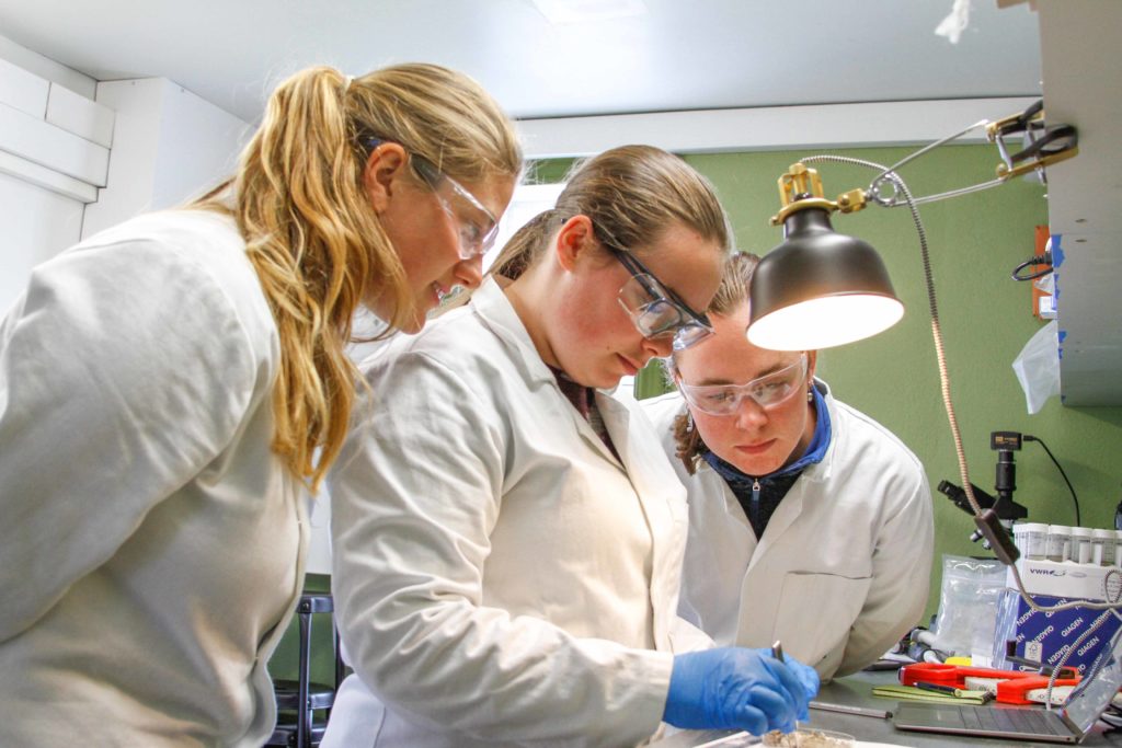
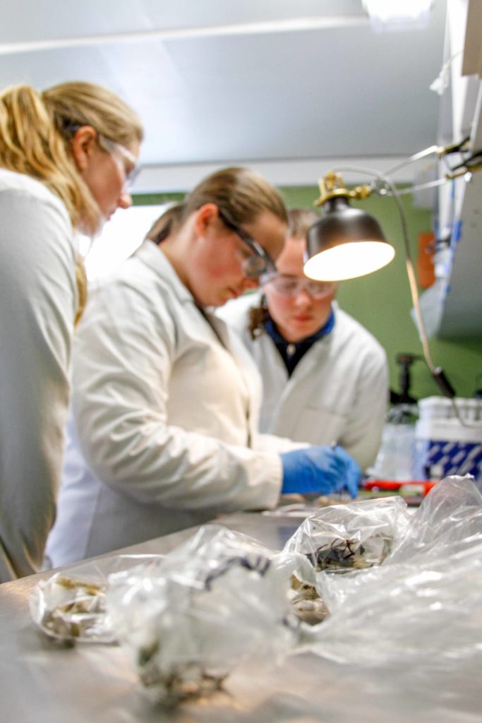
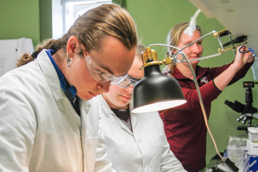
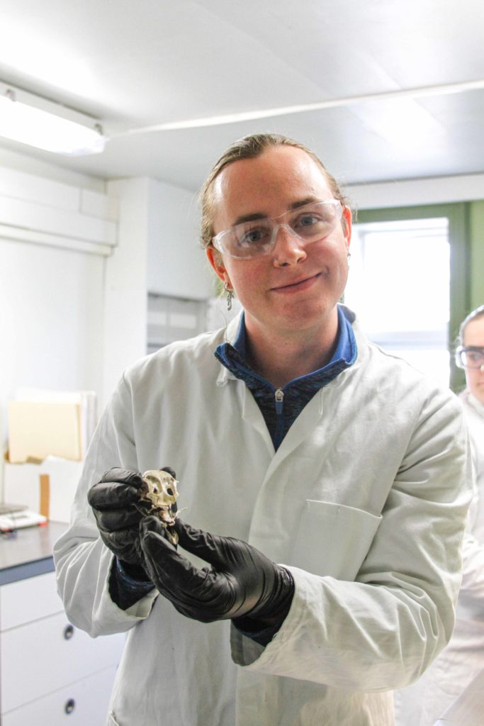
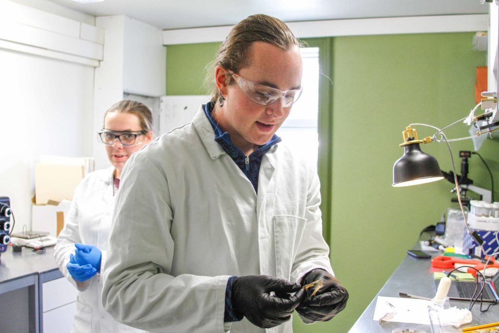
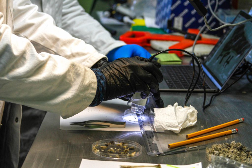
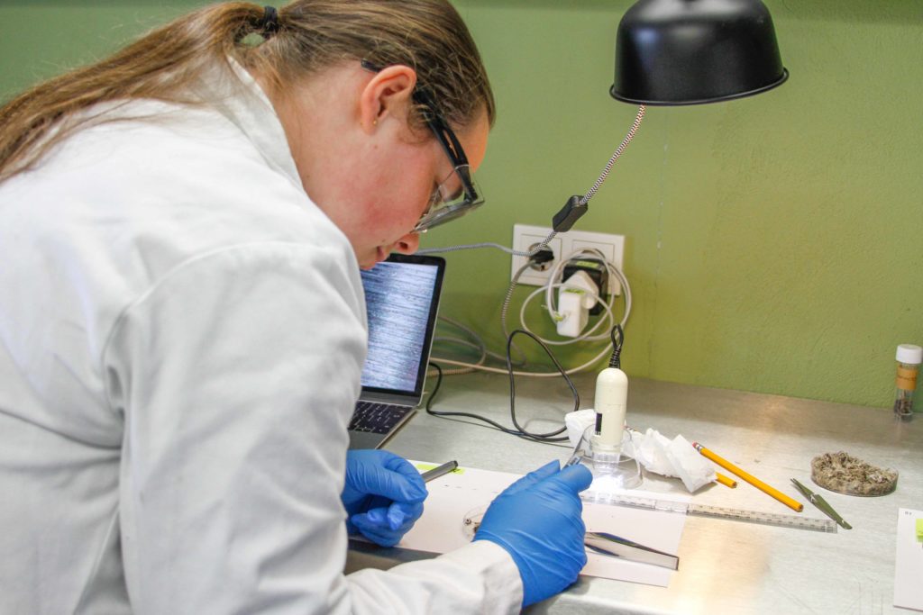
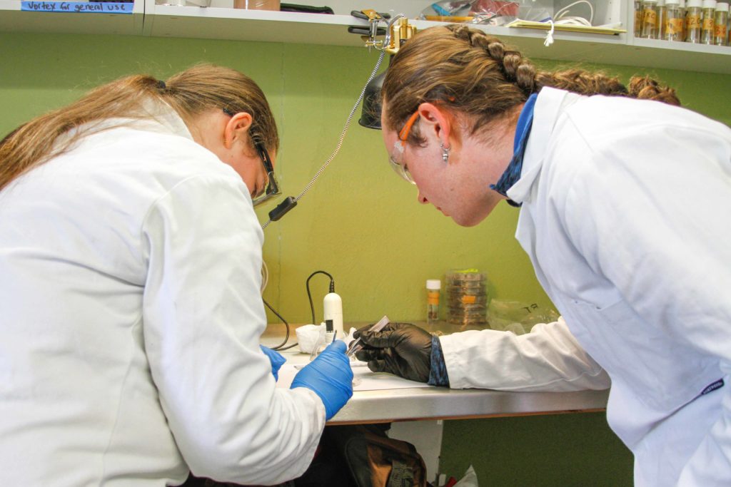
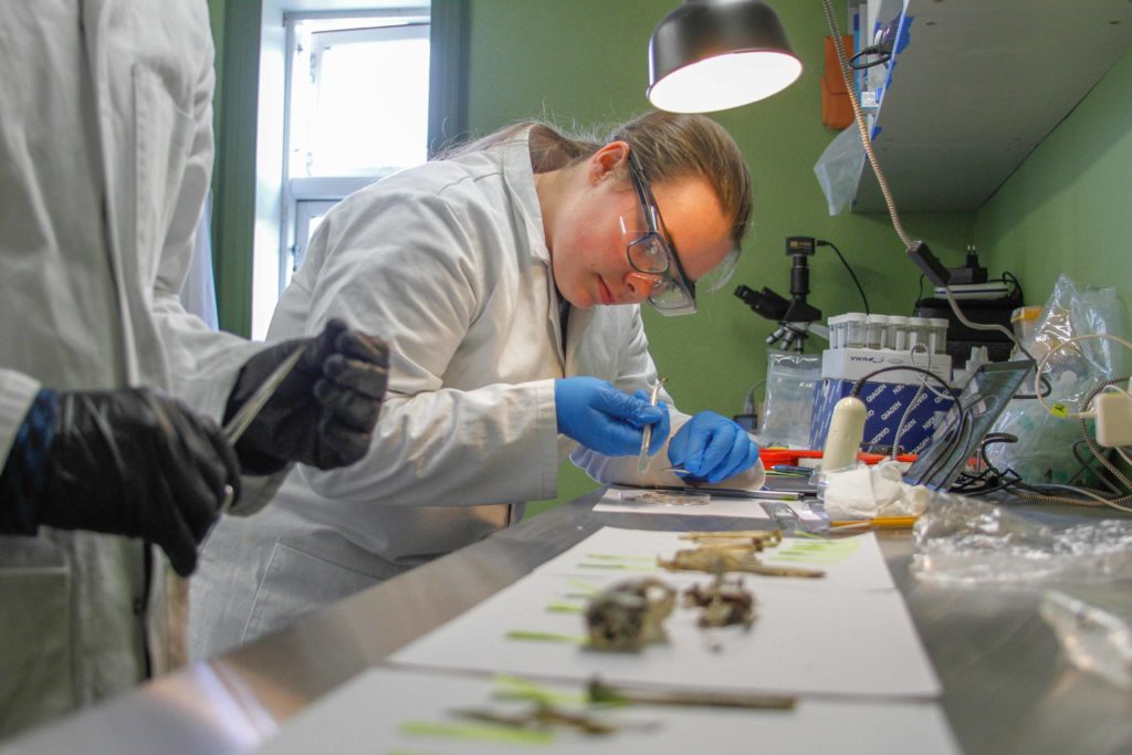
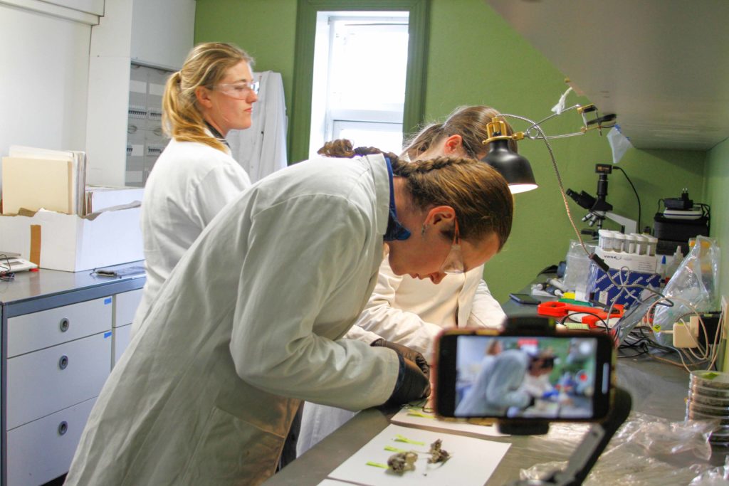
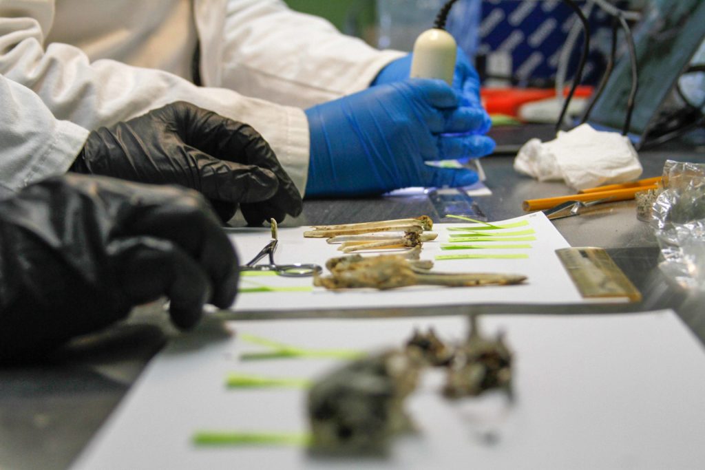
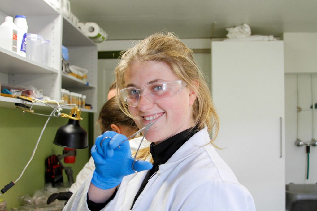
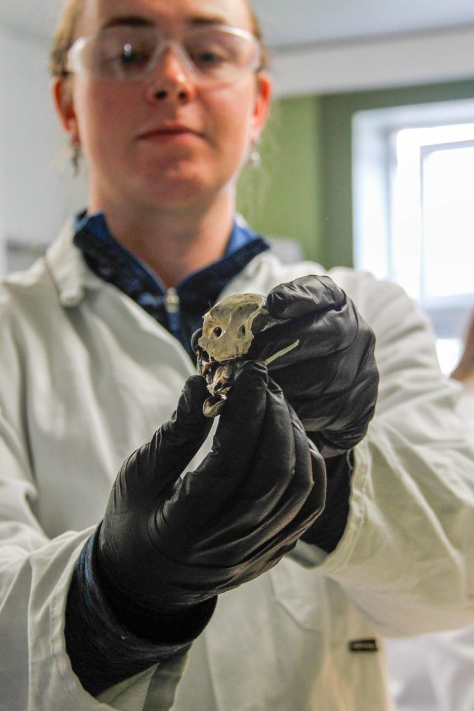
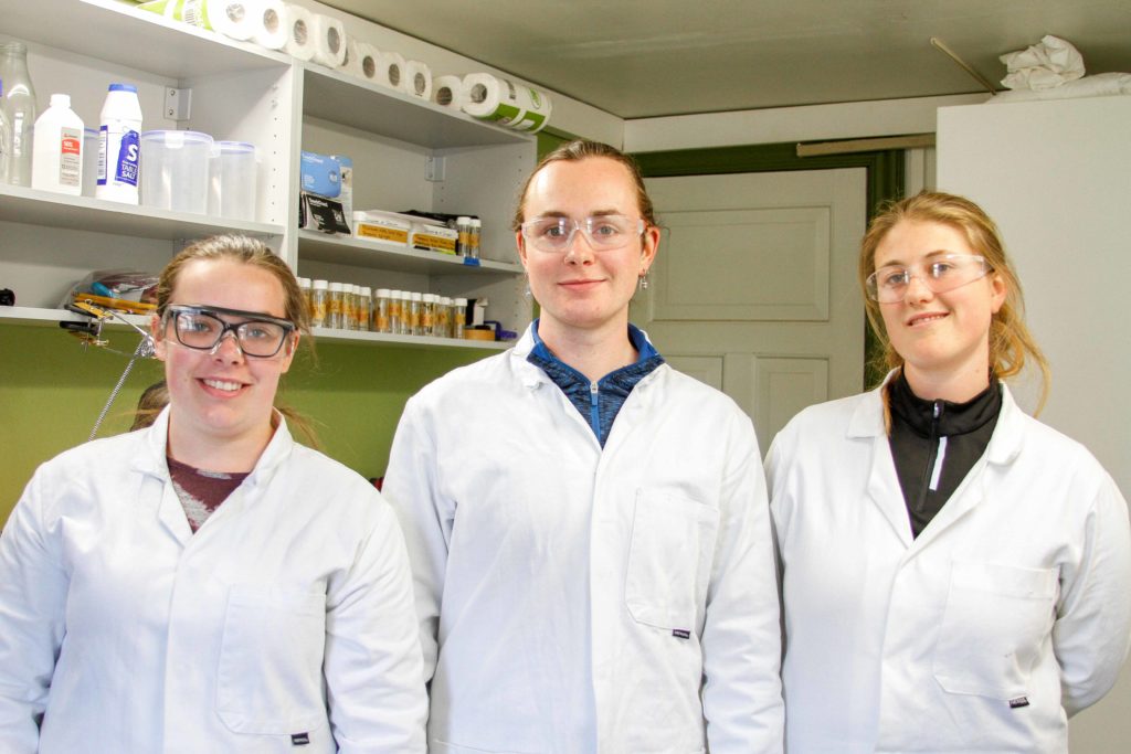
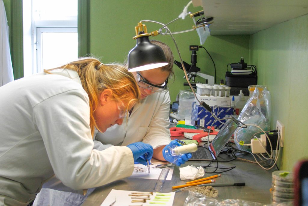
At the Skalanes field center, we live with another team of researchers from the University of Glasgow. They are a group of 6 students who self-organized and funded the trip to Iceland, following the precedents of student researchers in previous years. Some projects they work on in Iceland include observing puffins, eider ducks, and foxes. The photos below include Avery, Abi, and Clara examining, recording, and photographing bone samples collected from various locations, including bird and fox feces. I will be interviewing some of the Glasgow students in the next couple of days to learn more about their work, so stay tuned! [Photos by Yujeong Lee]
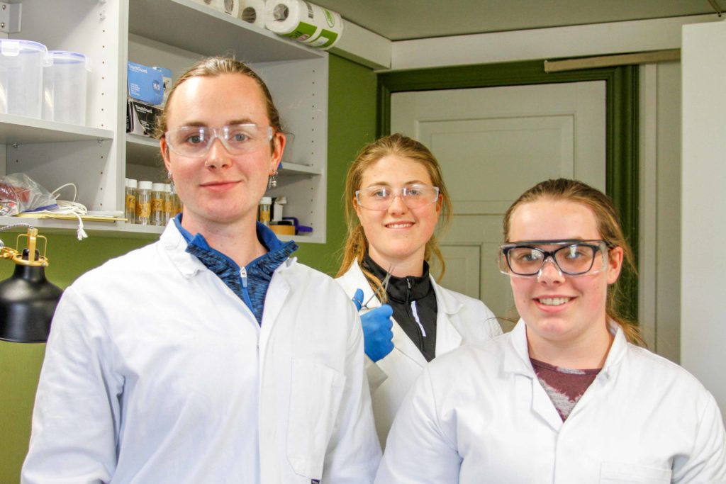
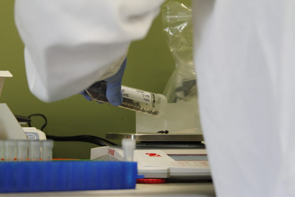
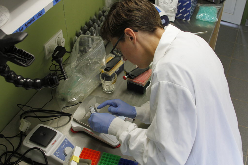
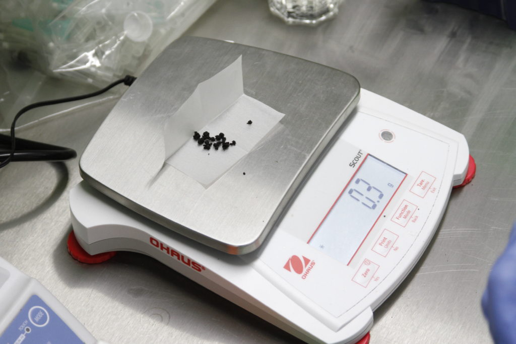
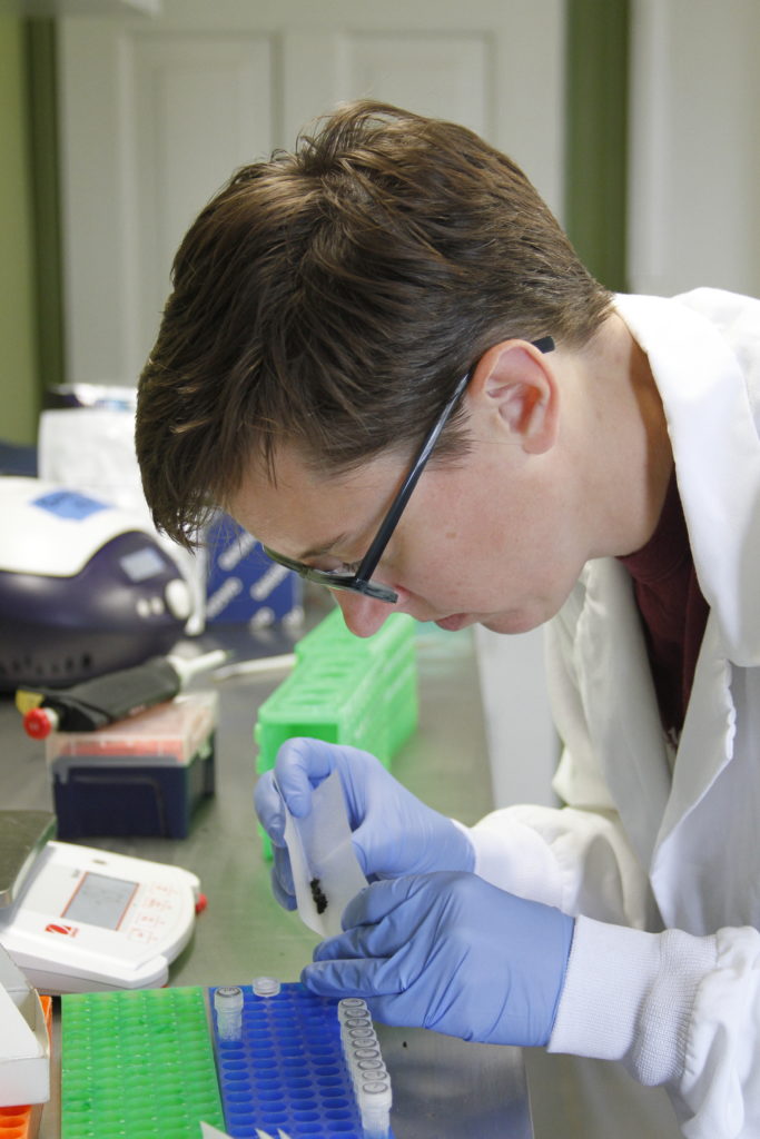
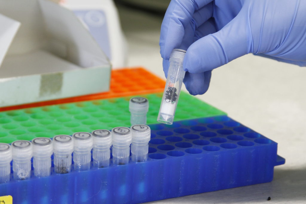
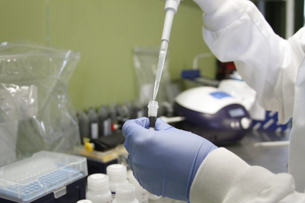
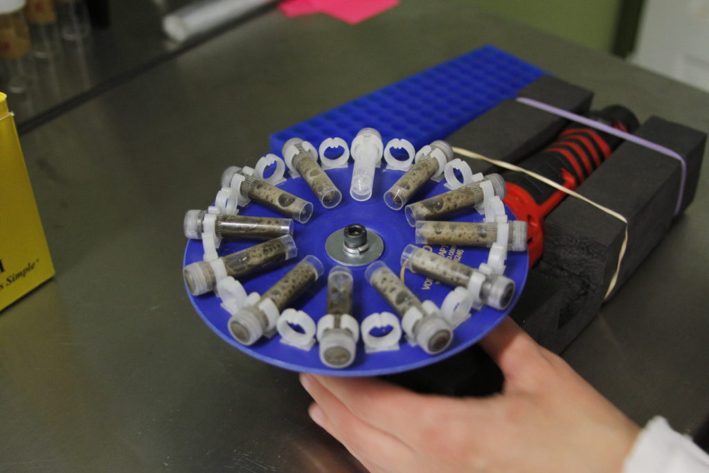
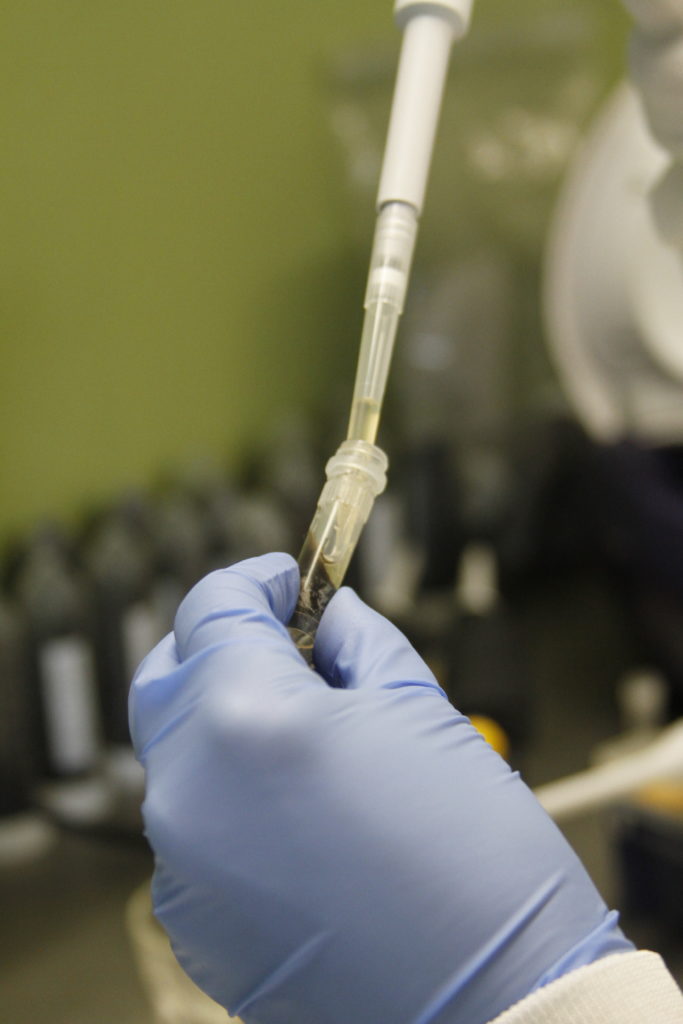
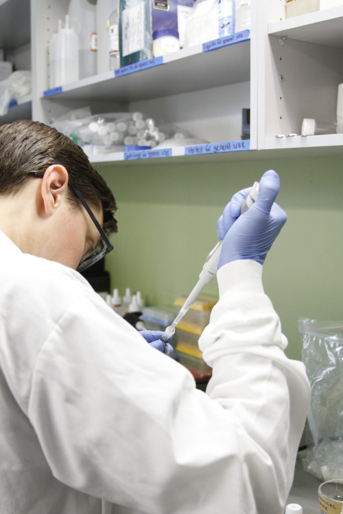
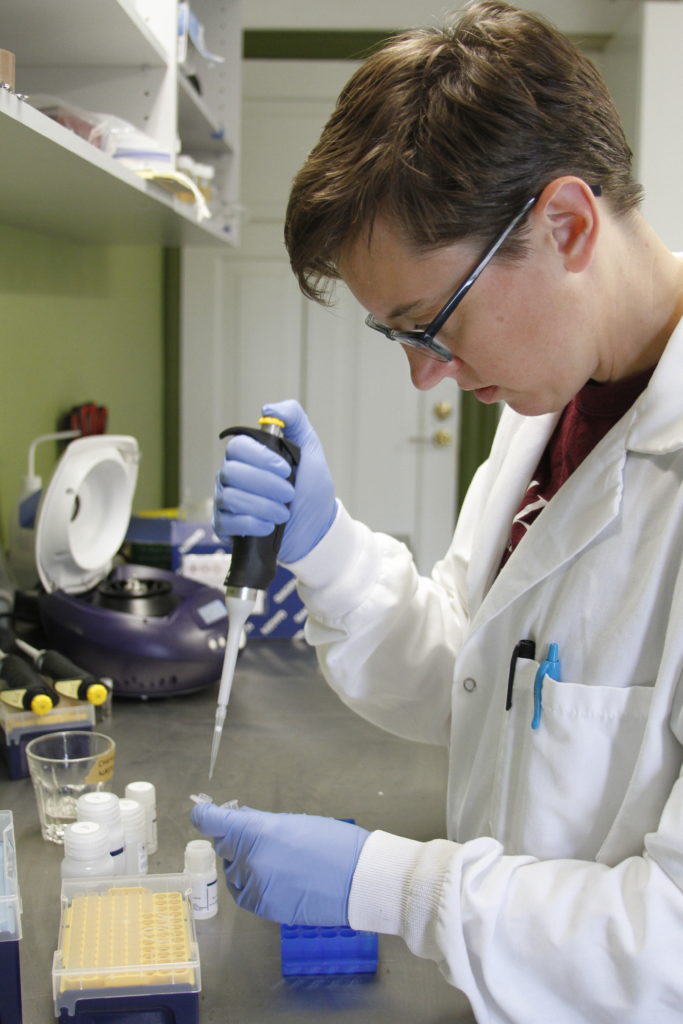
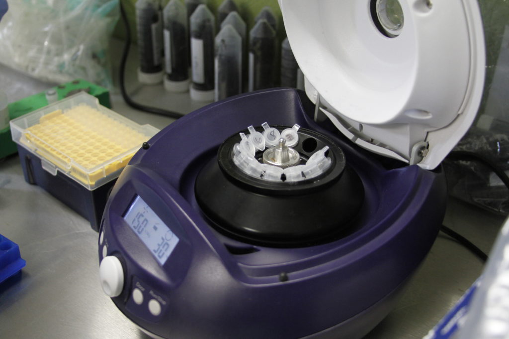
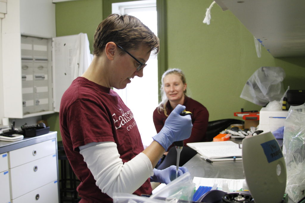
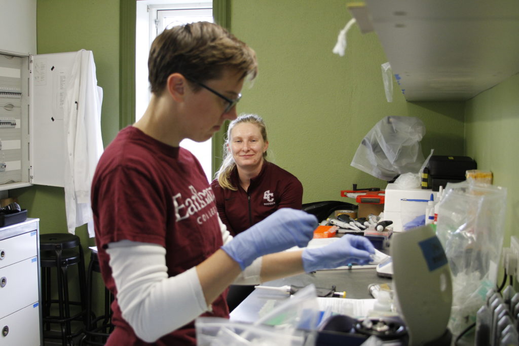
On June 14th, Emmett Smith (he/they) and Faith Jacobs (she/her) successfully extracted DNA from soil samples. This lab is located at the natural and heritage science research center in Skálanes, Iceland. To learn more, read Emmett’s blog post here, and follow us on Instagram!
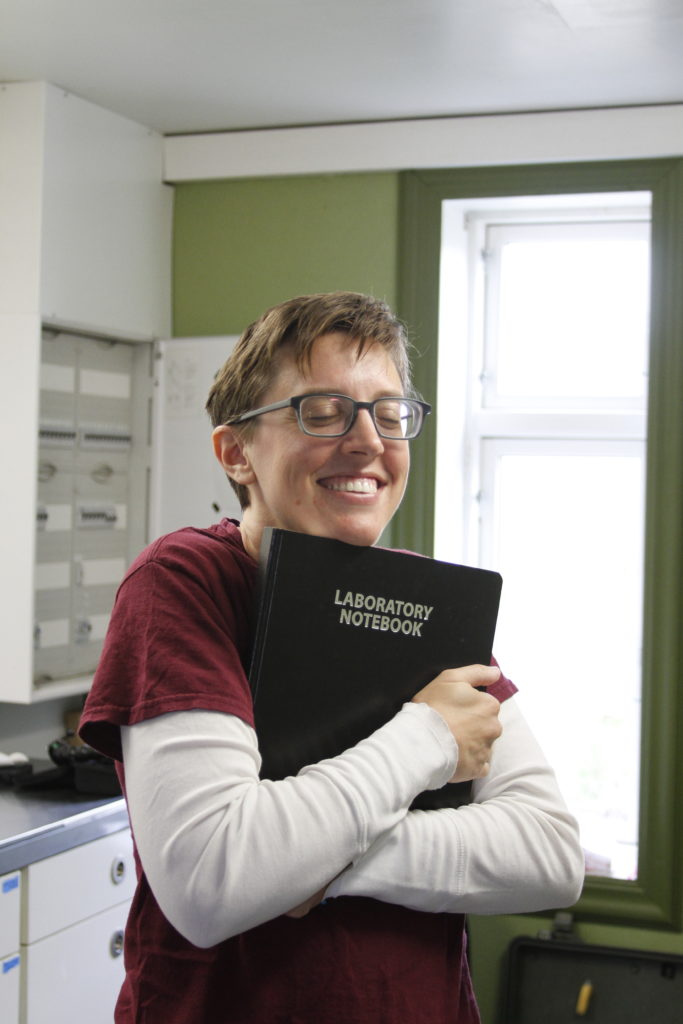
Scroll down to see the best photo of Emmett hugging his lab notebook 😚
Today June 10th was the day of the solar eclipse. The sky was so cloudy when we woke up around 8 a.m. that we thought we wouldn’t get to see the eclipse at all. Just when I had given up on the idea of photographing the sun, I heard Seth calling my name, “Yujeong, Yujeong, come see this outside!” And there it was, the sun slowly revealing itself as the clouds started clearing up around 9:30 a.m. Only the partial eclipse, not the annular eclipse, was visible in Iceland, and the maximum eclipse happened around 10:17 a.m. (although the sun was not visible during the time due to clouds).
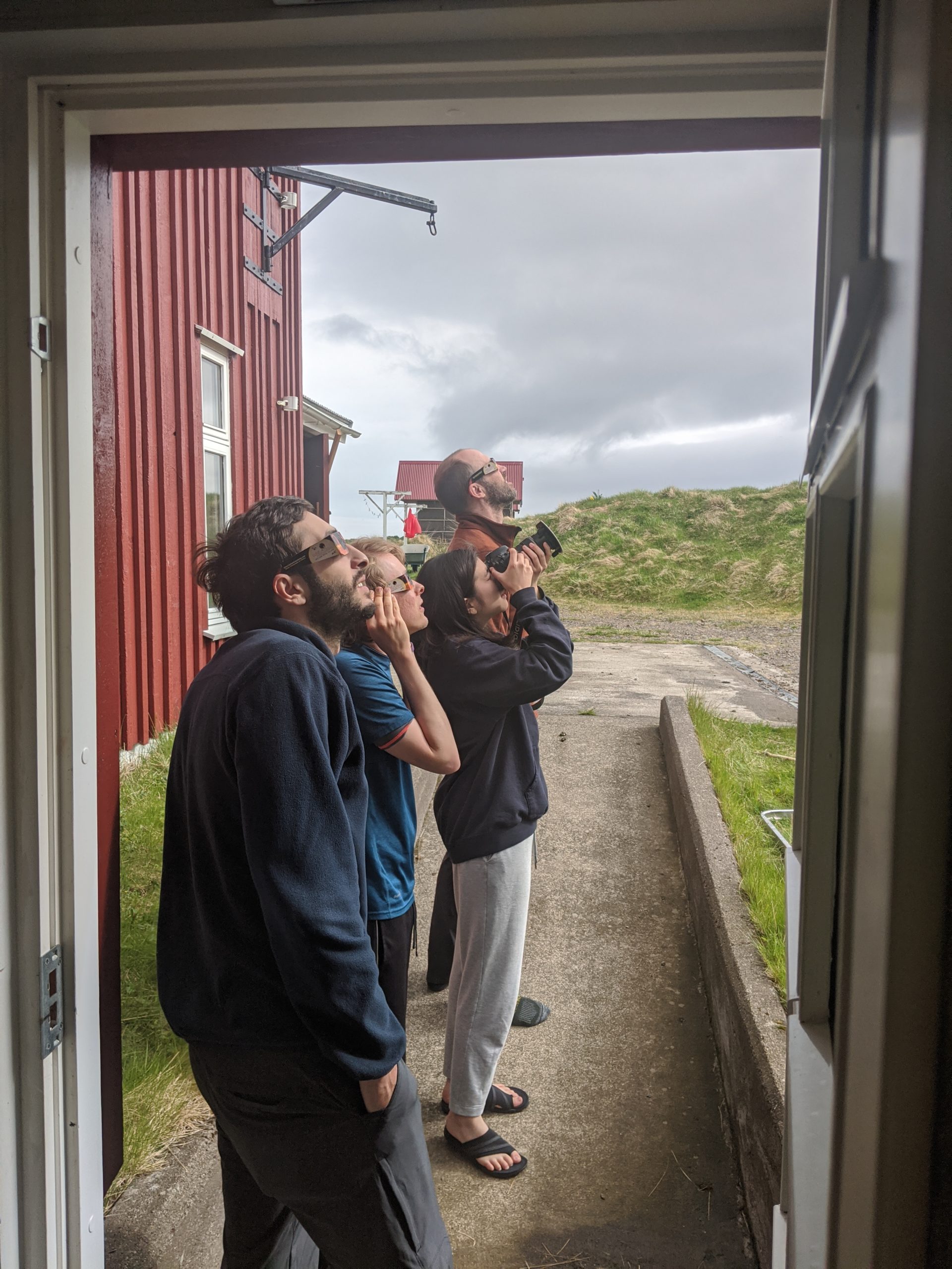
Davit, Craig, Yujeong, and Seth watching & photographing the eclipse. Photo by Charlie Peck.
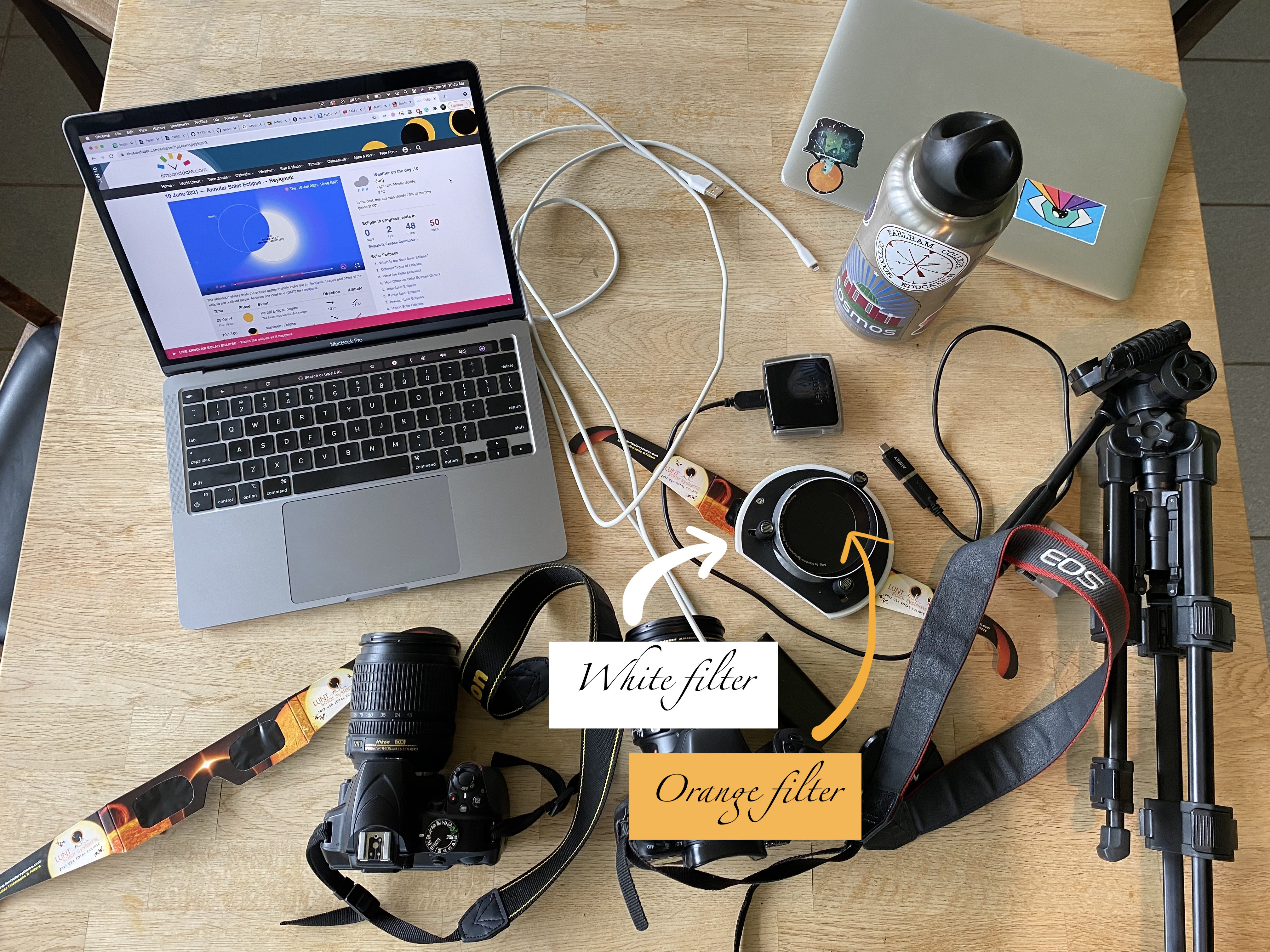
Camera gears, solar filters, eclipse SUNglasses. Photo by Yujeong Lee.
Seth came prepared with a set of eclipse sunglasses for the whole team to watch the eclipse. He also handed me two solar filters to cover my camera lens with. I am familiar with the solar filter that gives yellow-orange color to the sun, but it was my first time interacting with a white light solar filter. Seth also taught me today that I should set my camera focus to infinity to capture astronomical images. Although I am holding my camera in the photo above, I soon brought out a tripod for more stability. Here are some results of the shoot, and they are beautiful.
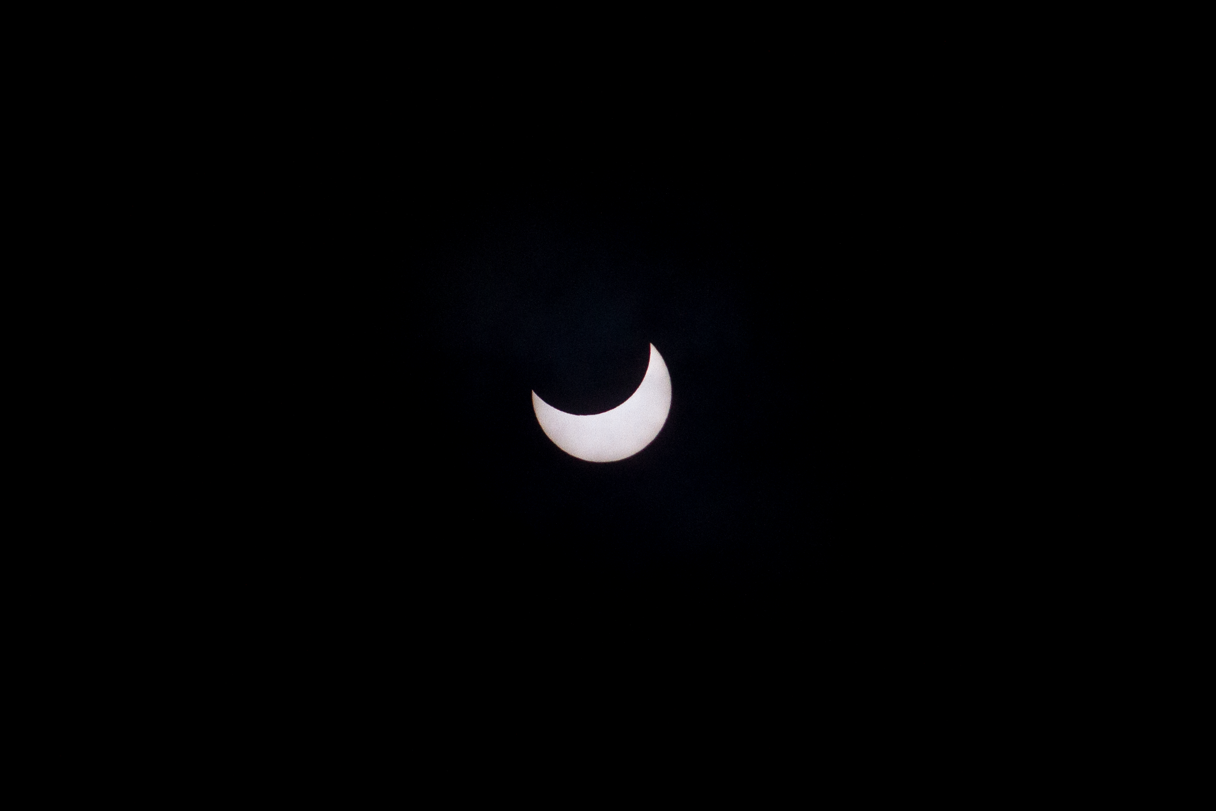
Solar eclipse as seen in Skálanes, Iceland. Photo by Yujeong Lee.
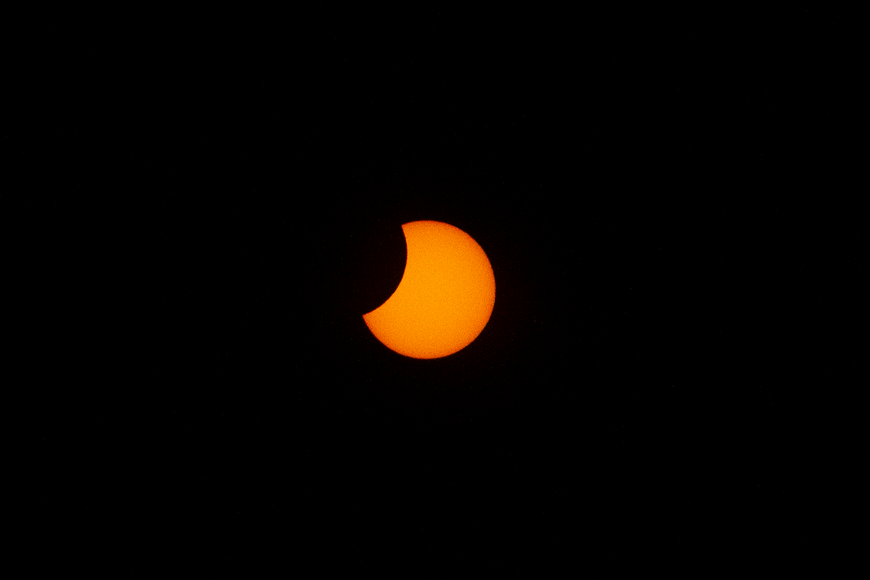
Solar eclipse as seen in Skálanes, Iceland. Photo by Yujeong Lee.
Besides the eclipse, Tamara and Davit had a mostly successful day flying the drone in two different locations (one in the roundhouse and another near the research center). Just before dinner, we tried going swimming on the beach, but we went to the wrong one where there were lots of birds poop ;- ) For dinner, Emmett and Beth (a student from Glasgow) made us pasta with fresh vegetables, not to mention the sourdough bread Emmett prepared & baked since yesterday! 🤯
After the very long day(?) of waiting in various airports, landing in Iceland, then immediately hiking for several hours to collect soil samples, I had almost forgotten what it means to feel tired, and our team lost track of time and day. And of course, Iceland’s never-setting sun wasn’t of much help. :- )
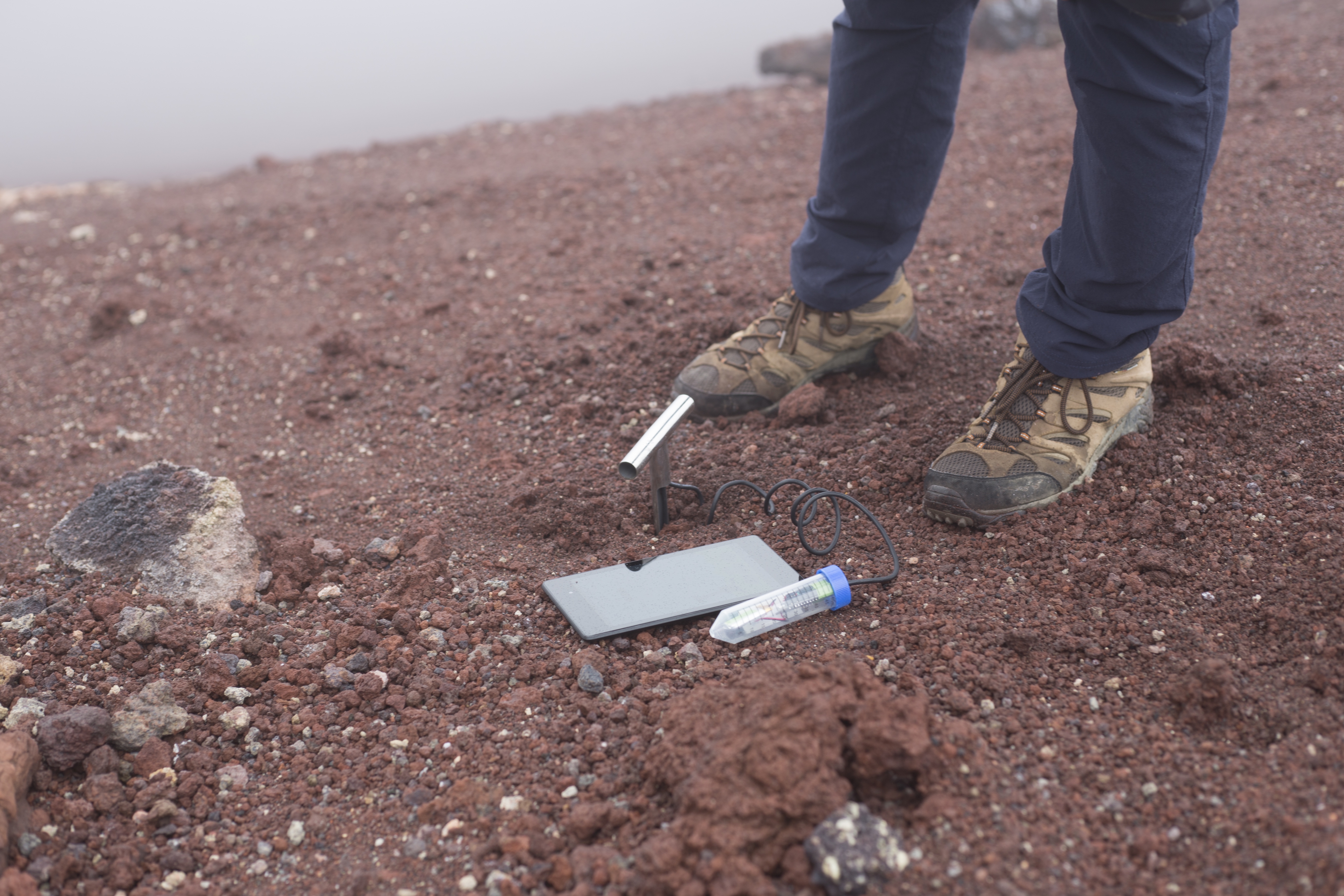
Remote shutter release after soil sampling at Sólheimajökull. Photo by Yujeong Lee.
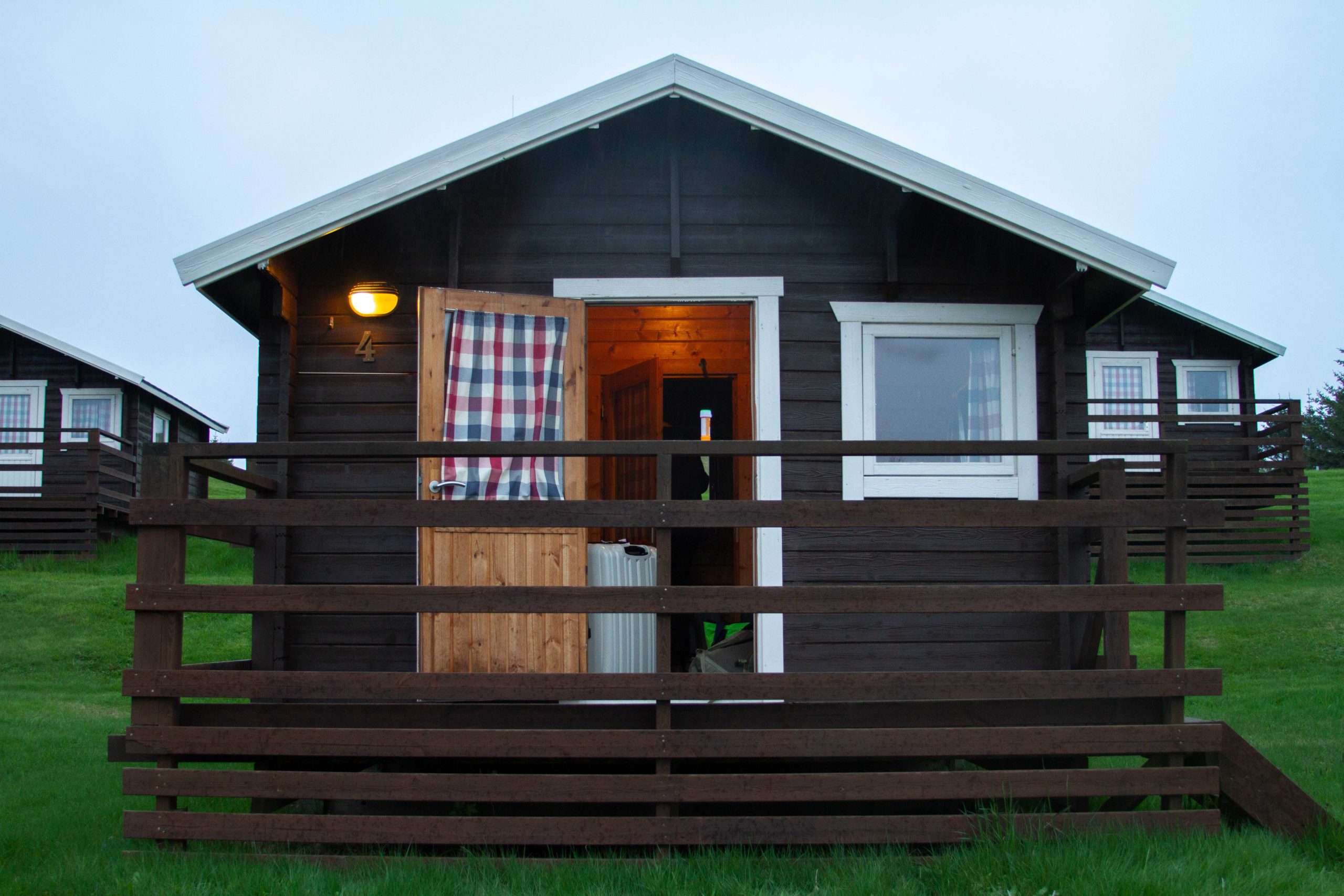
Our first official temporary housing was at Höfn Cottages. The small cabin was equipped with a small kitchen/restroom area and a room tightly packed with bunk beds for four. The wooden beds were quite beautifully built into the cabin with the lower bunks wider than the top bunks. There was enough space for one person to move through in between the bunk beds but nothing more. The restroom had a toilet and a sink without hot water. The small kitchen area was packed with a small electric stovetop and a sink on the left and a round table with two chairs on the right. Laminated instructions and cabin rules on the wall informed us that 3 minutes of hot shower would cost 100 króna at the common shower facility. Tamara and I walked to the common shower late rainy evening and each successfully took 3 minute showers.
The cabin I stayed at along with 3 other people. Photo by Yujeong Lee.
Davit and his bubble. Photo by Yujeong Lee.
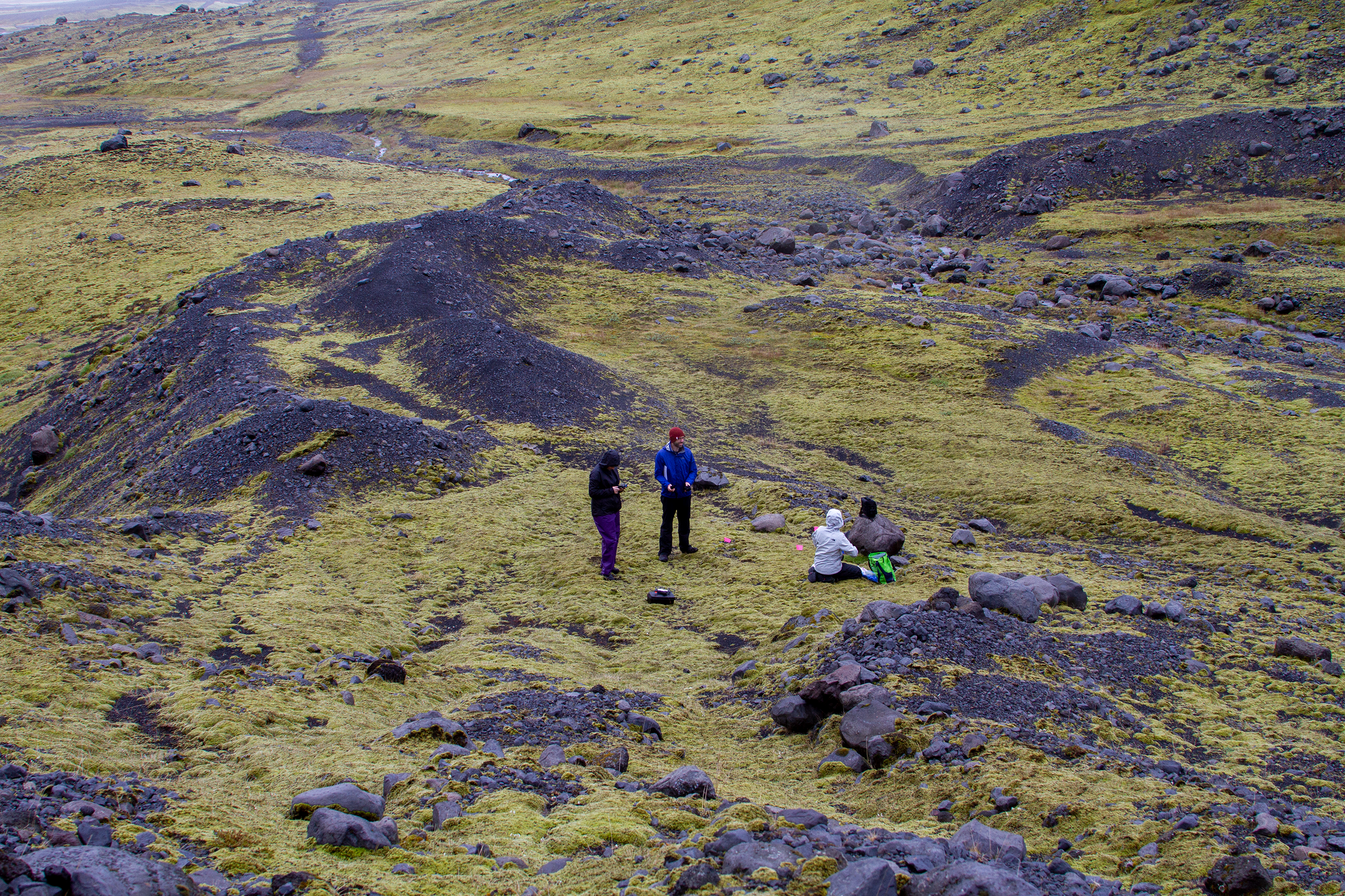
Charlie made us fabulous oatmeal for breakfast the next morning, and we were soon on our way to Kvíárjökull. Just like the first day of soil sampling, we split into 2 teams to go to different locations. Having photographed the team with Emmett, Seth, and Tamara already, I followed Charlie, Craig, and Davit this time. Walking on the endless mossy and dark soiled land, I thought I would encounter a battle in Narnia, then another moment I felt I was a character in a game of battle royale.
Emmett, Seth, and Tamara at a soil sampling site. Photo by Yujeong Lee
After collecting 2 sets of samples in the various locations Emmett had planned out for us, we finally reached the research center at Seyðisfjörður after 4 hours of driving!
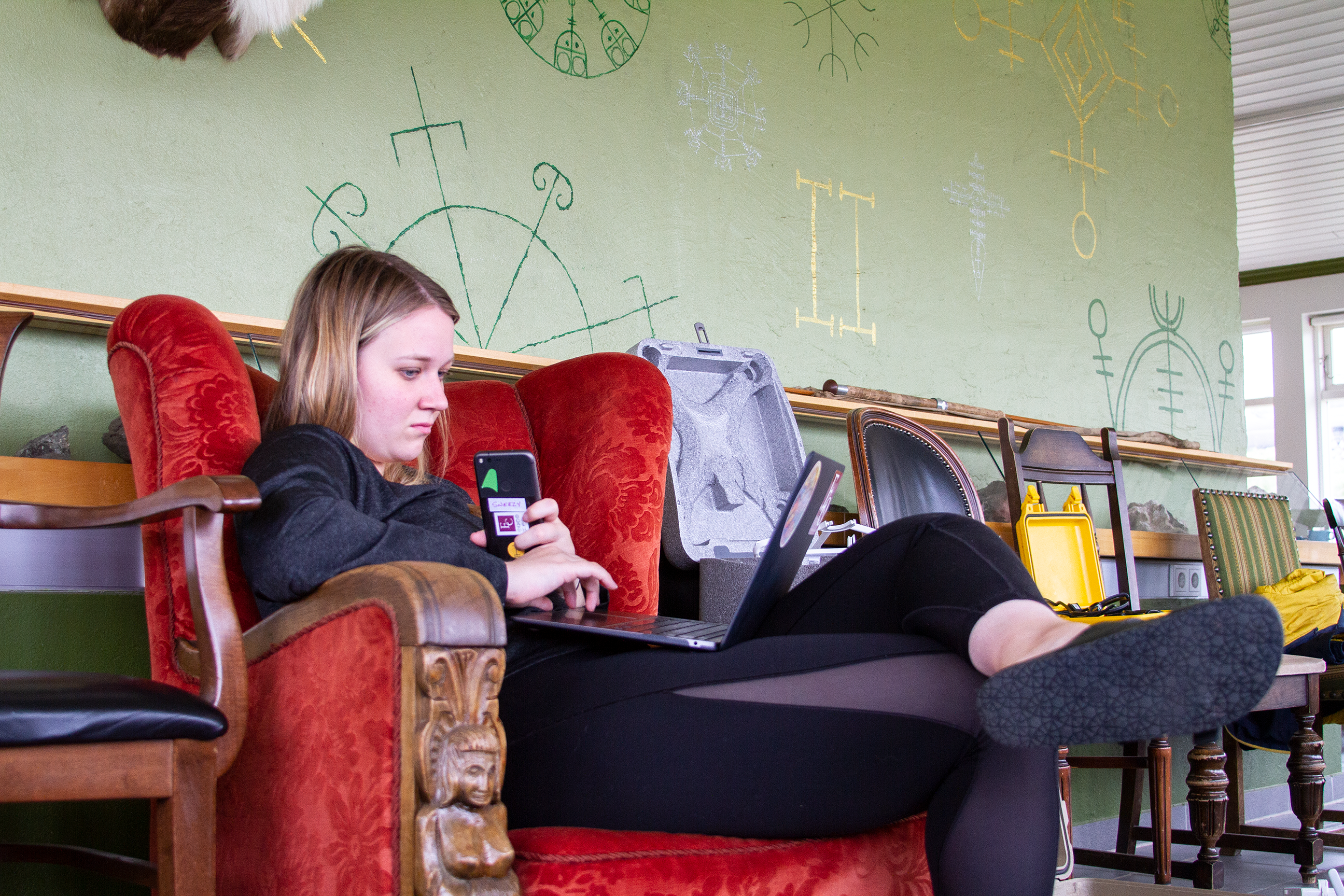
This summer I have the honor to join the team in Iceland to document the research. And what a time to travel with the team under the National Geographic Society grant! With my background in computer science and experience working with Earlham’s marketing, my role in Iceland as a storyteller includes updating our WordPress site, creating a social media presence, interviewing current and previous participants, creating videos, taking photographs, and producing writings from time to time.
I came in with a good amount of experience in photography and social media management, but most of the work I did for the research team has been a learning experience. I learned to get around WordPress by adding a few design updates to the Field Science site, especially the importance of producing a responsive website (those that don’t break with zoomed in or zoomed out) for the users on different devices to effectively gain information. By interviewing Charlie P. and Craig E., I gained a better understanding of the history and development of Icelandic field studies. Interviewing Gail Connerley was especially interesting with her knowledge of wilderness travel and enthusiasm for the research. Gail had traveled twice to Iceland with the research team and introduced effective wilderness travel methods like assigning a different leader each day.
One of the best things about being a storyteller is all the gears we get to use for the research. Many drones, a few GoPro cameras, and a smartphone stabilizer provide a lot of space to create and be creative.
I often ask myself “what am I not doing right now that will make my future self regret?” I think I will regret not having made as many videos as I can and not having learned to fly the drones if I don’t.
This is the first of a couple of short clips from the GoPro dashboard cam that we used in 2016 (we plan to again this year). The wheat-to-chaff ratio is pretty low, but the kernels you do find tend to be gems. In this clip we are driving down to the red sand beach on the West coast of Iceland. It’s near the end of a long day of driving from Akureyri, Nic is at the wheel with “support” from Erin, Deeksha, and the Talking Heads.
Today we woke up early in order to catch a 9:45am ferry to the island of Heimaey. Fortunately no one got sea sick, granted the ride was only a half an hour in fairly calm waters. Upon arrival we headed to our Airbnb for the night, which is a beautiful house just a few blocks from the harbor. Our hosts were incredibly nice and told us about the local pub and where there are interesting places on the island. Rain and clouds engulfed us all morning so we waited for it to clear up a little. After lunch we geared up and headed to the harbor to start streaming. The clouds hung low over the mountains creating an peaceful atmosphere over the fishing boats. We started streaming a meter above the water and walked from there up the the lava fields. The rocks were covered in moss with lupin stealing space in every crack. We could see where houses use to be before the 1973 eruption of Eldfell. We knew a lot about the eruption from the book Island on Fire which made the hike much more interesting. The hike included some walking along the road and then a steep ascent up the volcano. As we started walking up the wind picked up and blew rain into our faces. The summit was a scree trail which made hiking a bit more difficult. We took altitude, temperature and GPS coordinates at the top and then took our soil samples. We all stuck our hands into the soil on the side of the crater, enjoying the warmth. We took some time on the way down looking at the different rocks. There were red, black, orange, brown and yellow, all of varying textures. We walked back to the harbor to finish streaming and the headed back to our house for the night. We went to the pub our hosts suggested called 900 Grillhús. Here we enjoyed fresh seafood, fish, pizza and burgers which watching some soccer. Our day has finished with some data uploading, tech support and relaxing.
Our Airbnb on Heimaey.
A view of the city.
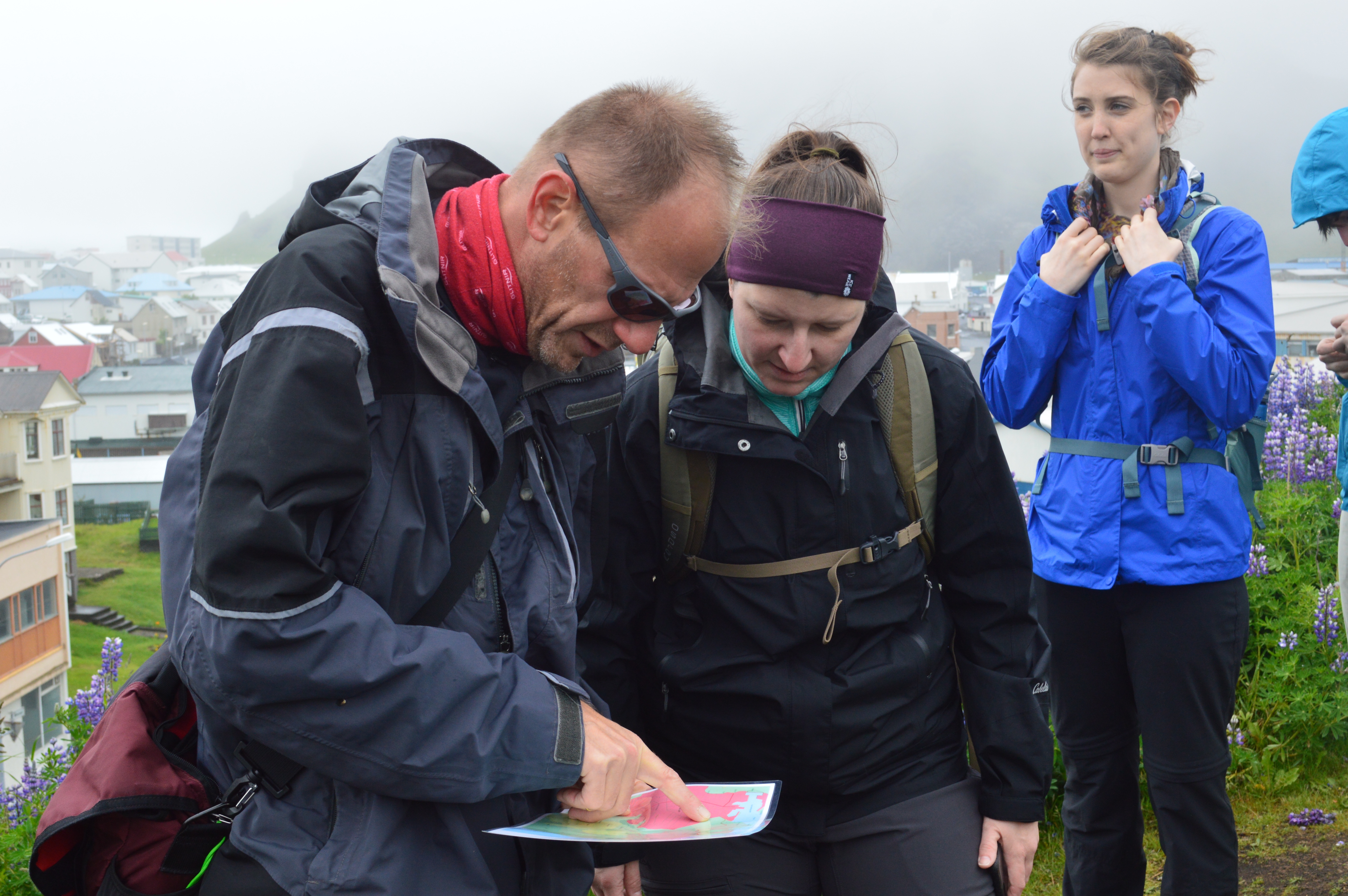
Charlie and Gail reading our map (with Tara in the background).
This week was very busy. First of all I pretty much finalized the maps we have here, cutting, taping, folding and laminating them so they are ready for use in the field.
We have field day Friday where we split into two groups and collected data at several points. For this I sketched maps of the area that included all roads but only a few labels in order to do a little navigation practice while collecting data.
Charlie and Kristin gave me data from the last trip to Iceland on soil samples and the archaeology site. The data had XY coordinates in it so I was able to bring it into QGIS as a csv and visualize them on the map of skalanes. I did the same with the coordinates for the fox dens that Oli gave us. I was able to check with Oli, fix what needed to be fixed and confirm their locations.
I had a lot of communication with Anna from TREK Iceland this week. I confirmed with her what our needs and we finally have everything straitened out. I just need to hear back from her on prices and on a guide confirmation (I asked for Gummi however said that we are flexible if need be it would just be easier with him).
Next was a lot of work this week on stitching together photos taken by the drone. Nic and I went out quite a few times this week to both practice flying and getting pictures of the area at different heights. We took series of photographs from 10, 30 and 50 meters and I tried to stitch them together. Stitching them together is not very difficult when in reference to just each other because I just georeference points relative to points on other photos. The difficulty is placing them in relation to the world. I tried using google earth images to reference them but I am beginning to thing that taking a GPS point of known features in the area and using those as reference points may be more successful. I want to try this out this week.
This weekend I worked on installing QGIS onto the macbook going to Iceland and I brought over the map I have made so far. The only part we need to be careful about here is that any layer in a map you are using must be sourced to a place that that computer can access (eg. that computer). We can change the source but I had to individual make sure each layer was included separately when moving data over. Again pretty simple but it is good to be aware of and it takes a little bit more time.
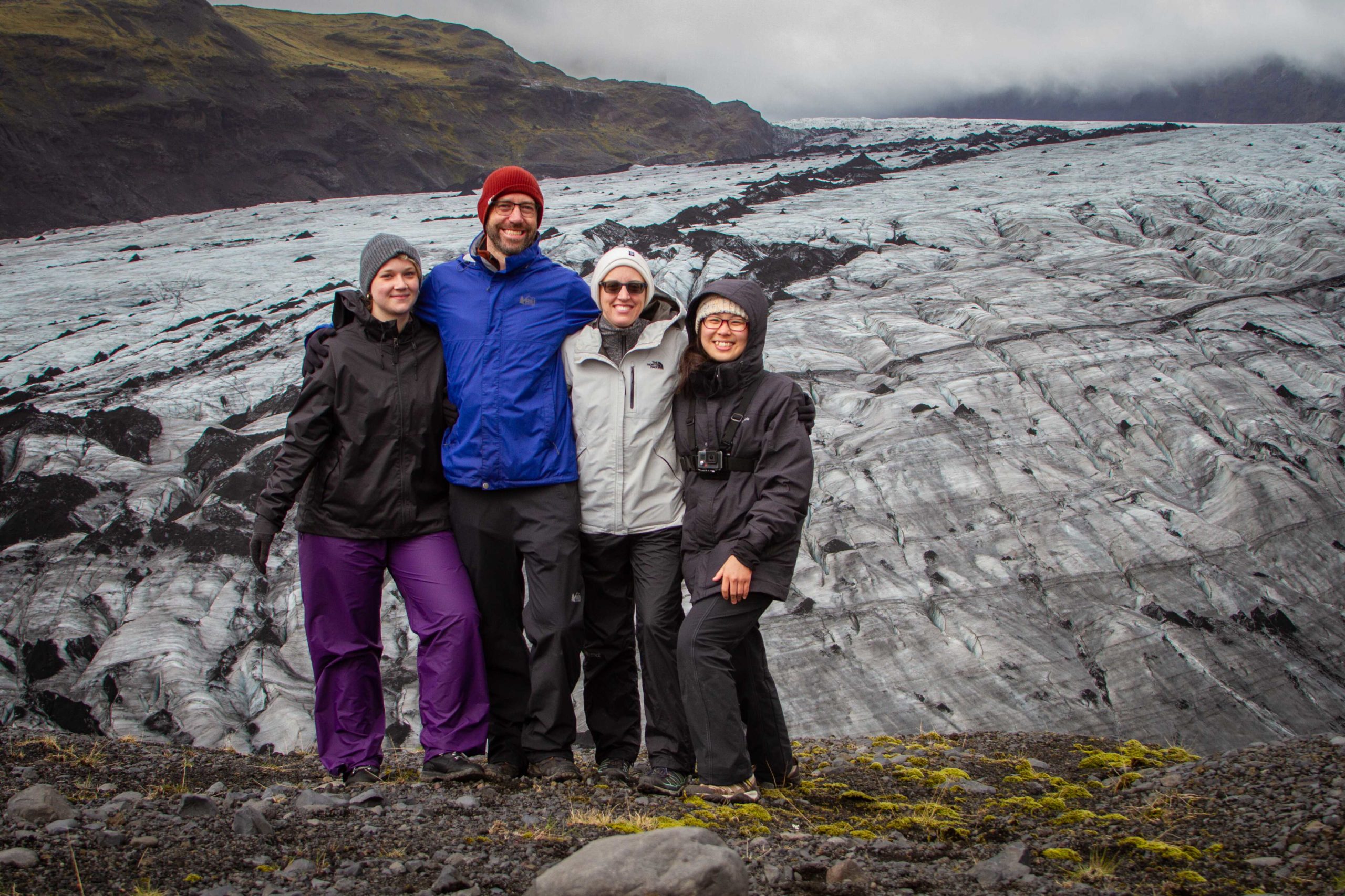
Early last week I found the National Land Survey of Iceland’s ArcGIS map viewer. This proved to be a very useful tool. This allowed me to make individual topographic maps of all of the places that we will be going. The tool allows the user to add there own lines which allowed me to create a scale. I highly recommend playing with the tool (link below)! I printed the maps in color on 8X11 paper and they are next to the computer in Hopper. The next step is just to laminate them and make sure we have all the places we need. The following is an example however I did this for the five different glaciers- Sólheimajökull (smaller glacier); Skaftafellsjökull, Kviárjökull, Svínafellsjökull and Fjallsjökull (big glacier). I also did this for Þingvellir, Heimay, Grímsey and Klauster, all of which are areas we will be visiting for either science or studies purposes. Klauster and Þingvellir have two maps of different scales in order to better capture the information we will need.
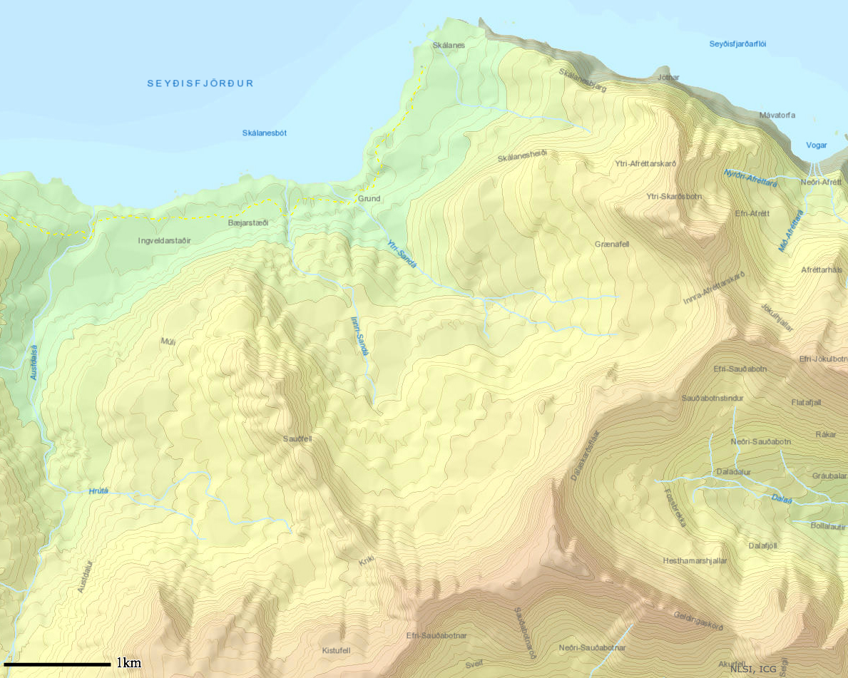
Land Survey of Iceland topographic map of Skálanes with scale.
I worked on many other small projects this week. One of these was getting in touch with TREK Iceland. This was a group who took the Iceland group on the glacier and to the river bank last time. I have been in tough with them over email and they will be taking us to the glaciers and to the river bank to get soil samples on June 28th and 29th. I have also been in contact with the map store in Iceland that I mentioned in my last post. Another small thing was researching glacier sampling a little more. I created a document in the glacier folder of links to informational papers and website to help us better understand the glaciers and how best to go about sampling them.