Today was a combination of exploring, testing and traveling. This morning we briefed the group on what will take place the next few days that we spend working at the glacier Sólheimajökull. Then we packed up and checked out of the B&B Guesthouse after a lovely stay. A subset of us worked on the drones and elevation platforms, while others of us were took one last hike on the island. After boarding the ferry, we drove east on route 1 to Vik, our destination for the next few days.
I was able to hike a very fun steep path up to a cliff top where we got a fantastic view of the island. We had to use a rope to climb a steep slope of scree, but the views were worth it!


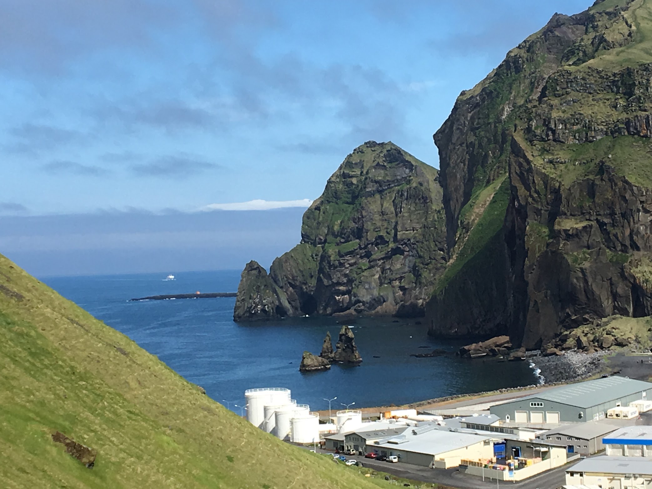
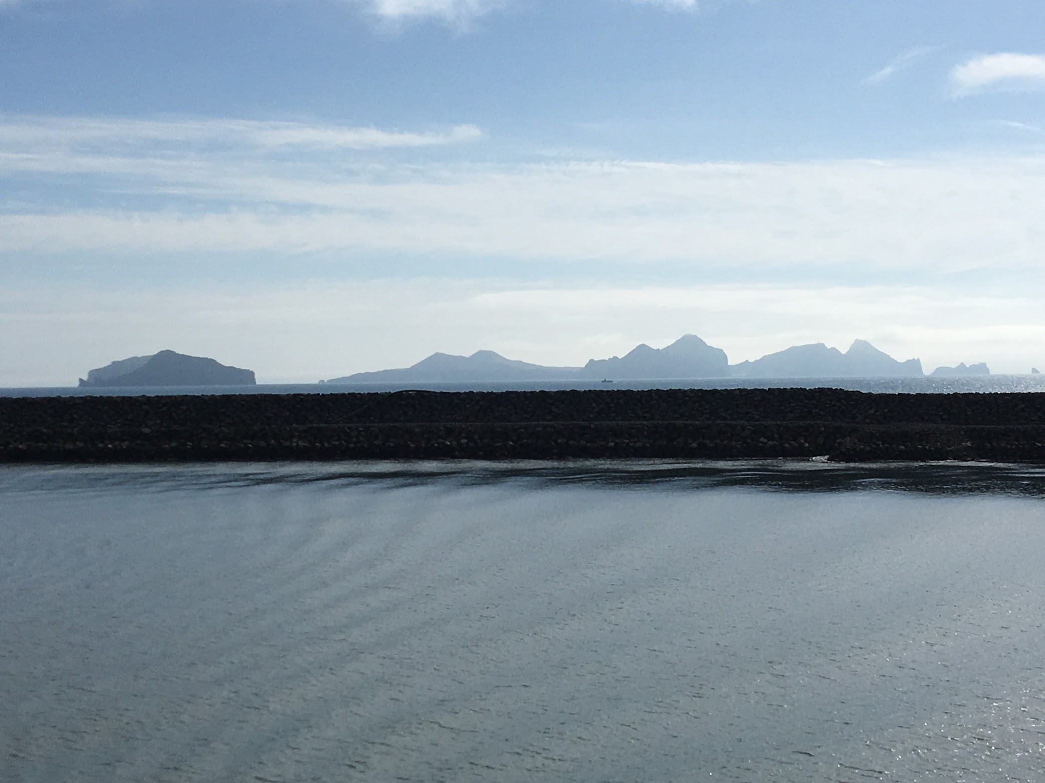
After hiking, we all got on the ferry to head back to Iceland.

We drove past Sólheimajökull on our way to Vik. This is the first major science stop. In the next few days, we will be hiking on the glacier itself to measure its elevation and calculate the volume of its snout. We will also be collecting soil samples from a variety of locations surrounding the glacier. DNA will be extracted from the soil and we will sequence it to determine what types of bacteria are living in each sample. This will tell us how Icelandic soils recover from glacial coverage over the years. I’m excited to begin!
Leave a Reply
You must be logged in to post a comment.